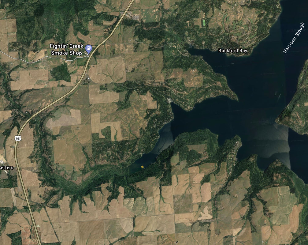
WINDY BAY LAUNCH
PADDLE DISTANCE: varies
ELEVATION: 2128’
LENGTH AND ACREAGE: varies
MAPS: IPNF, Worley topo
LAUNCH GPS: 47°46’36” N 116°93’08” W
ELEVATION: 2128’
LENGTH AND ACREAGE: varies
MAPS: IPNF, Worley topo
LAUNCH GPS: 47°46’36” N 116°93’08” W
DESCRIPTION:
Windy Bay is one of the larger bays on Lake CDA, and as the name implies, it can be very windy.
Up the SE end of the lake is Lake Creek to paddle up if its windy on Windy Bay.
Up the SE end of the lake is Lake Creek to paddle up if its windy on Windy Bay.
ATTRACTIONS
Huge Bay with a nice creek to paddle up.
DIRECTIONS:
Drive south on Hwy 95 from CDA to the W. Settlers Road, and turn right. Drive a short distance to W. Bitter Road, and turn left, and drive back under the Hwy , staying on W. Bitter Road, to S. Lakewood Cove Road, and turn left almost to the lake, but turn left onto W. Ice Storm Road, to the 4th dock from the end
COOL THINGS CLOSE BY:
Sun Up Bay, Rockford Bay, Rockford Point, and the main body of Lake CDA
R & P:
Trails End Brewery, Franklins, Moon Time, and Mexican Food Factory


