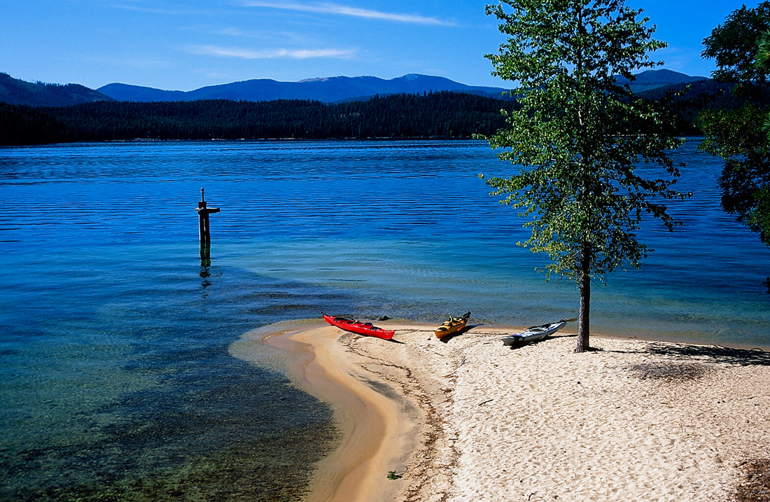
KALISPELL BAY LAUNCH
PADDLE DISTANCE: varies
ELEVATION: 2439’
LENGTH AND ACREAGE: 19 miles long and 26,000 acres
MAPS: IPNF, Outlet Bay, Coolin, Priest Lake SW Topo
LAUNCH GPS: 48°44’32” N. 116°50’00” W
ELEVATION: 2439’
LENGTH AND ACREAGE: 19 miles long and 26,000 acres
MAPS: IPNF, Outlet Bay, Coolin, Priest Lake SW Topo
LAUNCH GPS: 48°44’32” N. 116°50’00” W
DESCRIPTION:
Priest Lake has been described as the “GEM” of Idaho. After your first visit, you will agree. The lower lake is inhabited by thousands of people in the summer, and a virtual desert in the winter. The lower lake is 369’ deep. There are four islands on the lake, with one that is public, with 11 designated camp sites, and a few pit toilets scattered among them. PLEASE USE THE PIT TOILETS WHEN YOU NEED TO DO YOUR BUSINESS. WE ALL WILL APPRECIATE IT.
Kalispell Island Trail #49 is 2.5 miles long, and circumnavigated the island. On the SW side of the island is a host Kalispell Island Group Site is located on the southeast side of Kalispell Island on Priest Lake. The rustic campsite is part of the Three Pines camping area at site #29. The island, reached only by boat, faces the beautiful Selkirk Mountains.Other Camping:
Natural Features: Kalispell Island is one of seven islands scattered throughout Priest Lake. Kalispell is the largest of these islands, spanning 264 acres, and is shaped like a tooth. Priest Lake, at a 2,400 foot elevation, is one of the top three largest lakes in Idaho. To the north, the lake connects to the Upper Priest Lake, divided by a narrow channel, which can be passed through by boat.
Kalispell Island Trail #49 is 2.5 miles long, and circumnavigated the island. On the SW side of the island is a host Kalispell Island Group Site is located on the southeast side of Kalispell Island on Priest Lake. The rustic campsite is part of the Three Pines camping area at site #29. The island, reached only by boat, faces the beautiful Selkirk Mountains.Other Camping:
- West Shores - 7 camp units, west side of island (vault toilet).
- Peninsula - 2 camp units, south west side of island (portable toilet required).
- Schneider - 5 camp units, south west end of island (vault toilet).
- Silver - 8 camp units, south end of island (vault toilet).
- Silver Cove - 3 camp units, south end of island (vault toilet).
- Selkirk - 2 camp units, south east side of island (portable toilet required).
- Three Pines - 7 camp units, south east side of island (vault toilet).
- Cottonwood - 1 camp units, east (middle) of island (portable toilet required).
- Rocky Point - 9 camp units, north east end of island (vault toilet).
- North Cove - 5 camp units, north east end of island (vault toilet).
- Shady - 1 camp unit, north end of island (portable toilet required).
- Kalispell Vista - 2 camp units, west side of island (portable toilet required).
Natural Features: Kalispell Island is one of seven islands scattered throughout Priest Lake. Kalispell is the largest of these islands, spanning 264 acres, and is shaped like a tooth. Priest Lake, at a 2,400 foot elevation, is one of the top three largest lakes in Idaho. To the north, the lake connects to the Upper Priest Lake, divided by a narrow channel, which can be passed through by boat.
ATTRACTIONS
Quiet island camping, great views of the Selkirks, pristine lake, isolated camp sites.
DIRECTIONS:
To access the Kalispell Bay Boat Launch, travel on Highway 57 for 31 miles to Kalispell Bay Road. Turn east (right) until you reach West Lakeshore Road. Then head south .5 miles to the boat launch.
COOL THINGS CLOSE BY:
The American Selkirks, Hunt Creek Falls, Indian Creek Camp Grounds, and the Priest Lake State Park
R & P:
Burger Express


