SWEET CREEK FALLS, IONE, WASHINGTON
WATERFALL : Sweet Creek Falls
DROP: About 30'
WATERFALL TYPE: Cascade to a bowl plunge
DISTANCE CAR TO FALLS: .5 miles
MAPS: Colville N.F., Sullivan Lake Ranger District 509.447.7300
GPS: 48°49’46” N 117°23’84” W
DROP: About 30'
WATERFALL TYPE: Cascade to a bowl plunge
DISTANCE CAR TO FALLS: .5 miles
MAPS: Colville N.F., Sullivan Lake Ranger District 509.447.7300
GPS: 48°49’46” N 117°23’84” W
DESCRIPTION:
As you drive up to Boundary Dam, Pewee Falls, Metaline Falls, stop by the Sweet Creek Rest Area.
At the rest stop, the trail is a paved and ADA accessible to the Sweet Creek Falls. Its only .5 miles and you will not regret the time spent to see it.
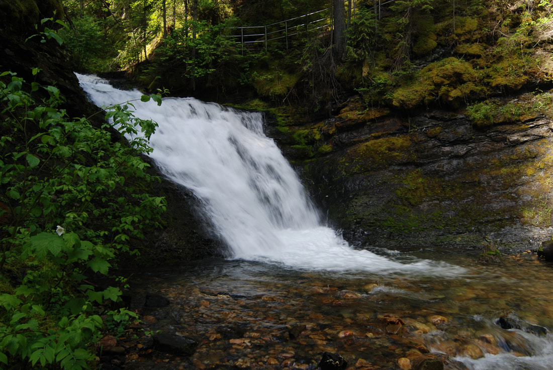
The actual falls cascades down a gentle slope, before it plunges off the rim. At the bottom, the falls is a large bowl that the creek circles and falls into.
OPTION #1
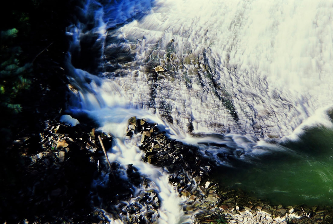
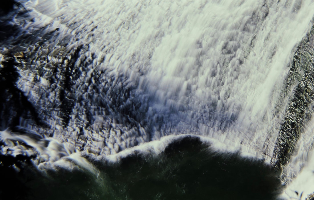
On your way up to the falls, notice a path above the creek. This path will take you up to an incredible view of the bowl from above.
DIRECTIONS:
From Newport, WA., head north on Hwy 20 to Tiger, WA. At Tiger, turn right (N) up Hwy 31. When you pass the Selkirk High School, in less then 1/2 a mile stop act the Sweet Creek Rest Area. From the rest area is the Sweet Creek Falls Trail. Its a very cool set of falls
COOL THINGS CLOSE BY:
Tiger, Ione, Boundary Dam, Pewee Falls, Gardner Cave at Crawford State Park, Sullivan Lake, Elk Creek Falls, the Columbia River, and the Salmo-Priest Wilderness.
HAZARDS:
ALL WATERFALLS ARE A HAZARD, DUE TO THEIR SLIPPERY NATURE. ALWAYS BE EXTRA CAREFUL NEAR ANY WATERFALL.
The path above the paved trail can be slippery. Please do not go beyond the railing.
The path above the paved trail can be slippery. Please do not go beyond the railing.
R & P:
NA
PLAN YOUR TRIP:
Click for Current NOAA Weather Conditions


