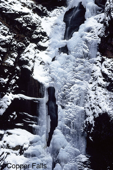
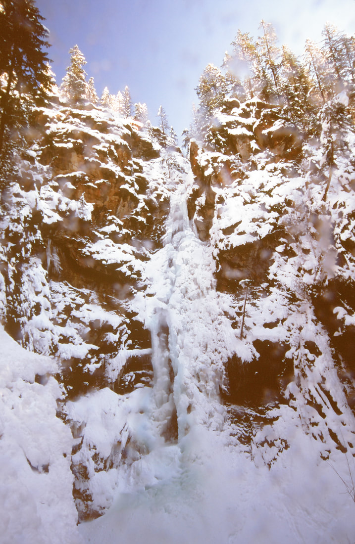
COPPER FALLS
WATERFALL : COPPER FALLS
DROP: 225'
WATERFALL TYPE: TWO TIERS
DISTANCE CAR TO FALLS: ???
MAPS: Kanicsu N.F., Eastport topo Bonner Ranger District 267.5561
GPS: 48°97’20” N 116°14’10” W
DROP: 225'
WATERFALL TYPE: TWO TIERS
DISTANCE CAR TO FALLS: ???
MAPS: Kanicsu N.F., Eastport topo Bonner Ranger District 267.5561
GPS: 48°97’20” N 116°14’10” W
DESCRIPTION:
Copper Falls is a tall falls tucked back in the woods very close to the U.S. Canadian border in N. Idaho.
It is cool visit in any season.
From Hwy 95, turn right SE onto N.F. Road #2517, just past there Moyie River and across from the Northwest Duty Free Store.
Stay on #2517 for 2.5 miles to the marked trailhead.
A sign points the way to the falls.
It is cool visit in any season.
From Hwy 95, turn right SE onto N.F. Road #2517, just past there Moyie River and across from the Northwest Duty Free Store.
Stay on #2517 for 2.5 miles to the marked trailhead.
A sign points the way to the falls.
OPTION #1:
Along the trail to the falls is a loop trail of about 1.4 miles, that takes you up the left (W) side to an observation deck.
After you have visited the falls, do the loop for additional views.
After you have visited the falls, do the loop for additional views.
DIRECTIONS:
Drive north on Hwy 95 to the Northwest But Free Store, and turn right (SE). Th Duty Free Store is about >74 miles from the U.S. Canadian border.
COOL THINGS CLOSE BY:
Robinson Lake & Campground, the Good Grief Tavern, Snyder Guard Station Historical District., the Moyie Springs Waterfall and of course the American Selkirks which has Myrtle Falls and the U. & L. Snow Creek Falls, and the Kootenai National Wildlife Refuge.
HAZARDS:
ALL WATERFALLS ARE A HAZARD, DUE TO THEIR SLIPPERY NATURE. ALWAYS BE EXTRA CAREFUL NEAR ANY WATERFALL.
R & P:
Good Grief Tavern, Jalapenos and Eicharts in Sandpoint
PLAN YOUR TRIP:
Click for Current NOAA Weather Conditions


