KOOTENAI NATIONAL WILDLIFE REFUGE
EVENT TYPE: Hiking, auto tour, bird and animal viewing,
DISTANCE: Longest trail is 2.2 miles. Auto Tour is a 4.5 mile drive with pullouts.
ELEVATION:Level 1787’ base elevation
DIFFICULTY: All routes are easy
MAPS: Stop by the refuge headquarters for a brochure, viewing guide and restrooms.
GPS: 48°42’25”N 116°24’54”W
RANGER DISTRICT: Bonners Ferry R.D. 208.267.5561
BOUNDARY COUNTY SHERIFF: CALL 911 FIRST or 208.267.3151
DESCRIPTION:
WE HAVE ADDED THE AREAS SHERIFF’S EMERGENCY PHONE NUMBERS FOR EACH TRIP WRITE UP UNDER THE RANGER DISTRICT INFO. IF AN EMERGENCY OCURRS, EVALUATE YOUR CIRCUMSTANCES AND CALL ONLY IF NEEDED.
The Kootenai National Wildlife Refuge was established in 1964, and contains 2775 acres.
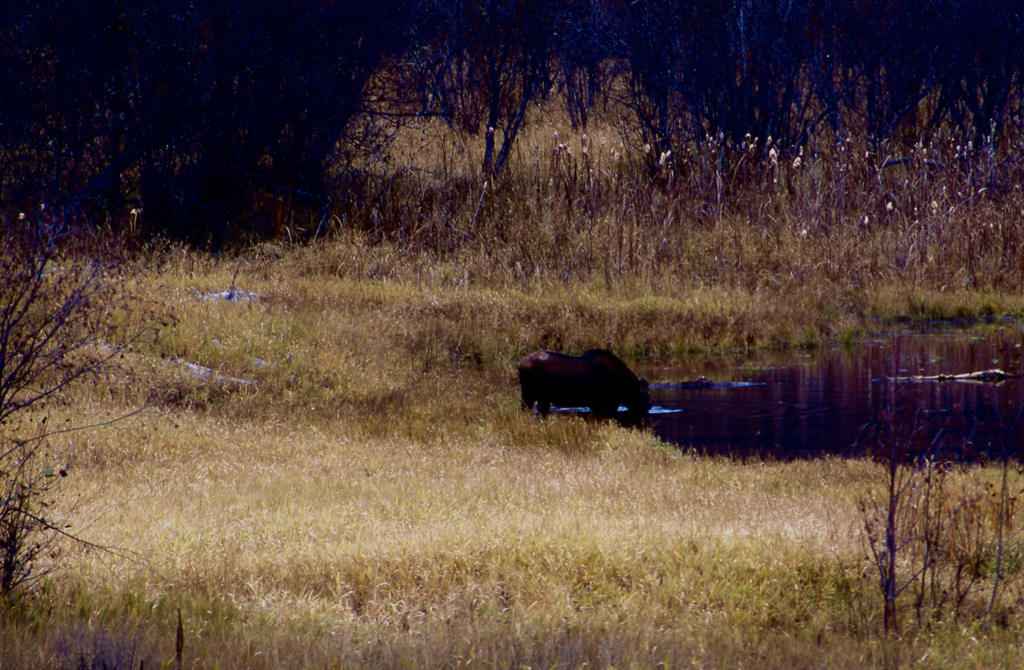
There are over 300 species of vertebrate animals that stop over throughout the year. Stop by the headquarters and pick up a free brochure that outlines which species are around for the time you are visiting the refuge. There are over 220 species of migratory birds. Moose, deer, elk, otter, and Bald Eagles are regulars at the refuge.
Within the refuge are 5 hiking trails, the longest is 2.2 miles, one of which is a 1/4 mile trail to Myrtle Falls.
At the headquarters are restrooms
OPTION #1:
The Deep Creek Trail is 2.2 miles and starts on the SW corner along Riverside Road, and skirts Deep Creek, to Frontage Road 417, and back.
OPTION #2:
The Island Pond Trail starts on Frontage Road 417, and circles Island Pond for 1.5 miles.
OPTION #3:
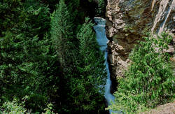
The Myrtle Falls Trail is across from the headquarters to the west. It has its own parking area. The hike to the Myrtle Falls Overlook is only .9 of a mile along Myrtle Creek. A steel bridge crosses the creek as it gently ascends to the overlook, via several switchbacks. Along the way, be sure to admire Myrtle Creek. It can be followed north along Frontage Road 417 to the bridge at the north end of the headquarters, near the Auto Tour Road.
The Myrtle Creek is spectacular in the winter. Don't miss it.
THERE IS A HAZARD HERE YOU MUST PAY ATTENTION TO. AT THE FALLS OVERLOOK IS AN UNPROTECTED VIEWING AREA. PLEASE WATCH YOUR CHILDREN VERY CAREFULLY HERE.
The Myrtle Creek is spectacular in the winter. Don't miss it.
THERE IS A HAZARD HERE YOU MUST PAY ATTENTION TO. AT THE FALLS OVERLOOK IS AN UNPROTECTED VIEWING AREA. PLEASE WATCH YOUR CHILDREN VERY CAREFULLY HERE.
OPTION #4 |
|
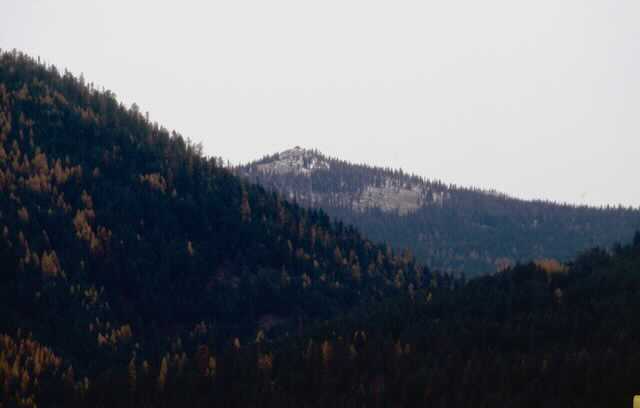
The Auto Tour starts just north of the refuge headquarters parking area. This car tour is 4.5 miles long and circles the main body of the refuge. Along the way are viewing points and restrooms. While on the east side of the tour, near the restroom, look up and west. High above the refuge is Burton Peak. An abandon USFS lookout cabin sits on the east point of the Cascade Ridge.
Please don’t hurry on this tour. The slower you go, the higher the odds of seeing wildlife, and enjoying the refuge ponds.
Please don’t hurry on this tour. The slower you go, the higher the odds of seeing wildlife, and enjoying the refuge ponds.
DIRECTIONS:
Drive thru Bonners Ferry to the old section of the city. Just before the Kootenai River Bridge, turn left onto Riverside Road, and head west for about 4.7 miles to a slow right onto Frontage Road 417. The headquarters are about .3 of a mile on your right.
HAZARDS:
AS STATED ABOVE IN OPTION#3, BE VERY CAREFUL WITH YOUR CHILDREN AT THE FALLS OVERLOOK.
COOL THINGS CLOSE BY:
Burton Peak, Myrtle Peak & Lake, Pyramid Lakes & Peak, Long Mountain Lake & Peak, Roman Nose Lakes & Peak with Upper & Lower Snow Creek Falls, ( don’t miss these falls.) They are less then 3/8 of a mile on a great trail), Trout Lake & Peak, with Big Fisher Lake beyond, 2 Mouth Lakes, and the MIghty Kootenai River.
R & P:
Jalapeños, Eichardt’s, Burger Express, and Mr. Sub in Sandpoint.
PHOTO GALLERY
TO READ MORE ABOUT THE PURCELL TRENCH, THE AMERICAN SELKIRKS, AND THE CABINET MOUNTAIN WILDERNESS,
DOUBLE CLICK ON THE REGIONS NAME IN THE DROP DOWN MENU.
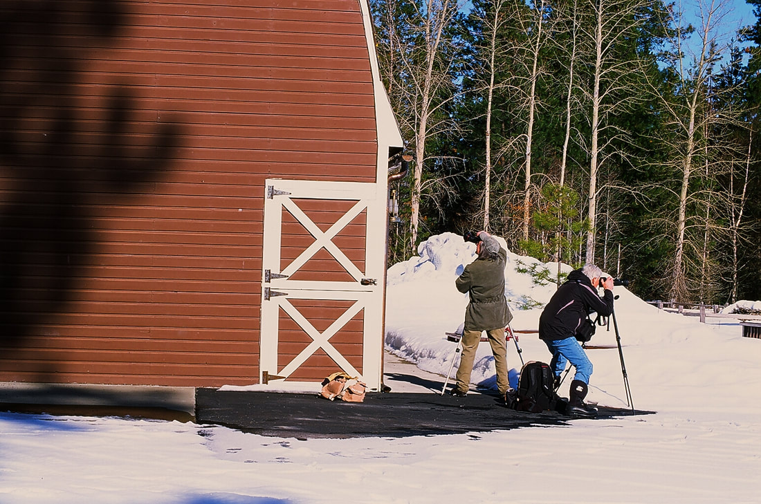
TWO PHOTOG FRIENDS TRYING TO GET A GOOD IMAGE
NEXT TO THE MEETING ROOM BARN
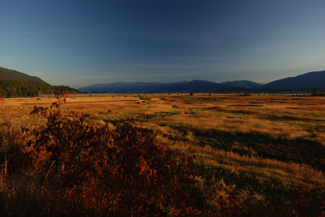
THIS IS AN IMAGE LOOKING EAST INTO THE PURCELL TRENCH
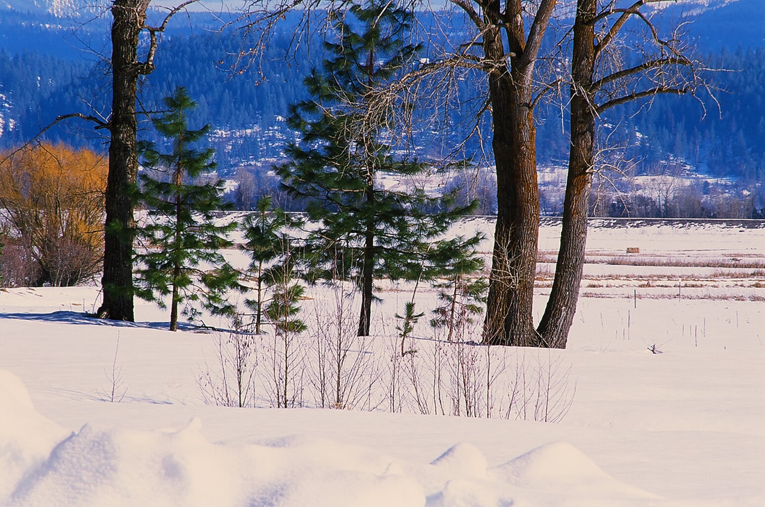
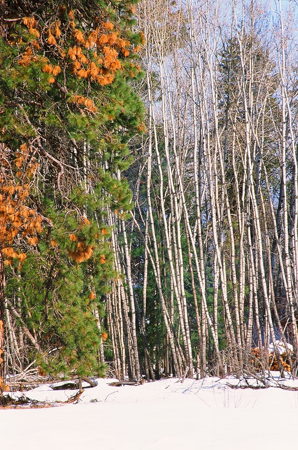
ASPENS NEAR THE "AUTO TOUR ROUTE"
THE KOOTENAI NATIONAL WILDLIFE REFUGE FROM ROAD #18, SOUTH SIDE
THE KOOTENAI NATIONAL WILDLIFE REFUGE FROM THE MYRTLE LAKE ROAD
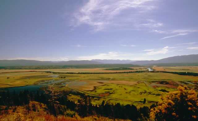
THE KOOTENAI NATIONAL WILDLIFE REFUGE FROM THE BURTON PEAK ROAD
THIS IMAGE SHOWS THE "AUTO TOUR ROAD" ON THE OUTSIDE OF CHANNEL.
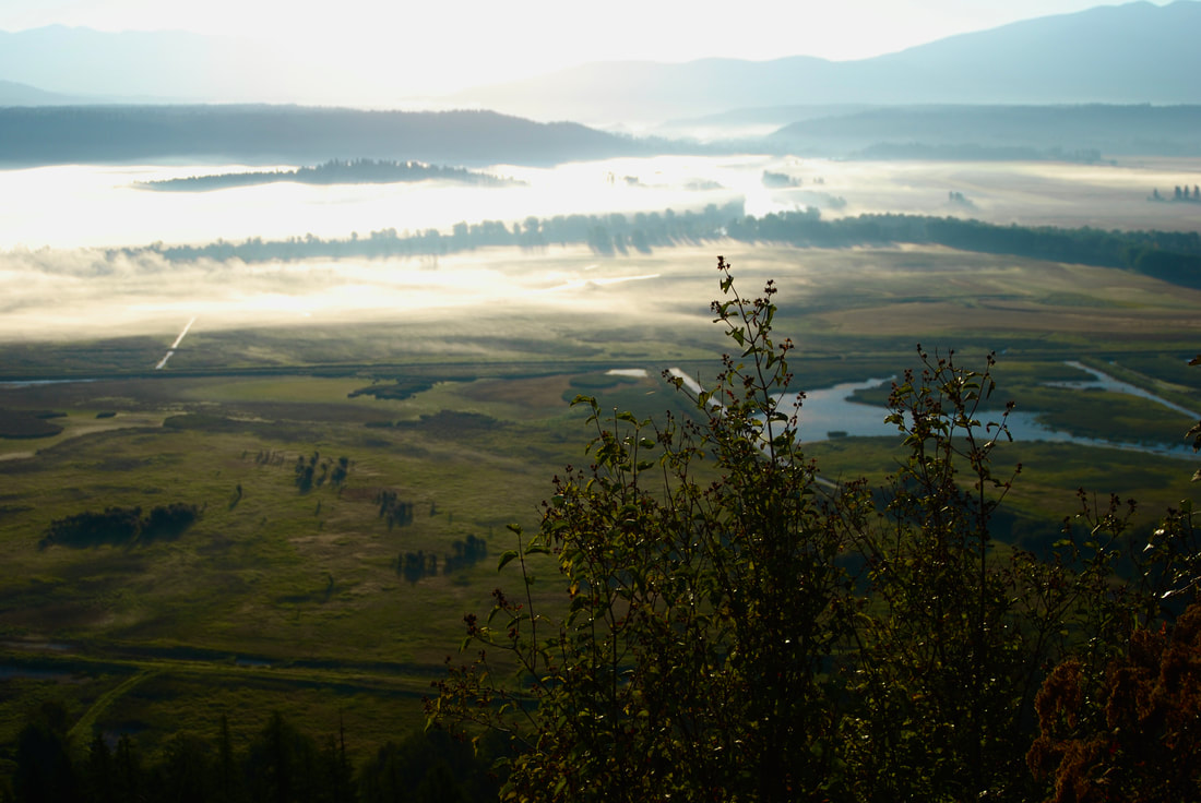
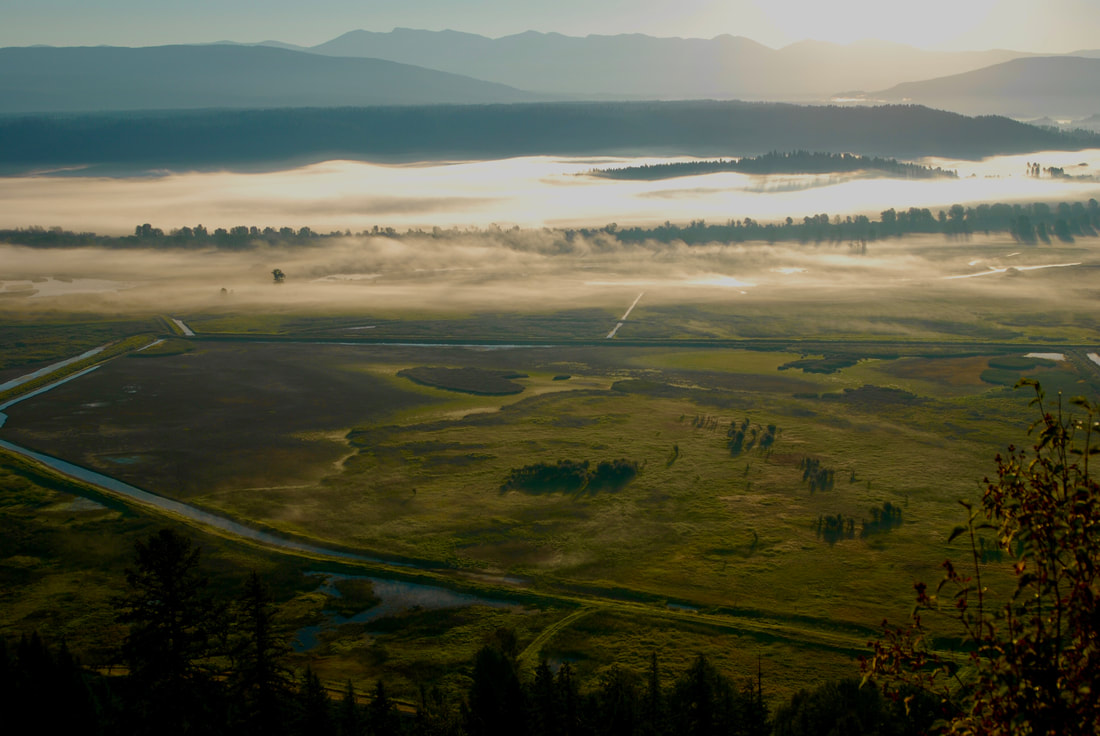
EARLY MORNING FOG ON THE PURCELL TRENCH
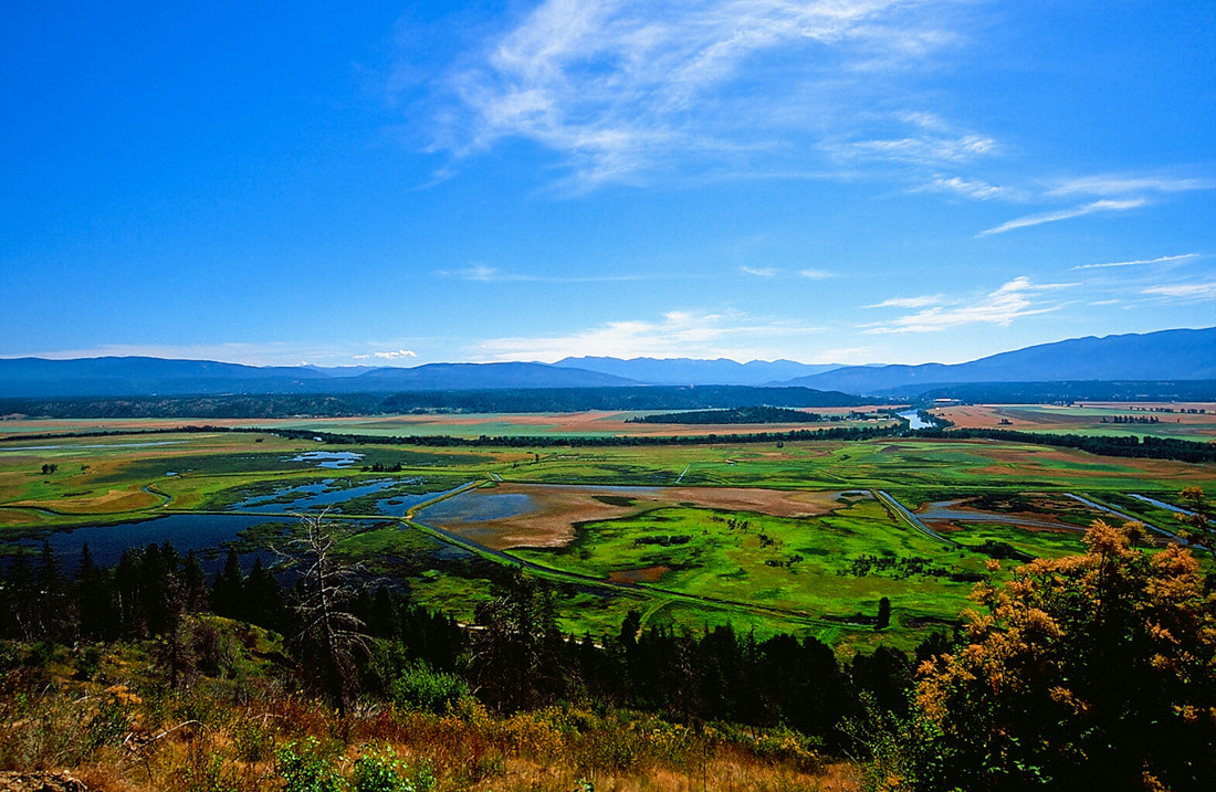
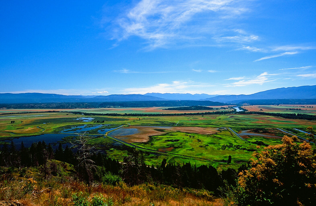
THE KOOTENAI NATIONAL WILDLIFE REFUGE IN THE SUMMER
A MOOSE FROM ALONG THE AUTO TOUR DRIVE
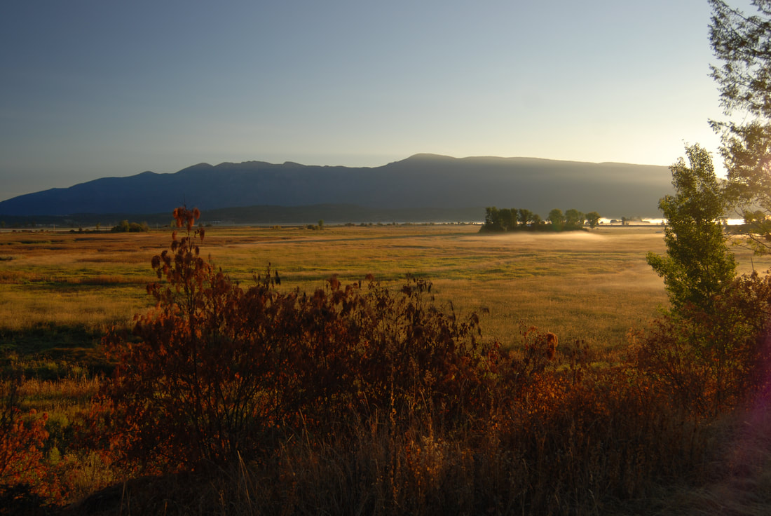
A NORTHERN SECTION OF THE KOOTENAI NATIONAL WILDLIFE REFUGE
