EVENT TYPE: Day hiking, backpacking, mt biking, equestrian, and photography DISTANCE: varies ELEVATION: 161 Verts DIFFICULTY: easy MAPS: IPNF, Burke & Bloom Peak topos GPS: 47°45’17” N 115°49’48” W RANGER DISTRICT: CDA River R.D. 208.769.3000 SHOSHONE COUNTY SHERIFF: CALL 911 FIRST or 208.556.1114
DESCRIPTION:
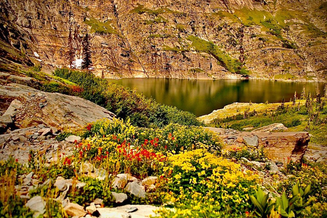
WE HAVE ADDED THE AREAS SHERIFF’S EMERGENCY PHONE NUMBERS FOR EACH TRIP WRITE UP UNDER THE RANGER DISTRICT INFO. IF AN EMERGENCY OCURRS, EVALUATE YOUR CIRCUMSTANCES AND CALL ONLY IF NEEDED. One of the cool things about Bloom Peak, is that you can drive to within 161 verts of the summit. Bloom Peak is located along a long ridge that is also the Montana-Idaho border. The views in all directions are worth the drive. Bloom Peak sits on the on the Idaho Montana border east of the Devil’s Elbow camp on the N. Fork CDA River. Other cool things about Bloom Peak are, the long ridge line hikes both north and south one can hike, with unobstructed views. The views of the Cabinet Mountain Wilderness are to the north east, are very impressive. Bloom Peak can be accessed from the upper reaches of the Settlers Grove of Ancient Cedar Trail #162. Just off to the east, is Nintythree Mile Lake for water. (The numerical names indicate how far down the border they are from Canada.
This ridge was burned off decades ago, and the burnt stumps offer some great foregrounds for images. Be aware, because you can drive here, so can ORVs and motorcycles.
Both north and south, there are several trail leading off into Montana and Idaho to explore
OPTION #1:
Heading north on the State Line Ridge is Lost Peak 6250’, Eightyseven Mile Peak 5617’, Porcupine Pass 5617’, Bottoe Peak 6305’, and Twin Peaks, Eighty Mile Peak & Idaho Peak 6506’.
OPTION #2:
To the south is Black Peak 6546’,
DIRECTIONS:
Drive east on I-90 to the Kingston exit and turn left (north) over the freeway, up the CDA River, past Pritchard to just past the Avery Creek Picnic area. Less then .5 miles, turn onto Lost Creek Road #442. Continue on 442 to the Taylor Saddle, and turn right (east) onto F.R #430 to Bloom Peak.
COOL THINGS CLOSE BY:
Little Guard Lookout, Shadow, Fern and Centennial Falls, Settler Grove of Ancient Cedars, Revett Lake, and U. & L. Blossom Lakes,
HAZARDS:
There may be motorcycles and ORVs on the road and ridge line
R & P:
The Snake Pit, and in Kingston is the Kingston Hilltop Bar & Grill