BANKS LAKE 1,571’
PADDLE DISTANCE: varies
ELEVATION: 1571’
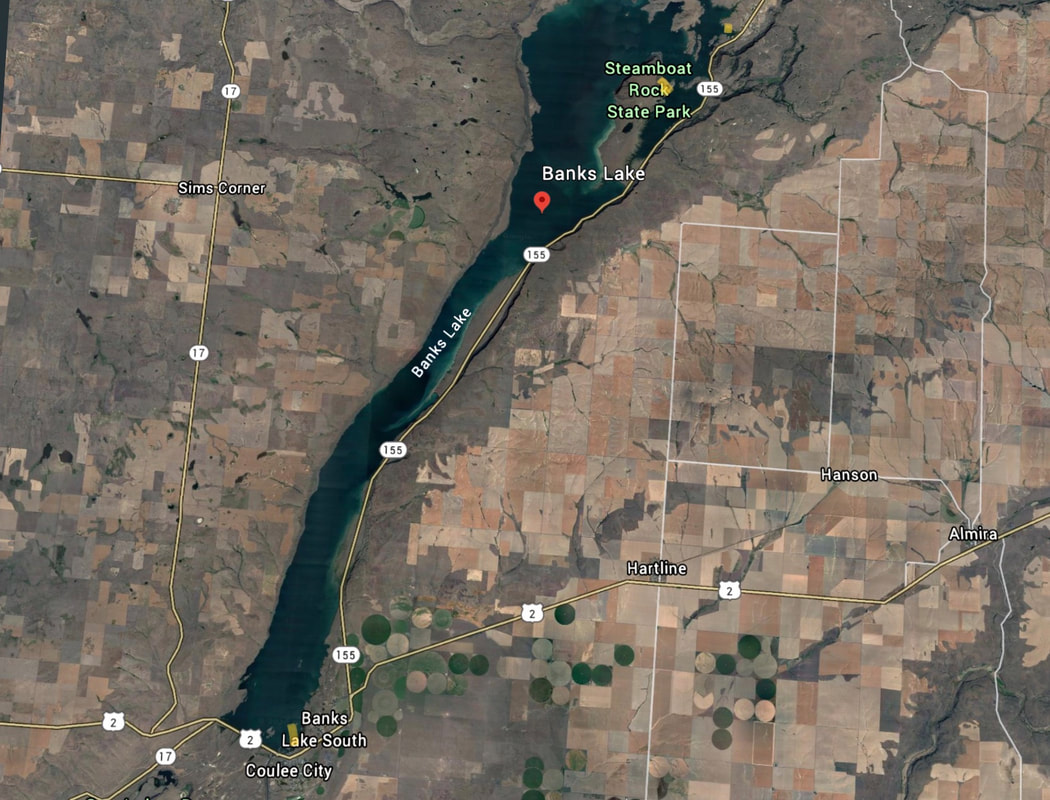
LENGTH & ACREAGE: 26.7 miles long & 26,890 acres
MAPS: Steamboat Rock SW
GPS: 47°52’2” N 119°05’ 54” W
BRANT COUNTY SHERIFF: 509.754.2011
ELEVATION: 1571’
LENGTH & ACREAGE: 26.7 miles long & 26,890 acres
MAPS: Steamboat Rock SW
GPS: 47°52’2” N 119°05’ 54” W
BRANT COUNTY SHERIFF: 509.754.2011
DESCRIPTION:
WE HAVE ADDED THE AREAS SHERIFF’S EMERGENCY PHONE NUMBERS FOR EACH TRIP WRITE UP UNDER THE RANGER DISTRICT INFO. IF AN EMERGENCY OCURRS, EVALUATE YOUR CIRCUMSTANCES AND CALL ONLY IF NEEDED.
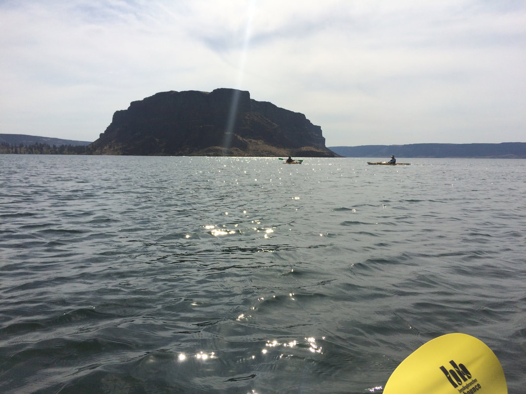
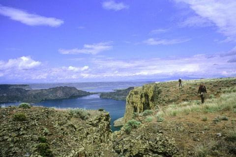
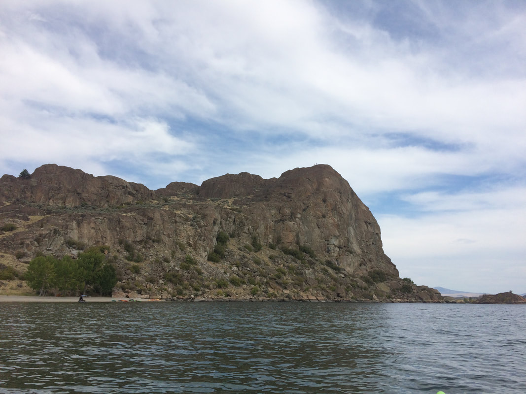
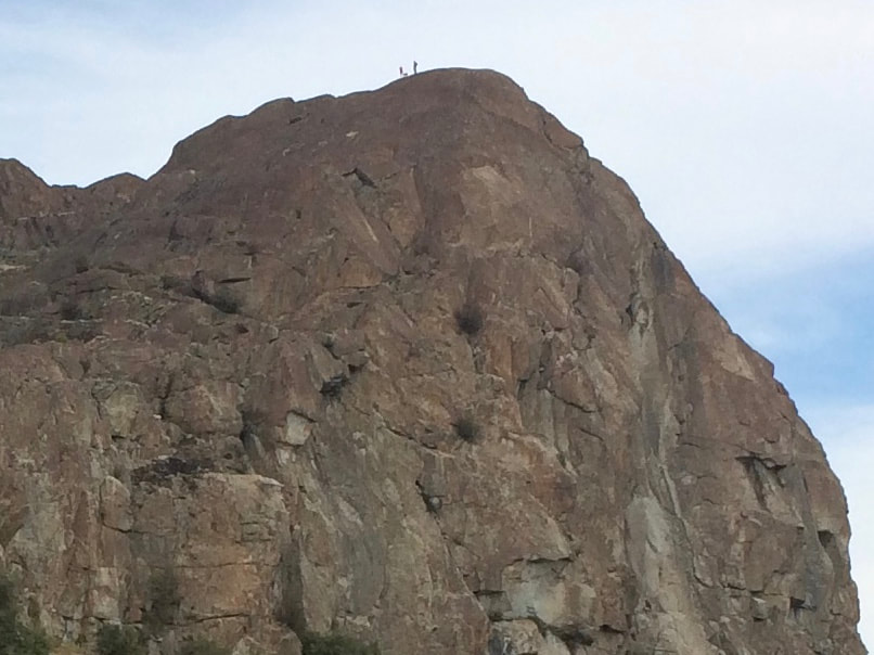
You can launch your boats at one of two boat launches: Northrop Point or Steamboat Rock S. P. Paddle north from there 2.5 miles to a sandy beach with shade trees and eat lunch there. There is an obvious trail to the top of a big granitic rock that has commanding views in all directions. After the hike we paddled around the different rocks and inlets on the east side of the lake. Nearby camping options are Steamboat Rock S. P. or Jones Bay C. G.
You can launch your boats at one of two boat launches: Northrop Point or Steamboat Rock S. P. Paddle north from there 2.5 miles to a sandy beach with shade trees and eat lunch there. There is an obvious trail to the top of a big granitic rock that has commanding views in all directions. After the hike we paddled around the different rocks and inlets on the east side of the lake. Nearby camping options are Steamboat Rock S. P. or Jones Bay C. G.
DIRECTIONS:
Take WA-2 west about 60 miles. Just past the town of Wilbur turn right onto WA-21N/WA-174/Republic. After a quarter mile or so stay left on WA-174 for 20 miles until you get to Grand Coulee. Turn left onto WA-155 for 10 miles. You will pass the Jones Bay CG. and Northrop Point boat launch just before you get to Steamboat Rock S. P. Turn right into the park and it is about two miles to the boat launch on the east end of the park. A Discovery Pass is required.
OR
Drive Hwy 2 due west until you get to Hwy 55. Turn right (north) up Hwy 55 to the Steamboat Rock State Park.
OR
Drive Hwy 2 due west until you get to Hwy 55. Turn right (north) up Hwy 55 to the Steamboat Rock State Park.
OPTION #1:
Hike one of the several other granitic knobs on the east side of the lake.
OPTION #2:
Hike Steamboat Rock
OPTION #3:
Hike Northrop Canyon
COOL THINGS CLOSE BY:
Grand Coulee Dam and the laser light show. Just north of Steamboat Rock, are nice vertical walls to climb right out of your boat among the many small islands.
Grand Coulee Dam, Sun Lakes S.P., Dry Falls, Steamboat Rock, Summer Falls, Northrup Canyon.
Great rock climbing at Northrup Canyon and Highway Rock with 70 routes on its 300 foot tall prominence.
Grand Coulee Dam, Sun Lakes S.P., Dry Falls, Steamboat Rock, Summer Falls, Northrup Canyon.
Great rock climbing at Northrup Canyon and Highway Rock with 70 routes on its 300 foot tall prominence.
HAZARDS:
This is sage brush country so there are rattlesnakes. Wear boots and snake gaiters if you have them and keep dogs on a leash.
R & P:
NA
