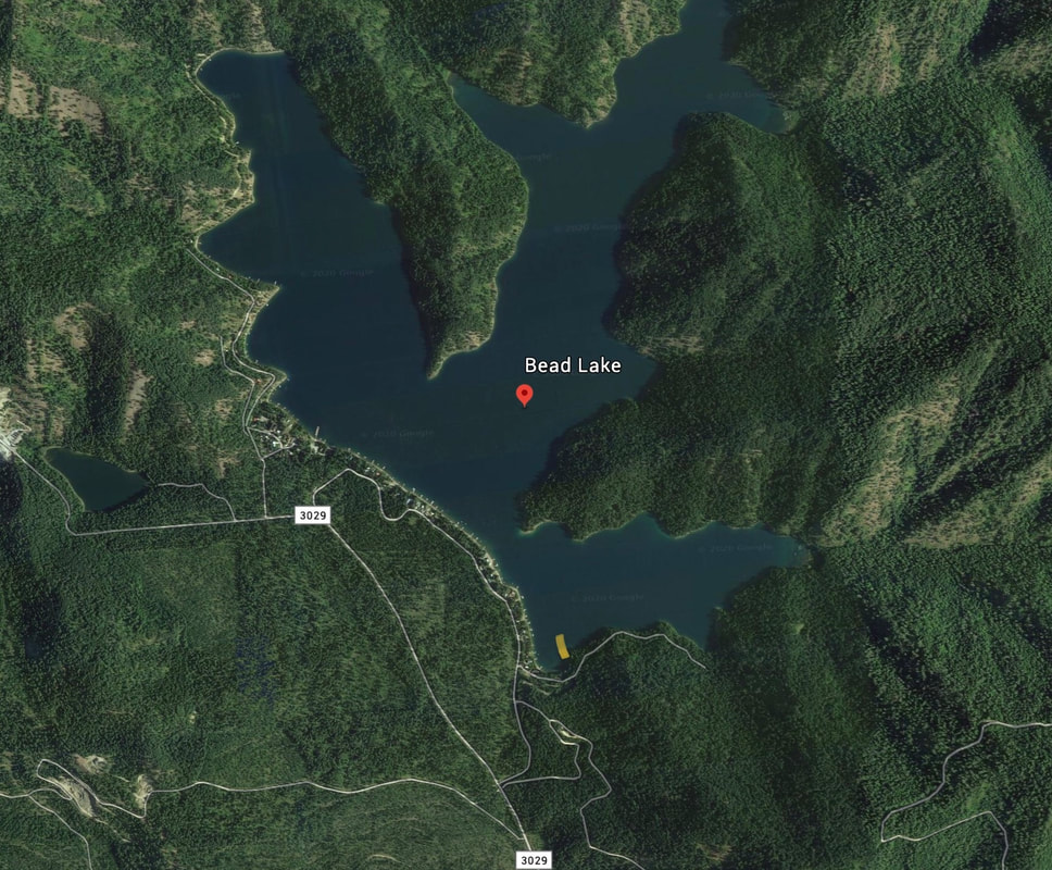
BEAD LAKE LAUNCH
PADDLE DISTANCE: 9 miles around the lake
LAKE ELEVATION: 2833’
LENGTH & ACREAGE : about 9 miles around and 720 acres
MAPS: W.D.F. & G.,
LAUNCH GPS: 48°17’53” N 117°07’25” W
PEND ORIELLE COUNTY SHERIFF: 509.447.3151
DESCRIPTION:
WE HAVE ADDED THE AREAS SHERIFF’S EMERGENCY PHONE NUMBERS FOR EACH TRIP WRITE UP UNDER THE RANGER DISTRICT INFO. IF AN EMERGENCY OCURRS, EVALUATE YOUR CIRCUMSTANCES AND CALL ONLY IF NEEDED.
Located in the Colville National Forest, enjoy paddling and fishing for kokanee and trout. Amenities:FS boat launch.
Bead Lake is the largest lake in Pend Orielle County at 720 acres.
The lake has four dispersed campsites located along the lakeshore which are accessed by either boat or hiking trail. One hundred (100) feet NO WAKE zone along lakeshore. All watercraft needs to be cleaned before launching to prevent the spread of invasive species.
DIRECTIONS:
Turn east onto US-2 E/Walnut St, contunue to follow US-2 E for 1/2 mile. Turn left onto Le Clerc Rd continue on Le Clerc Rd for 2.7 miles. Turn right onto Bead Lake Rd contuine on Bead Lake Rd for 7.5 miles.
Click for Goggle Maps driving directions: goo.gl/maps/EechMppboixAYxaw8
Click for Goggle Maps driving directions: goo.gl/maps/EechMppboixAYxaw8
RED TAPE:
HAZARDS:
Non to mention, but always watch for winds
PADDLES CLOSE BY:
Marshall Lake, Pend Orielle River, Diamond Lake,
R & P:
NA


