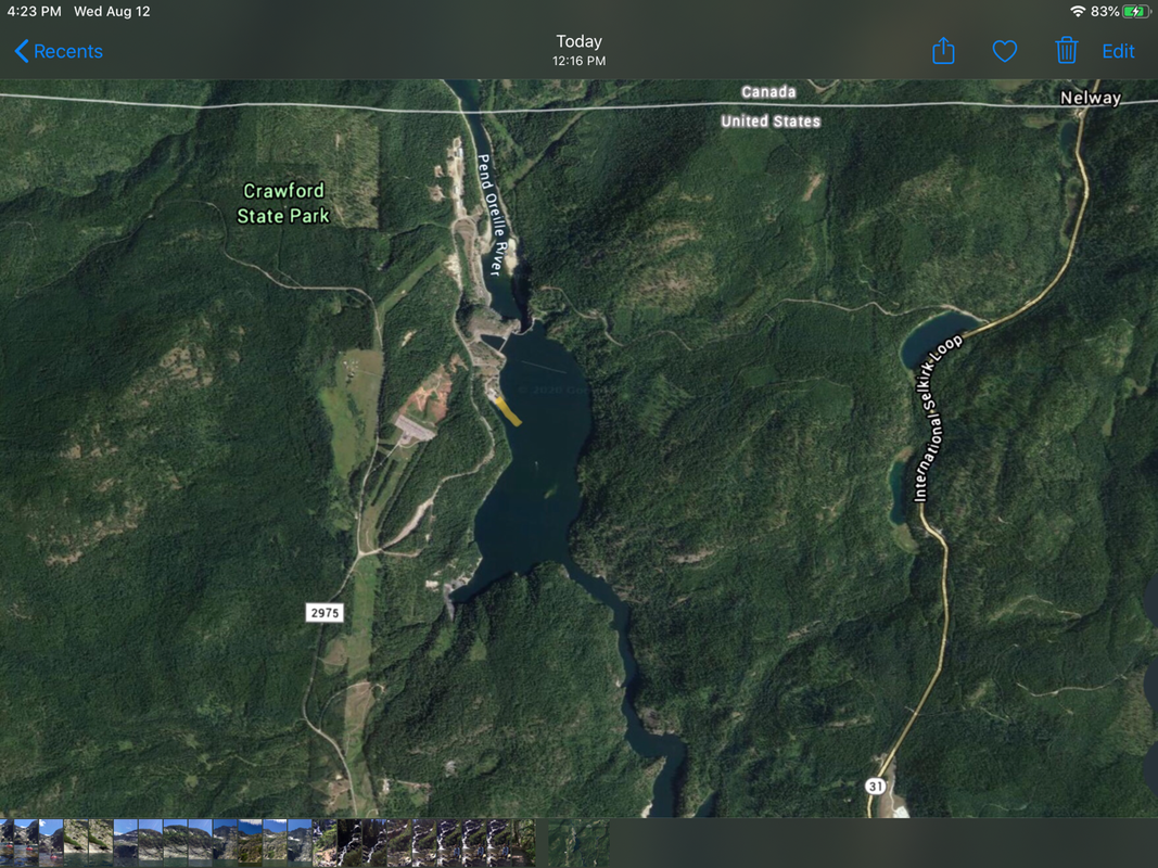
BOUNDARY DAM/PEWEE FALLS LAUNCH
PADDLE DISTANCE: about 13 miles to Box Canyon Dam
ELEVATION: 1990’
LENGTH AND ACREAGE: about 12 miles to Box Canyon Dam. 65 miles to Albeni Dam, and 92 miles to the Long Bridge at Sandpoint
MAPS: BLM, Metaline, Metaline Falls, Boundary Dam topos, and the Colville National Forest.
LAUNCH GPS: 48°58’58” N 117°21’02” W
BOUNDARY COUNTY SHERIFF: 208.267.3151
DESCRIPTION:
Some people go to Moab, Utah to experience world class mountain hiking. Or to Whistler-Blackcomb for world class skiing.
Boundary Dam to Box Canyon Dam, is the world class flat water paddle site.
Seattle Power and Lights owns the dams and produces power for Seattle.
They provide a free camp grounds on site, with a launch and swimming beach.
When you put in, paddle to Ratt Island first. The cool thing about Ratt Island, is that in the early morning hours, most of the island is under water.
After a days paddle up stream, when you return to the island, more of its shore line is above the water line.
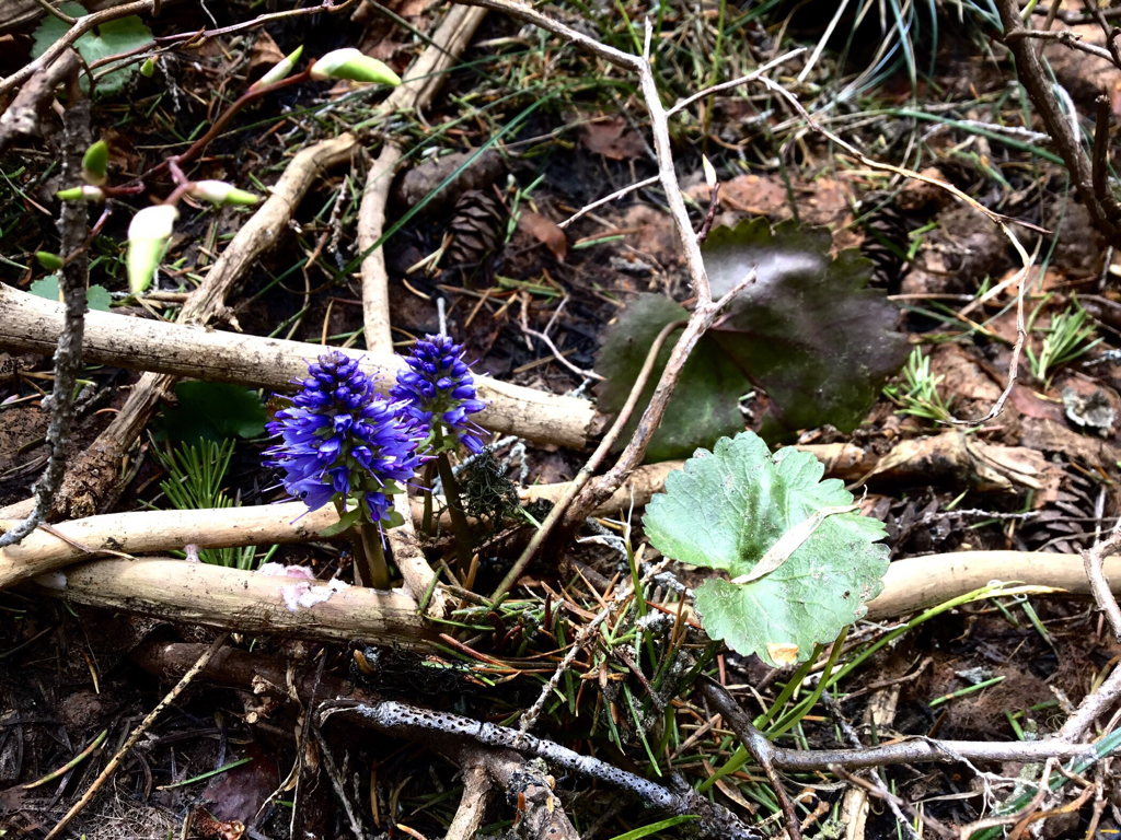
Box Canyon Dam, opens the flood gates to fill the pool between the dams after a day of producing electricity. Hence, some of the wildflowers on the island are under the water in the AM. When you return in the afternoon, the water has dropped.
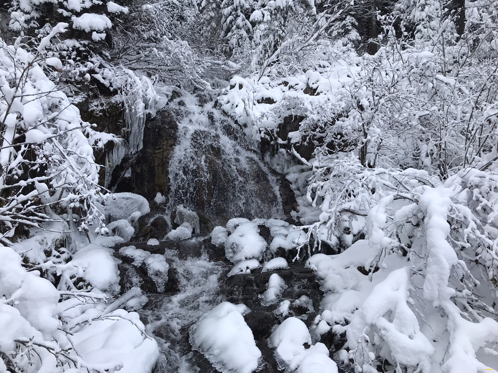
As you circle the island, a bright sheet of white catches your eye. Off in the distance, about .5 miles, tucked into a bay, falls Pewee Falls.
Pewee Falls drops an impressive 200 feet right into the river in front of you. In the afternoon, when the pool is low, a circular mound of rocks create a plunglepool. Off to the NE of the falls, is a very small beach to photograph Pewee from.
After you have enjoyed this wonder, paddle upstream for more unusual riverside sites.
Once out on the main body of the river, the walls rise hundreds of feet out of the water. Along the right bank (west), the cliffs are undercut, and overhang about 10 feet. Remember this spot in case you are near and it’s raining. I’ve rafted up 10 kayaks here. Across the river are two caves to back into. But only during a low pool.
Further up stream, the canyon walls take on a different look. The rocks are lifted, folded, and offer great views while you paddle.
There used to be a natural arch in the rocks to paddle thru, but because jet boats were allowed to do tours here, and the arch has collapsed.
At about 3 miles from the launch there is an Islands (depending on what time of day you are there), to stop for lunch. There are picnic tables along the right (west) shore line. The island can be climbed for overviews of the river.
Continuing south up river at about 8 miles from the launch is the spectacular Twin Falls. On the right is Beaver Falls, while on the left bank is Three Mile Creek Falls. When you get here, pause for a moment in the middle of the river. Position yourself between the sounds of the falls, and enjoy stereophonic waterfalls.
For a great spot to camp, paddle another 2 miles past Twin Falls to a shore line that faces North. This site is down stream from the over the river utility bridge.
BUT BE VERY AWARE. Pull your boats up very high on the shore line. Up next to your tents. As the pool fills, your boats could float away. It happened to me as I led an overnight paddle trip to this camp site. I also would recommend, tying your boats up at night, even tho they are up near your tents. And while we are at it, BE EXTRA CAUTIOUS TO CAMP HIGH OFF THE WATER.
OPTION #1:
You can put in in the town of Metaline, along Hwy 31, and paddle down stream to Boundary Dam, if you leave a car for shuttling.
BE AWARE...JUST AFTER CROSSING BELOW THE HWY 31 BRIDGE TO METALINE FALLS, THERE ISVA WHIRLPOOL THAT CAN BE DANGEROUS.
Years ago, a friend told me about her grandfather, who operated the powerhouse. After they closed the powerhouse, they blasted the structure off the west wall. But the explosion took a huge chunk of the rock wall with it. It created a whirlpool that can be very hazardous. If you do paddle from Metaline, stay on the left side of the river past the bridge. AND PLEASE BE VERY CAREFUL.
ATTRACTIONS
Waterfalls, calm river flow, picturesque rock walls, caves, two islands, and solitude are the main attraction here.
Close by is the Crawford State Park and its Gardner Cave. The state offers guided tours to the bottom at about 125 down, during the summer months.
Boundary Dam offers tours in the summer, and should not be missed.
Along Hwy 31 near Ione, is the Sweet Creek Rest Area and a very cool trail up to Sweet Creek Falls.
Just SE of Boundary Dam is the Sullivan Lake Area. Sullivan Lake offers great hiking along the lake and even better paddling.
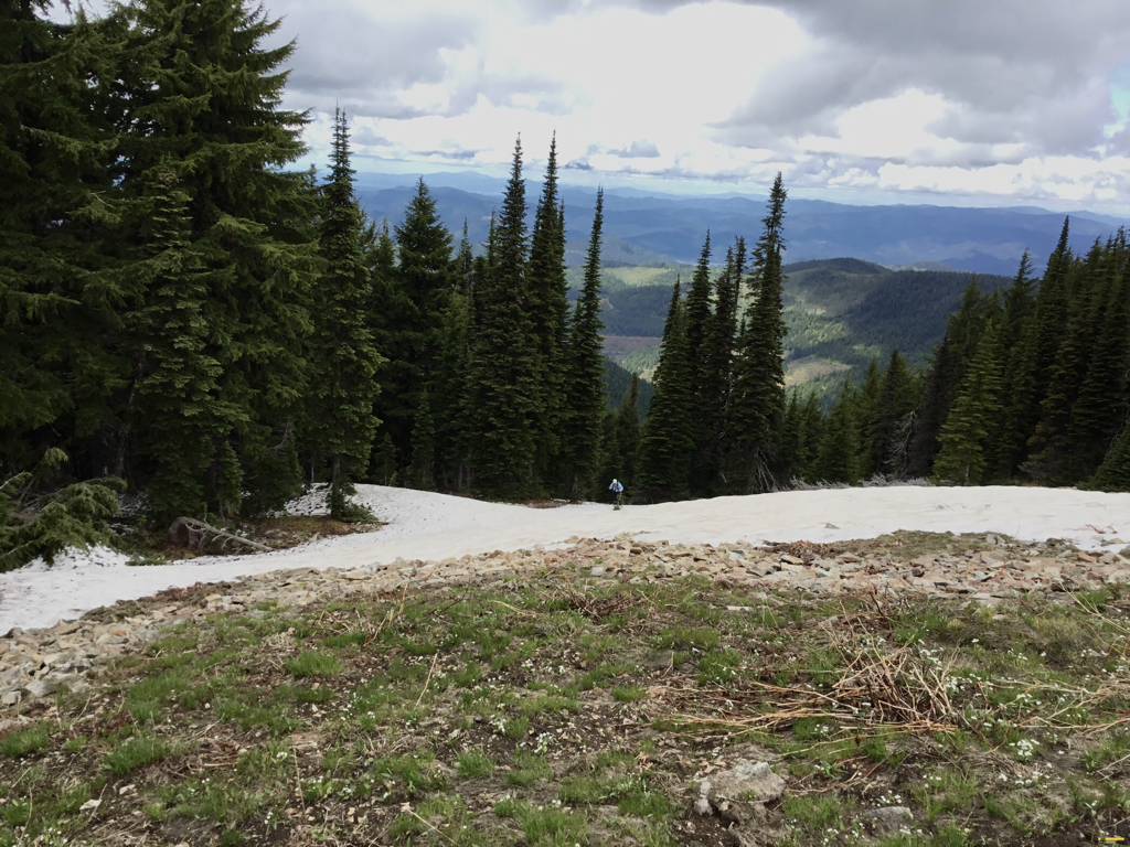
Fir those wanting a hard hike, Hall Mountain stands above Sullivan Lake.
DIRECTIONS:
From Spokane: Drive east on I-90 toward Post Falls to the HWY 41 exit. Take HWY 41 north toward Rathdrum. Turn left at the HWY 41/53 junction then make a right onto N HWY 41. Drive north to Oldtown/Newport. Once in Newport, turn left onto Main Street and follow it out of town to the north. Main Street becomes HWY 20. Stay on HWY 20 for approximately 45 minutes until it becomes HWY 31. Drive through Ione, Wash. and continue on HWY 31. Approximately 10 minutes past Ione and just before Metaline Falls there will be signs showing the turn off for Sweet Creek Falls Rest Area. Turn left off of the highway and park in the rest area parking. Choose one of two major hiking trails, both culminating in a roughly 1 mile hike total.
COOL THINGS CLOSE BY:
Sullivan Lake, Crawford State Park- Gardner Caves, Sweet Creek Falls, Elk FALKS at Sullivan Lake, the Pend Orielle River
R & P:
NA
