WATERFALL : U. & L. Liberty Creek Falls DROP: Both about 30' WATERFALL TYPE: Both are Slide falls DISTANCE CAR TO FALLS: 7 miles loop MAPS: Liberty Lake Regional Park GPS: 47°35’?59” N 117°02’36” W
DESCRIPTION:
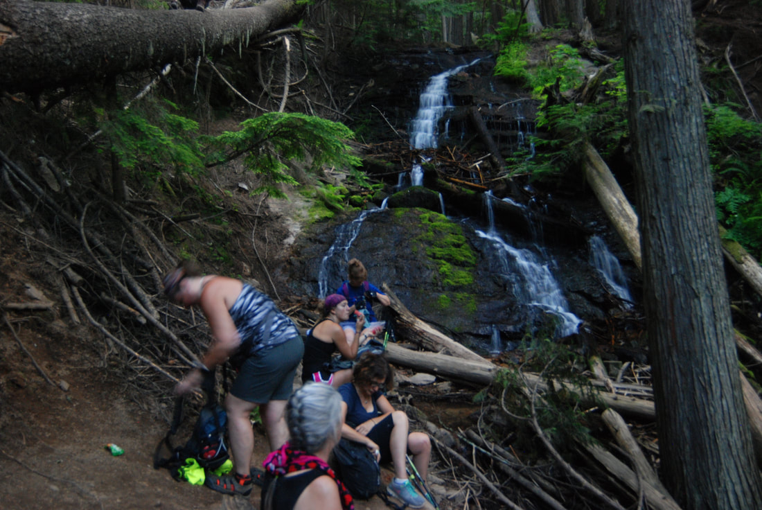
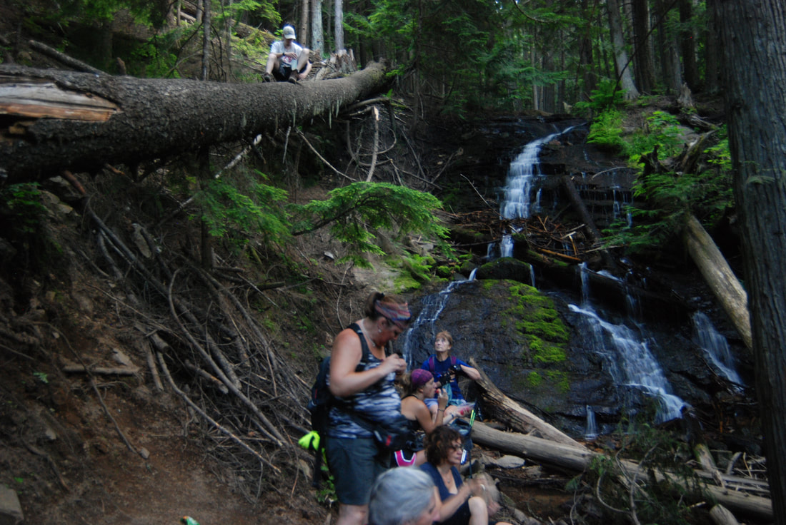
Liberty Creek Falls is located within the Liberty Lake Regional Park south of Liberty Lake. Wa. The park offers several hikes, and is a connection point to the Mica Peak area. From the parking area, hike the Liberty Lake Loop Trail to the Cedar Grove Conservation Area. The trail crosses the creek on an old log bridge, and heads steeply up several switchbacks to a view point overlooking Liberty Lake at a switchback. Continue along the loop trail to the falls. Keep in mind that the falls dry up a bit later in the season.
OPTION #1:
If you continue up the loop trail passed the lower falls, for about .3 miles, is the upper waterfall on the same creek.
OPTION #2:
By continuing on the loop trail, you will come to the Camp Hughes Cabin. A bit further along the loop trail, it circles around and takes you back towards the parking area. This loop trail is not to be missed.
OPTION #3:
You can do this loop trail backwards, but please pick up a park maps to help you navigate the loop. And keep in mind, this trail is open to horses and mountain bikes. If you feel unsure of your location, do not hesitate to ask other trail users.
DIRECTIONS:
From the Albertsons and Yokes, drive SSE on the N. Liberty Lake Road, past the golf course to E. Sprague Ave., and turn left (east) past the southern end of the golf course where the road turns right (S) onto S. Neyland Ave. past S. Winding Dr. to S. Liberty Lake Road and turn right (S) to S. Zephyr Road, to the park entrance. There is a parking area just past the gate that is used for the day use area and the beach. Continue a bit further to the first parking lot. Park here to hike. Do not continue to the camp ground to park. You may get a ticket
COOL THINGS CLOSE BY:
Liberty Lake, Liberty Lake Conservation Area, the Mica Peak Conservation Area, Saltese Upland Conservation Area, Saltese Flats, the Spokane River, and the Spokane River Centennial Trail.
HAZARDS:
ALL WATERFALLS ARE A HAZARD, DUE TO THEIR SLIPPERY NATURE. ALWAYS BE EXTRA CAREFUL NEAR ANY WATERFALL.
R & P:
Mexico Lindo, Brothers Office Pizza, and the Barlows
PLAN YOUR TRIP:
Click for Current NOAA Weather Conditions
PHOTO GALLERY
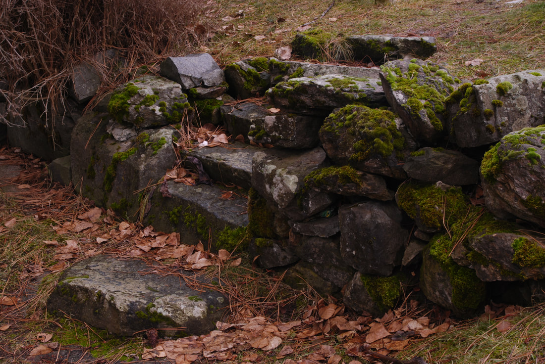
NEAR THE HIKERS PARKING LOT IS THIS VERY COOL ROCK WALL
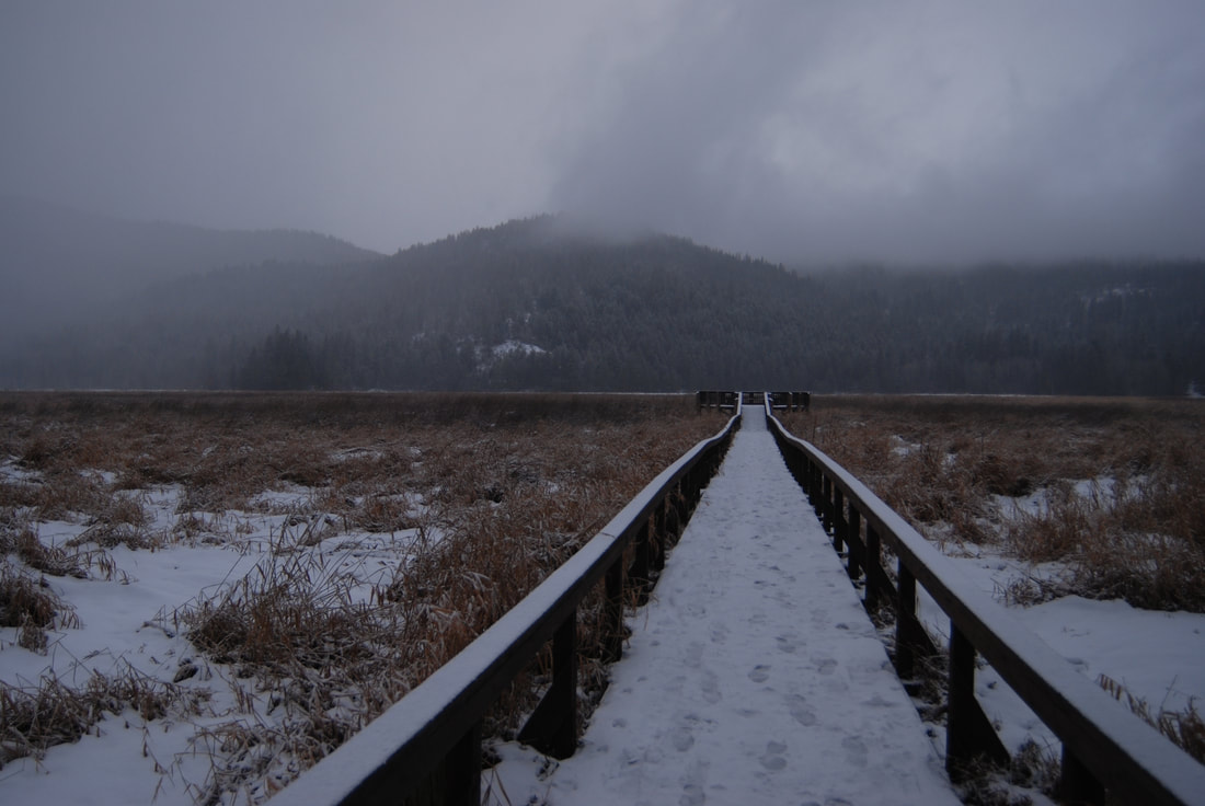
ALONG THE TRAIL NEAR THE PARKING AREA, IS THIS WALKWAY & VIEWING DECK
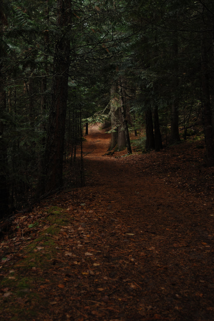
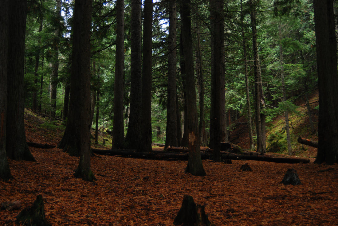
ON THE TRAIL TO LIBERTY FALLS
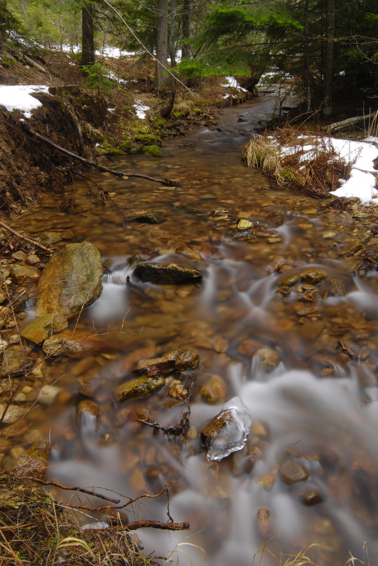
LIBERTY CREEK
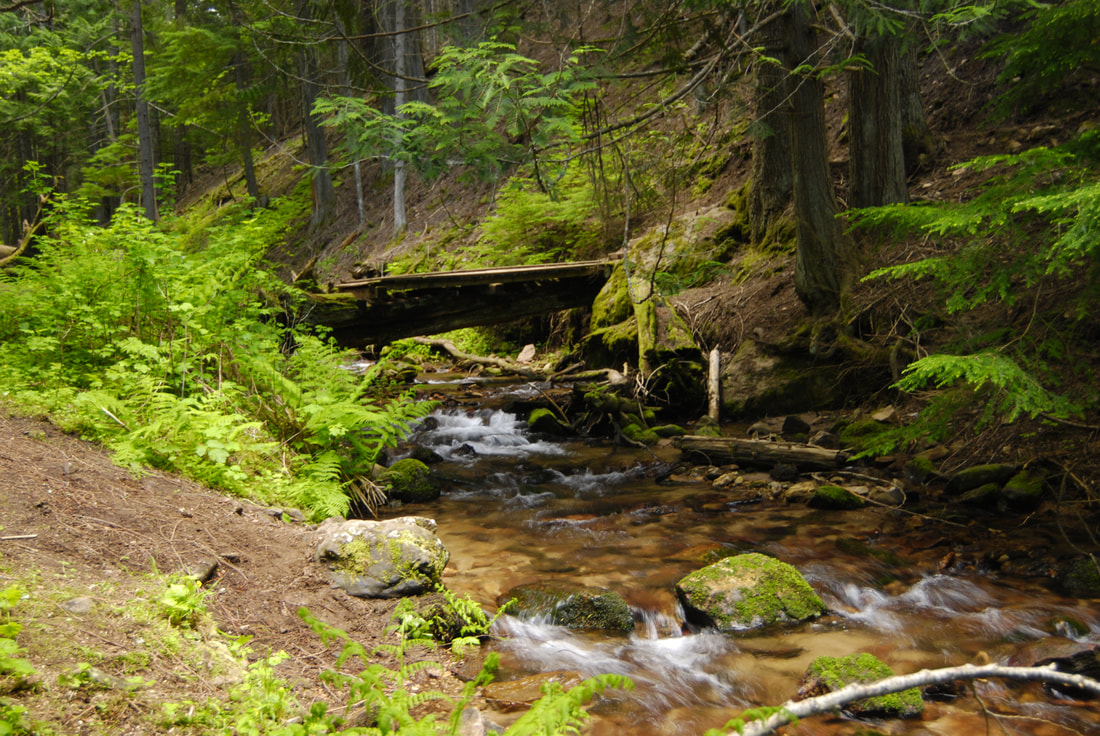
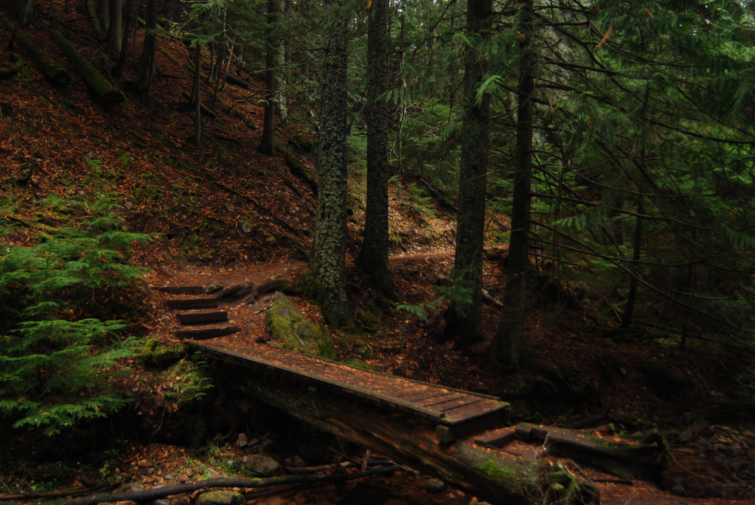
THE BIDGE ACROSS LIBERTY CREEK IN THE CEDAR FOREST
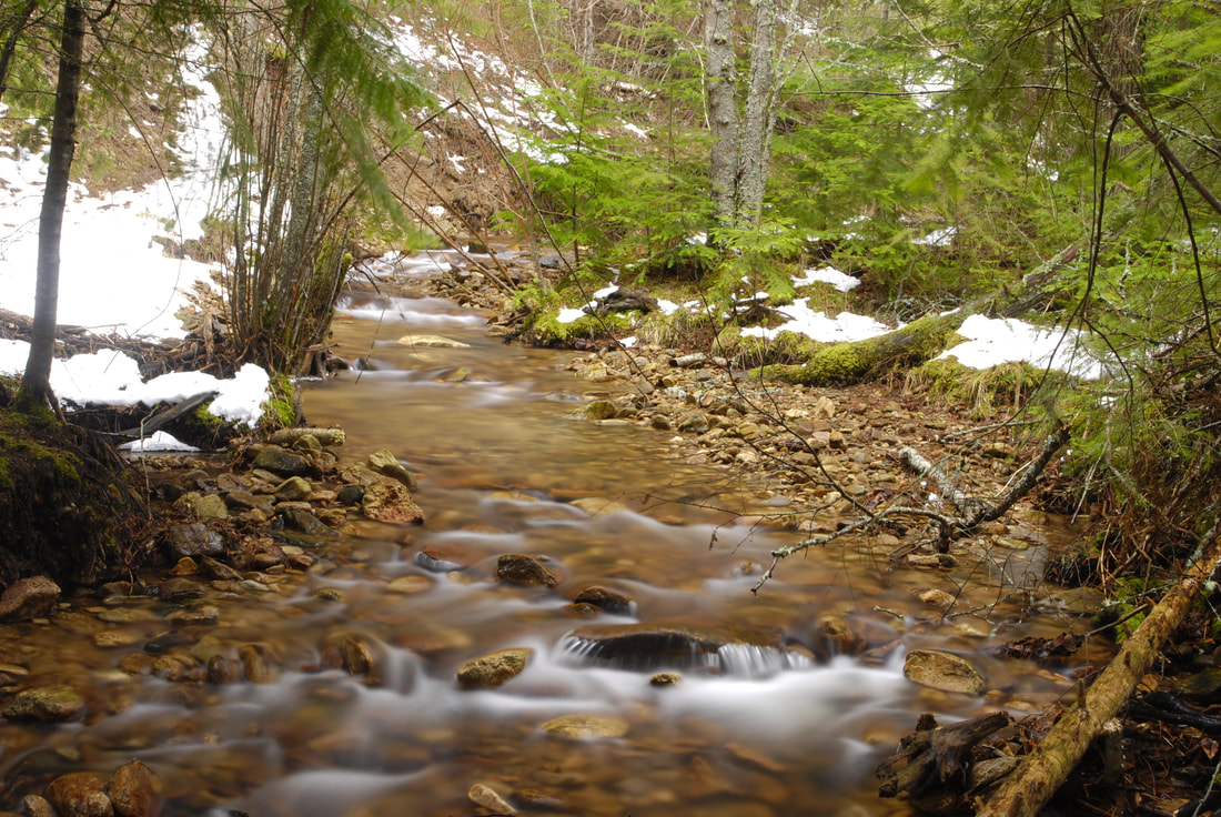
LIBERTY CREEK FROM THE SPLIT CREEK TRAIL
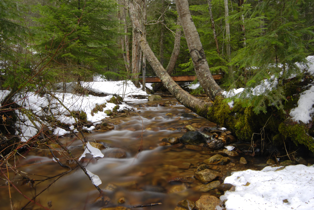
ONE OF THE FOOT BRIDGES ALONG THE MAIN TRAIL LOOP
THE CEDAR GROVE CONSERVATION AREA
THE BRIDGE AT THE CEDAR GROVE
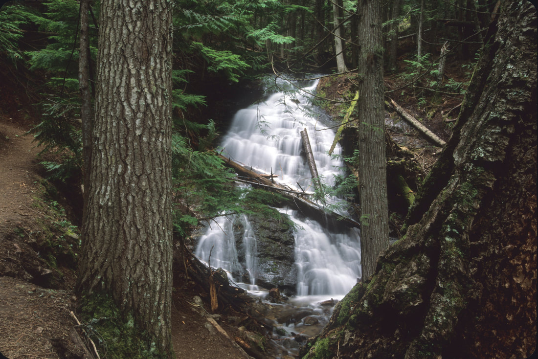
THE LIBERT LAKE REGIONAL PARK WATERFALLS
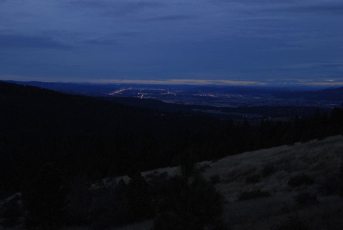
WALKING OUT AT TWILIGHT. THE MAIN ROAD ON THE LEFT IS SPRAGUE AVE.