BIG EDDY CAMP GROUND AND LAUNCH
PADDLE DISTANCE: The Lower Clark Fork River
ELEVATION: 2177’
LENGTH AND ACREAGE: NA
MAPS: Kootenai National Forest
LAUNCH GPS: 48°04’01 N 115°55’38” W
SANDERS COUNTY SHERIFF: 406.827.3584
ELEVATION: 2177’
LENGTH AND ACREAGE: NA
MAPS: Kootenai National Forest
LAUNCH GPS: 48°04’01 N 115°55’38” W
SANDERS COUNTY SHERIFF: 406.827.3584
DESCRIPTION:
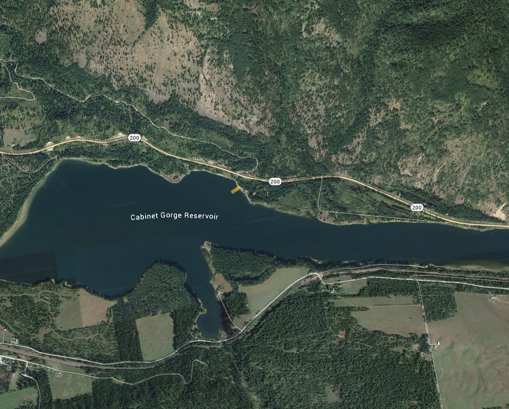
The Big Eddy Camp Grounds & Boat Launch is at the west end of the camp grounds. There’s one ramp with plenty of parking. Trees dampen the noise of Hwy 200. Down stream is the city of Heron, while up stream is, Bull River extends north from the Clark Fork.
ATTRACTIONS
You will be paddling on the Cabinet Gorge Reservoir, between the Cabinet Gorge Dam and the Noxon Dam.
DIRECTIONS:
From Clark Fork, Idaho, drive east on Hwy 200 into Montana. In about 7 miles from the boarder is the camp ground and launch.
COOL THINGS CLOSE BY:
Bull River, the Noxon Reservoir, and the Johnson Creek Delta.
R & P:
Clark Fork Pantry, Squeeze Inn (not in winter months), Clark Fork.


