EVENT TYPE: EVENT TYPE: Day hiking, paddling, backpacking and climbing DISTANCE: 8.2 miles RT ELEVATION GAIN: 1708’ gain DIFFICULTY: Moderate MAPS: Kootenai N.F., Cabinet Mountain Wilderness, Elephant Peak topo GPS: 48°04’00”N 115°68’00”W Cabinet Ranger District. 406.827.3533 SANDERS COUNTY SHERIFF: CALL 911 FIRST or 406.827.3584
DESCRIPTION:
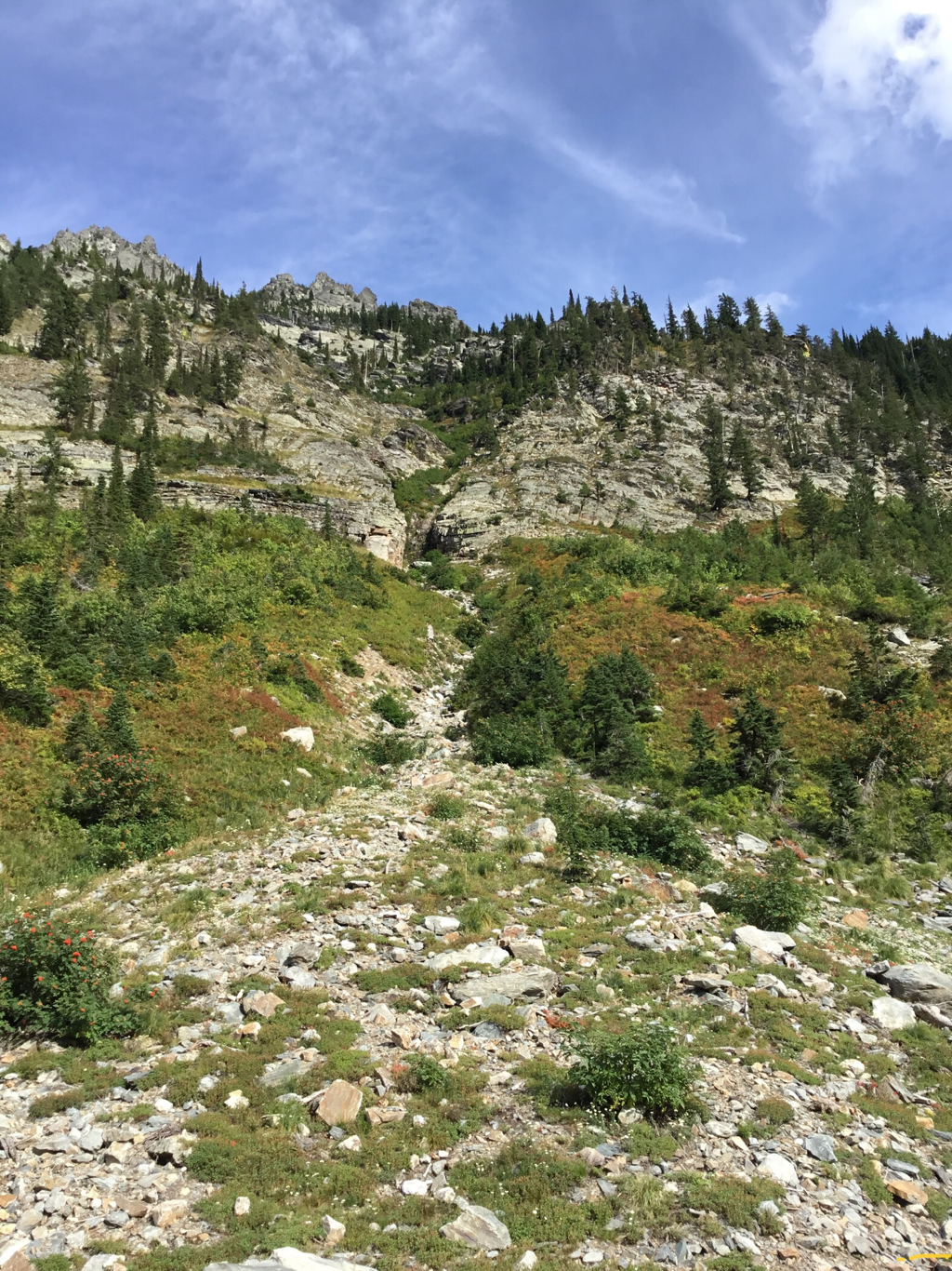
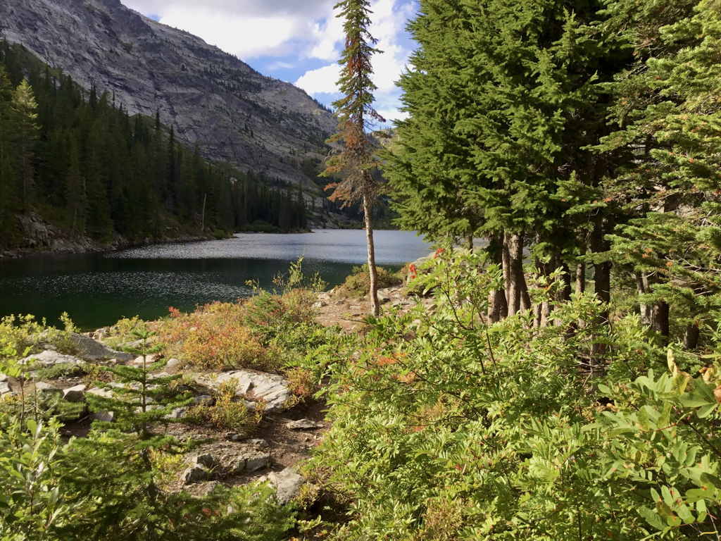
WE HAVE ADDED THE AREAS SHERIFF’S EMERGENCY PHONE NUMBERS FOR EACH TRIP WRITE UP UNDER THE RANGER DISTRICT INFO. IF AN EMERGENCY OCURRS, EVALUATE YOUR CIRCUMSTANCES AND CALL ONLY IF NEEDED. The Rock Lake Trail has several stream crossings to navigate near the beginning. Spring runoff can be tricky. About a mile in, the road passes near an old mining claim, and heads N.E. past several old mine buildings and Rock Creek Meadows for 2.5 miles to the eastern wall. For about 2 miles the old mining road gains about 593’. In about a mile past the meadows as the trail climbs, is the old Heidelberg mining operation. Its boiler and gravity pump equipment, as well as Rock Creek Falls, are a good place to spend a moment looking over the old equipment. The trail to the lake is about 40’ back down the trail off to the left (E) . After 7 switchbacks, the trail walks out next to the outlet creek to the main body of the lake. There are some campsites on the right (east) side on a small peninsula, and near the NW end of the lake on the left side (W). The lake has two small island on the near east side, and a larger peninsula on the N.W. end. Rock Peak 7583’ towers to the west, St. Paul Peak 7714’ is to the N.W., while Ojibway Peak 7303’ is to the east.
OPTION #1:
At the far end of Rock Lake is the St. Paul Pass at about 1.7 miles. Above the Pass are the three Libby Lakes to the right (N). One can continue N.W. from the pass to St. Paul Lake or St. Paul Peak. The scramble of Rock Peak, is best from Cliff Lake.
OPTION #2:
If you are a hardy hiker, Ojibway Peak towers high above to the east. Ojibway Peak’s S.W. Face is a destination for climbing. It is a steep scramble for any but the best climbers/scramblers.
DIRECTIONS:
From Hwy 200 at two miles or milepost 17 past the Noxon turnoff is the Rock Creek Road #150. The turnoff is past a steel bridge and has a specialty lumber cutting operation on Road 150. In about 400 feet the road forks. Take the right fork and drive about 6 miles to a junction with Road #150A. Take 150A about 1.5 miles to the trail head.
HAZARDS:
Up road from the trailhead are two creeks that are difficult in the spring. Please use caution. Take sandals. The Rock Creek Meadows is a place I’ve seen bears. Move quickly pass the meadows, and make lots of noise.
COOL THINGS CLOSE BY:
Rock Peak, Ojibway Peak, St. Paul Pass, and Libby Lakes.
R & P:
Henry’s & Pizza Hut, The Shed in Libby. Clark Fork Pantry & Squeeze Inn in Clark Fork. Eicharts, Mr Sub, Burger Express, & Jalapeños in Sandpoint
PHOTO GALLERY
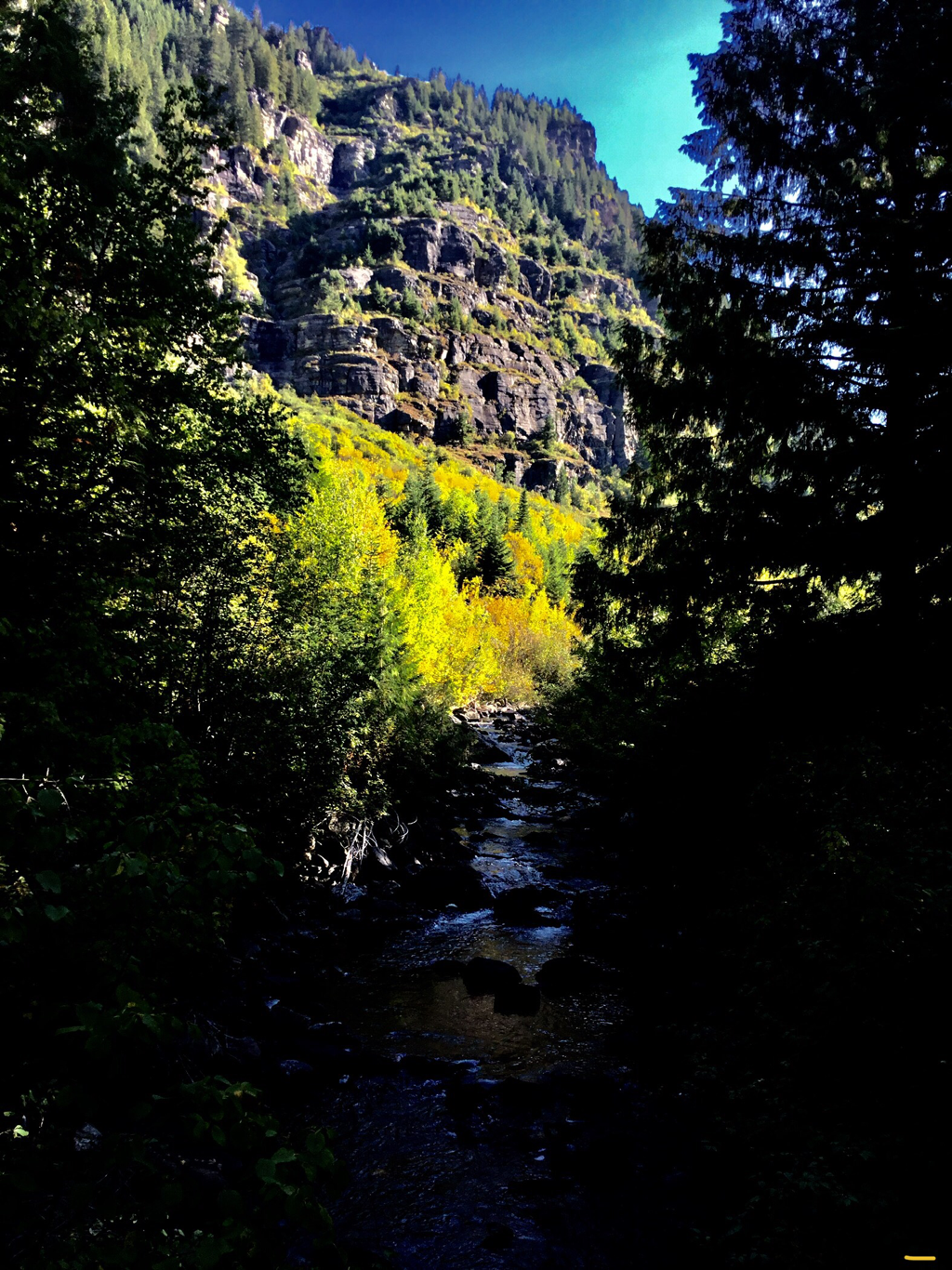
ONE OF SEVERAL ROCK CREEK CROSSINGS ON A BRIDGE
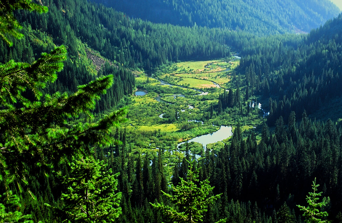
ROCK CREEK MEADOWS
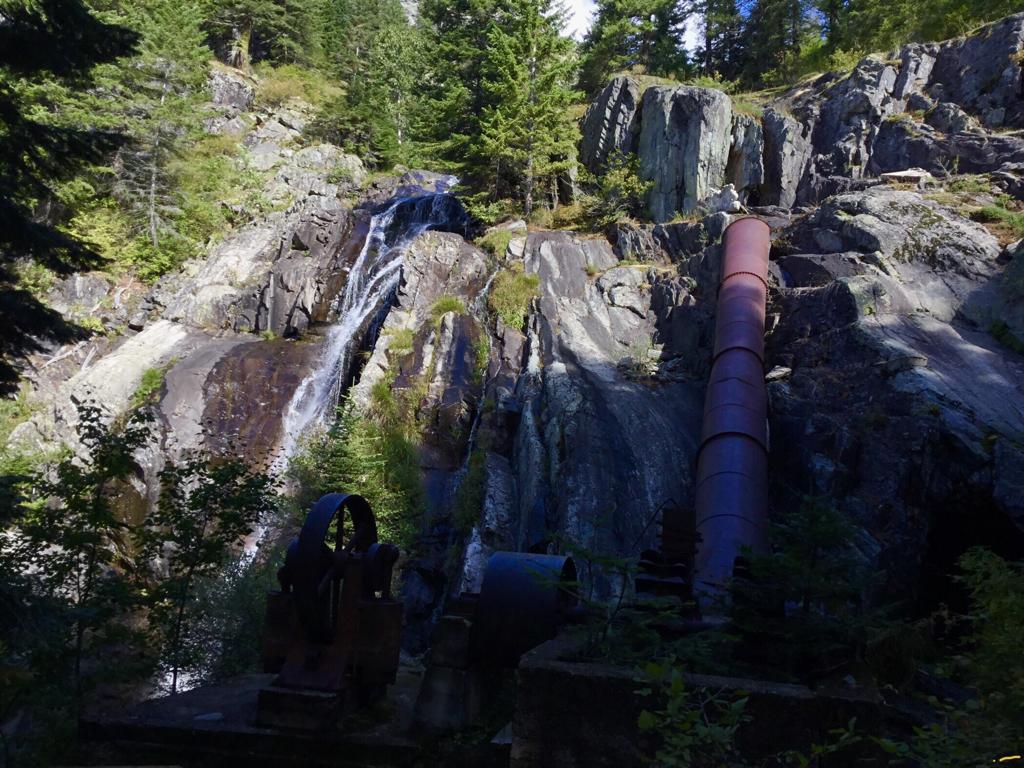
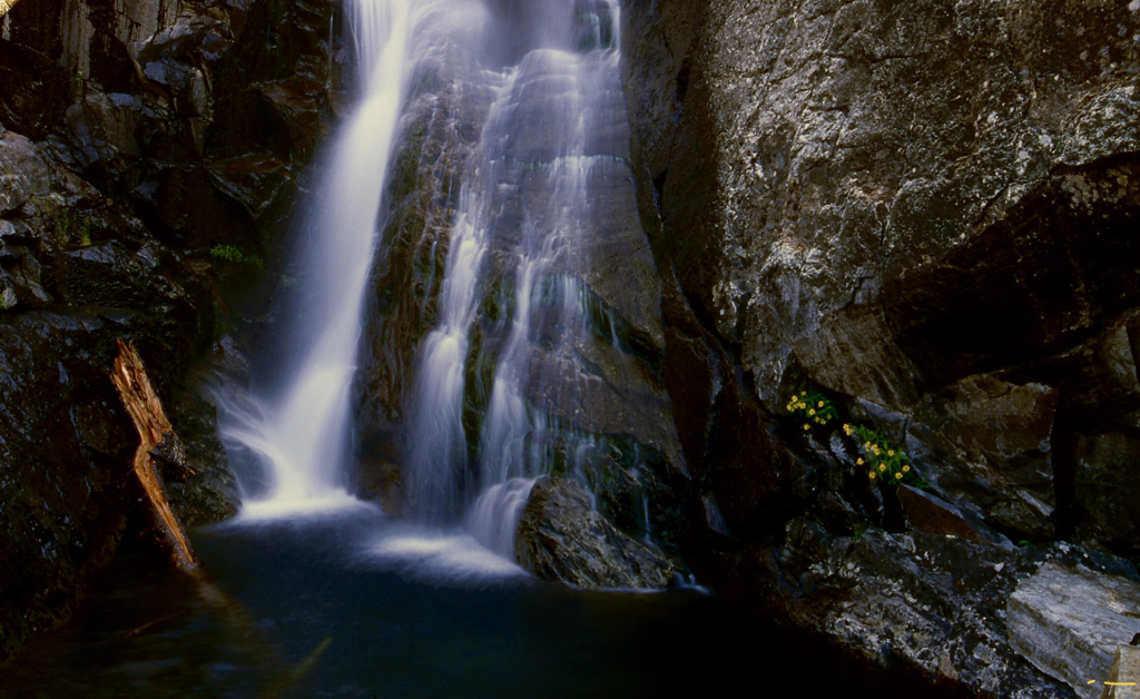
THE HEIDELBERG MINE AND ROCK CREEK FALLS
ROCK CREEK FALLS
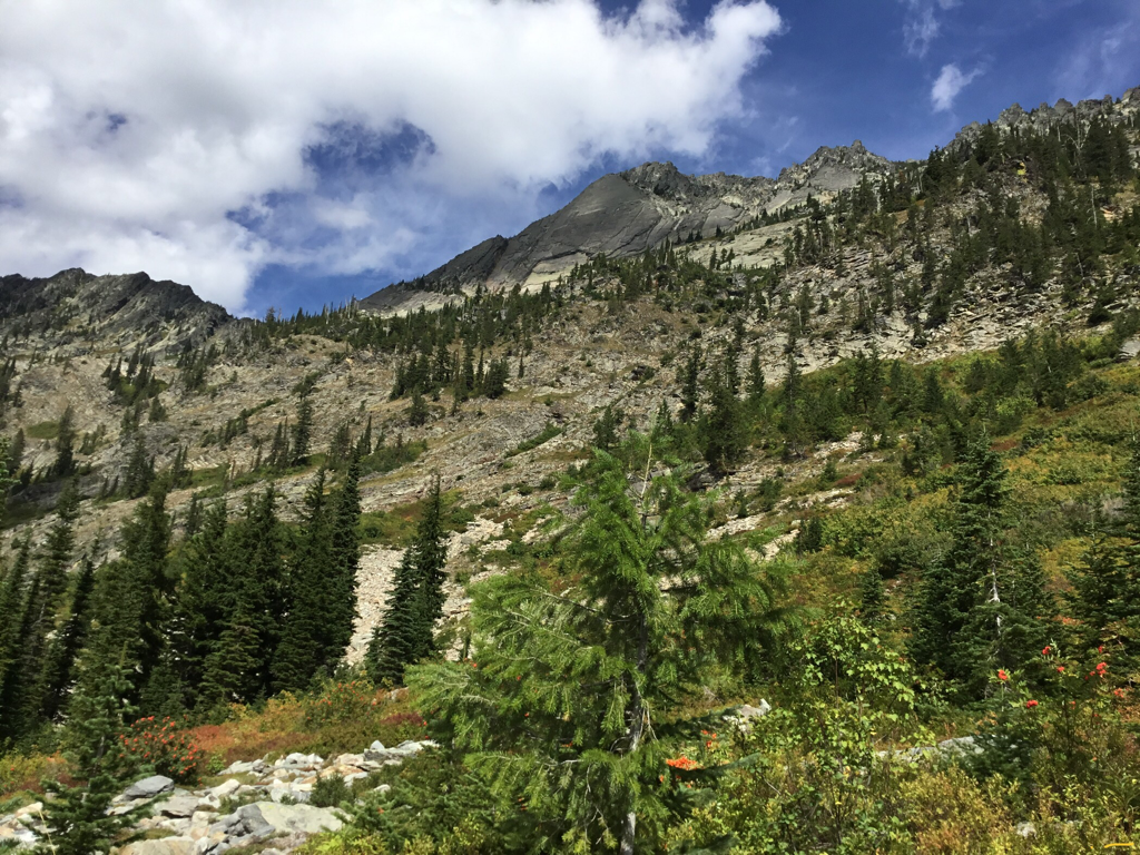
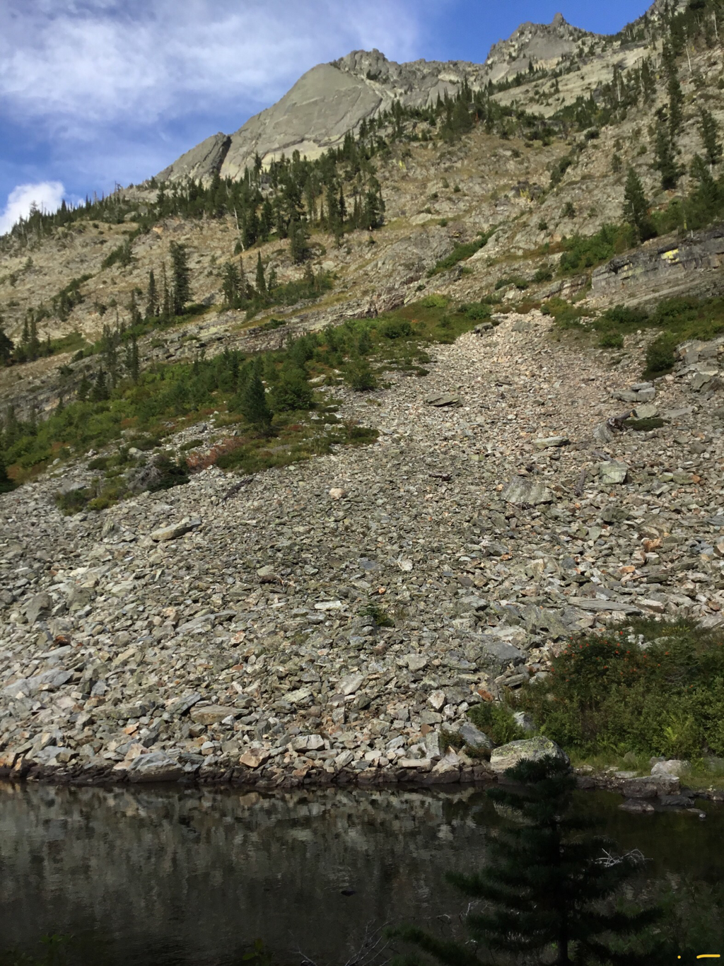
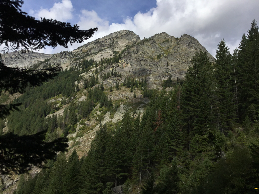
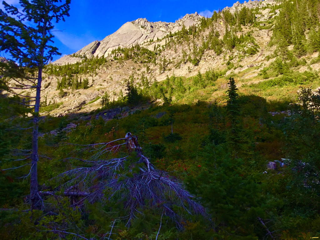
HIGH RIDGE ABOVE ROCK LAKE TO THE EAST OF OJIBWAY PEAK
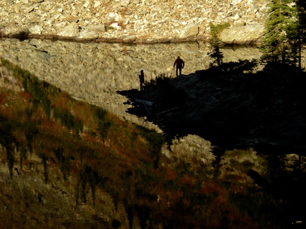
WALKING UP TO THE CAMPSITE ON THE PENINSULA
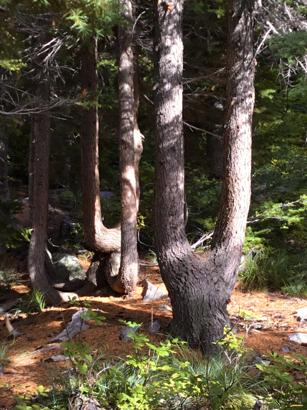
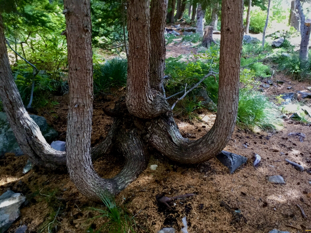
SOME UNUSUAL TREES NEAR THE CAMPSITE PLEASE DO NOT HARM THEM.
DID I MENTION UNUSUAL TREES PLEASE DO NOT HARM THEM
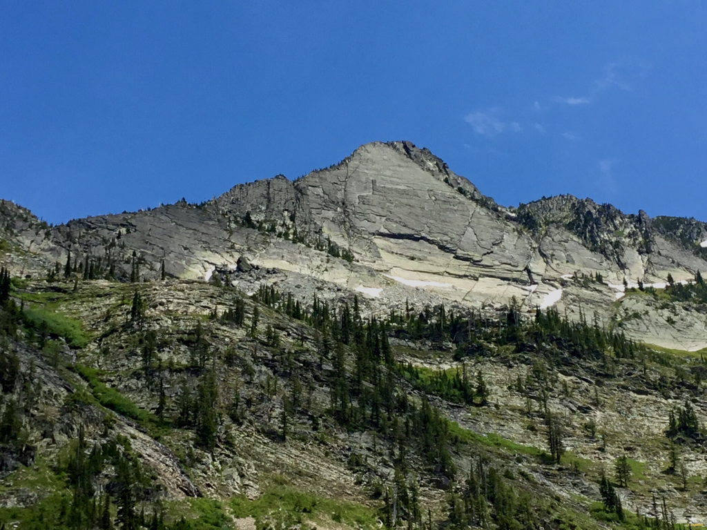
OJIBWAY PEAK 7303’
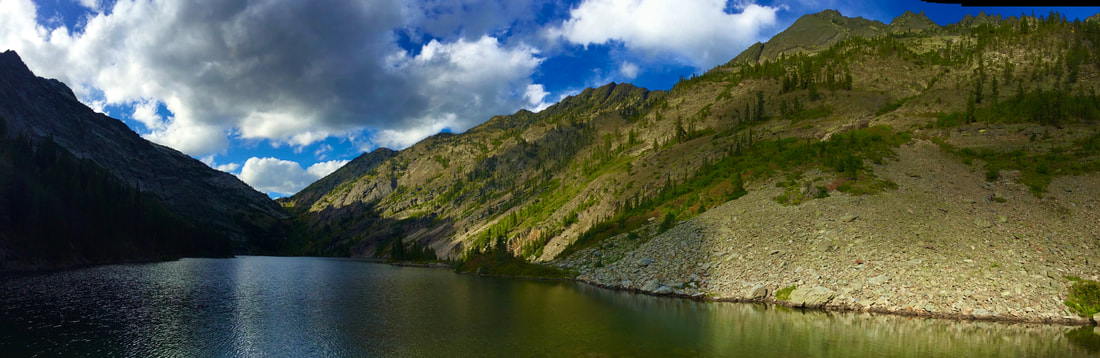
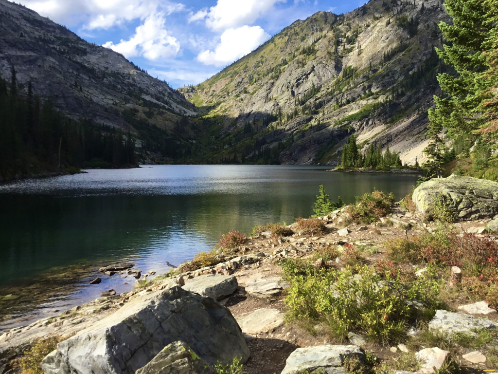
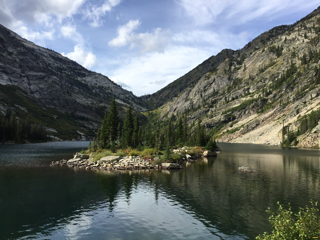
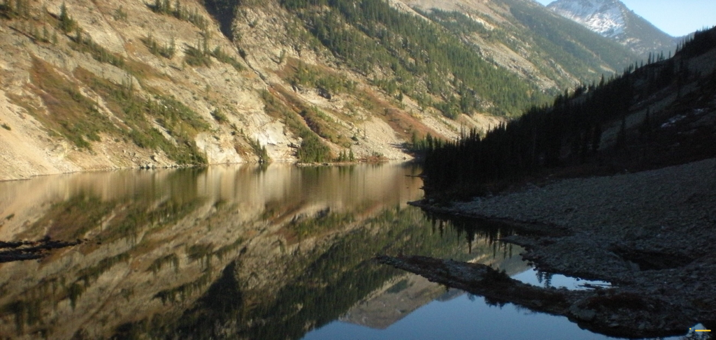
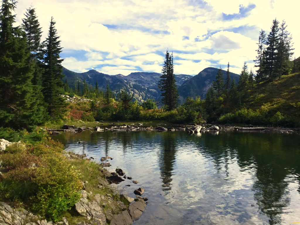
THE VIEW LOOKING NW UP ROCK LAKE, WITH ST PAUL PASS
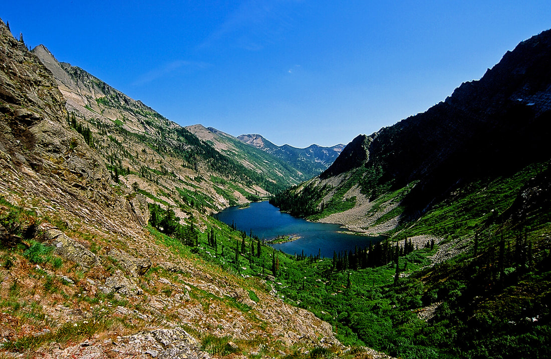
ROCK LAKE FROM THE ST.PAUL PASS
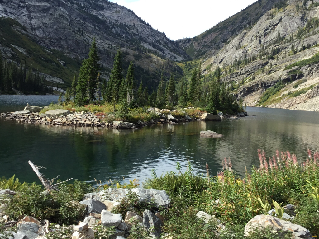
FIREWEED & A CORNER OF THE SOUTHERN ISLAND
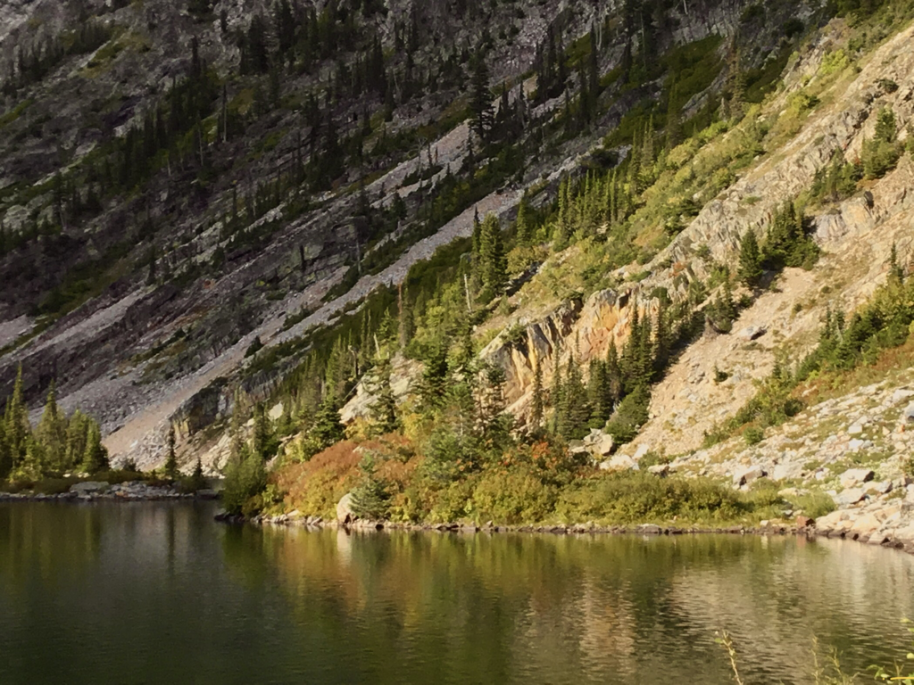
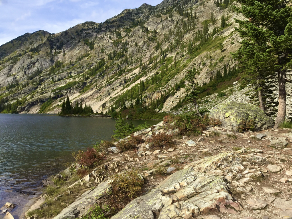
ALONG THE NE SHORE LINE
OJIBWAY PEAK 7303’ EAST SHORE LINE
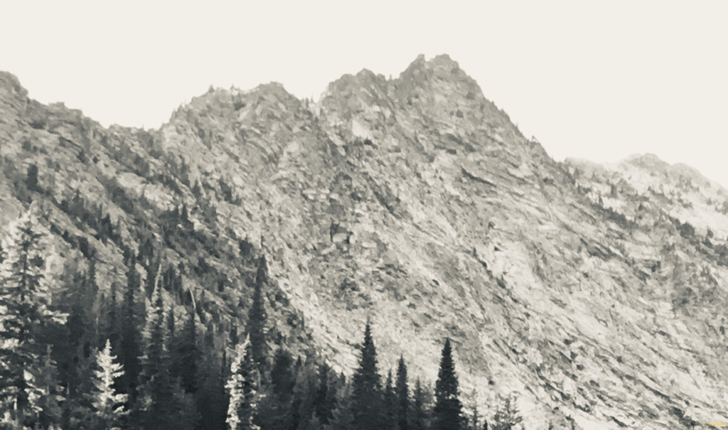
TELEPHOTO, B & W OF ROCK PEAK. FIRST ACSENT BY SPOKANE MOUNTAINEERS, 1940
NE SHORE LINE WITH OJIBWAY PEAK. ALSO SMI FIRST ASCENT, 1940
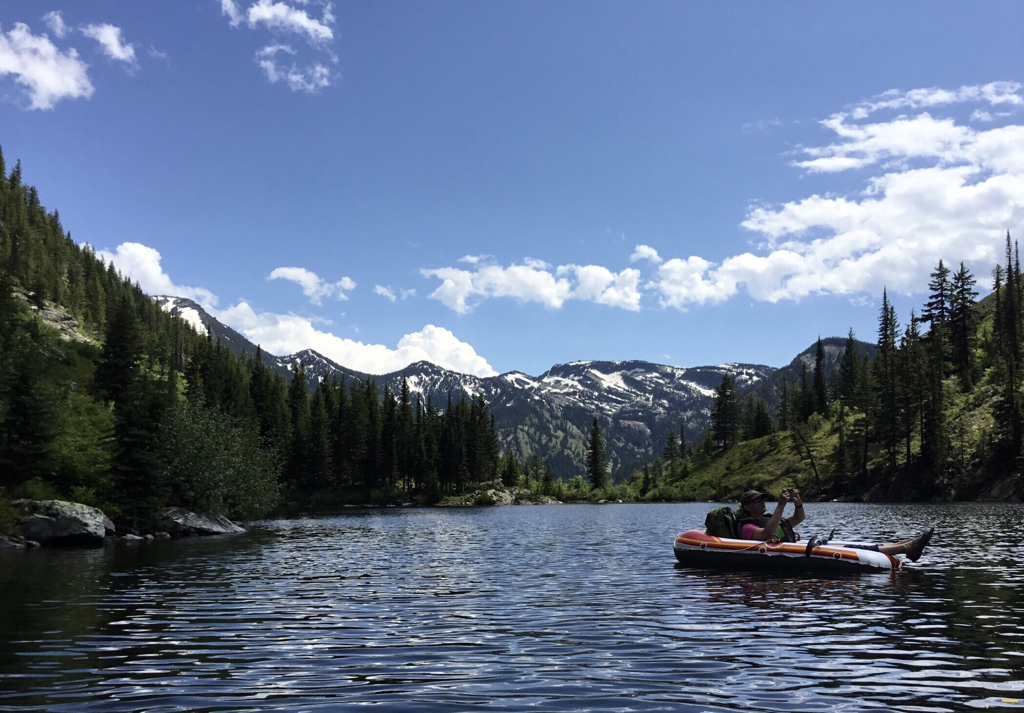
AMY RAFTING ROCK LAKE I'M LOOKING SOUTH TOWARDS ENGLE PEAK
NE SHORE LINE FROM CAMPSITE
SOUTHERN ISLAND WITH ST.PAUL PASS OFF TO THE NW
AN OLD IMAGE OF FISHER-PERSONS ON THE NW END OF THE CAMPSITE
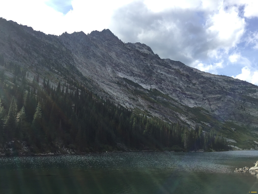
LOOKING SE ROCK LAKE
EAST FACE ROCK PEAK
THE SE FACE OF ROCK PEAK. FIRST ASCENT BY SMI, 1940.
SE CORNER ALONG THE TRAIL OUT. ENGLE PEAK 7583’ SECOND POINT FROM LEFT