PILLICK RIDGE 6167'
EVENT TYPE: Day hiking, backpacking, equestrian
DISTANCE: up to 22 miles RT
ELEVATION Gain: 3400+ verts
DIFFICULTY: Strenuous
MAPS: Kootenai N.F., Sawtooth & Smeads Bench topos
GPS: Trailhead 48°06’18” N 115°47’26” W
RANGER DISTRICT: Cabinet R.D. 406.827.3533
LINCOLN COUNTY SHERIFF: CALL 911 FIRST or 406.293.4112
DISTANCE: up to 22 miles RT
ELEVATION Gain: 3400+ verts
DIFFICULTY: Strenuous
MAPS: Kootenai N.F., Sawtooth & Smeads Bench topos
GPS: Trailhead 48°06’18” N 115°47’26” W
RANGER DISTRICT: Cabinet R.D. 406.827.3533
LINCOLN COUNTY SHERIFF: CALL 911 FIRST or 406.293.4112
DESCRIPTION:
WE HAVE ADDED THE AREAS SHERIFF’S EMERGENCY PHONE NUMBERS FOR EACH TRIP WRITE UP UNDER THE RANGER DISTRICT INFO. IF AN EMERGENCY OCURRS, EVALUATE YOUR CIRCUMSTANCES AND CALL ONLY IF NEEDED.
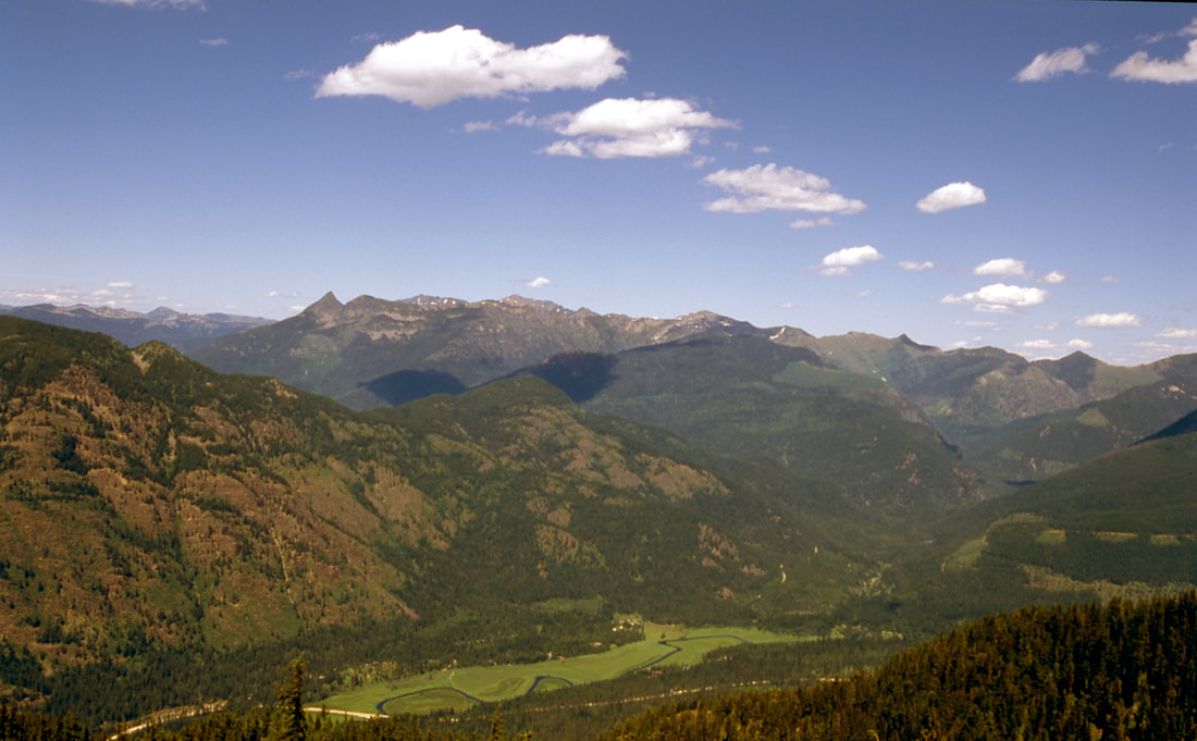
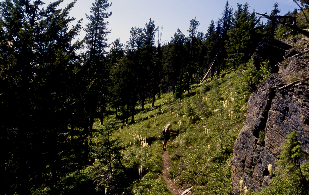
From the trailhead, hike south, then west on trail #1036 up a magnificent ridge with lots of switchbacks and gobs of wildflowers. At the switchbacks, when they break out of the woods, look to the north and east to the Cabinet Mountain Wilderness. There is a spur trail #1035 that takes you to and down Napoleon Gulch. Continue on 1036 to the second 1035 and beyond.
Star Peak is about 2.25 miles past the second 1035.
Although this trail is long, it offers great views and solitude.
OPTION #1:
At Trail #1035, Napoleon Gulch trail, you can head north down to Highway 56 about 9 miles from the trailhead. When we get to Hwy 56, you can hitchhiker back to the cars.
OPTION #2:
From Star Peak, you can hike north on trail #1016 to Highway 56, for a nice loop hike. Use a shuttle, or hitchhike back to the trailhead.
OPTION #3:
Take the Star Peak trail 998 to star Peak and walk out either of the options above.
DIRECTIONS:
From Clark Fork, head east on Highway 200 to Highway 56 and turn left (north) onto Highway 56 to near milepost 7. Look for the Pillick Ridge sign and narrow road to the small trailhead.
HAZARDS:
COOL THINGS CLOSE BY:
Scotchmans Peak, Cabinet Mountain Wilderness, Highway 56, Kootenai Falls, Ross Creek Cedars, and the Proposed Scotchman Peaks Wildreness.
R & P:
Clark Fork Pantry, Clark Fork Jalapeños, Mr. Sub,
burger Express, Eichardt’s in Sandpoint
burger Express, Eichardt’s in Sandpoint
Click for Current NOAA Weather Conditions


