TRESTLE CREEK RECREATION AREA LAUNCH
PADDLE DISTANCE: varies
ELEVATION: 2067’
LENGTH AND ACREAGE: 148 square miles or 88,008 acres, 65 miles long, with 125 miles of shore line, & 1150’ deep
MAPS:
LAUNCH GPS: 48°16’33” N 116°20’49” W
ELEVATION: 2067’
LENGTH AND ACREAGE: 148 square miles or 88,008 acres, 65 miles long, with 125 miles of shore line, & 1150’ deep
MAPS:
LAUNCH GPS: 48°16’33” N 116°20’49” W
DESCRIPTION:
Trestle Creek Camp Grounds has a launch, a few camp sites and fire rings.
ATTRACTIONS
Close to the Pack River Delta.
DIRECTIONS:
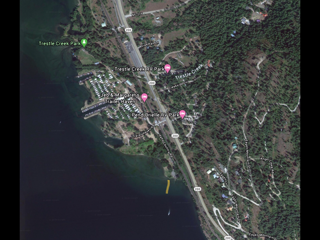
Drive east of Sandpoint on Hwy 200 to the town of Trestle Creek. Turn right onto Trailer Haven Road, and cross the RR tracks and turn left onto Idaho Country Road to the launch site.
COOL THINGS CLOSE BY:
Pack River Delta, and the north shore of P.O. Lake.
R & P:
NA


