LUNCH PEAK 6412’ & MOUNT PEND ORIELLE 6755’ TRAIL #87
EVENT TYPE: Day hiking, backpacking, and equestrian DISTANCE: 8 miles RT ELEVATION GAIN: 2155 verts DIFFICULTY: moderate MAPS: IPNF, Mount Pend Orielle GPS: Lunch Peak. 48°22’ 29” N 116°11’36” RANGER DISTRICT: Sandpoint R.D. 208.263.5111 BONNER COUNTY SHERIFF: CALL 911 FIRST or 208.267.8417
DESCRIPTION:
WE HAVE ADDED THE AREAS SHERIFF’S EMERGENCY PHONE NUMBERS FOR EACH TRIP WRITE UP UNDER THE RANGER DISTRICT INFO. IF AN EMERGENCY OCURRS, EVALUATE YOUR CIRCUMSTANCES AND CALL ONLY IF NEEDED. This 8 mile RT hike start up at 6412’ at the Lunch Peak rental lookout tower. From the lookout, the Trail #67 heads north for 4 miles along an undulating ridge to a high point of 6755 foot Mount Pend Orielle. There are two shorter summits between the two summits that allow for views in all directions. Both Lunch Peak and Mount Pend Orielle offer incredible views. To the south east is the Proposed Scotchman Peaks Wilderness, at 16 miles. And to the ESE 26 miles is Snowshoe Peak in the Cabinet Mountain Wilderness. And to the SW, the views look down Lake Pend Orielle.
DIRECTIONS:
From Sandpoint, drive east on Hwy 200 for about 12 miles to the Trestle Creek Road #275. Turn left (north east) for about 12 mil, and turn left at a switchback onto F.R #1091 to the Lunch Peak Lookout.
COOL THINGS CLOSE BY:
Lake Darling, Lake Estelle, and Moose Lake & Mountain.
HAZARDS:
The Trail #67 is a secondary trail, but is reasonably well maintained. Because it’s along a ridge most of the way, try to stay centered on the ridge..
R & P:
Mr. Sub, Eichardt’s, Jalapeños and the Burger Express.
PHOTO GALLERY
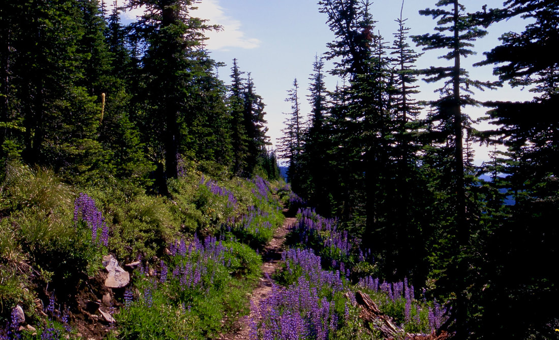
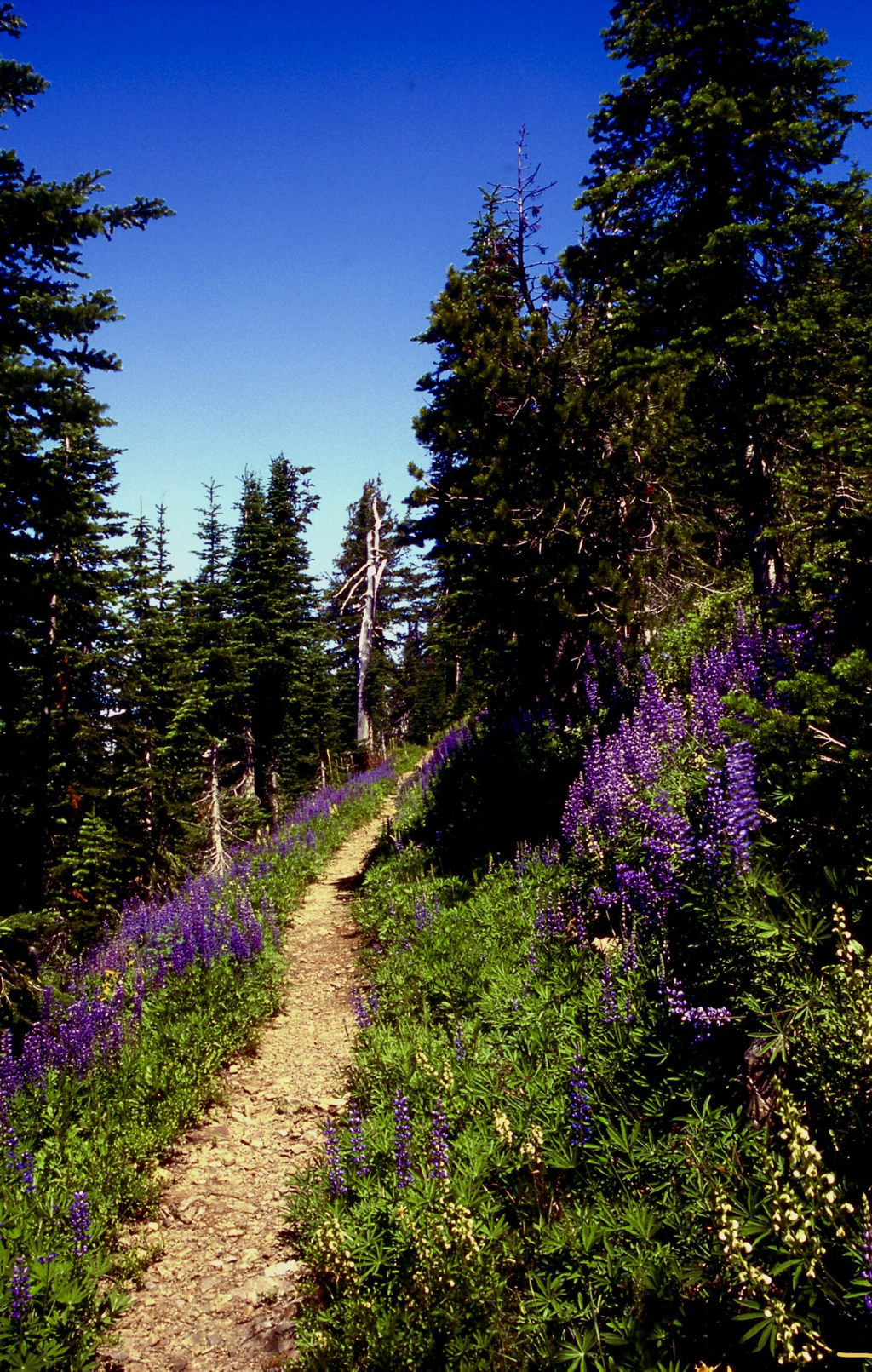
LUPINE, BEARGRASS AND OTHER WILDFLOWERS LINE THE SOUTH FACING TRAIL
MORE IMAGES COMING SOON. TO CONTRIBUTE, CONTACT CHIC