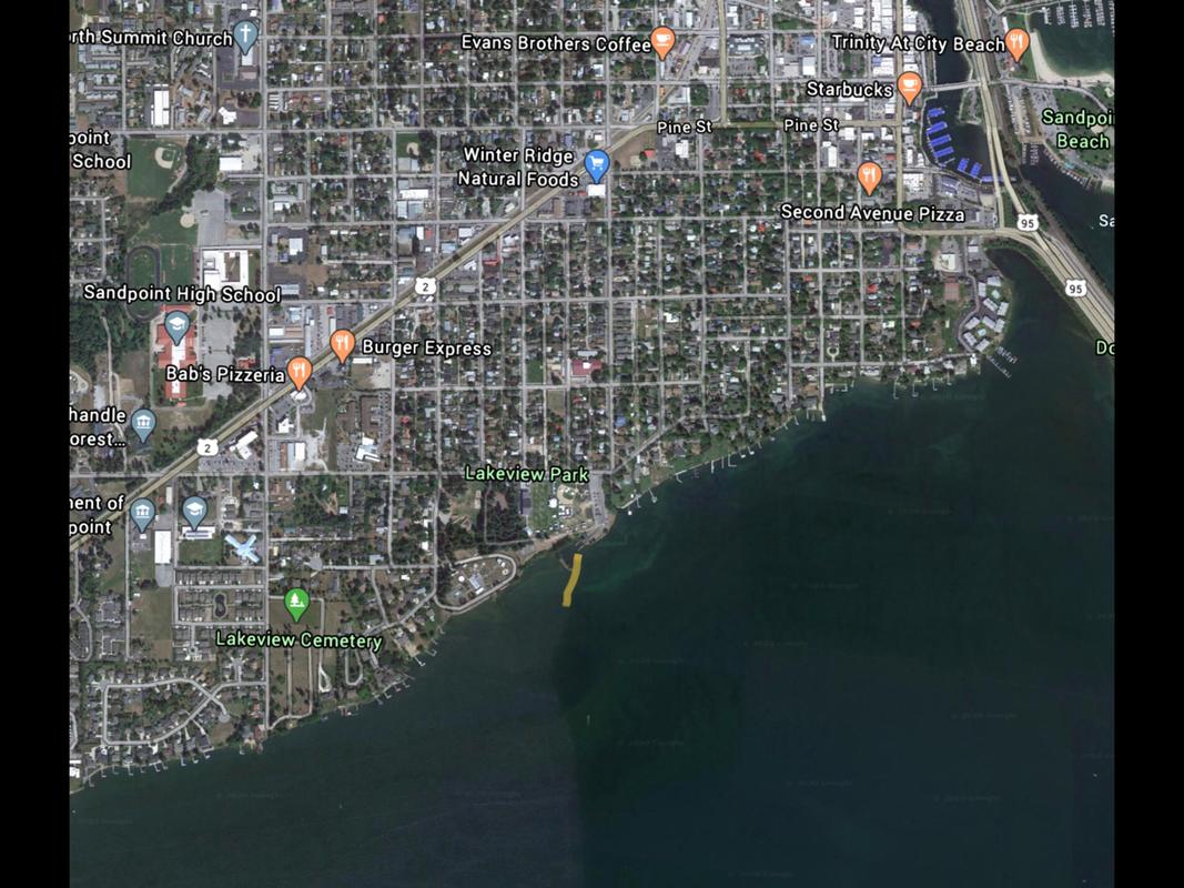
WAR MEMORIAL FIELD LAUNCH, SANDPOINT
PADDLE DISTANCE: varies
ELEVATION: 2066’
LENGTH AND ACREAGE: varies
MAPS: I.P.N.F., Sandpoint Topo
LAUNCH GPS: 48°15’51” N 116°33’28” W
BONNER COUNTY SHERIFF: 208.263.8417
ELEVATION: 2066’
LENGTH AND ACREAGE: varies
MAPS: I.P.N.F., Sandpoint Topo
LAUNCH GPS: 48°15’51” N 116°33’28” W
BONNER COUNTY SHERIFF: 208.263.8417
DESCRIPTION:
The War Memorial Field is also named The Lakeview Park.
There is a two lane ramp, with restrooms and plenty of parking.
The views of the Long Bridge are to the SE
There is a two lane ramp, with restrooms and plenty of parking.
The views of the Long Bridge are to the SE
ATTRACTIONS
Located between Sandpoint and Dover, this launch is in the Western end of Sandpoint.
Easy access your the Long Bridge and Pend Orielle Lake just past the Long Bridge.
Easy access your the Long Bridge and Pend Orielle Lake just past the Long Bridge.
DIRECTIONS:
From Dover, drive east on Hwy 2 for about 2 miles and turn east onto Ontario Street. In .7 miles is the Lakeview Park. The launch is on the SE side of the park.
From the Sandpoint exit off of 95, you will be on Superior. In a block, turn right (north) onto S. 1st Street. At Lake Street, turn left (west), and drive to Hwy 2. Turn left on Hwy 2 to S. Boyer Ave, where you turn left down to Lakeview Parkland
From the Sandpoint exit off of 95, you will be on Superior. In a block, turn right (north) onto S. 1st Street. At Lake Street, turn left (west), and drive to Hwy 2. Turn left on Hwy 2 to S. Boyer Ave, where you turn left down to Lakeview Parkland
COOL THINGS CLOSE BY:
Pend Orielle Lake, Round Lake, Priest River, and the Laclede Climbing Area.
R & P:
Burger Express, Mr. Sub, Eichardt’s, and Jalapeños.


