HOG CANYON & WATERFALLS
EVENT TYPE: Day hiking, and photography
DISTANCE: 3+ miles depending on your route
ELEVATION: 300 to 659 verts
DIFFICULTY: Easy
MAPS: BLM Fishtrap Brochure, & Cheney topo
GPS: 47°21’ 67” N 117°49’72” W
MANAGING AGENCY: BLM 509.536.1200
SPOKANE COUNTY SHERIFF: CALL 911 FIRST or 509.477.2240
DISTANCE: 3+ miles depending on your route
ELEVATION: 300 to 659 verts
DIFFICULTY: Easy
MAPS: BLM Fishtrap Brochure, & Cheney topo
GPS: 47°21’ 67” N 117°49’72” W
MANAGING AGENCY: BLM 509.536.1200
SPOKANE COUNTY SHERIFF: CALL 911 FIRST or 509.477.2240
DESCRIPTION:
WE HAVE ADDED THE AREAS SHERIFF’S EMERGENCY PHONE NUMBERS FOR EACH TRIP WRITE UP UNDER THE RANGER DISTRICT INFO. IF AN EMERGENCY OCURRS, EVALUATE YOUR CIRCUMSTANCES AND CALL ONLY IF NEEDED.
Fishtrap Road Trailhead
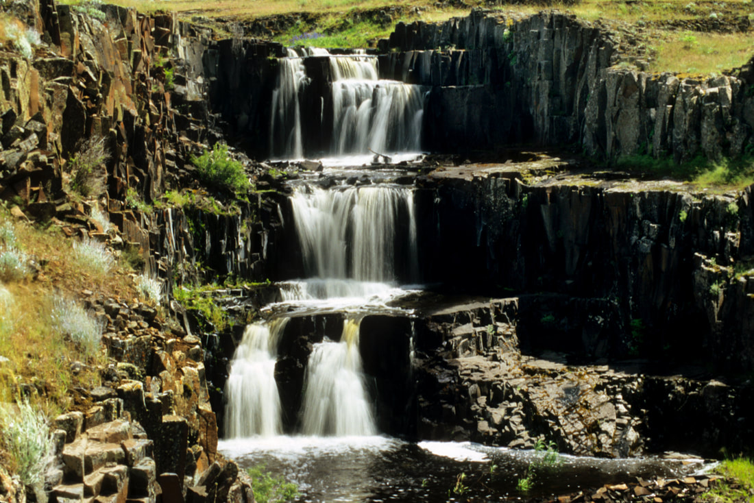
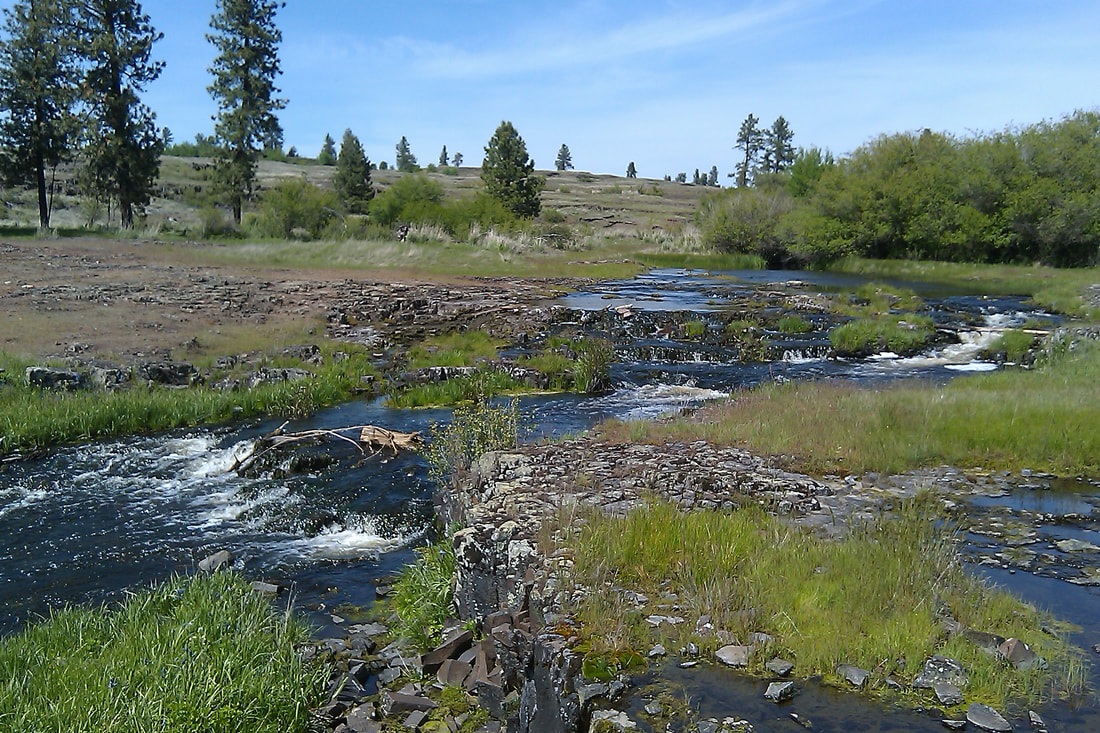
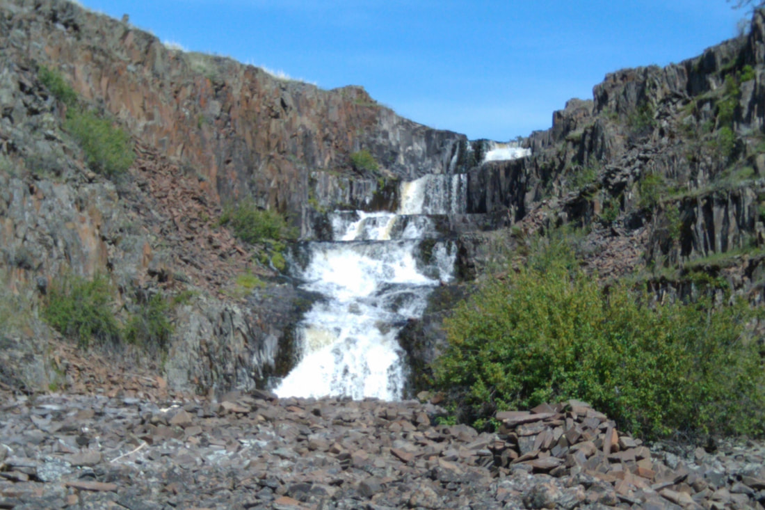
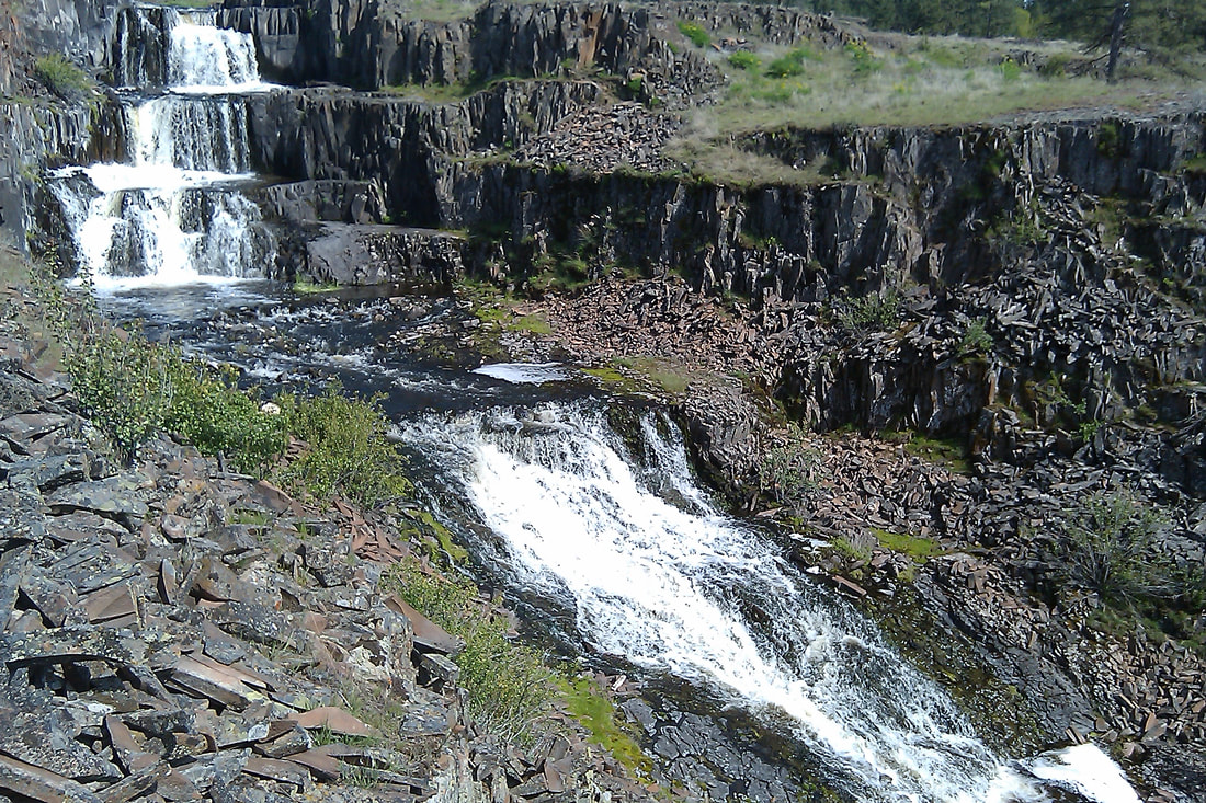
From the parking area, walk a short distance to the first dirt road and turn left (NE) thru two gates. As always, please close any gate you go thru. As the trail descends into a Ponderosa forest, you will come to Hog Canyon and two benches with an Aspen Grove. The trail picks up an old road for a short distance until you bear left onto a single track trail near the SW end of Hog Lake. There is a boat launch on your right (SW) end of the lake. The trail climbs along side and above Hog Lake. Follow the edge, but not too close, and continue NE. As you get closer to the NE end of the lake, off in the distance, Hog Canyon Falls comes into view. This high spot is a good place to use a telephoto lens to shoot the entire Hog Canyon Falls in one frame. The descent before you is rocky and offers several more photo ops of the falls. Wander the area for the best spots to photograph the falls. Please keep in mind that the falls are on private property, and always respect private lands. It has been recently posted.
Hog Lake trailhead.
From the boat launch parking area, head NE up a hill on the west side of the lake. This "trail" follows the west shore line high above the lake. Take extra care along the edge. It's a serious fall if you are not careful. Basically, follow the west shore line until the falls come into view in the distance. Be cautious as you descend to the base of the lake.
There is a trail off to the west that is on public land.
PLEASE RESPECT PRIVATE PROPERTY.
DIRECTIONS:
Fishtrap trailhead
Drive west on I-90 to exit 254, and head south on the Sprague Highway almost 2.5 miles, and turn left (east) onto the Fishtrap Road for a little over a half a mile to the trailhead on your left.
Hog Lake trailhead
Drive west on I-90 to exit 254 and cross over the freeway onto Sprague Highway. In about a mile turn left (east) onto the Jack Brown Road for 1.3 miles to the Lake Valley Road and a multi use parking area.
HAZARDS:
Rocky and rough trail, wood ticks, cow pies, and a serious cliff along Hog Lake.
PLEASE RESPECT PRVATE PROPERTY.
PLEASE RESPECT PRVATE PROPERTY.
COOL THINGS CLOSE BY:
Fishtrap Lake, Crab Creek, Turnbull National Wildlife Refuge, and Pine Lakes
R & P:
Lenny’s in Cheney
