EVENT TYPE: Hiking, backpacking and scrambling DISTANCE: About 10 miles ELEVATION: 3500 to 4000' DIFFICULTY: Moderate to strenuous MAPS: IPNF - Kaniksu N.F., USGS - The Wigwams, Roman Nose, ID GPS: Harrison Lake 48° 42’ 12.5”N 116° 37’ 23.4”W, Beehive Lake 48° 38’ 59.3”N 116° 37’ 25.0”W RANGER DISTRICT: Bonners Ferry R.D. 911 or 208.267.5561
DESCRIPTION:
Because of the length of the drive, I would suggest staying at or near the trailhead. Leave a car at the Beehive Trailhead so you don't have to walk the 1.2 miles up to the cars. Hike to the 2.3 miles to Harrison Lake on trail # 217. While enjoying the lake and your snack, notice the back wall above the lake. Your goal is to scramble to the SECOND LOWEST NOTCH on that wall, or the left lowest notch. After a snack, walk around the left (south) side of the lake and look for a small stand of Sub-Alpine Fir on your left about 75 verts above the back of the lake. Skirt the right (west) side of the trees, and start your scramble to the notch. Yes its steep, but very doable. Stop as much as you need to rest. Once you are on top, you are on the American Selkirk's Crest. Turn left (south) and make your way to Peak 7171'. Peak 7171' is the second high peak on the Crest above the lake. This is a good place to have your first lunch. From here you can hike the Crest south for up to 4 summits. You can't get down the 4th peak. All along the ridge there are ways to get down to the high meadows below. Once in the meadows, walk the 1.4 miles south towards the long ridge above Little Harrison Lake. This is a good place for your second lunch and a quick nap. After you have enjoyed Little Harrison Lake, walk around the left (east) side of the lake, and scramble to the top of the ridge. On the ridge look for a notch and a faint trail down to Beehive Lake. Enjoy Beehive because the hike to the trailhead is nearly 3.8 miles below the lake. But it’s on a nicely maintained trail.
DIRECTIONS:
Drive north of Sandpoint on 95 for 10.5 miles to Samuel. There is a gas mart on the west side of 95 and signs for the Pack River Road #231. Drive 20 miles on 231 to the end of the road and the Harrison Lake's trailhead.
HAZARDS:
Because about half of the route is off trail, you must take extra care on this entire route. Be sure to carry your 13 essentials, a water purifier, and dress for all weather conditions.
COOL THINGS CLOSE BY:
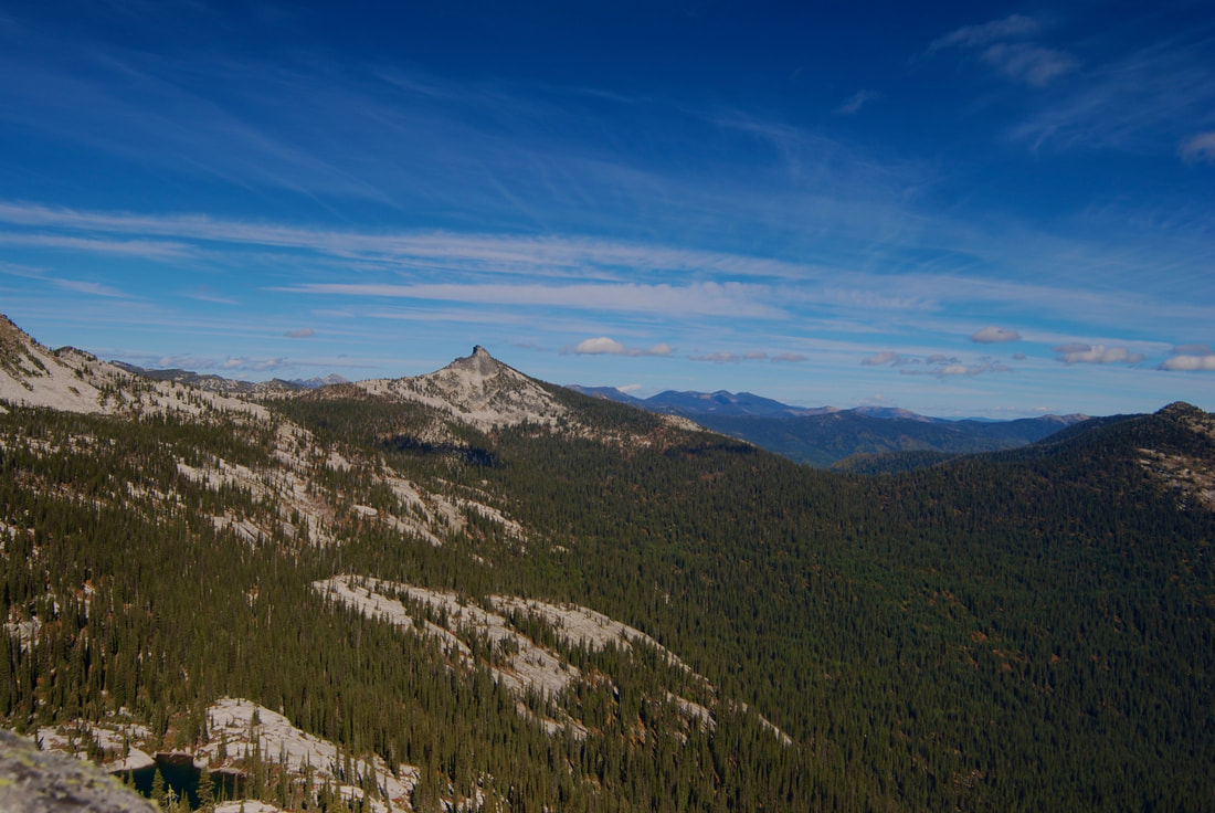
Fault Lake, the Seven Sisters of the American Selkirks, and Pend Orielle Lake.
R & P:
Jalapeños, Mr. Sub, Burger Express, and Eichardt’s in Sandpoint
PLAN YOUR TRIP:
PHOTO GALLERY
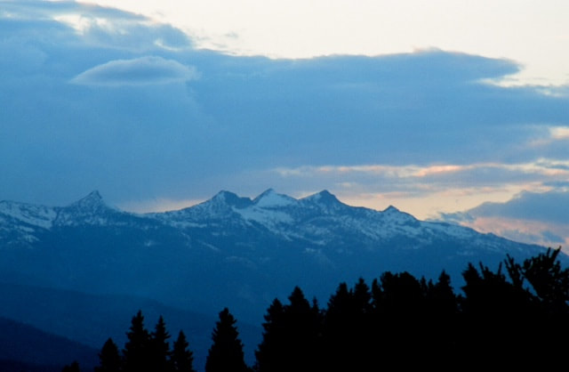
MOST OF THE SEVEN SISTERS, FROM NEAR COLBURN, IDAHO
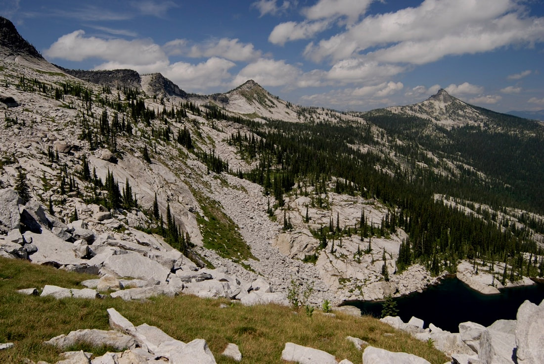
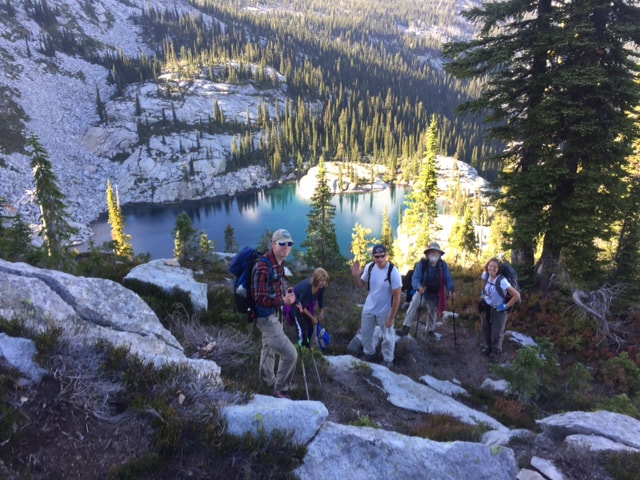
HARRISON LAKE, SCRAMBLE TO NOTCH LEFT OF CENTER SUMMIT, NOT THE RIGHT ONE
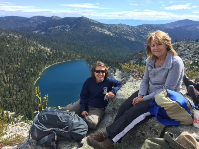
TWO SCRAMBLERS ATOP PEAK 7171’ WITH HARRISON LAKE BELOW
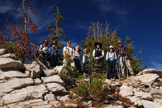
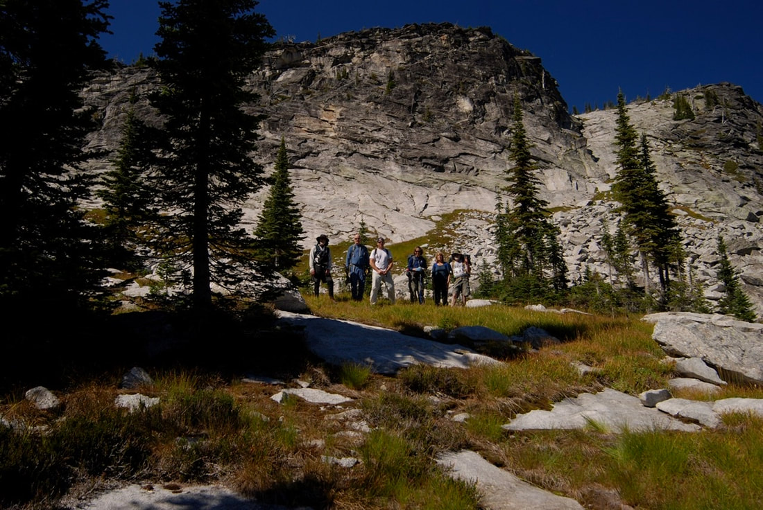
THE TEAM AFTER SUMMITING THE SELKIRK CREST ABOVE HARRISON LAKE
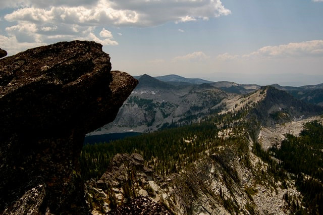
HARRISON PEAK (LEFT) PEAK 7171’ IN DISTANCE & CREST ABOVE HARRISON LAKE
TYLER WATCHING CHIC SCRAMBLING TOWARDS THE CREST. HARRISON LAKE BELOW
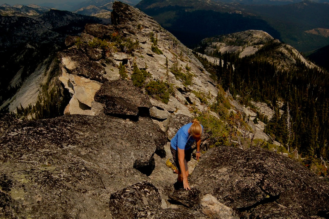
AMY SCRAMBLING ABOVE HARRISON LAKE, ON THE CREST
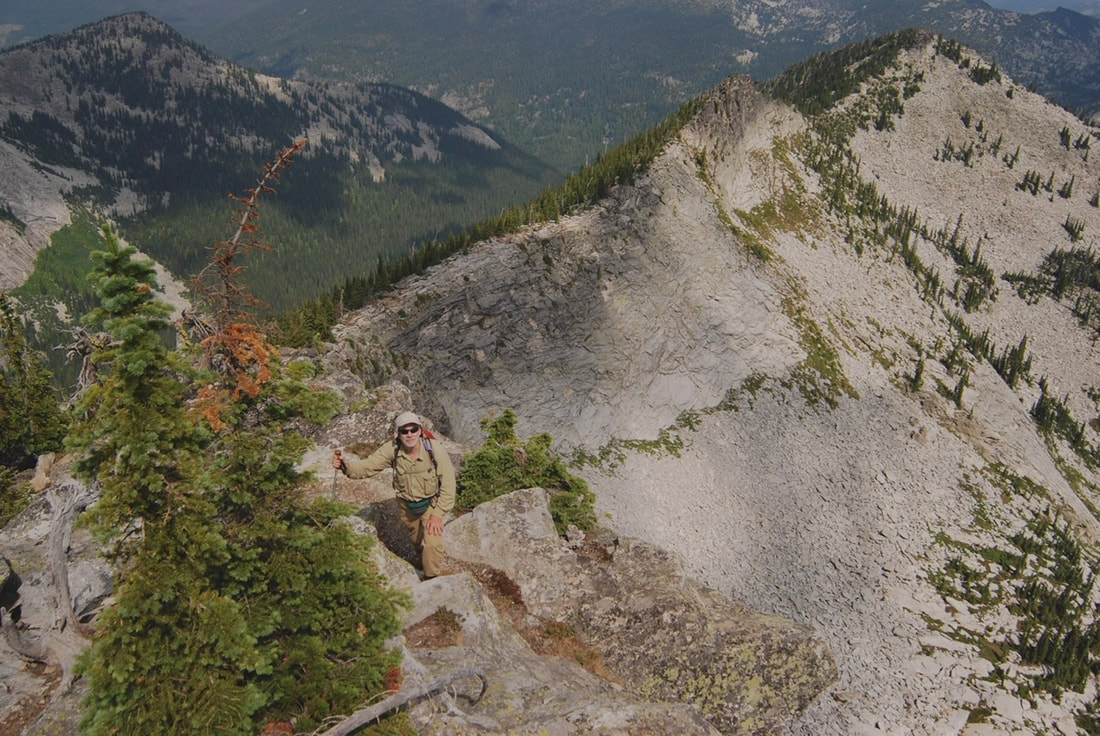
RICH SCRAMBLING ABOVE HARRISON LAKE ALONG THE CREST
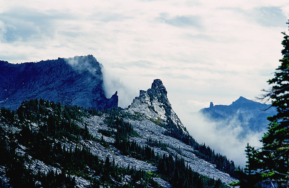
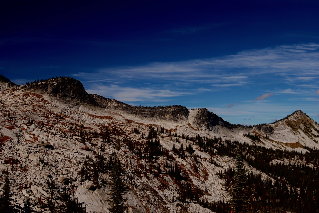
ALONG THE SELKIRK CREST
ALONG THE CREST ON THE WAY TO THE TWINS, OF THE SEVEN SISTERS
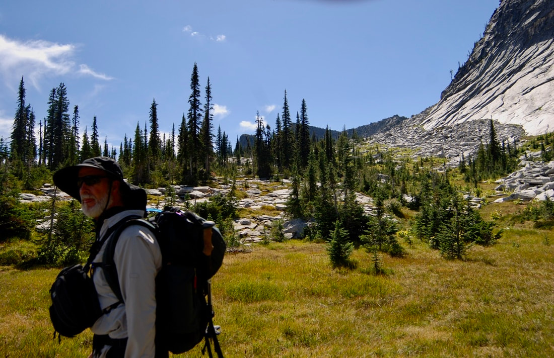
CHRIS ADMIRING THE MEADOWS BETWEEN HARRISON & LITTLE HARRISON LAKES
THE MEADOWS BELOW THE CREST, WITH HARRISON PEAK ON BACK RIGHT
THE CREW POSING BELOW THE SELKIRK CREST, IN THE MEADOWS
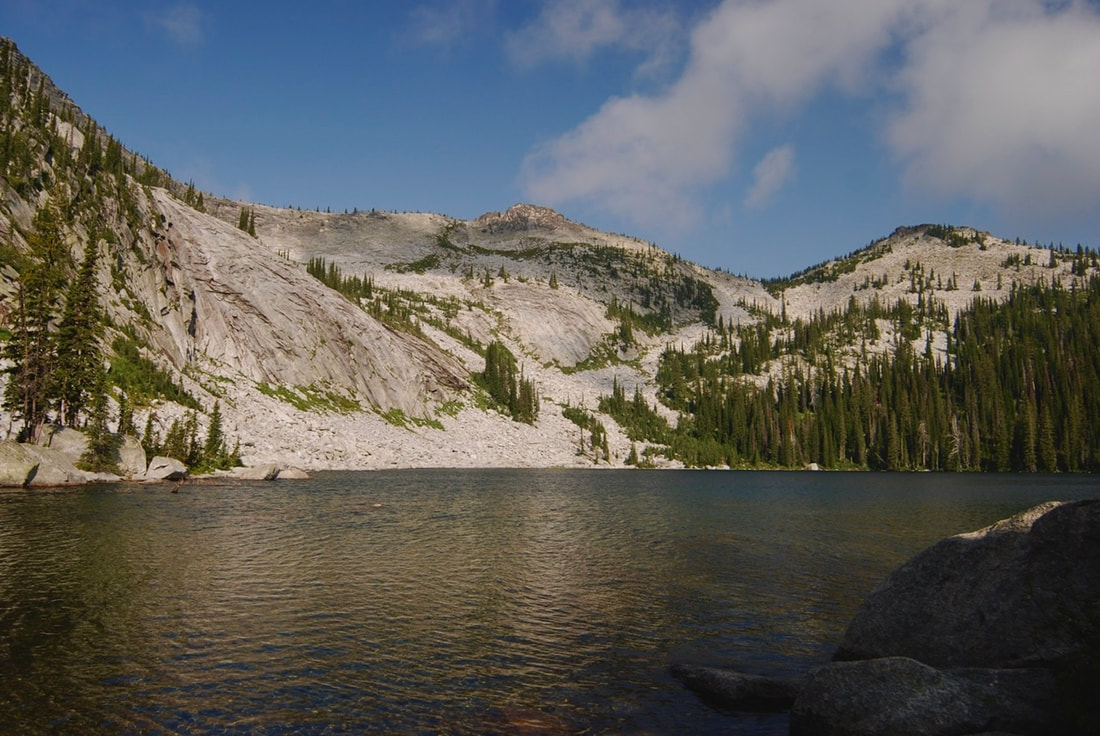
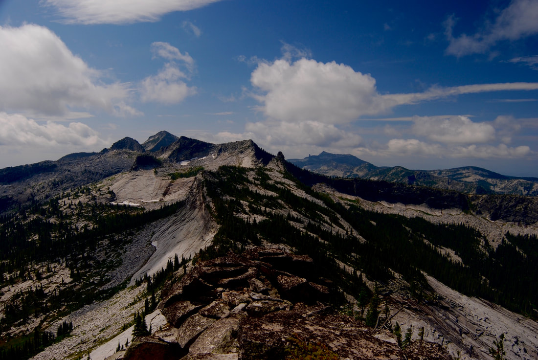
THE SELKIRK CREST WITH PEAK 7171’ ON RIGHT
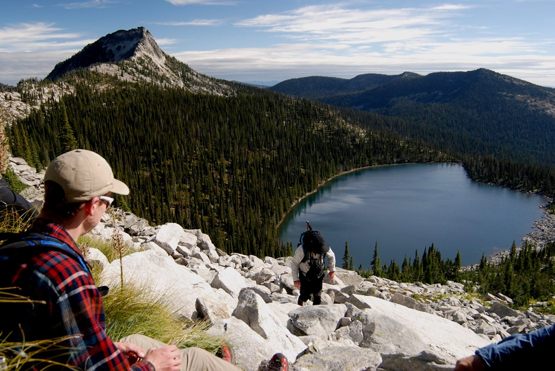
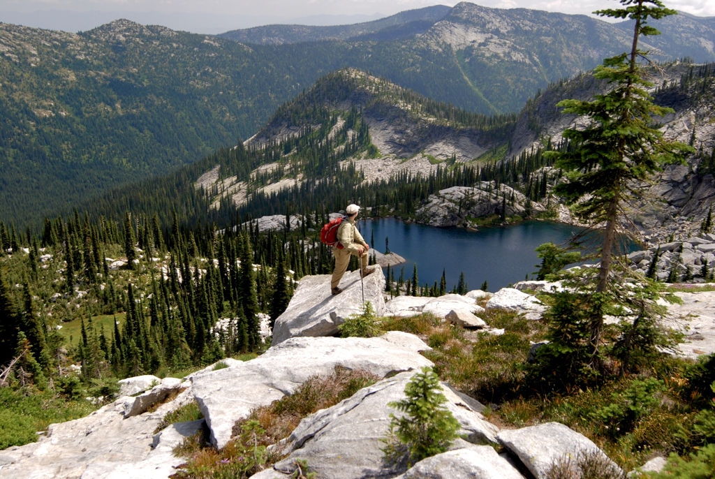
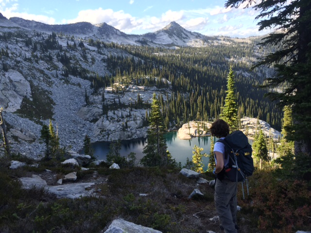
THE GURU OF HIKING, RICH TAKING IN THE VIEWS ABOVE LITTLE HARRISON LAKE
THE FINAL DROP DOWN TO LITTLE HARRISON LAKE
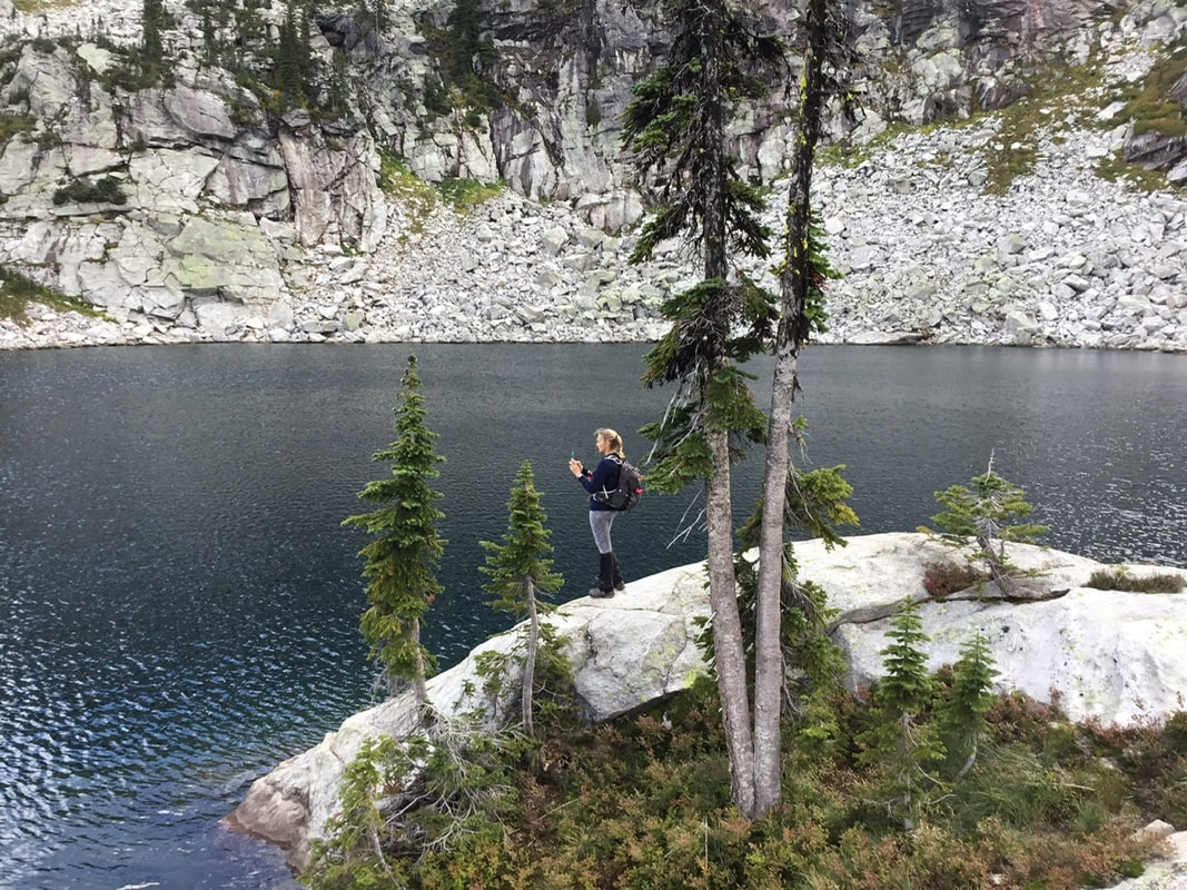
AMY TAKING AN IMAGE OF LITTLE HARRISON LAKE
TAKING A BREAK BEFORE THE SCRAMBLE UP TOP RIGHT
LITTLE HARRISON LAKE PHOTO BY JENNIFER STONE
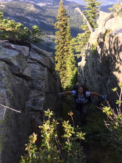
A HIKER SCRAMBLING UP THRU THE ROCKS
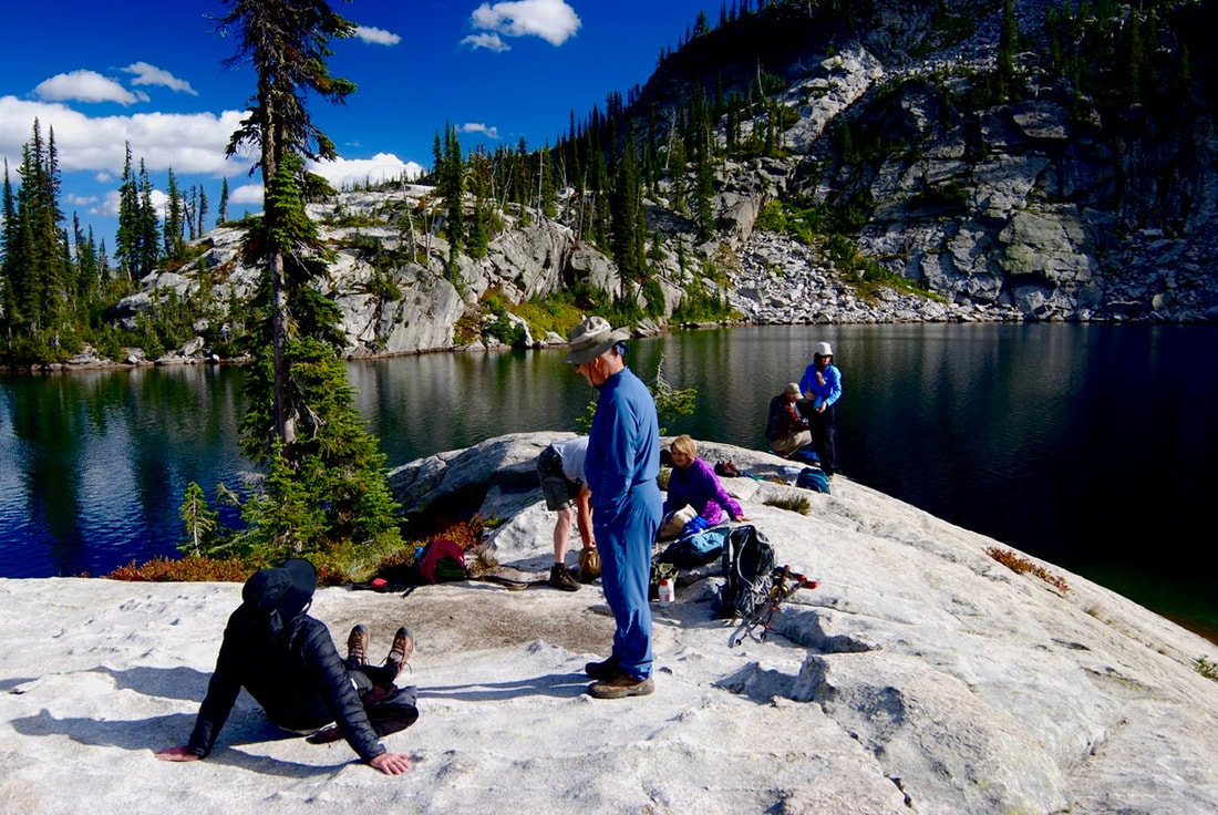
THE CREW MAKING GEAR CHANGES ON THE ASCENT ABOVE LITTLE HARRISON LAKE
LITTLE HARRISON LAKE LOWER LEFT, AND HARRISON PEAK IN BACKGROUND
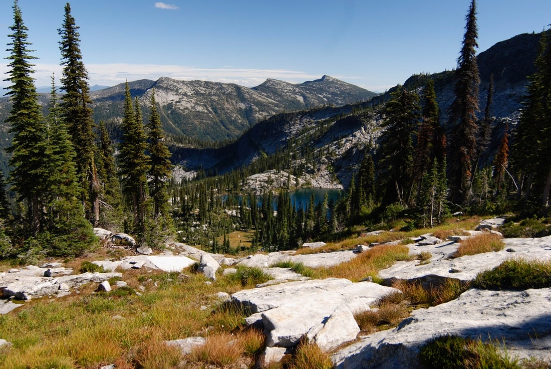
THE SELKIRK CREST FROM THE RIDGE TO BEEHIVE LAKE
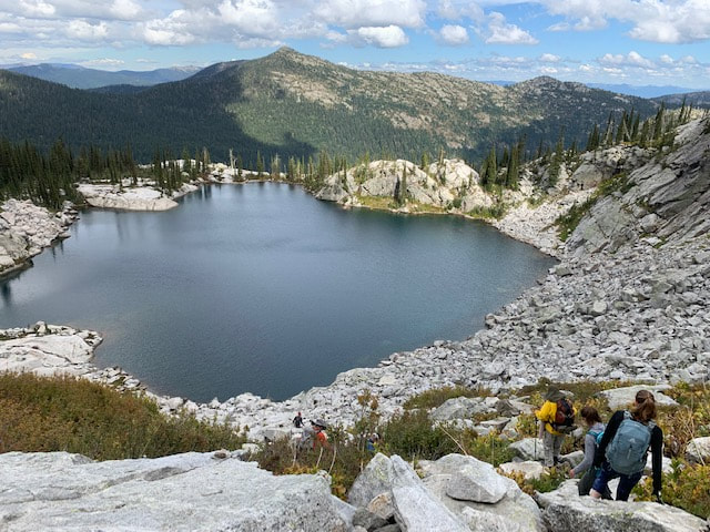
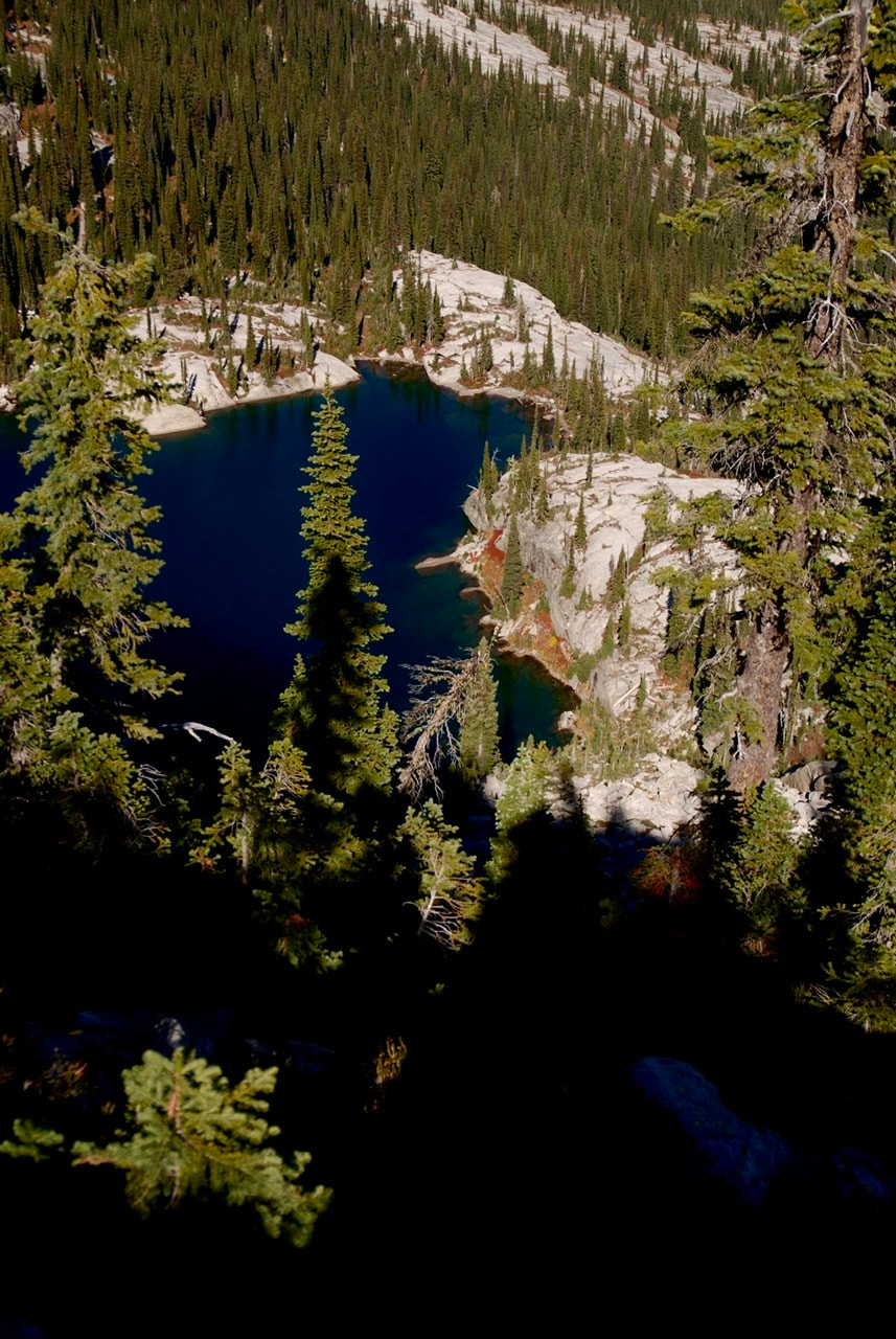
LITTLE HARRISON LAKE FROM RIDGE BETWEEN BEEHIVE AND L.H.L.