EVENT TYPE: Hiking, backpacking & scrambling DISTANCE: About 9.2 miles RT ELEVATION GAIN: To Beehive L 2041’ + 264’ to ridge between. Drop 475’ to L.H.L. DIFFICULTY: Moderate to Beehive Lake, Difficult to Little Harrison Lake MAPS: IPNF-Kaniksu N.F., The Wigwams GPS: 48°39’41”N 116°39’18”W RANGER DISTRICT: Sandpoint R.D. 208.263.5111 BONNER COUNTY SHERIFF: 911 or 208.263.8417
DESCRIPTION:
WE HAVE ADDED THE AREAS SHERIFF’S EMERGENCY PHONE NUMBERS FOR EACH TRIP WRITE UP UNDER THE RANGER DISTRICT INFO. IF AN EMERGENCY OCURRS, EVALUATE YOUR CIRCUMSTANCES AND CALL ONLY IF NEEDED. South Route To get to Little Harrison Lake, you must first hike to Beehive Lake on trial #279 for 4.5 miles. Take a moment to enjoy Beehive Lake before climbing the ridge to the right (N). There is a faint trail on the NE end of the lake that heads north up and over the ridge. Carefully descend the ridge to the right (east) end of Little Harrison Lake. There is a trail around the lake to the flat granite slabs. Above the lake is a nice waterfall that feeds the lake and offers great sound effects in the spring. Above the falls is the location of a plane crash that 4 people walked away from it. The background to the west is the famous American Selkirk Crest and most of the Seven Sisters, including the Twins. To the north is a high meadows that leads to Harrison Lake and Peak. Retrace your steps back up the ridge and over to Beehive Lake and trail.
North Route From Harrison Lake, scramble the back wall to the crest, and turn left (south). Peak 7171' is the first peak along the crest. Continue south on the Selkirk Crest for up to 4 summits. The forth summit is impossible to descend without ropes, so come back to a saddle and work your way down to the high meadows. Spend some time in the meadows as you walk over to Little Harrison Lake. It's a magical meadows. Once at the lake, spend some time before scrambling the ridge to Beehive Lake, or retrace your steps back to Harrison Lake. If you choose to go over the ridge to Beehive Lake, its 4.5 miles to the trailhead, and about a mile to the Harrison Lake trailhead.
DIRECTIONS:
From Sandpoint drive north on 95 to Samuel. Turn left (west) on to the Pack River Road #231 for 19 miles to Beehive Lake trailhead, or 20 miles to the Harrison Lake trailhead.
HAZARDS:
South Route From Beehive Lake the scrambling is serious but doable.
North Route From Harrison Lake the scramble up to the Crest, and over to L.H.L., requires care and endurance. But you will find this traverse will become a lifetime memory.
COOL THINGS CLOSE BY:
Fault Lake, the Kootenai National Wildlife Refuge, the Purcell Trench, Sandpoint, and the Pend Orielle Lake.
R & P:
Jalapeños, Mr, Sub, Eichardt’s in Sandpoint
PHOTO GALLERY
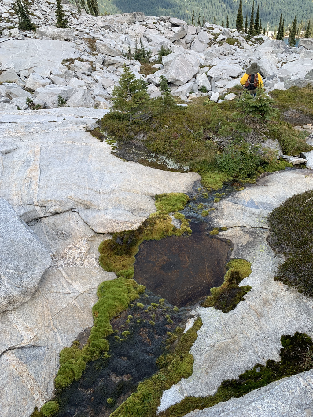
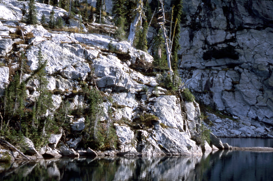
AN ISLAND OF GREEN AMONGST THE GREY OF SELKIRK GRANITE PHOTO BY JENNIFER STONE
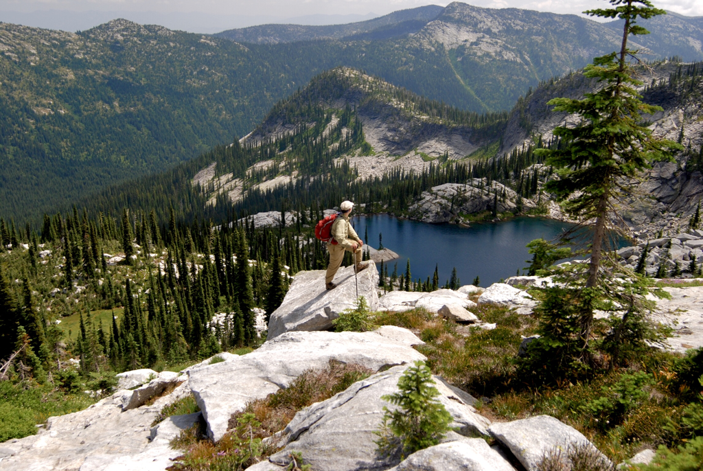
SUPER TRAIL HERO RICH LANDERS POSING ABOVE LITTLE HARRISON LAKE
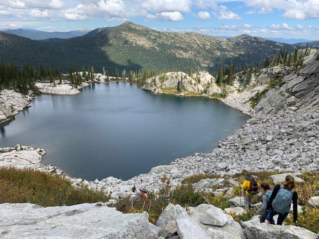
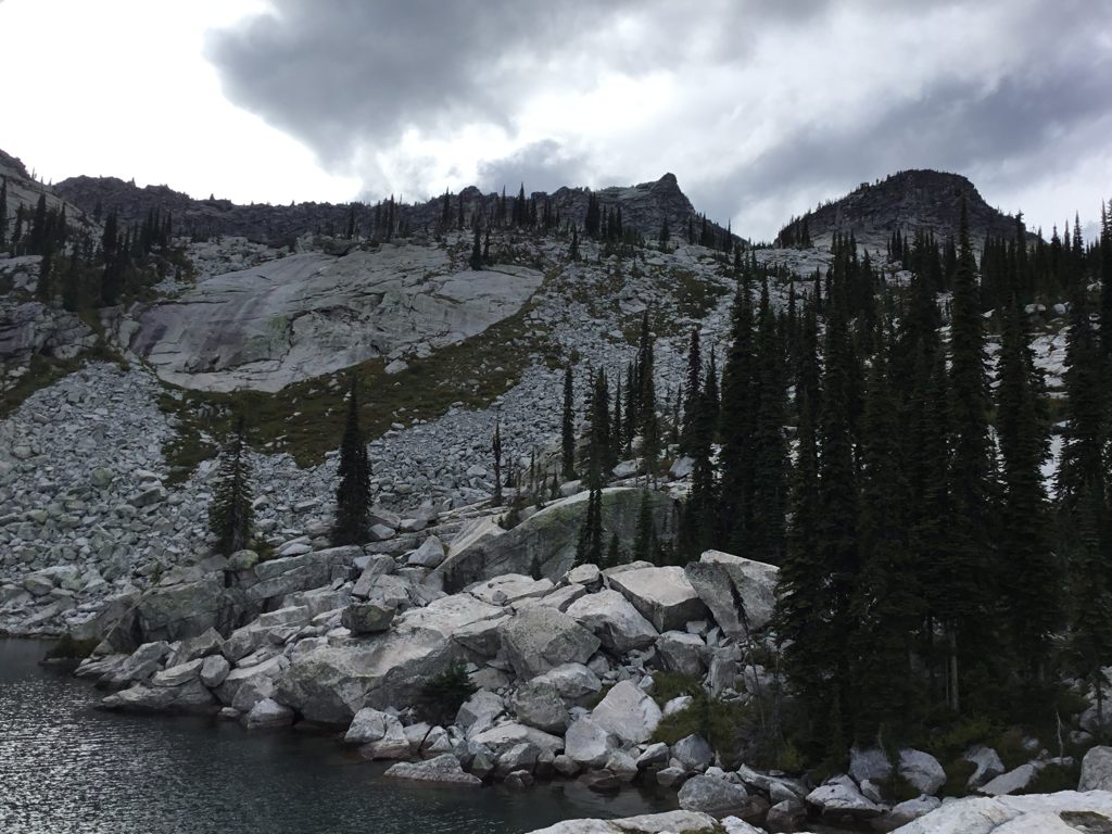
THE DESCENT ROUTE, TOP RIGHT TO BOTTOM MIDDLE
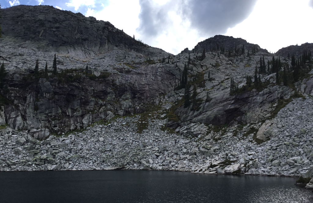
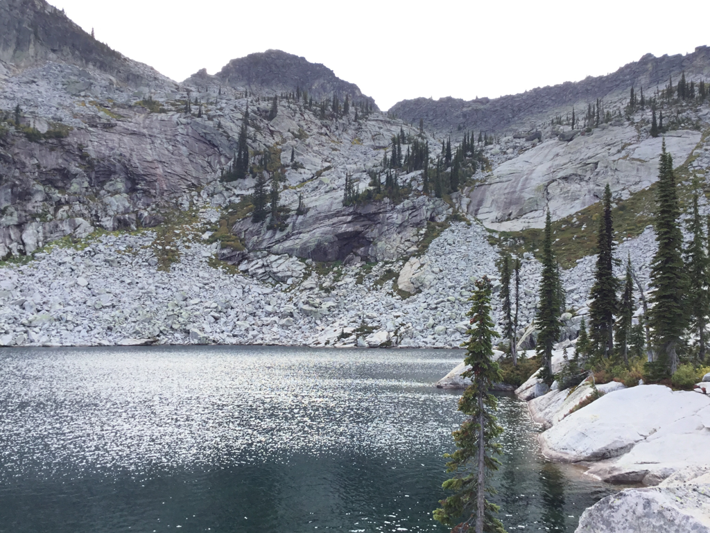
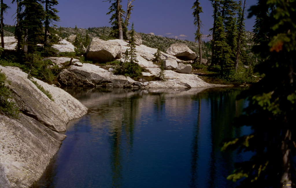
THE WEST, OR BACK SHORE LINE OF LITTLE HARRISON LAKE
THE NORTH TWIN AND L.H.L. NORTH SHORE LINE
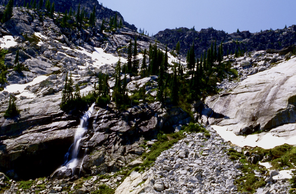
A SPRING WATERFALL ABOVE THE LITTLE HARRISON LAKE
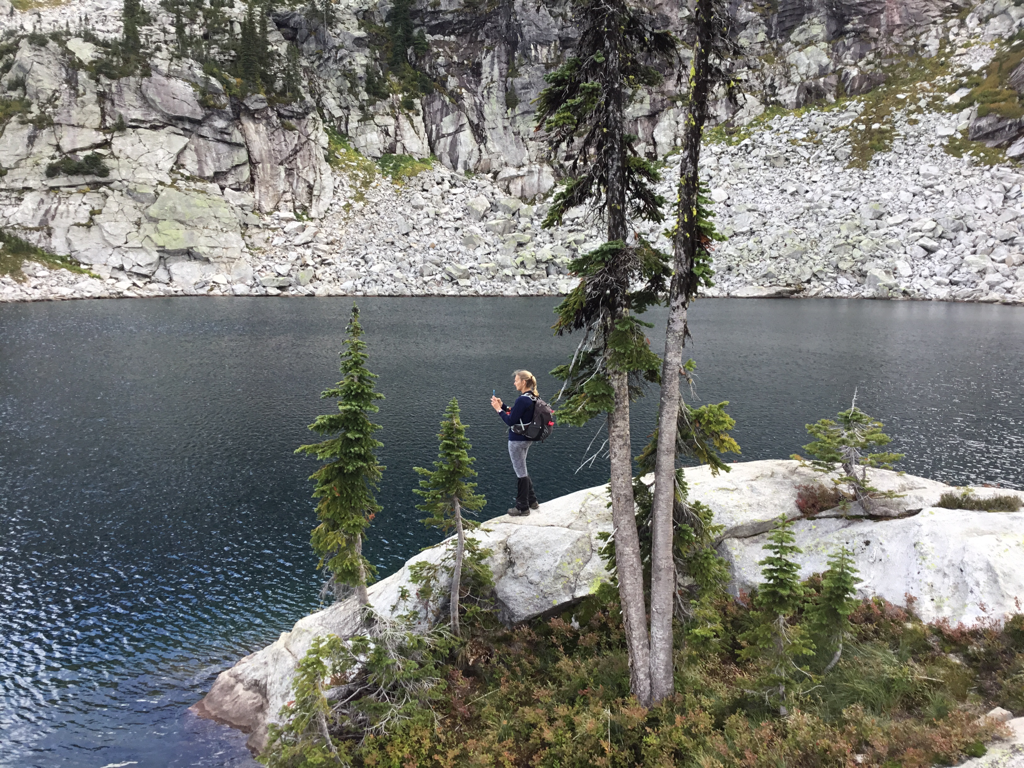
AMY TAKING AN IMAGE OF LITTLE HARRISON LAKE
THE S.E. SHORE OF LITTLE HARRISON LAKE
THE NORTH EAST SHORE LINE OF LITTLE HARRISON LAKE
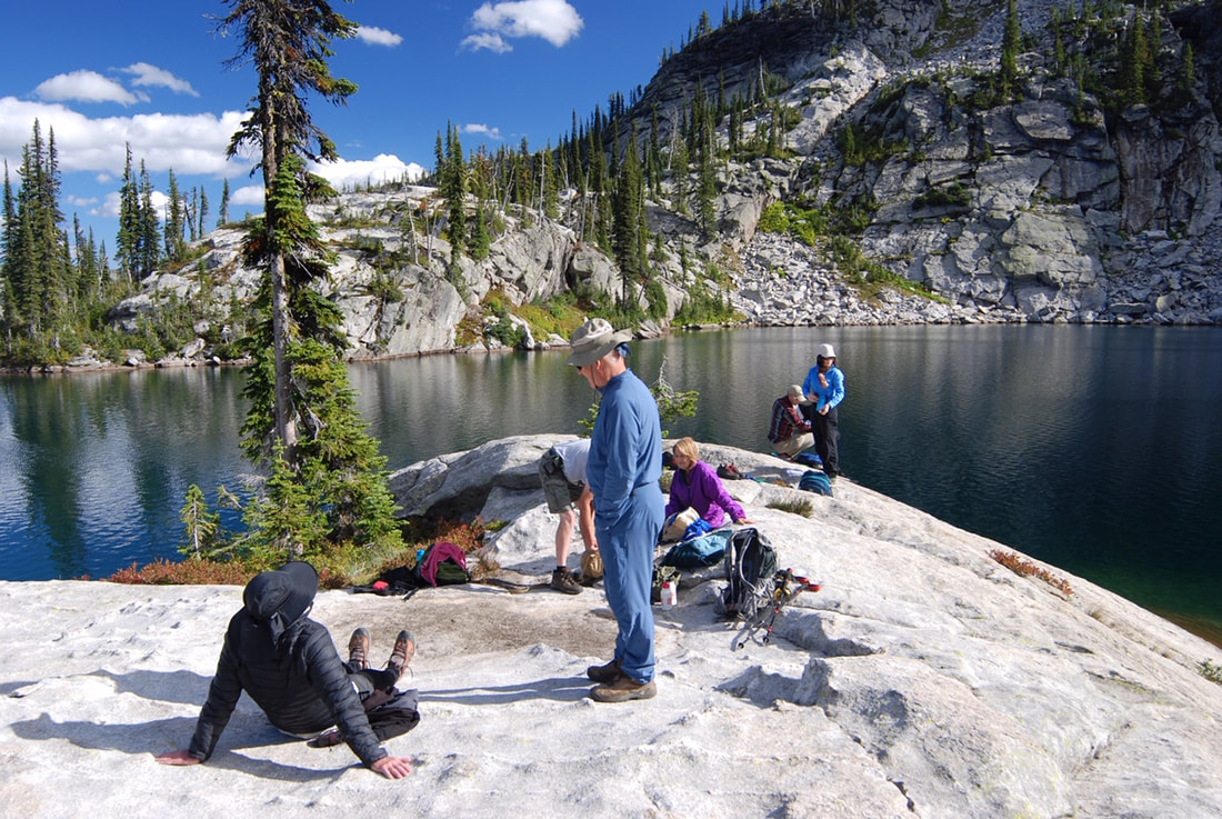
THE HIKING CREW, TAKING A BREAK AT L.H.L.
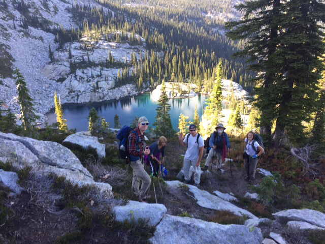
THE HIKING CREW ADJUSTING GEAR ON THE ASCENT UP FROM L.H.L.