GYPSY PEAK TRAIL #435
SALMO-PRIEST WILDERNESS
EVENT TYPE: Day hiking, backpacking, and equestrian
DISTANCE: 6.5 miles RT
ELEVATION: 1750’
DIFFICULTY: moderately difficult
MAPS: Colville N. F., Salmo-Priest Wilderness, Gypsy Peak Topo
GPS: Trailhead 48°55’ 04” N 117°08’ 37” W
MANAGING AGENCY: Sullivan Lake R.D. 509.446.7500
PEND ORIELLE COUNTY SHERIFF: CALL 911 FIRST or 509.447.3151
DISTANCE: 6.5 miles RT
ELEVATION: 1750’
DIFFICULTY: moderately difficult
MAPS: Colville N. F., Salmo-Priest Wilderness, Gypsy Peak Topo
GPS: Trailhead 48°55’ 04” N 117°08’ 37” W
MANAGING AGENCY: Sullivan Lake R.D. 509.446.7500
PEND ORIELLE COUNTY SHERIFF: CALL 911 FIRST or 509.447.3151
DESCRIPTION:
Because of the distance and the road to the trailhead, I would suggest you drive to the trailhead the night before. There are several places to pitch a tent.
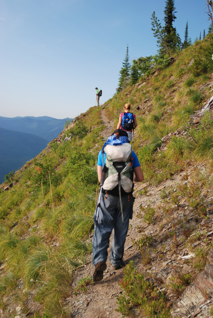
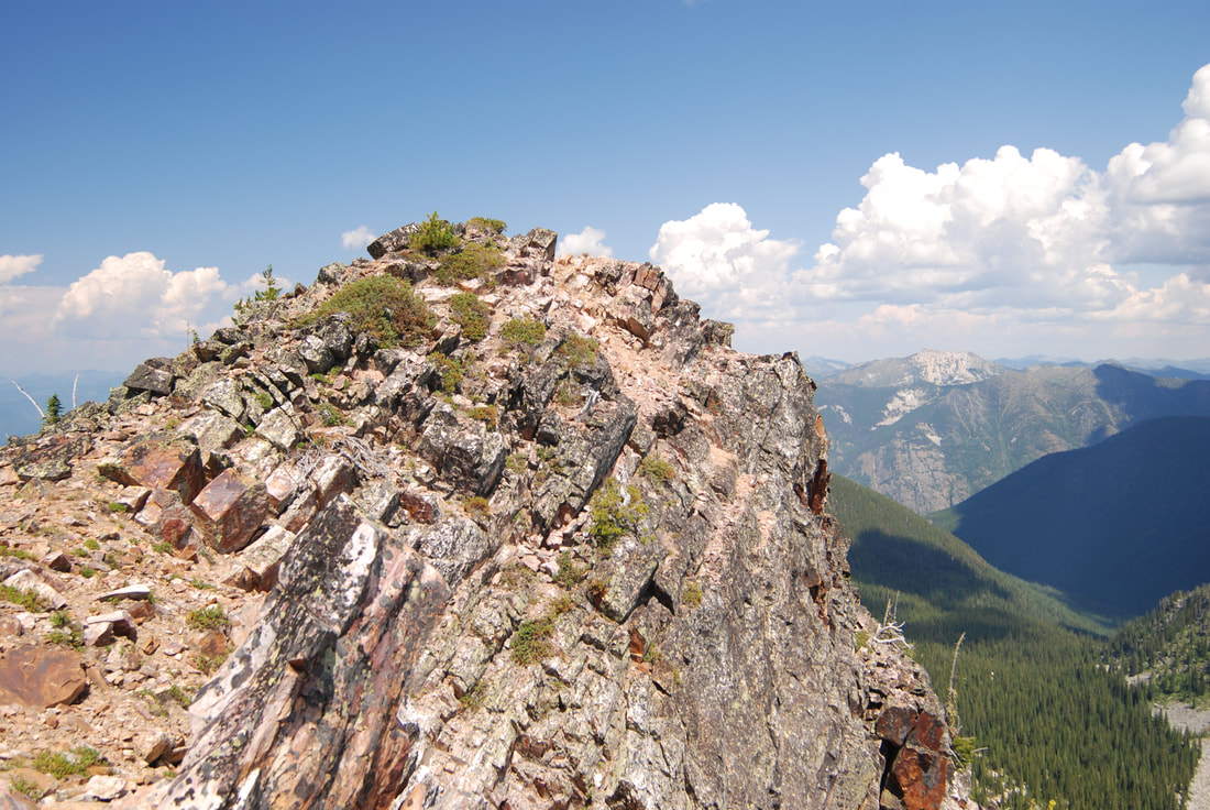
The next morning, the hike westish on the Crowell Ridge Trail #515 for about a mile to the Salmo-Priest Wilderness. There are 5 switchbacks to the ridge. Once on the ridge, the views of the Crowell Ridge and several adjoining ridges are spectacular.
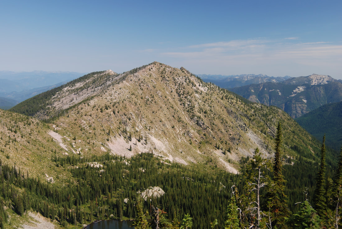
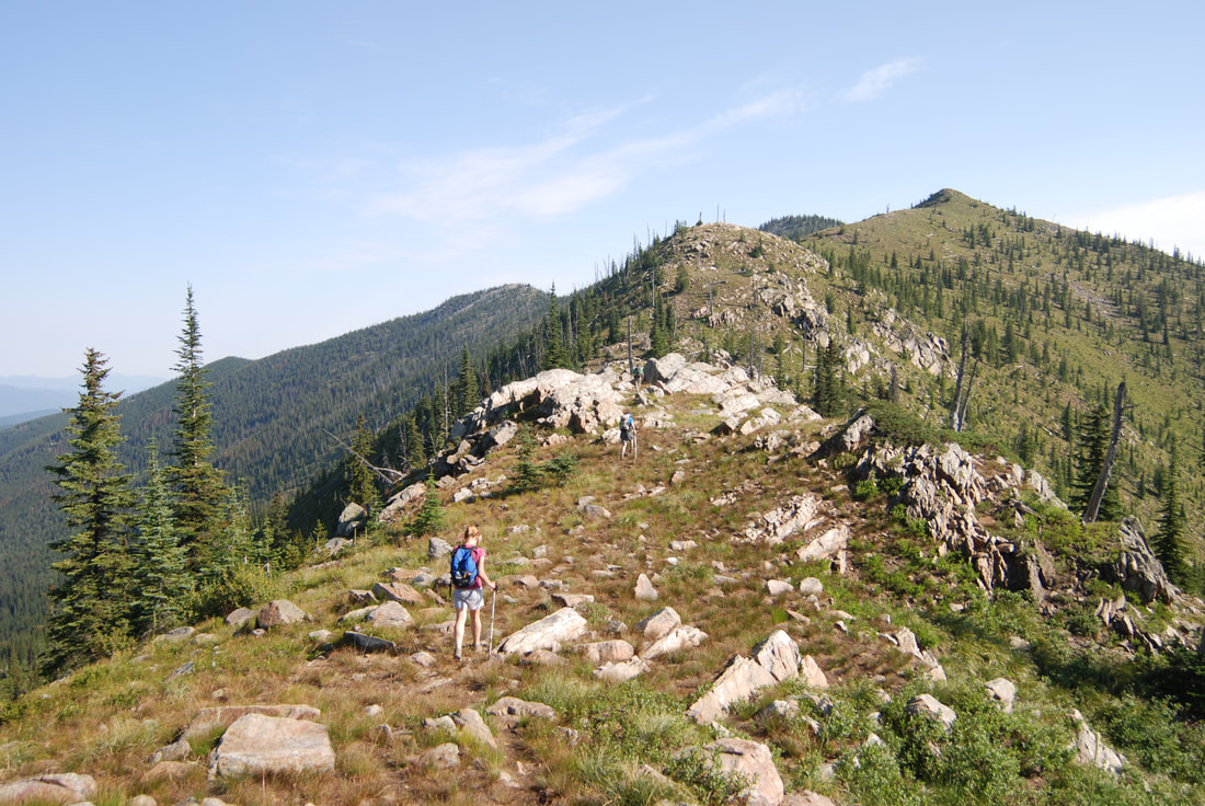
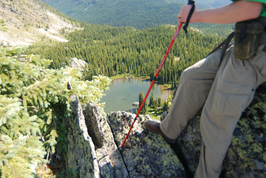
At this point, turn right (north) and find your way along the ridge towards Gypsy Peak. Something I noticed was the many false summits to Gypsy. Most of the trail is just walking the Crowell Ridge with little or no actual trail. Soon Watch Lake will appear below you on your right. There is a primitive camp site along the ridge above Watch Lake.
The route skirts the prominence above the lake on the right (east) side, and descends slightly to a saddle just before the final false summit to Gypsy Peak. As you near the last prominence, Gypsy Peak sits north, hidden slightly from view. Summit the last prominence and hike over to the summit of Gypsy Peak at 7000’ in a short distance. It’s a rocky summit that offers views all around.
Retrace your steps back to the trailhead.
There are no water sources along Crowell Ridge, so carry all you need.
You can drop down to Watch Lake, if you run out of water.
DIRECTIONS:
On S.R. (Hwy) 20 just north of Cusick, turn north on S.R. #31 for a little over 3 miles towards Ione. Turn right on the Sullivan Lake Road (C.R #9345) over the Pend Orielle River and turn left (north) towards Sullivan Lake and the Noisy Creek Campground at a little over 7 miles.
Then drive 4.5 miles along the Sullivan Lake road. Turn right onto F.R. #22, and drive 6 miles and bear left at the junction onto F.R. #2220.
Drive 1.5 miles and bear left onto F.R. 2212. Drive 4.6 miles to the trailhead and the road end. The trailhead sits at 5560’.
Then drive 4.5 miles along the Sullivan Lake road. Turn right onto F.R. #22, and drive 6 miles and bear left at the junction onto F.R. #2220.
Drive 1.5 miles and bear left onto F.R. 2212. Drive 4.6 miles to the trailhead and the road end. The trailhead sits at 5560’.
COOL THINGS CLOSE BY:
Crowell Ridge South, Sullivan Lake & the shore line trail, Elk Creek Falls, Hall Mountain, Salmo River, Shedroof Divide, Thunder Creek & Mountain, Mankato Mountain ( Shedroof Divide), Grassy Top Mt., and the Roosevelt Grove of Ancient Cedars.
HAZARDS:
There is no water on this hike from shortly after leaving the trailhead, except at Watch Lake. Be aware, it’s several hundred rugged feet down to the lake. I often take extra water on my, out and back hikes, and leave a bottle at key locations, so I don’t have to carry it all the way.
However, mark your stash spot well.
The “trail” along Crowell Ridge is faint in some areas, but knowing you stay on the ridge top all the way, with some prominences to skirt, it’s a straight forward hike.
However, mark your stash spot well.
The “trail” along Crowell Ridge is faint in some areas, but knowing you stay on the ridge top all the way, with some prominences to skirt, it’s a straight forward hike.
R & P:
NA
