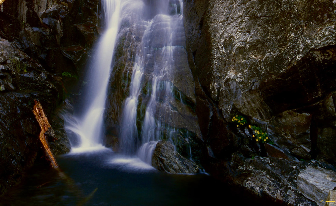
ROCK CREEK FALLS
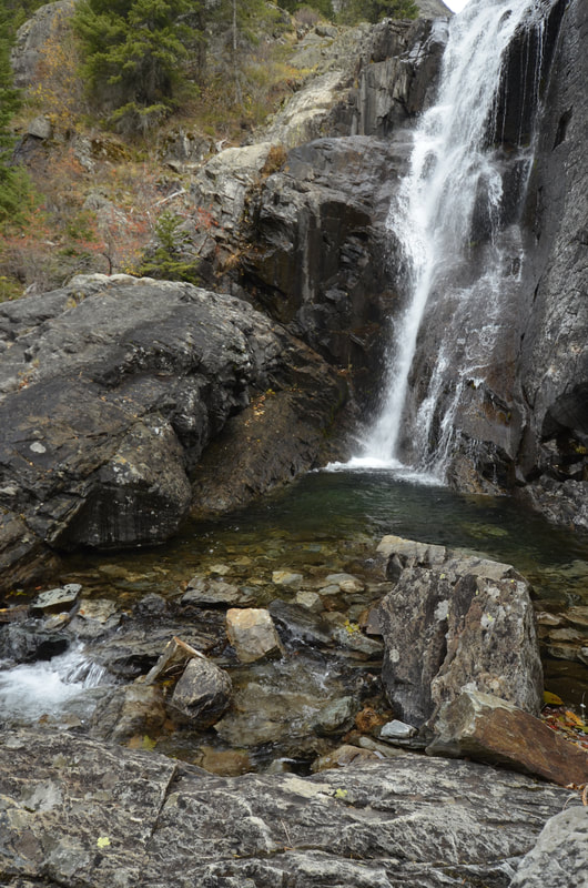
WATERFALL : Rock Creek Falls Trail #935
DROP: About 40'
WATERFALL TYPE: Slider
DISTANCE CAR TO FALLS: 2.5 miles
MAPS: Kootenai N.F., Cabinet Ranger District 406.827.3533 Elephant Perak, Howard Lake topos
GPS: Trailhead 48°02’?24” N 115°40’47” W. Rock Lake 48°03'33' N 115°37'41' W
DROP: About 40'
WATERFALL TYPE: Slider
DISTANCE CAR TO FALLS: 2.5 miles
MAPS: Kootenai N.F., Cabinet Ranger District 406.827.3533 Elephant Perak, Howard Lake topos
GPS: Trailhead 48°02’?24” N 115°40’47” W. Rock Lake 48°03'33' N 115°37'41' W
DESCRIPTION:
Although Rock Lake is 4.2 miles in, it offers many reasons to visit it.
The trail along Rock Creek has several tributaries that are sometimes difficult to cross in spring and early summer.
In about .6 miles is an old mining camp with several building to explore.
At a little over 3 miles, off to your right (S) is the Rock Creek Meadows. The trail has climbed about750 verts to here.
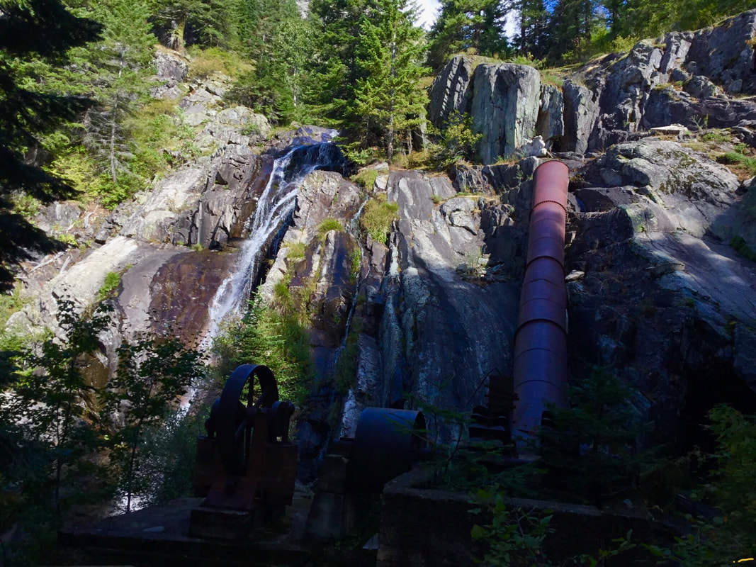
In about .5 miles, the trail starts its ascent towards Rock Lake. In about .5 miles further, you will come to the Heidelberg mine site and Rock Creek Falls.
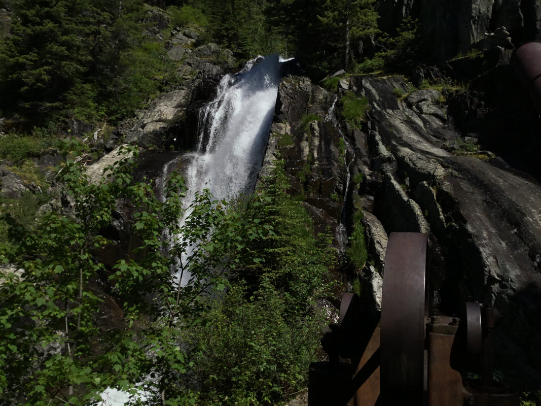
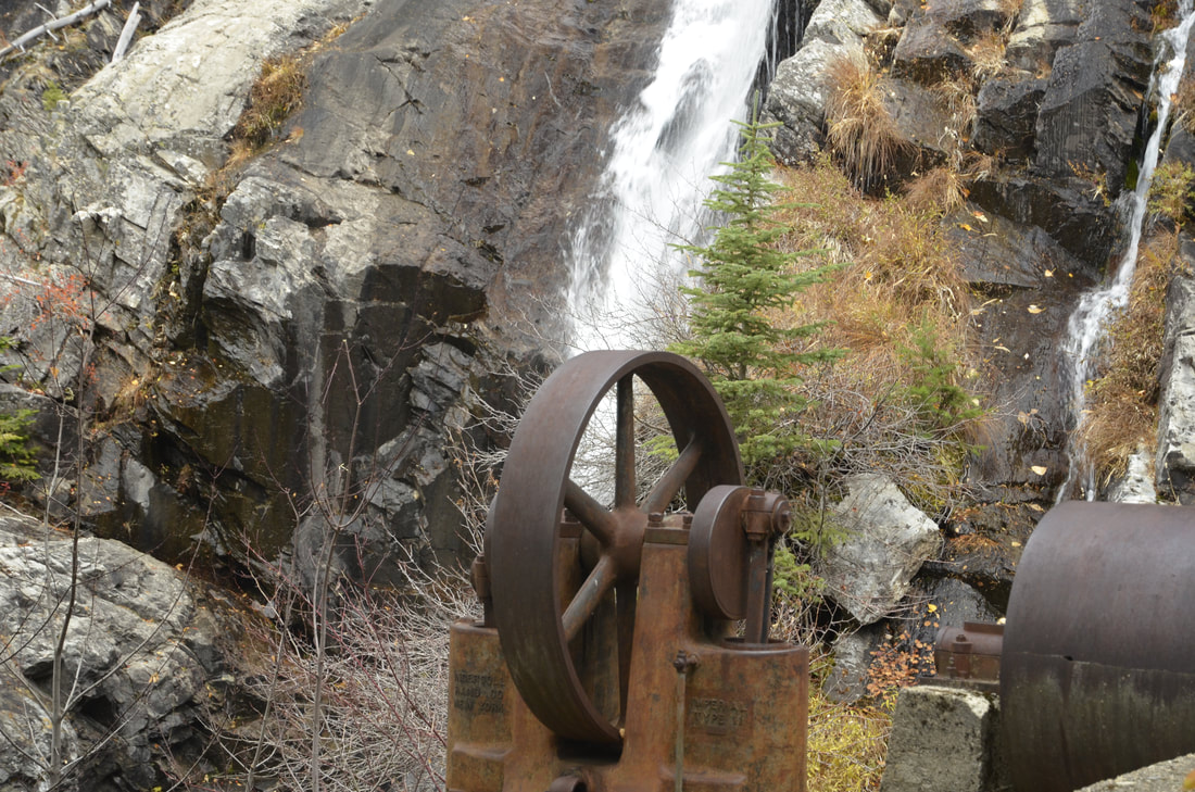
As you approach the falls, take notice of the trail to Rock Lake on your right (NE). Stop a while here and photograph the Falls, and wonder just what all this machinery was for.
In less then a mile, you see Rock Lake for the first time. Walk the level trail out to a pennisula.
You are now at the SE end of Rock Lake.
OPTION #1:
To further your hike, walk the left (SW) side of the lake all the way back to its NW end.
If you are very ambitious, continue up the valley above the lake to St. Paul Pass. If you were to continue over the pass, it will take you to St. Paul Lake.
If you are very ambitious, continue up the valley above the lake to St. Paul Pass. If you were to continue over the pass, it will take you to St. Paul Lake.
DIRECTIONS:
From Sandpoint, drive east on Hwy 200 towards Clark Fork and the Idaho Montana border. In Clark Fork there is a great little store, Clark Fork Pantry you can buy sandwiches, Cookies, and bulk foods.
Continuing east on 200, in about 18 miles just pass a bridge over the railroad tracks to a left (NE) turn onto F.R 150.
Drive .3 miles under the power lines and bear right onto F.R. 150. Follow this road for 5.3 miles to F.R.150 A, and turn right onto the East Fork Rock Creek Road.
The road becomes rough here, so if your car has lower clearance, park here. If you have high clearance, continue for another mile to a gated trailhead.
COOL THINGS CLOSE BY:
Rock Peak, Ojibway Peak, Libby Lakes, Elephant Peak, Scotchmans Peak, and the Clark Fork River
HAZARDS:
This Waterfall hold little dangers, unless you climb on the old mining equipment.
But just to be safe, use caution around the falls.
But just to be safe, use caution around the falls.
R & P:
The Clark Fork Pantry, and the Squeeze Inn (not open in the winter).
PLAN YOUR TRIP:
Click for Current NOAA Weather Conditions
