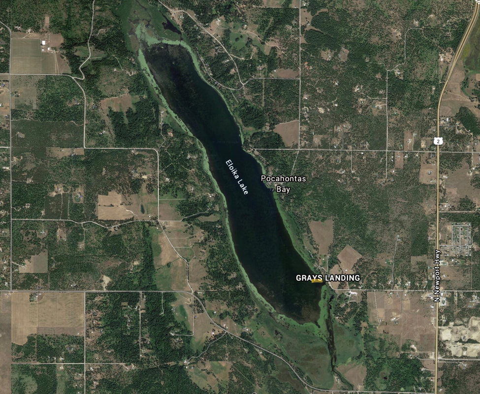
ELOIKA LAKE LAUNCH
PADDLE DISTANCE: 5.6 mile loop
ELEVATION: 1905’
LENGTH AND ACREAGE: 2.25 miles long and 659 acres.
MAPS: W.D.F. & G., Pend Orielle County
LAUNCH GPS: 48°01’06”N 117°23’01” W
SPOKANE COUNTY SHERIFF: 509.477.2240
ELEVATION: 1905’
LENGTH AND ACREAGE: 2.25 miles long and 659 acres.
MAPS: W.D.F. & G., Pend Orielle County
LAUNCH GPS: 48°01’06”N 117°23’01” W
SPOKANE COUNTY SHERIFF: 509.477.2240
DESCRIPTION:
WE HAVE ADDED THE AREAS SHERIFF’S EMERGENCY PHONE NUMBERS FOR EACH TRIP WRITE UP UNDER THE RANGER DISTRICT INFO. IF AN EMERGENCY OCURRS, EVALUATE YOUR CIRCUMSTANCES AND CALL ONLY IF NEEDED.
Eloika Lake is a long narrow lake that is lined with algae blooms all around it.
Eloika Lake is a long narrow lake that is lined with algae blooms all around it.
ATTRACTIONS
NA
DIRECTIONS:
Drive Hwy 2 past the Milan crossroad for 3.2 miles and turn left (W) onto E. Bridge Road to Grays Landing.
COOL THINGS CLOSE BY:
Loon Lake, Deer Lake, Horseshoe Lake, Sacheen Lake, and Diamond Lake.
R & P:
NA


