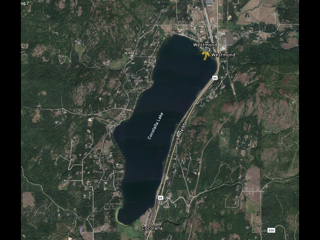
COCOLALLA ACCESS LAUNCH
PADDLE DISTANCE: 5.3 mile loop
ELEVATION: 2212’
LENGTH AND ACREAGE: 2.3 miles long & 800 acres
MAPS: Cocolalla & Sage Topos
LAUNCH GPS: 48°08’18” N 116°36’1” W
KOOTENAI COUNTY SHERIFF: 208.446.1300
ELEVATION: 2212’
LENGTH AND ACREAGE: 2.3 miles long & 800 acres
MAPS: Cocolalla & Sage Topos
LAUNCH GPS: 48°08’18” N 116°36’1” W
KOOTENAI COUNTY SHERIFF: 208.446.1300
DESCRIPTION:
The launch is located on the north end of the lake, just off of Hwy 95.
If you paddle to the right, there is less highway noise, but the west shore has lots of houses.
If you paddle to the left, you will have more highway noise, but no houses r people. And maybe a place to swim.
If you paddle to the right, there is less highway noise, but the west shore has lots of houses.
If you paddle to the left, you will have more highway noise, but no houses r people. And maybe a place to swim.
ATTRACTIONS
Close to the highway for easy access.
DIRECTIONS:
Drive north of Coeur d’Alene for nearly 30 miles. You can’t miss the lake as you drive along side for a mile or so. Turn left (west) onto Cocolalla Loop Road, then left at the first road, Sportsman’s Access Road, which jogs right, then left to the launch.
COOL THINGS CLOSE BY:
Round Lake S.P., Talache Landing on P.O.L., the Pend Orielle River, Priest River and Morton Slough.
R & P:
Rustler’s Roost, Franklins Hoagies, Mexican Food Factory, the Moon Time, and Trails End Brewery.


