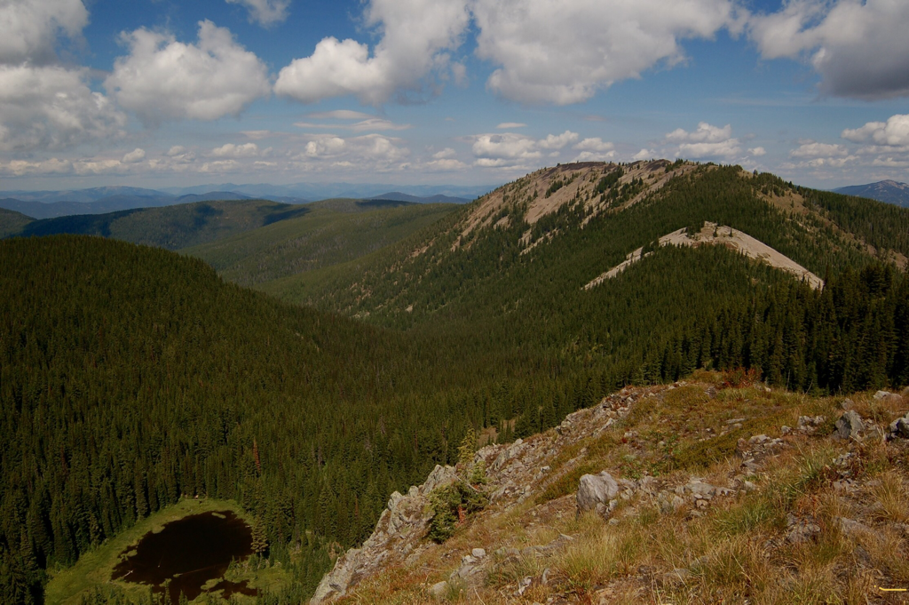
LOWER & UPPER ELSIE LAKES & STRIPED PEAK 6313’
EVENT TYPE: Dayhiking, backpacking, fishing, floating, ORVing
DISTANCE: From Elsie Lake to Striped Peak is about 6 miles RT
ELEVATION: 1289 verts
DIFFICULTY: Moderately easy
MAPS: IPNF, Wallace topo
GPS: Elsie Lake 47°25’42”N 116°01’24”W Striped Peak. 47°26’23”N 115°59’45”W
RANGER DISTRICT: CDA RIVER R.D. 208.769.3000
SHOSHONE COUNTY SHERIFF: CALL 911 FIRST or 208.556.1114
DESCRIPTION:
WE HAVE ADDED THE AREAS SHERIFF’S EMERGENCY PHONE NUMBERS FOR EACH TRIP WRITE UP UNDER THE RANGER DISTRICT INFO. IF AN EMERGENCY OCURRS, EVALUATE YOUR CIRCUMSTANCES AND CALL ONLY IF NEEDED.
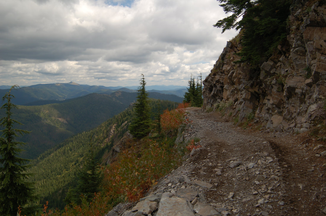
The most unfortunate thing about this old trail, National Recreation Trail #16, is, it is now an ORV trail.
The trailhead is on the east side of Elsie Lake, and basically heads SE for about two miles to N.R.T #16.
At this trail junction, be sure to look back, or take a picture, at the junction so on your return hike, you know where to turn down to Elsie Lake.
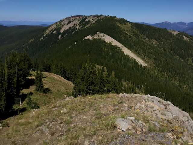
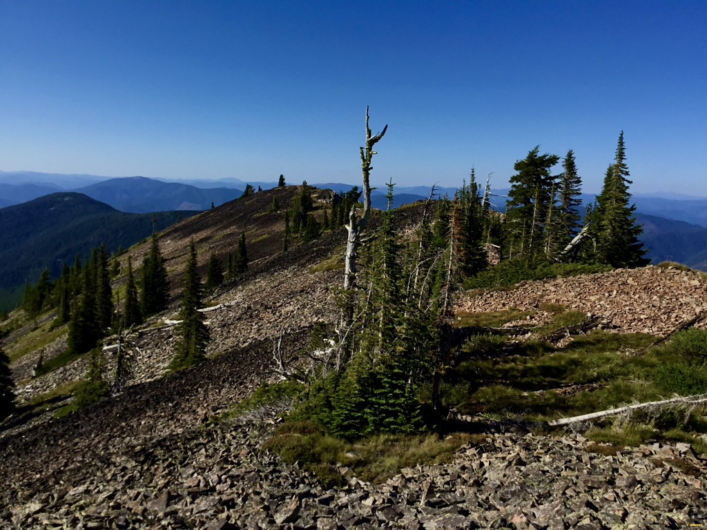
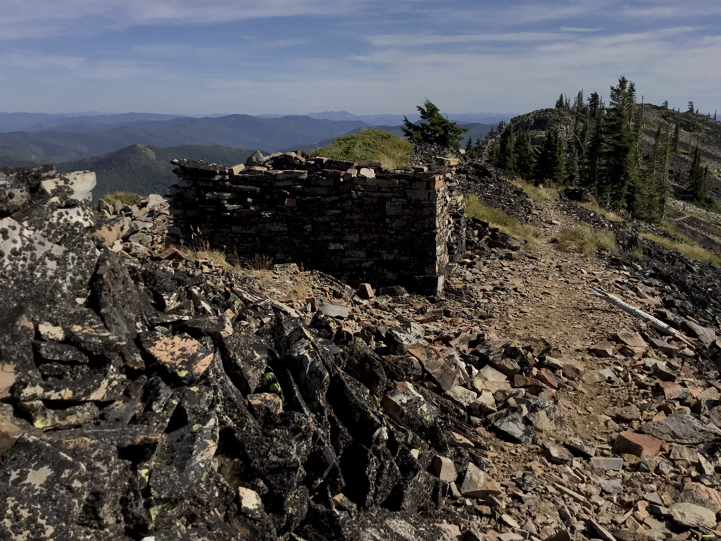
Once on N.R.Trail #16, head NE for about .3 of a mile and bear left up towards Striped Peak for a little less then a mile to its long summit. Walk north on the summit and see a rock/wind shelter someone built with great skill. Retrace your steps back to the lake.
WARNING
The first right walking back to Elsie Lake off of N.R.Trail #16 is not the road back to Elsie Lake. Walk about .4 miles to the next right turn and head down to Elsie Lake.
OPTION #1:
After summiting Striped Peak and hiking SW on Trail #16, do not turn down Trail #106. Instead, continue on N.R. Trail #16 for about two miles to an intersection with 4 roads up on a barren knoll. Take the ORV trail NW that skirts Elsie Lakes on their west side. This road is about 1 mile down to the Big Creek Road. Turn right and walk .5 of a mile back to Elsie Lake.
DIRECTIONS:
On I-90, turn right (south) onto the Big Creek Road #264. This exit is where the memorial for the 90+ miners that died in a tragic mining accident. Head due south up the Big Creek Road past the Sunshine Mine, where the road turns to dirt. Elsie Lake is about 13 miles up Road 264.
HAZARDS:
Watch and listen for ORV’s everywhere up Big Creek. Striped Peak has no ORV traffic.
COOL THINGS CLOSE BY:
Stevens Peak & Lakes, U. & L Glidden Lakes, Silver Mountain Resort, Graham Mountain, the Trail of the CDA’s, and the Route of the Hiawatha.
R & P:
Pizza Factory, 1313 Club, Brooks Hotel & Restaurant, City Limits Brew Pub, Fainting Goat, Smoke House BBQ & Saloon, Wallace Brewing Co.,mane Muchacho’s Tacos in Wallace. Radio Brewing in Kellogg. , The Snake Pit north of Kingston. And the Moon Time in CDA
