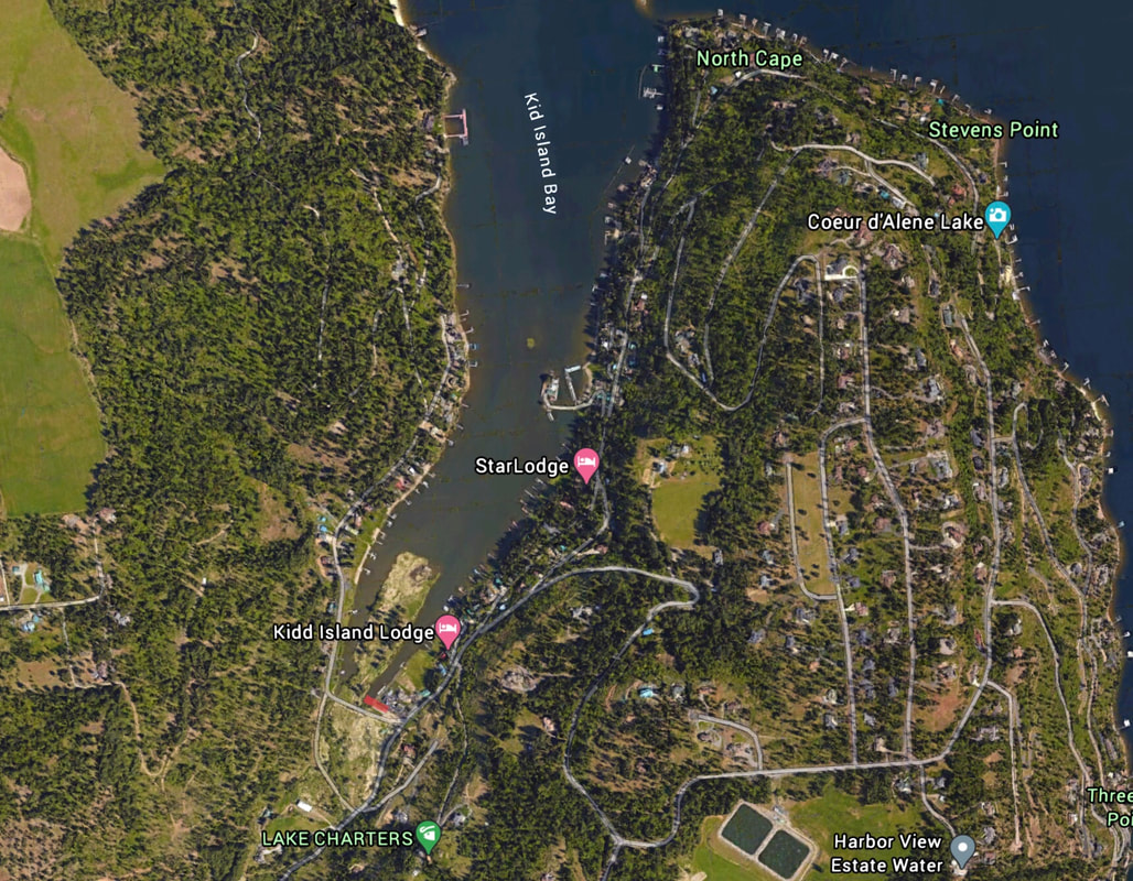
KIDD ISLAND BAY LAUNCH
PADDLE DISTANCE: varies
ELEVATION: 2128’
LENGTH AND ACREAGE: varies
MAPS: IPNF, Mica Bay topo
LAUNCH GPS: 47°37’58” N 116°48’22” W
KOOTENAI COUNTY SHERIFF: 208.446.1300
ELEVATION: 2128’
LENGTH AND ACREAGE: varies
MAPS: IPNF, Mica Bay topo
LAUNCH GPS: 47°37’58” N 116°48’22” W
KOOTENAI COUNTY SHERIFF: 208.446.1300
DESCRIPTION:
WE HAVE ADDED THE AREAS SHERIFF’S EMERGENCY PHONE NUMBERS FOR EACH TRIP WRITE UP UNDER THE RANGER DISTRICT INFO. IF AN EMERGENCY OCURRS, EVALUATE YOUR CIRCUMSTANCES AND CALL ONLY IF NEEDED.
The Kidd Island Bay Launch is at the base of Kidd Island Bay. As you leave the launch, paddle north up the bay to the moan body of Lake CDA.
As you get near the main body, look for Kidd Island. But beware, the island is private property.
The Kidd Island Bay Launch is at the base of Kidd Island Bay. As you leave the launch, paddle north up the bay to the moan body of Lake CDA.
As you get near the main body, look for Kidd Island. But beware, the island is private property.
ATTRACTIONS
Close to CDA for paddling, Kidd Island (private), and views of CDA.
DIRECTIONS:
From CDA and the Spokane River Bridge, drive south on 95 to Mica. Turn left (East) onto W. Kidd Island Road to a Y, and bear left staying on W. Kidd Island Road to S. Westway Drive. The launch is on your right as you turn onto S. Westway Drive.
COOL THINGS CLOSE BY:
Kidd Island (private), and Cougar Bay
R & P:
Trails End Brewery, Franklins Hoagies, Mexican Food Factory, and Moon Time.


