LOWER 4749’ & UPPER 5333’ GEIGER LAKES
EVENT TYPE: Hiking, backpacking, fishing, scenery, and photography.
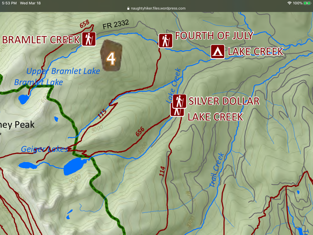
DISTANCE: To Lower Lake 4 miles RT, Upper Lake 6 miles RT, L.B.P. & Cabinet Divide Trail 8+RT miles.
ELEVATION GAIN: Lower Lake 1000 verts, Upper Lake 1600 verts
DIFFICULTY: Moderate
MAPS: Kaniksu N.F., Goat Peak Topo
GPS: 48°00’58” N 115°32’08” W
RANGER DISTRICT: Libby R.D. 406.293.7773
LINCOLN COUNTY SHERIFF: CALL 911 FIRST or 406.293.4112
DESCRIPTION:
WE HAVE ADDED THE AREAS SHERIFF’S EMERGENCY PHONE NUMBERS FOR EACH TRIP WRITE UP UNDER THE RANGER DISTRICT INFO. IF AN EMERGENCY OCURRS, EVALUATE YOUR CIRCUMSTANCES AND CALL ONLY IF NEEDED.
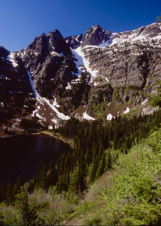
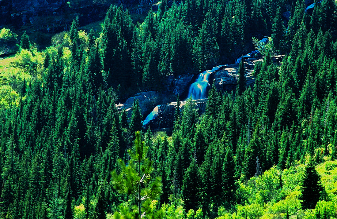
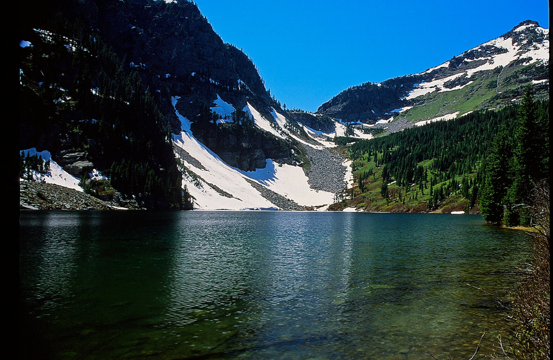
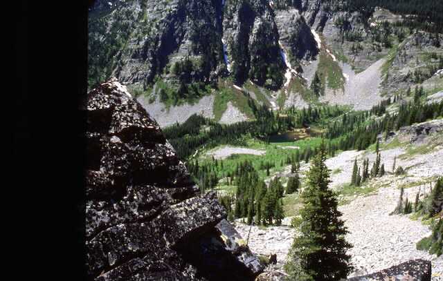
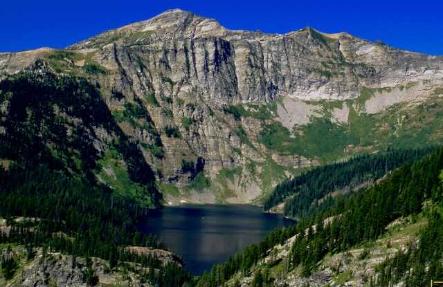
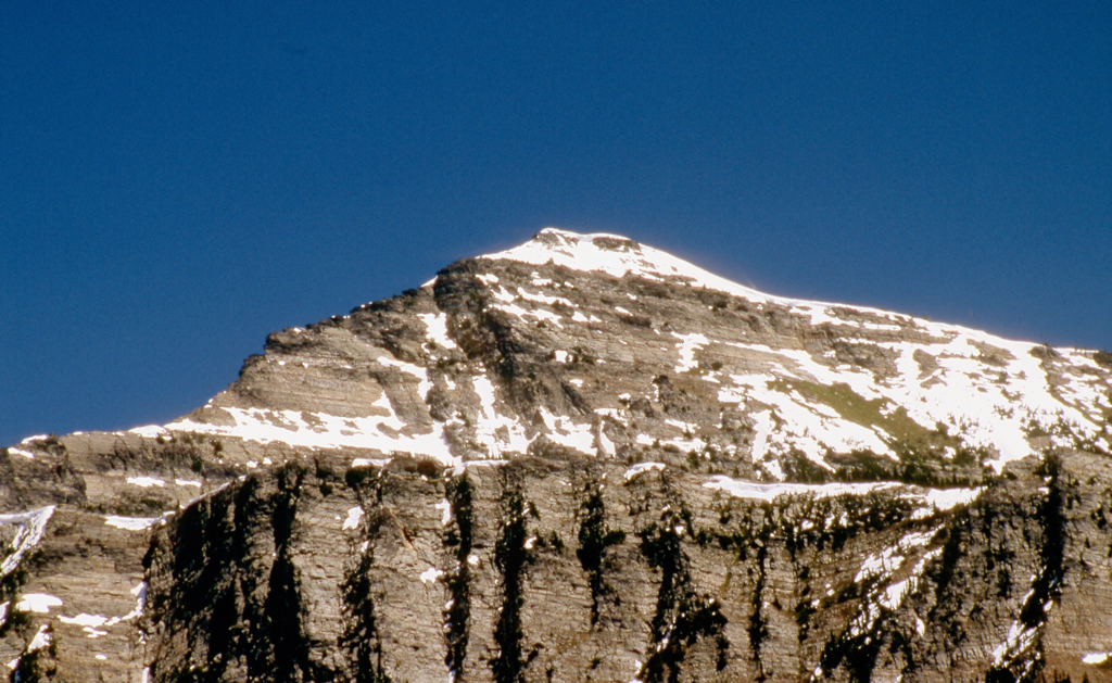
Trail #656 wonders thru a young forest for 2 miles to the lower lake. An unnamed peak fills the entire backdrop of the lake, and is stunning. After spending some time here, skirt the north end of the lake and hike a mile to the upper lake.
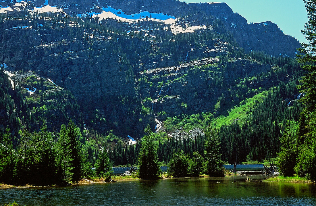
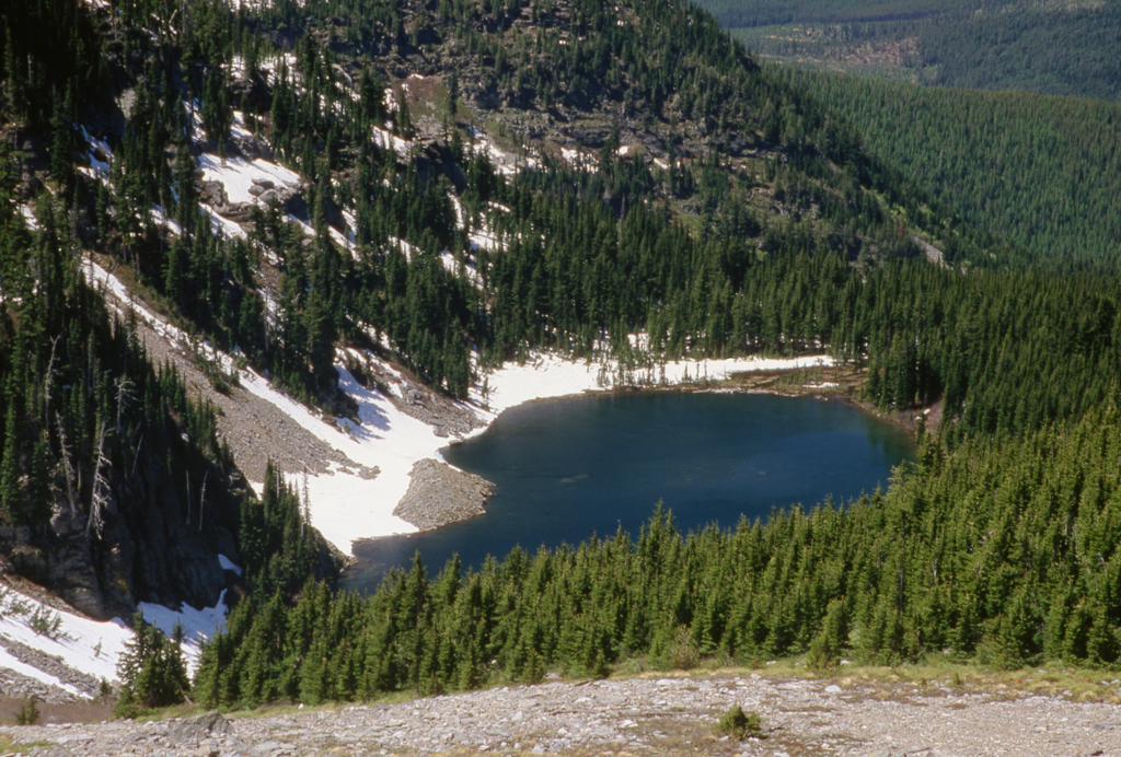
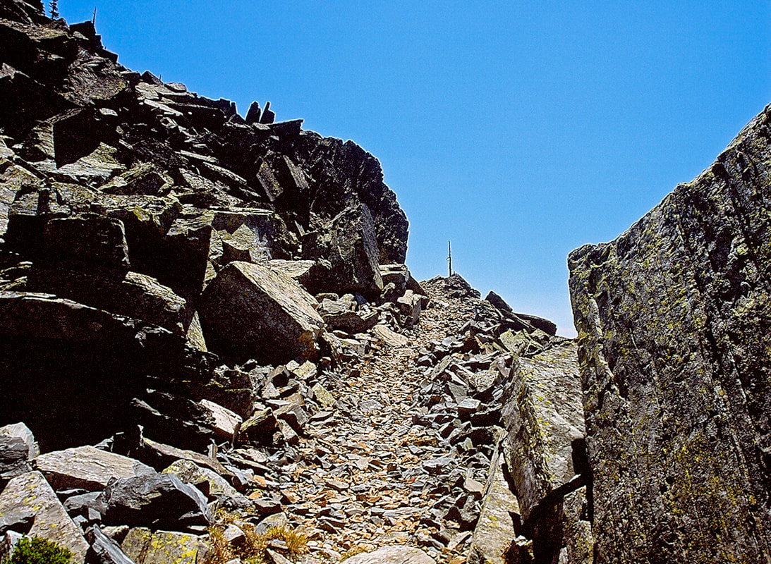
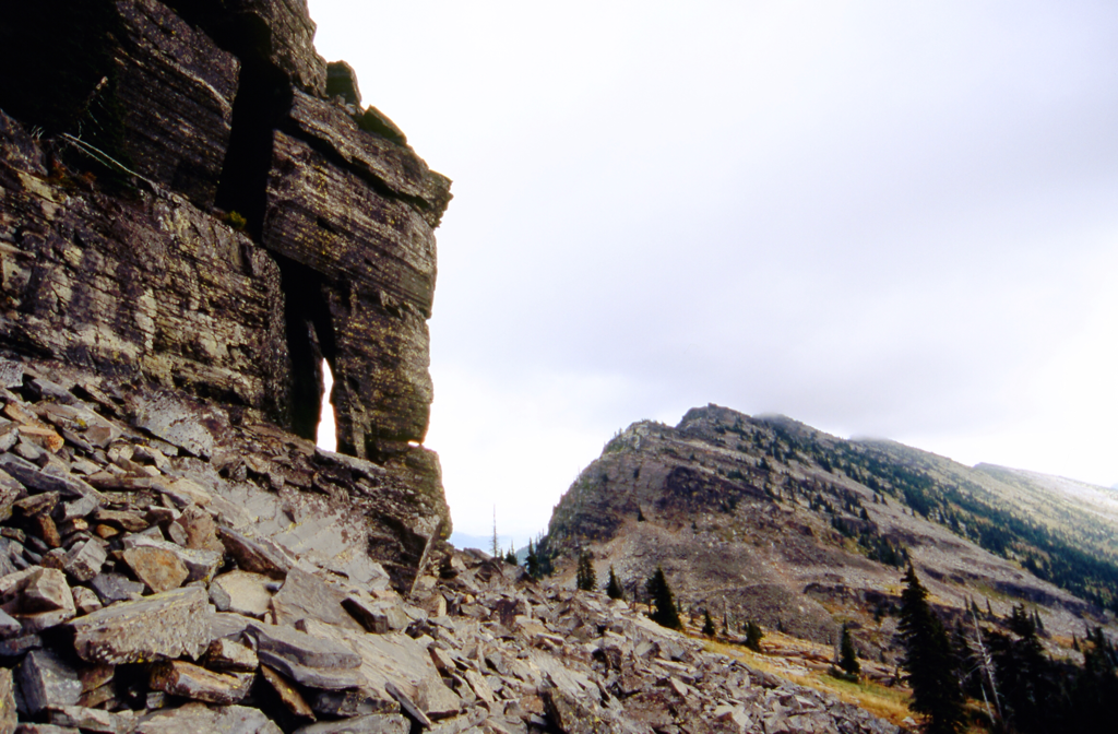
To the north there is a trail up a cool scree slope to Lost Buck Pass and the Cabinet Divide Trail # 360. Walk south for about .2 of a mile and you can find a place to eat lunch and take in the views of Wanless Lake out to the west, with Engle Peak above. The Cabinet Divide Trail runs 6 miles to the wilderness boundary, and another 8 miles past. Spend some time up high and take in the incredible views.
OPTION #1:
There is a way to get over to Wanless Lake from here but it is long and requires great route finding skills.
By continuing along the Cabinet Divide Trail #360, you will find Trail #912 that leads down to Buck Lake, with Wanless Lake above its waterfall.
By continuing along the Cabinet Divide Trail #360, you will find Trail #912 that leads down to Buck Lake, with Wanless Lake above its waterfall.
OPTION #2:
To the NW of Lost Buck Pass is Carney Peak 7173'. Scramble the south side to the top for exceptional views. 2.2 miles and 600 verts RT from Lost Buck Pass
DIRECTIONS:
From Libby, Montana, drive about 17 miles south on Highway 2, and turn right (west) onto West Fisher Creek Road # 231. Follow 231 for about 6 miles and turn left (south) onto Road # 6748 for another 2 miles to the trailhead.
COOL THINGS CLOSE BY:
Bear Lakes, Baree Lakes, Leigh Lake, the Sanders County Museum, and historical Libby, Montana
HAZARDS:
There are few if any hazards, but be aware of Wood Ticks in the tall grasses around the lakes.
R & P:
Kaiju Bar & Grill in Libby. Henry’s & Pizza Hut, in Libby, Clark Fork Pantry, Eicharts, Mr Sub & Jalapeños in Sandpoint
The Shed south of Libby a few miles is on Hwy 2
The Shed south of Libby a few miles is on Hwy 2
