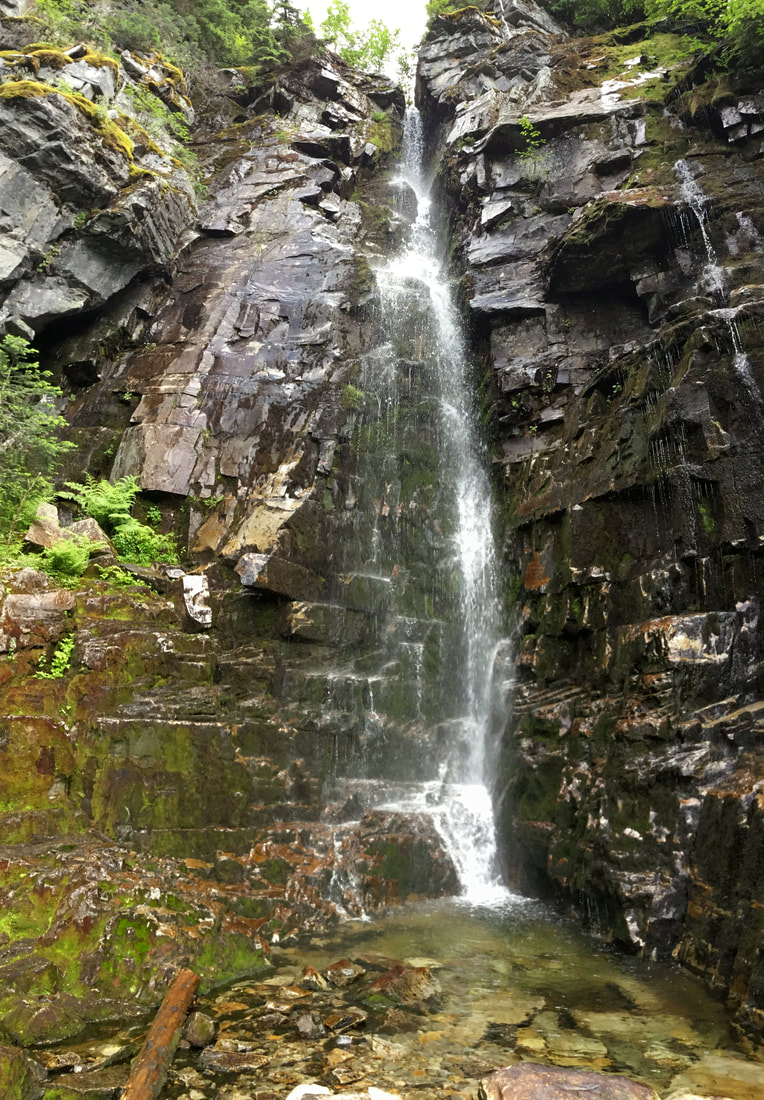
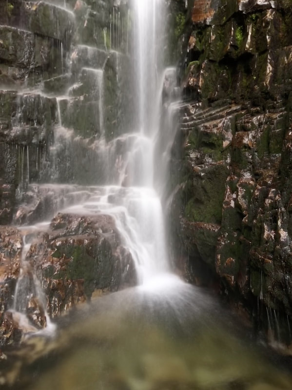
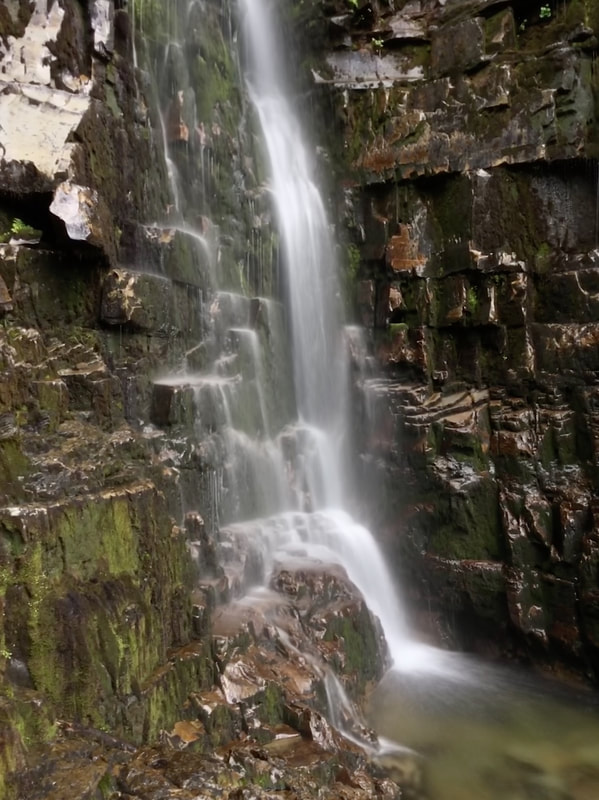
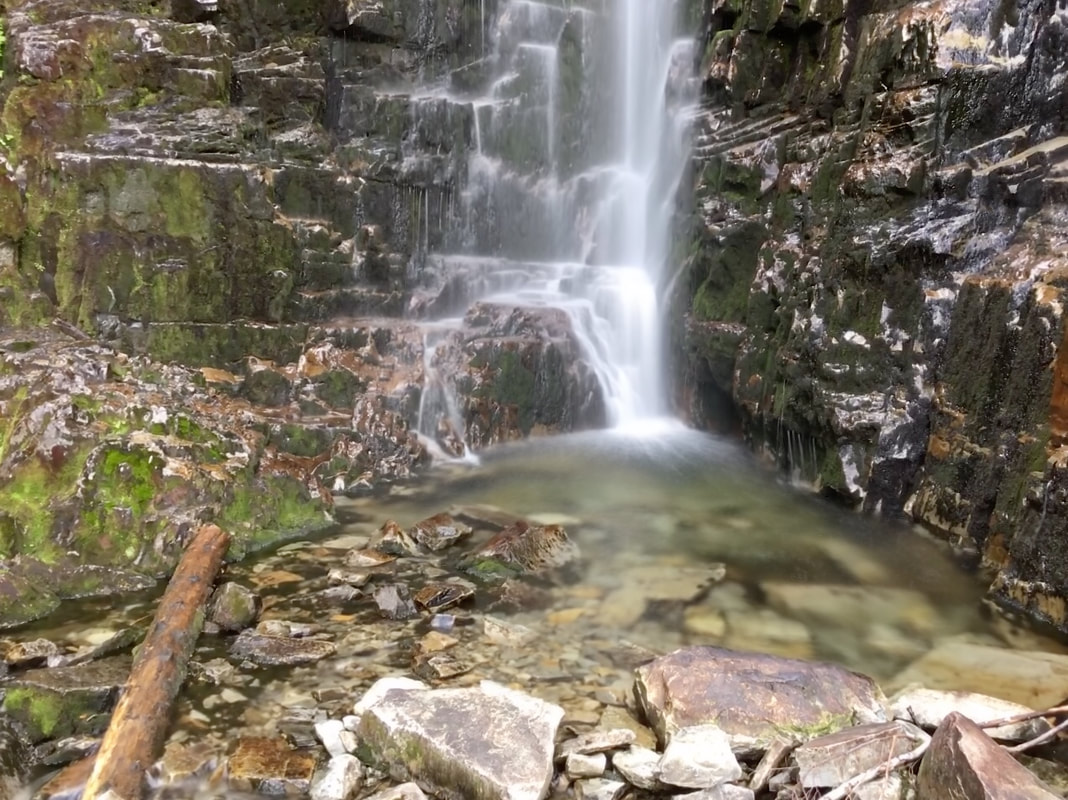
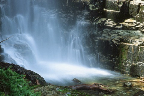
ST. PAUL LAKE WATERFALLS
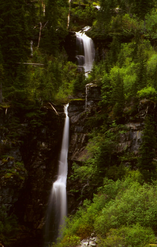
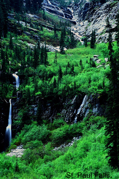
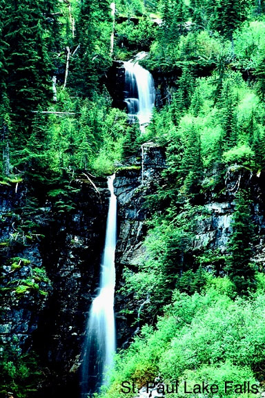
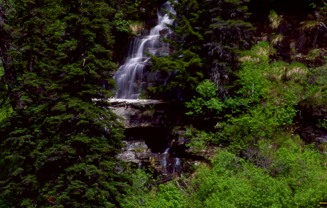
WATERFALL : St. Paul Lake Waterfalls
DROP: Varies from about 25' to 60'
WATERFALL TYPE: Plunge, Horsetail, Tiered, Ribbon and more
DISTANCE CAR TO FALLS: 4.5 miles one way
MAPS: Kootenai N.F., C.M.W., Elephant Peak topo
GPS: 48°05’24” W 115°39’32” N
DROP: Varies from about 25' to 60'
WATERFALL TYPE: Plunge, Horsetail, Tiered, Ribbon and more
DISTANCE CAR TO FALLS: 4.5 miles one way
MAPS: Kootenai N.F., C.M.W., Elephant Peak topo
GPS: 48°05’24” W 115°39’32” N
DESCRIPTION:
IF YOU TAKE CHILDREN ON THIS HIKE, USE EXTRA CAUTION EVERYWHERE AROUND THE LAKE, EXCEPT THE SOUTH SHORE.
Once you have reached the lake, you will not see any falls.
But before heading to the south shore of the lake, drop your packs and take your camera with a wide angle, large telephoto, and your tripod, and very carefully, walk the north side of the lake up high in the trees.
I suggest walking up high because the lake has very steep shore sides.
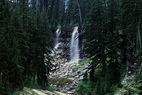
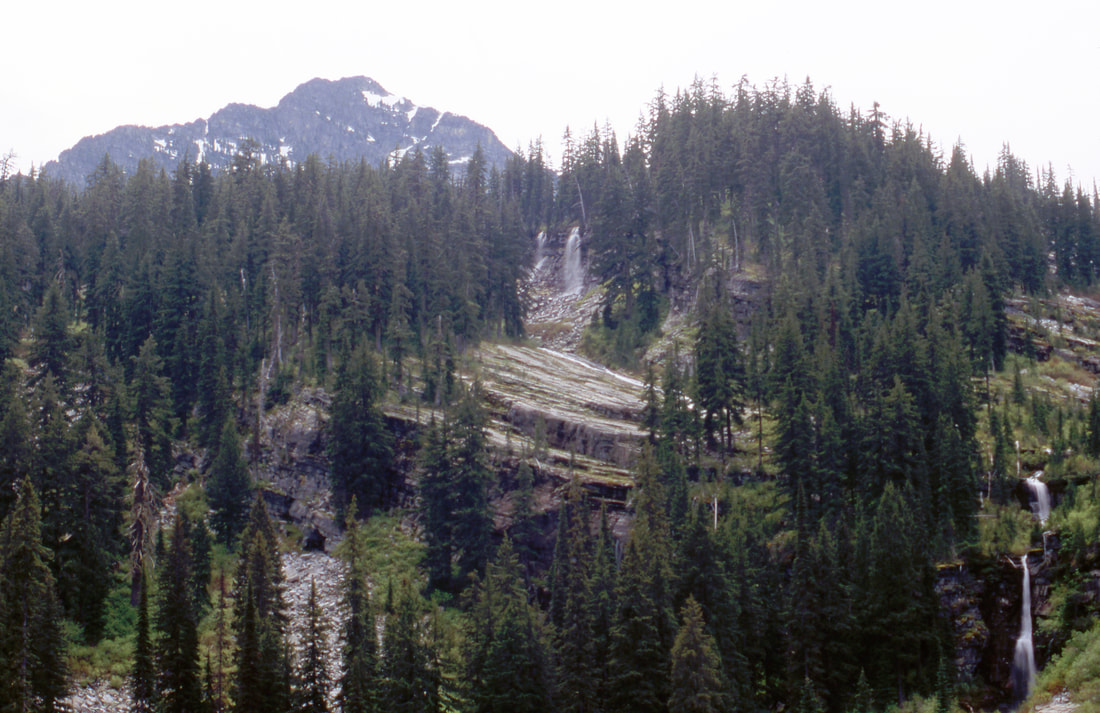
Once at the northwest corner, several waterfalls will appear to the south across the lake and up about 200' off the lake.
Use your telephoto to shoot these falls, and a few more above.
After shooting from this side, walk very carefully back to your packs, and continue along the trail on the east shore.
There are several places to have lunch and enjoy this small lake.
OPTION #1:
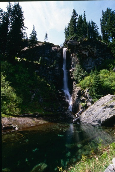
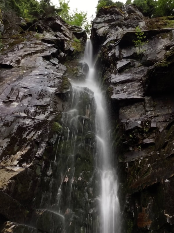
To the south and up hill there are many waterfalls you can scramble up to. Please be careful here, because the rocks can be slippery.
There are about a dozen falls to visit, depending on your desire to scramble to them.
There are about a dozen falls to visit, depending on your desire to scramble to them.
DIRECTIONS:
Turn east off of Hwy 56 at about milepost 8.
The trailhead is up F. R. #407 about 6 miles from Hwy 56. Along the way is an old Bull River Historic Ranger Station.
From the trailhead Hike S.E. up the East Fork Bull River for about 2 miles to a bridge over the creek. On the right is Placer Creek, with the E. Fork Bull River on your left. As you leave the bridge, notice the stereophonic sounds of the two creeks, as you walk up from here. For most of the hike to the lake the sounds, are worth the hike itself. In about 1.75 miles the trail begins a few switchbacks until the lake appears thru the trees.
St. Paul Lake is over 800 feet round and has no obvious outlet.
There are two campsite, one as you come to the lake, and another on its south shore.
COOL THINGS CLOSE BY:
The Historic Bull River Ranger Station (rental), Libby Lakes, Milwaukee Pass, Rock Lake, St Paul Peak, Rock Peak, and Ojibway Peak.
HAZARDS:
THE LAKE
There is no visible outlet to the lake, so the shore line is very steep. Take extra caution along any of its shore line, except the south shore.
THE FALLS
The falls are located on the south side of the lake, up in the forest. Because of the steep terrain and wet rocks, take every precaution as you scramble up to the many falls.
R & P:
Henry’s & Pizza Hut, in Libby, Clark Fork Pantry, Eicharts, Mr Sub & Jalapeños in Sandpoint
PLAN YOUR TRIP:
Click for Current NOAA Weather Conditions
