PACKSADDLE MOUNTAIN
EVENT TYPE: day hiking, backpacking, equestrian, and mt biking
DISTANCE: about 2 miles
ELEVATION: 1838’
DIFFICULTY: moderate
MAPS:IPNF, CDA River Ranger District, Packsaddle Mt. Topo
GPS: trailhead. 48°00’58” N 116°20’ 43” W Summit 48°05’ 51” N 116°21’ 22” W
RANGER DISTRICT: Sandpoint R.D. 208.263.5111
BONNER COUNTY SHERIFF: CALL 911 FIRST or 208.263.8417
DISTANCE: about 2 miles
ELEVATION: 1838’
DIFFICULTY: moderate
MAPS:IPNF, CDA River Ranger District, Packsaddle Mt. Topo
GPS: trailhead. 48°00’58” N 116°20’ 43” W Summit 48°05’ 51” N 116°21’ 22” W
RANGER DISTRICT: Sandpoint R.D. 208.263.5111
BONNER COUNTY SHERIFF: CALL 911 FIRST or 208.263.8417
DESCRIPTION:
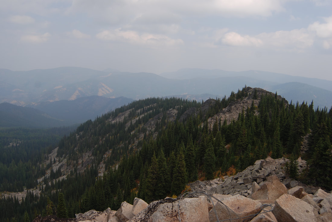
WE HAVE ADDED THE AREAS SHERIFF’S EMERGENCY PHONE NUMBERS FOR EACH TRIP WRITE UP UNDER THE RANGER DISTRICT INFO. IF AN EMERGENCY OCURRS, EVALUATE YOUR CIRCUMSTANCES AND CALL ONLY IF NEEDED.Trail # 76 starts SE of the summit. The trail meanders thru a nice high country forest before it breaks out onto its massive rock summit block.
There are two springs close to the trail along the way, but do not rely on them.
Once up on the summit block, walk up to its highest point for lunch.
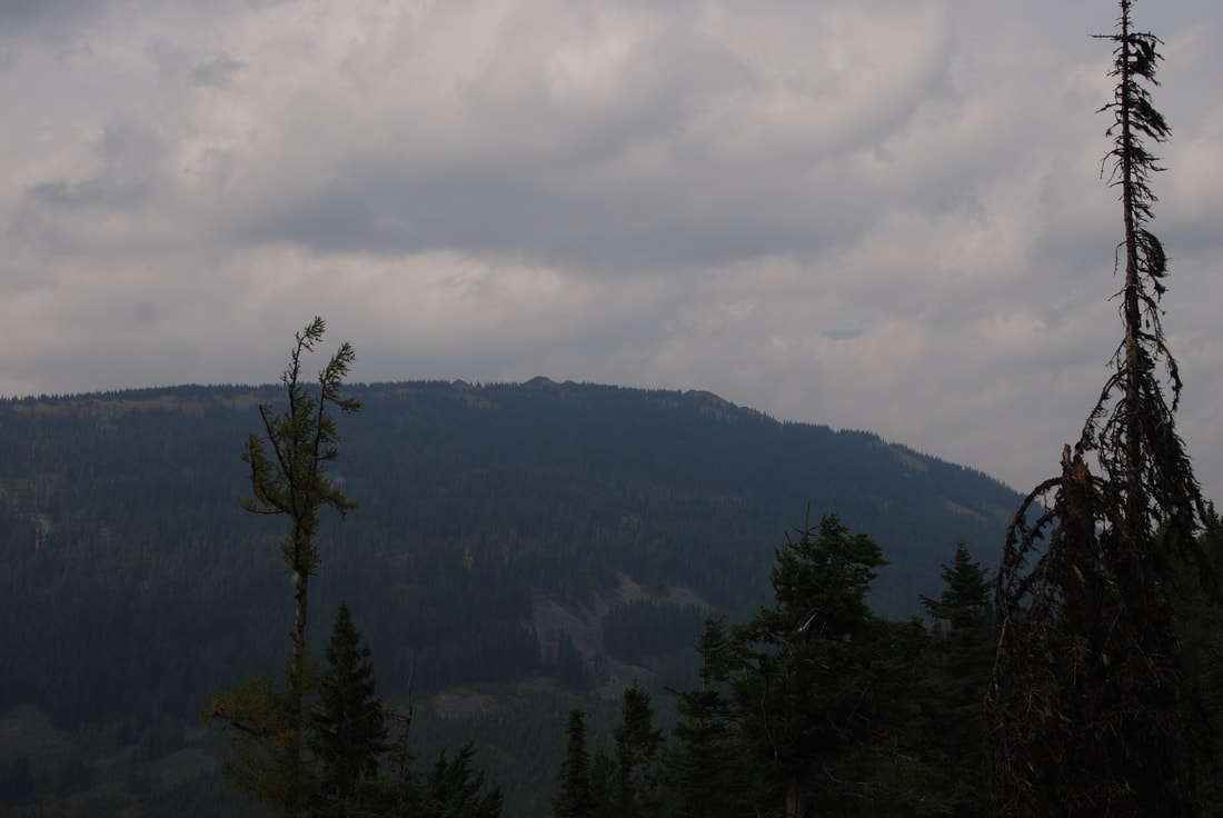
Because Packsaddle is the highest mountain in the area, the views cover Idaho, Washington, Canada and Montana. Pend Orielle Lake is visible to the west.
DIRECTIONS:
Head north from CDA on 95 to the Bunco Road turnoff opposite from Silverwood Theme Park. In about 2.2 miles turn left (north) for 1 mile and turn right (east) past Bunco Corners to the ORV parking area. Continue on FR 332 for about 25 miles. Look for Trail #452 to Powder Mountain. About 2 miles past 452,look for a side road FR #1073 that will take you to the trailhead near the North Gold Creek.
COOL THINGS CLOSE BY:
Chilco Mountains, Farragut S.P., Pend Orielle Lake, Silverwood and the Green Monarchs.
HAZARDS:
F.R. 322 is long and dusty road. Be careful.
The tops summit block is loose scree, take care walking to the top.
The tops summit block is loose scree, take care walking to the top.
R & P:
Franklin’s Hoagies, Moontime, Mexican Food Factory, and the Trails End Brewery.
PLAN YOUR TRIP:
Click for Current NOAA Weather Conditions


