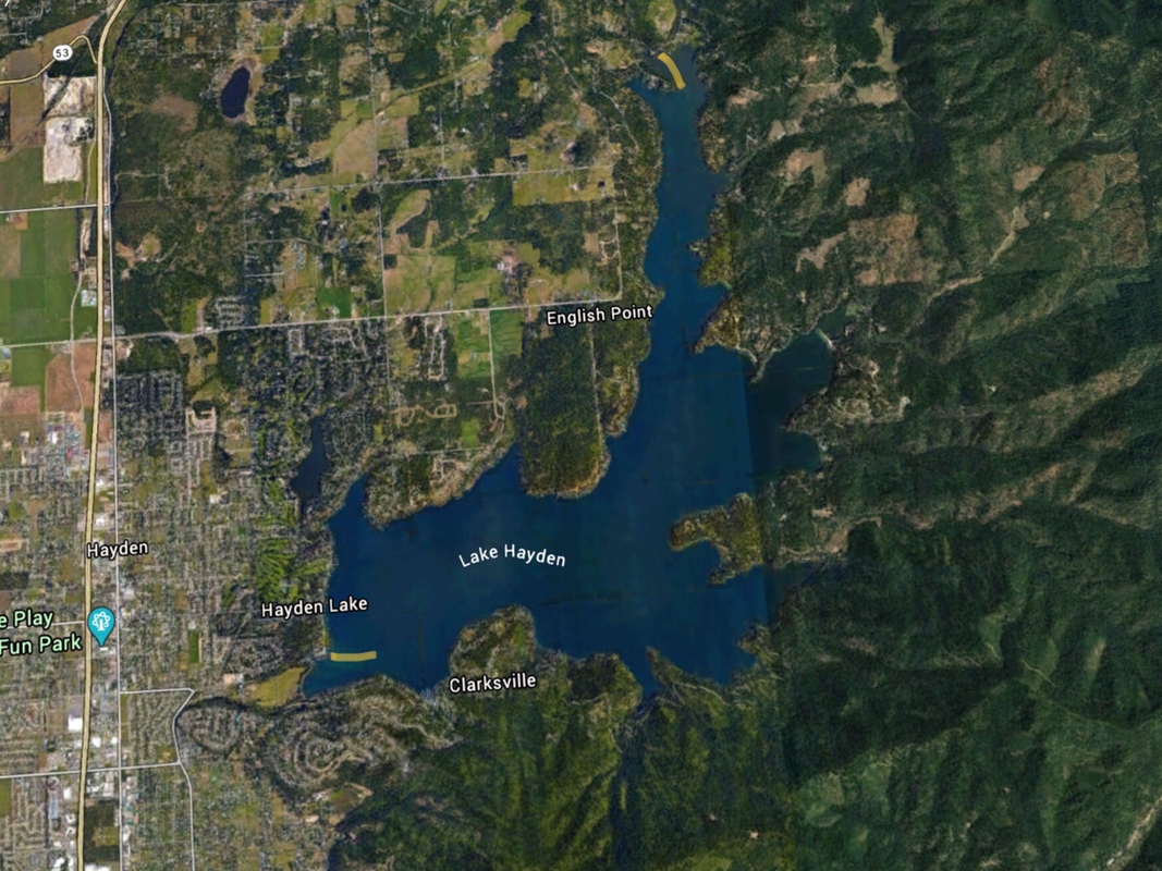
SPORTSMAN ACCESS LAUNCH
PADDLE DISTANCE: up to 7 miles one way.
ELEVATION: 2239’
LENGTH AND ACREAGE: about 7 miles & 3800 acres.
MAPS: Hayden Lake, and Athol topos
LAUNCH GPS: 47°48’40” N. 116°41’50” W
KOOTENAI COUNTY SHERIFF: 208.446.1300
ELEVATION: 2239’
LENGTH AND ACREAGE: about 7 miles & 3800 acres.
MAPS: Hayden Lake, and Athol topos
LAUNCH GPS: 47°48’40” N. 116°41’50” W
KOOTENAI COUNTY SHERIFF: 208.446.1300
DESCRIPTION:
The Sportsman Access Launch has adequate parking, but the launch itself is complicated to maneuver.
From this launch, accessing the north and east shore lines is easier then paddling from Honeysuckle, and less boat traffic.
From this launch, accessing the north and east shore lines is easier then paddling from Honeysuckle, and less boat traffic.
ATTRACTIONS
Less crowded. Out of the way access, and a more peaceful paddling.
DIRECTIONS:
From CDA, drive north on Hwy 95 to Lancaster. Turn right (East) for 3.6 miles, passing the English Point Recreation Area, where the road turns north and becomes E. Hayden Lake Road, about 3.8 miles that bears left staying on E. Hayden Lake Road at about 6.2 miles, turn right (south) onto N. Sportsman Park Road for about .1 of a miles.
COOL THINGS CLOSE BY:
Canfield Mountain, Spades Lookout, Mokins Slough and camp ground.
R & P:
Rustler’s Roost for breakfast, and the Porch in Hayden. In CDA is the Mexican Food Factory, Franklins Hoagies, and the Trails End Brewery.,


