EVENT TYPE: day hiking, backpacking, camping, and scrambling DISTANCE: 6 miles RT to upper lake ELEVATION: 935 verts DIFFICULTY: Easy MAPS: IPNF, LOLO N.F., Thompson Pass GPS: 47°55’15”N 115°74’47”W RANGER DISTRICT: CDA River R.D. 208.769.3000 SHONSHONE SHERIFF: CALL 911 FIRST or 208.556.1114
DESCRIPTION:
WE HAVE ADDED THE AREAS SHERIFF’S EMERGENCY PHONE NUMBERS FOR EACH TRIP WRITE UP UNDER THE RANGER DISTRICT INFO. IF AN EMERGENCY OCURRS, EVALUATE YOUR CIRCUMSTANCES AND CALL ONLY IF NEEDED. The trail starts at Thompson Pass on a fairly level trail for about .5 of a mile. From here the trail starts a gradual climb to the high point at 5775'. The rest of the trail descends slowly to the lake. The trail goes thru a rocky gorge just before it reaches the lake. Along the way look for an old diversion trench dug by Chinese laborers to supply water to mining operations. But was never used.
OPTION #1:
From the lower lake, you can walk the SE shore line and bushwhack about .3 miles to the upper lake. If you wish to make this extension a bit longer, look for a hiker made route up to Pear Lake from the SE end of Upper Blossom
OPTION #2:
From Lower Blossom Lake go to the back right (west) and scramble the scree slope up to the low notch on the ridge. In front of you is Revett Lake and the trail back to the cars. This extension is about a 9 mile loop. There is no trail between the two lakes. Yahoooo
DIRECTIONS:
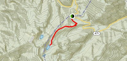
Drive I-90 east to the Kingston exit # 43, and turn left (north) over the freeway and up FR #9, also known as the Coeur d'Alene River Road. Drive north for about 21 miles and bear right (east) at Pritchard, continue for about 16 miles to Thompson Pass at the Idaho Montana boarder. Off to the right at the summit of the road, you will see a parking area. The trailhead is near the south corner of the parking area.
HAZARDS:
None worth noting to either lakes.
COOL THINGS CLOSE BY:
The Snake Pit, the Sprag Pole Bar & Museum, Revett Lake & the Coeur d"Alene River.
R & P:
The Snake Pit, the Sprag Pole Bar & Museum, Revett Lake & the Coeur d'Alene River
PLAN YOUR TRIP:
Click for Current NOAA Weather Conditions
PHOTO GALLERY
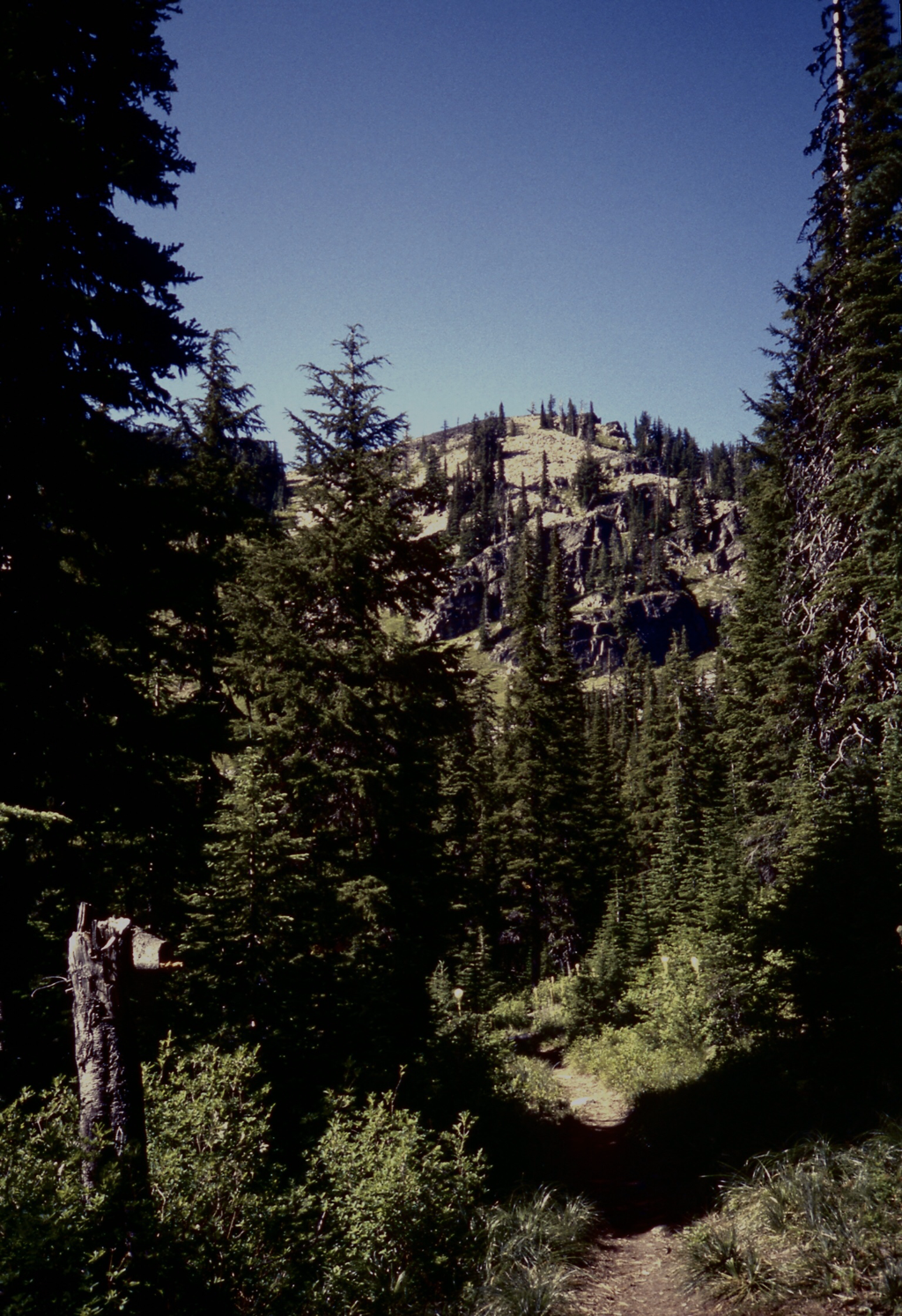
THE TRAIL TO BLOSSOM NEAR THE LOWER LAKE
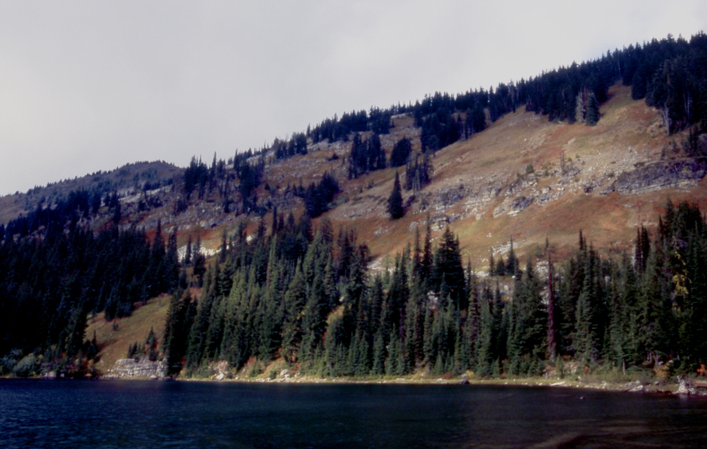
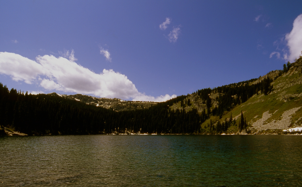
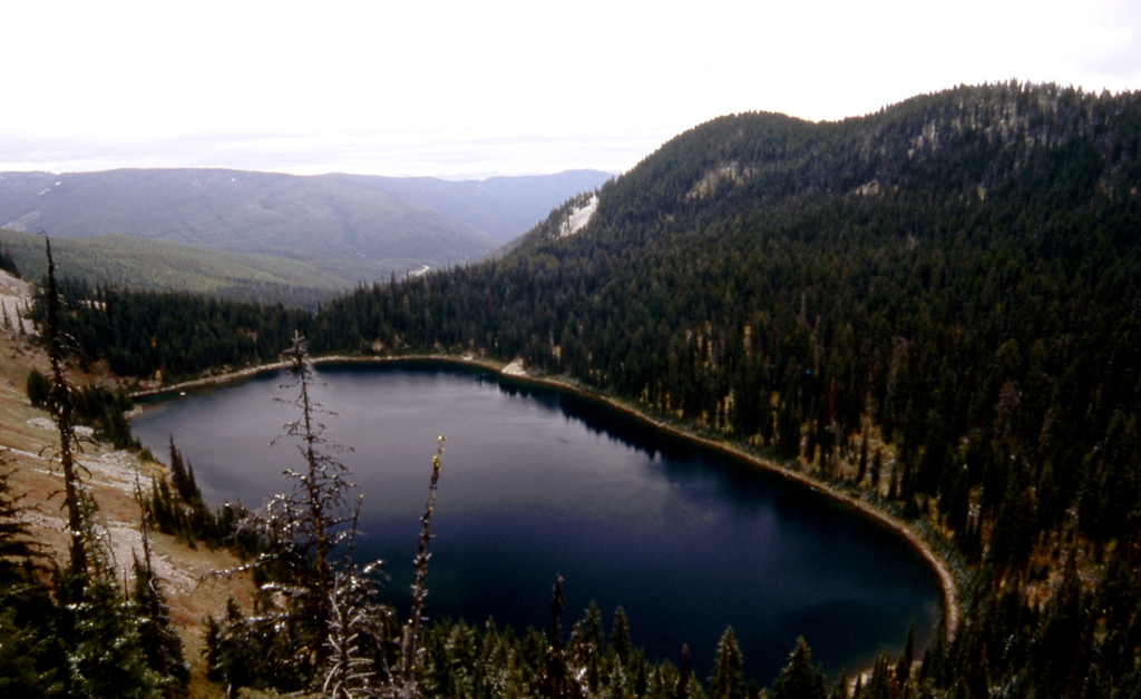
LOWER BLOSSOM LAKE IN EARLY FALL
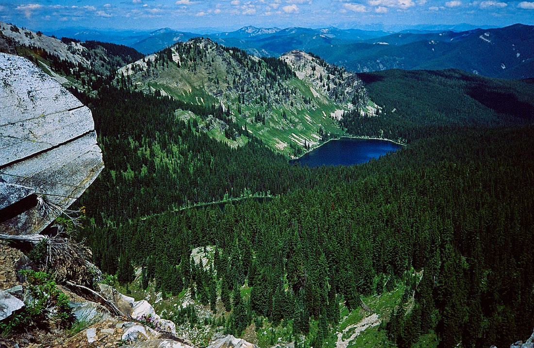
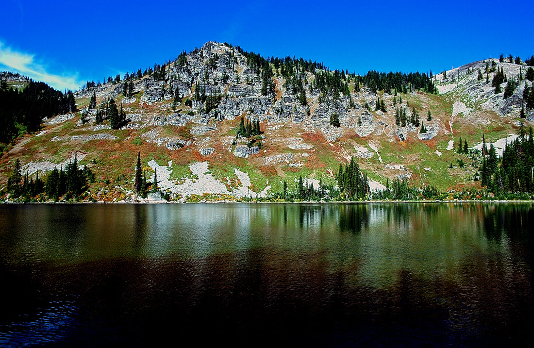
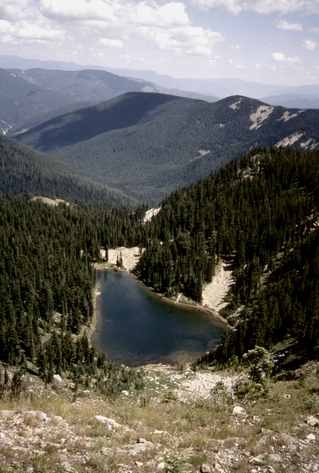
LOWER BLOSSOM LAKE LOOKING TOWARDS UPPER BLOSSOM LAKE AND TRAIL #7 RIDGE
THE NW SHORE OF LOWER BLOSSOM LAKE
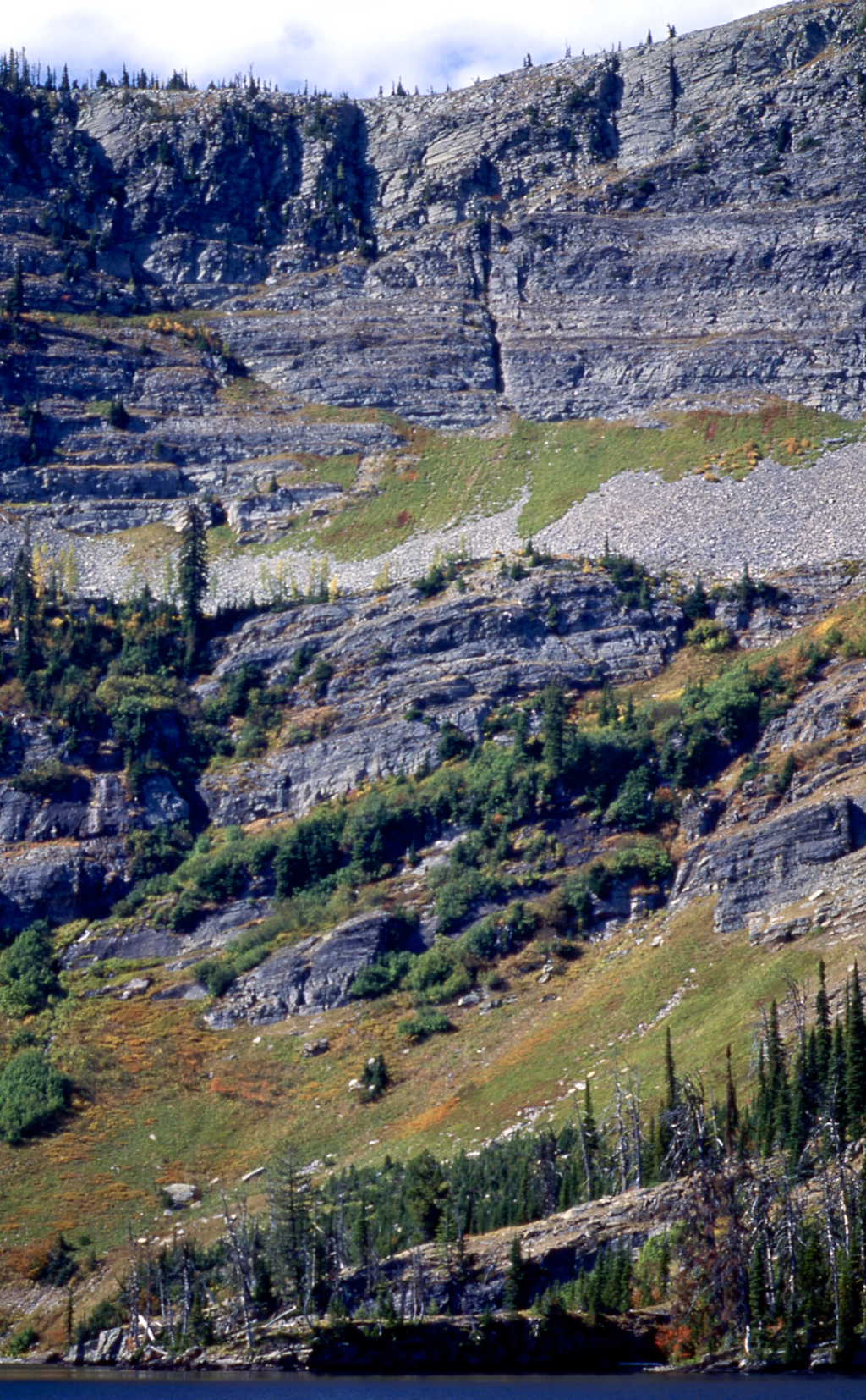
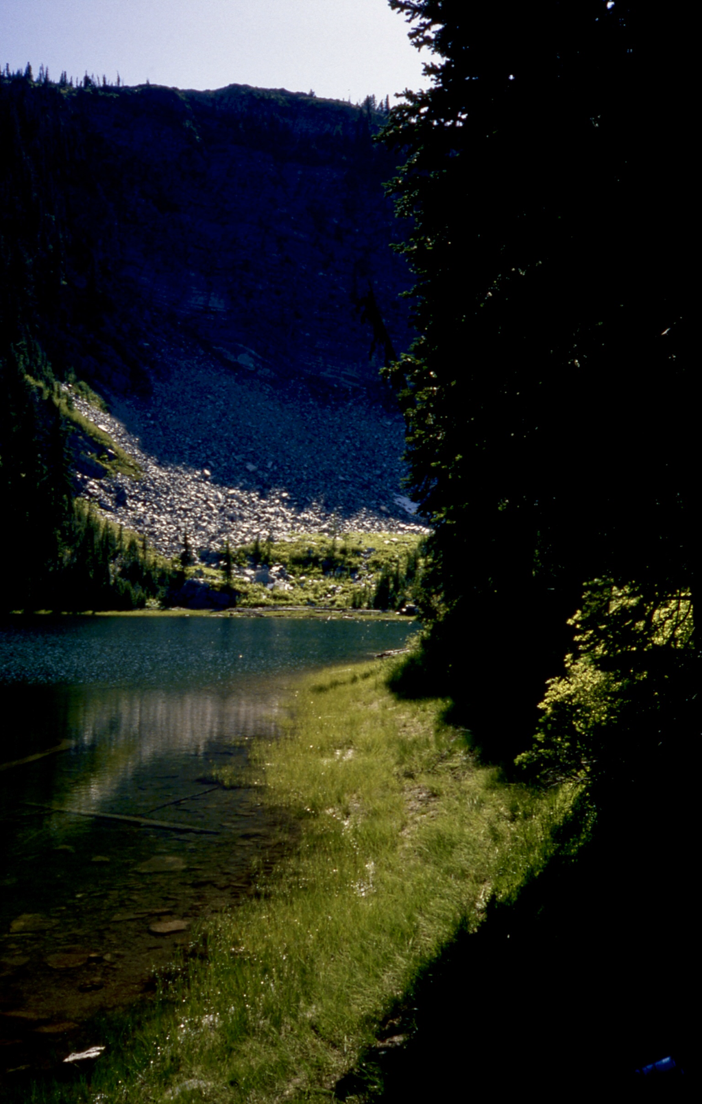
THE CLIFFS AT LOWER BLOSSOM LAKE
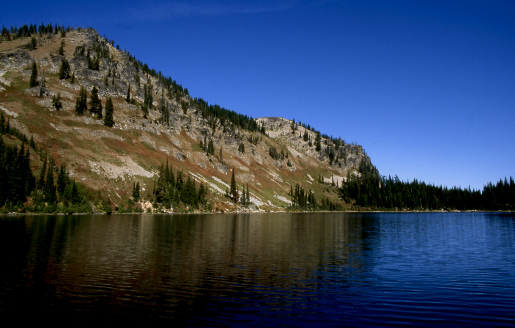
LOWER BLOSSOM LAKE FROM WEST END
LOWER BLOSSOM LAKE FROM THE RIDGE BETWEEN BLOSSOM & REVETT LAKES