CLIFTY MOUNTAIN 6705’ TO KATKA PEAK 6208’
EVENT TYPE: Day hiking, backpacking but no water, and equestrian.
DISTANCE: 8 miles RT
ELEVATION GAIN: About 1000’
DIFFICULTY: moderate
MAPS: IPNF, Moyie Springs & Clifty Mountain
GPS: 48°38’48” N 116°1’8” W
RANGER DISTRICT: Bonners Ferry R.D. 208.267.5561
BOUNDARY COUNTY SHERIFF: CALL 911 FIRST or 208.267.3151
DISTANCE: 8 miles RT
ELEVATION GAIN: About 1000’
DIFFICULTY: moderate
MAPS: IPNF, Moyie Springs & Clifty Mountain
GPS: 48°38’48” N 116°1’8” W
RANGER DISTRICT: Bonners Ferry R.D. 208.267.5561
BOUNDARY COUNTY SHERIFF: CALL 911 FIRST or 208.267.3151
DESCRIPTION:
WE HAVE ADDED THE AREAS SHERIFF’S EMERGENCY PHONE NUMBERS FOR EACH TRIP WRITE UP UNDER THE RANGER DISTRICT INFO. IF AN EMERGENCY OCURRS, EVALUATE YOUR CIRCUMSTANCES AND CALL ONLY IF NEEDED.
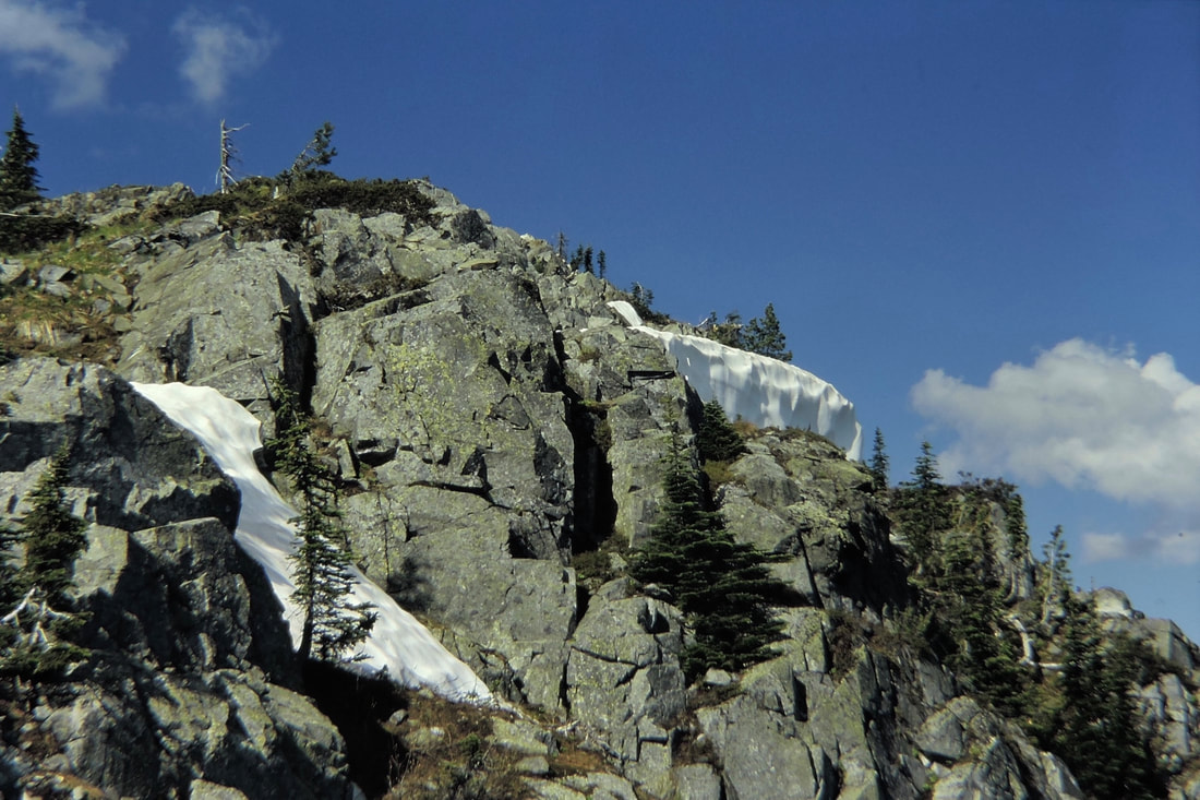
Trail #182 begins on a switchback on a ridge top, then climbs a steep, short trail to a bench before it circles around the south side of Clifty Mountain.
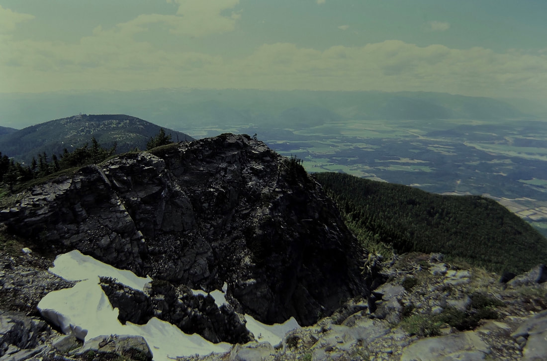
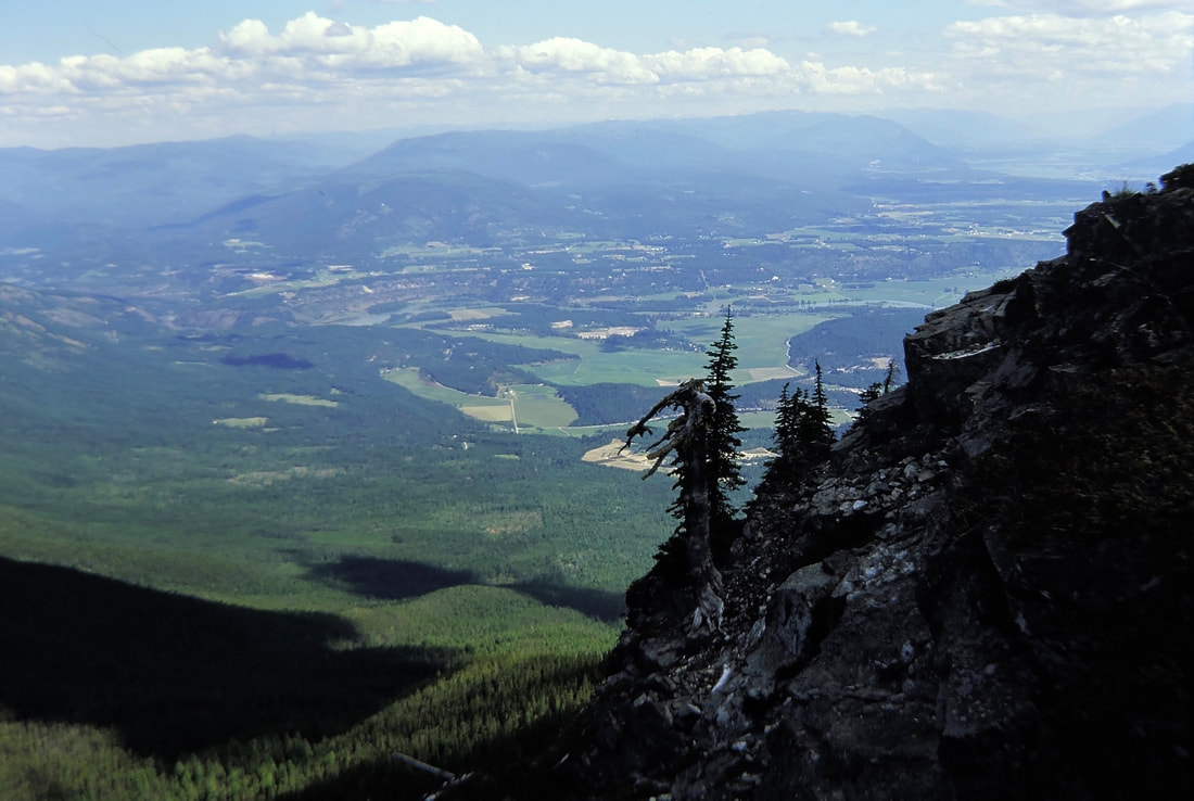
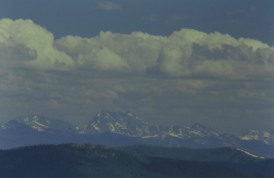
Then the trail climbs another slope to Clifty’s summit. The views from Clifty Mountain of the Kootenai Valley to the south, and the Purcell Trench to the north are worth the effort. Off to the Northwest, the Northwest Peaks Scenic Area, stands tall above the Purcell Trench. The trail to Katka Pass heads ENE along an east ridge line for about 3 miles. As Trail #182 gets close to the pass, Trail #143 drops down on McGinty Ridge. Trail #182 skirt Katka Mountain, and ascends the east slope of the mountain. Once on the summit, the views open up in all directions. But it’s the view to the ESE down the Kootenai River Valley towards Troy, Libby, and the Kootenai River that will catch your eye. Below you on the summit, the Kootenai River does an “S” turn as to flows west from Libby.
DIRECTIONS:
From Naples, drive 1.2 miles to the Twentymile Creek road. Turn right (East) for about 10 miles to a junction with F.R. #274, which climbs to the Black Mountain Lookout. At about 4 miles, the trailhead is located on a tight left turn a ridge top switchback.
COOL THINGS CLOSE BY:
The American Selkirks, the Cabinet Mountain Wilderness, the Northwest Peaks Scenic Area, Kootenai Falls, and the Proposed Scotchman Peaks Wilderness.
HAZARDS:
None of note, but watch the trail junctions.
R & P:
Oriental Gardens, Burger Express


