SHOSHONE MEDICAL CENTER’S WELLNESS TRAIL
EVENT TYPE: Walking, running, hiking & picnicking
DISTANCE: less then a mile RT
ELEVATION GAIN: about 240’
DIFFICULTY: easy
MAPS: IPNF, Kellogg topo
GPS: 47°32’50”N 116°08’47”W
RANGER DISTRICT: CDA River R.D. 208.769.3000
SHOSHONE COUNTY SHERIFF: CALL 911 FIRST or 208.556”1114
DISTANCE: less then a mile RT
ELEVATION GAIN: about 240’
DIFFICULTY: easy
MAPS: IPNF, Kellogg topo
GPS: 47°32’50”N 116°08’47”W
RANGER DISTRICT: CDA River R.D. 208.769.3000
SHOSHONE COUNTY SHERIFF: CALL 911 FIRST or 208.556”1114
DESCRIPTION:
WE HAVE ADDED THE AREAS SHERIFF’S EMERGENCY PHONE NUMBERS FOR EACH TRIP WRITE UP UNDER THE RANGER DISTRICT INFO. IF AN EMERGENCY OCURRS, EVALUATE YOUR CIRCUMSTANCES AND CALL ONLY IF NEEDED.
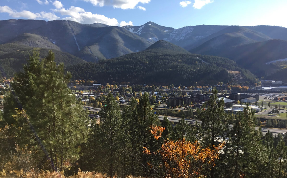
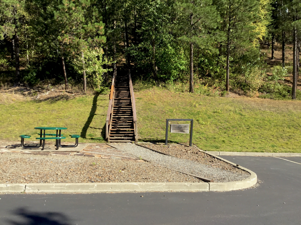
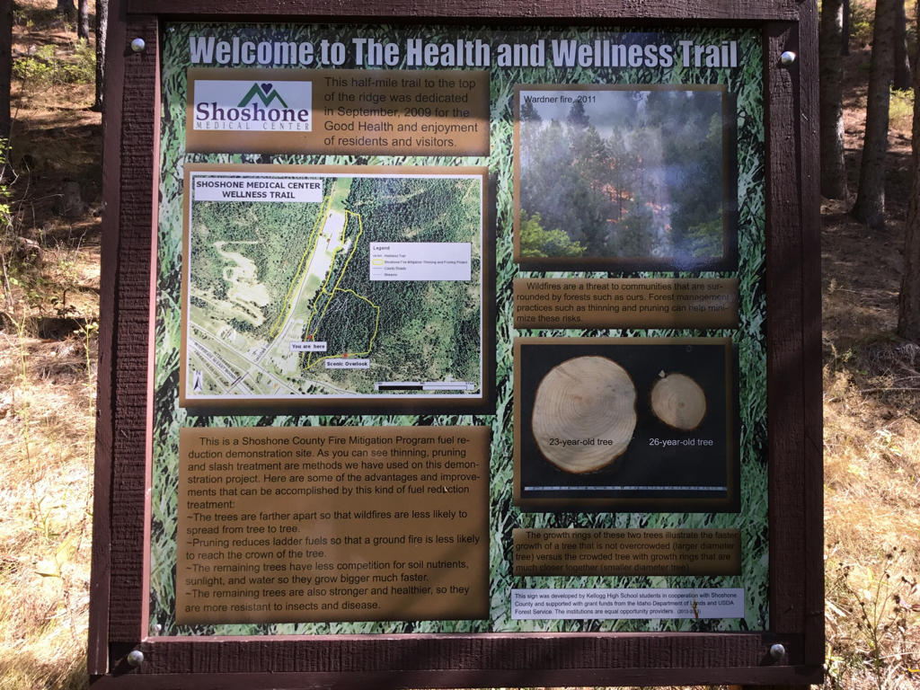
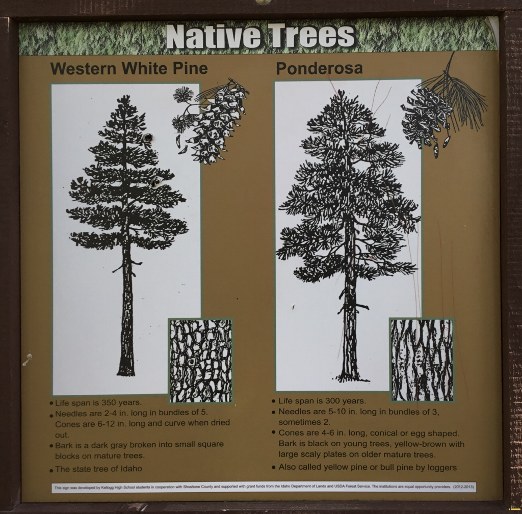
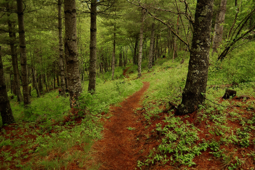
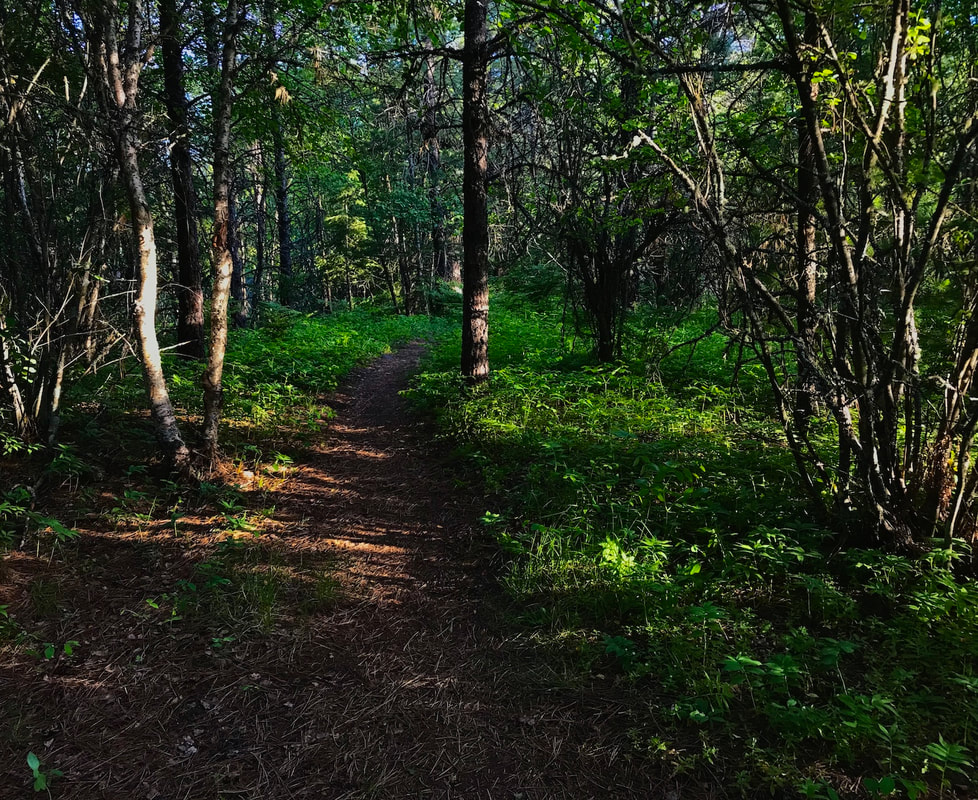
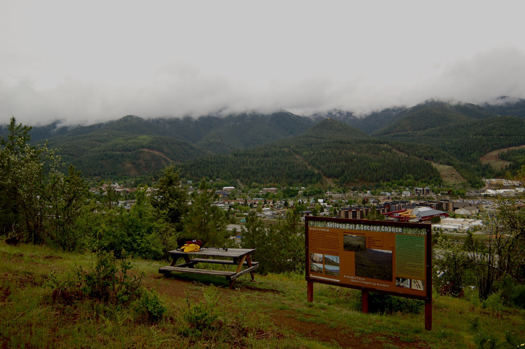
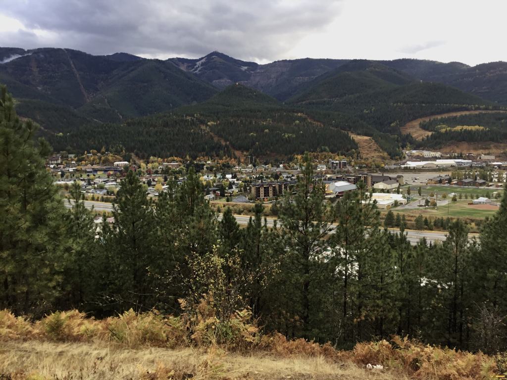
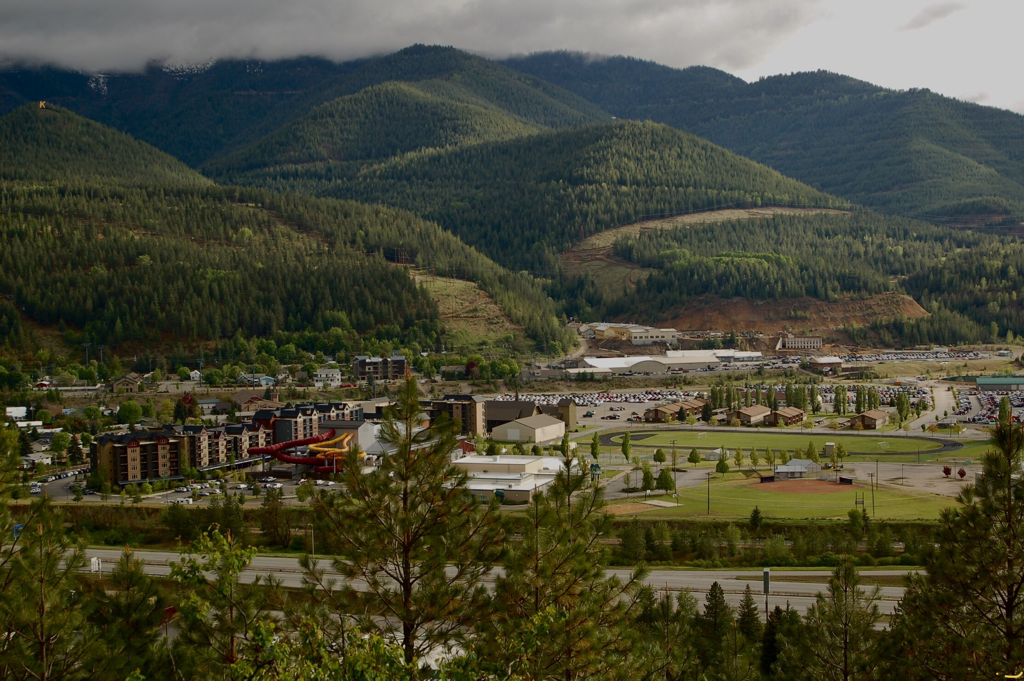
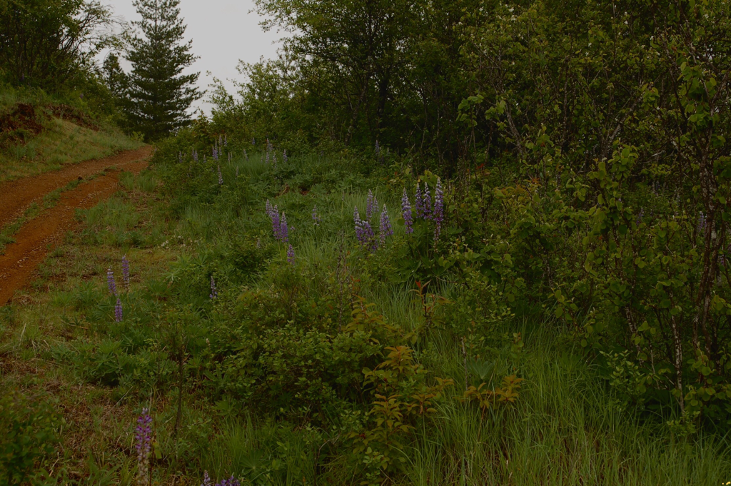
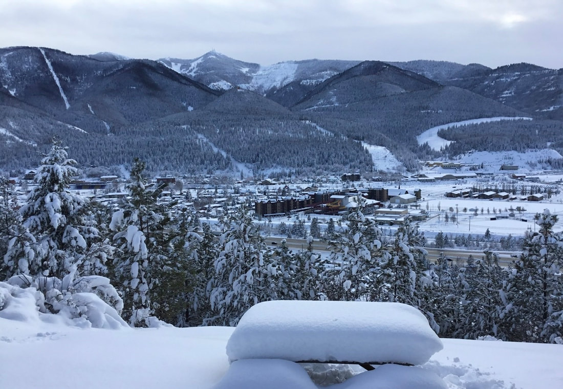
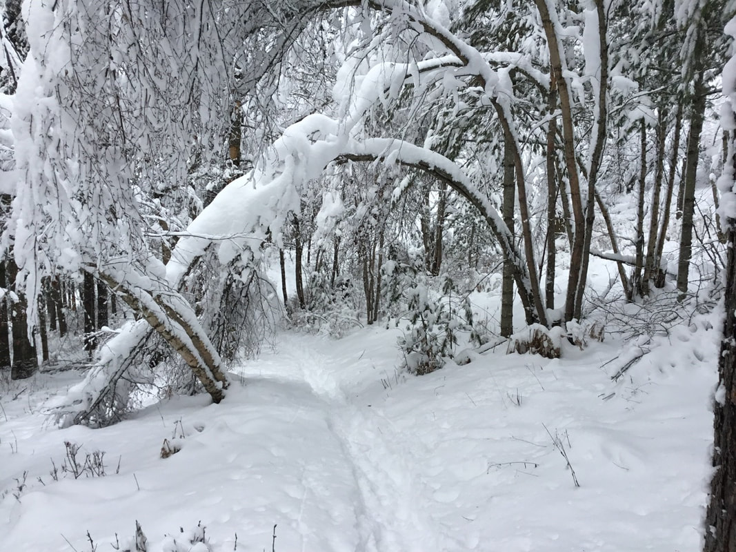
From the Shoshone Medical Center’s parking area, look east for a set of stairs heading east up hill. The entire trail to the viewpoint is easy and designed for people to get a moment for themselves. The trail switchbacks 5 times until it head south to the viewpoint. The viewpoint has a picnic table and an informative kiosk telling of Kellogg’s mining history and it’s forest reforestation.
In a nut shell...after decades of mining and smelting, all the trees in and around Kellogg were gone. I mean barren dirt was all that could be seen.
By the end of 1993, Ed Pommerening, with the help of high school students, at 8$ per hour, planted 2.8 million trees over 5,000 acres.
The first plantings died, due to the toxicity of the soil. So Ed designed a plastic sheath to cover the root mass of each tree, and they soon began to grow.
There was not a greenhouse large enough to grow the starts, so Bunker Hill Mines offered some unused mining tunnels to grow the saplings in.
GTE Sulvania designed a special lighting system to be used in the tunnels. An astonishing 90% of the trees survived and were planted. The tunnel had the perfect temperature, humidity, and Co2 levels for the starts to grow.
DIRECTIONS:
Take exit 49 in Kellogg, and turn left (north) onto Bunker Ave.
At the stop sign, continue north on Bunker Ave. (to the Shoshone Medical Center parking area, near the helipad.)
At the stop sign, continue north on Bunker Ave. (to the Shoshone Medical Center parking area, near the helipad.)
HAZARDS:
None
COOL THINGS CLOSE BY:
Silver Mountain Resort, Historic Wallace, Elsie Lake & Striped Peak, Stevens Lakes & Peak, Lone Lake, U. & L. Glidden Lakes, Trail of the CDA’s, and the Route of the Hiawatha.
R & P:
Pizza Factory, 1313 Club, Brooks Hotel & Restaurant, City Limits Brew Pub, Fainting Goat, Smoke House BBQ & Saloon, Wallace Brewing Co., and Muchacho’s Tacos in Wallace. Radio Brewing in Kellogg. the Snake Pit north of Kingston, and Moon Time in CDA
