EVENT TYPE: Day hiking, backpacking, equestrian DISTANCE: 11 miles RT ELEVATION GAIN: 3429 verts DIFFICULTY: moderate MAPS: IPNF, CDA River Ranger District. GPS: trailhead 47°38’54” N 116°07’13” W. RANGER DISTRICT: CDA River R.D. 208.769.3000 SHOSHONE COUNTY SHERIFF: CALL 911 FIRST or 208.556.1114
DESCRIPTION:
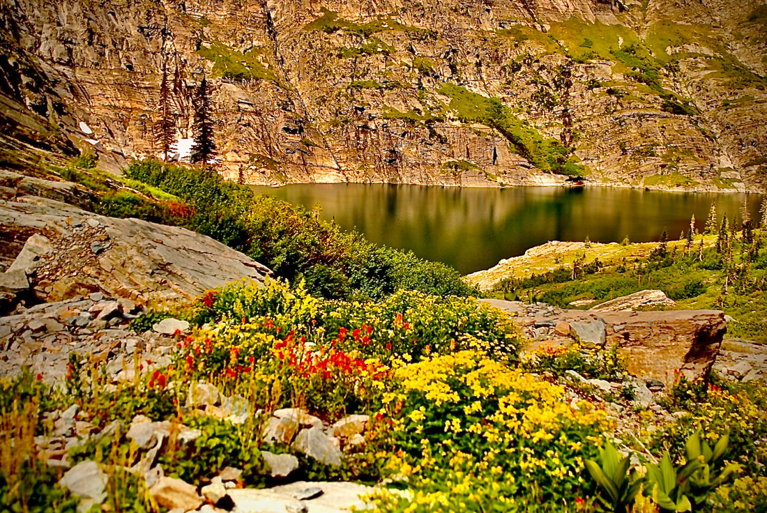
WE HAVE ADDED THE AREAS SHERIFF’S EMERGENCY PHONE NUMBERS FOR EACH TRIP WRITE UP UNDER THE RANGER DISTRICT INFO. IF AN EMERGENCY OCURRS, EVALUATE YOUR CIRCUMSTANCES AND CALL ONLY IF NEEDED. Trail #41 skirts Coal Creek, crossing it only once. Once on the trail, you are in the thick of the forest all the way to the summit ridge. The views are great looking in all directions. Silver Mountain is due south, with the upper CDA River to the north.
DIRECTIONS:
From CDA drive east on I-90 to exit #43, Kingston, Idaho. Cross over the freeway and drive north on HWY #9 for 12.5 miles to the Coal Creek trailhead. The parking is up a dirt road to the south.
COOL THINGS CLOSE BY:
CDA River, Bumblebee Campgrounds, Trail #17 Graham Ridge, Fern & Shadow Falls, Little Guard Lookout, CDA River National Recreation Trail #20, and Jordan Camp
HAZARDS:
Trail #33 to Graham Mountain is a 5.5 mile trail that climbs steadily on the same aspect to the summit. In the spring, there are several creek crossings that may be difficult.