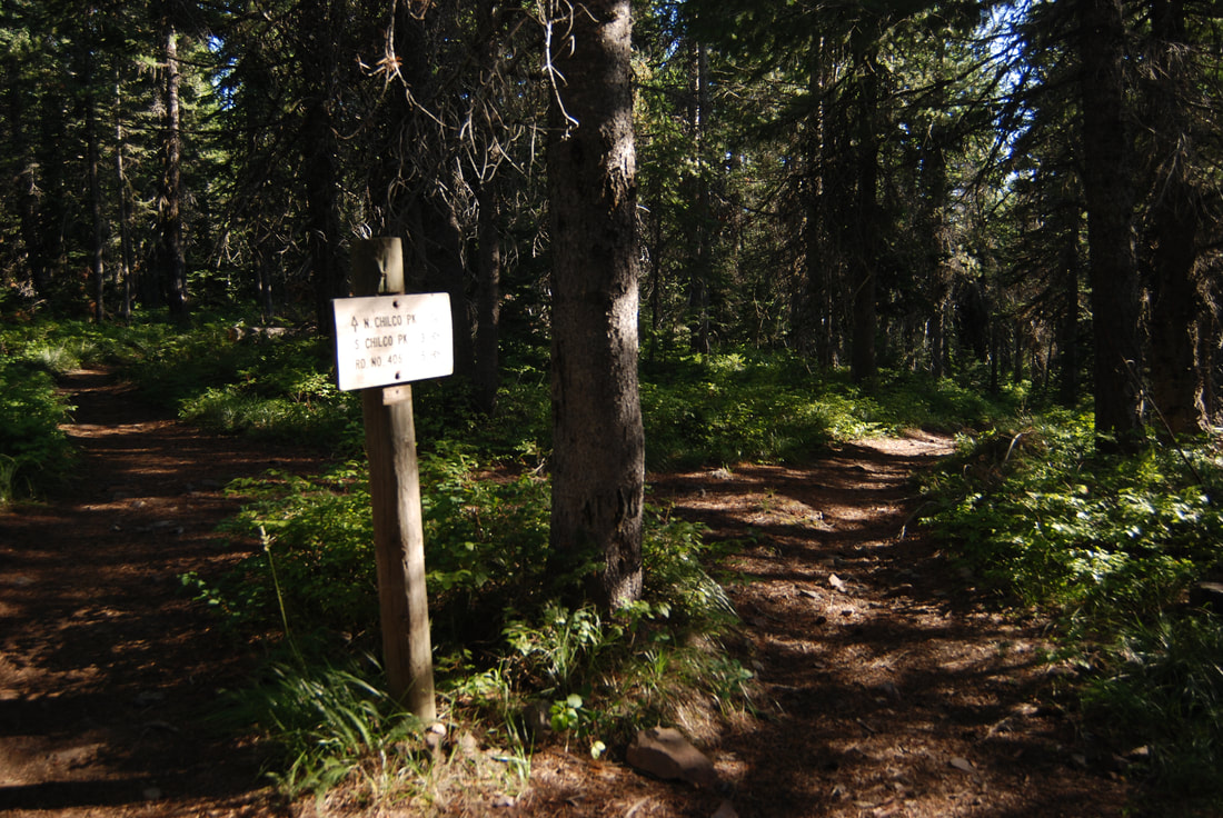
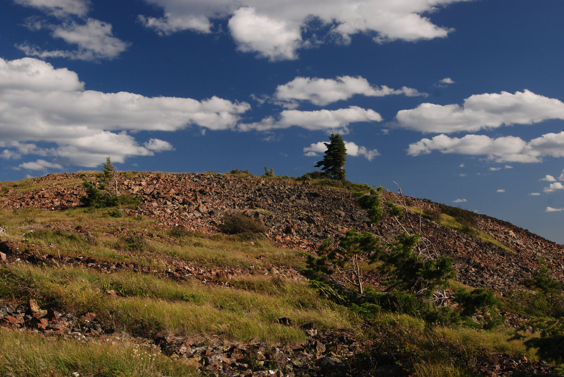
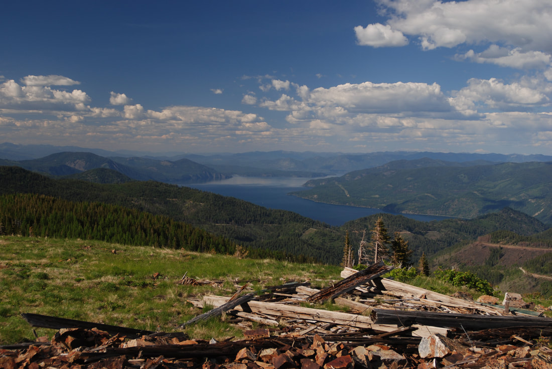
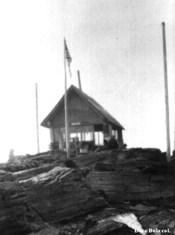
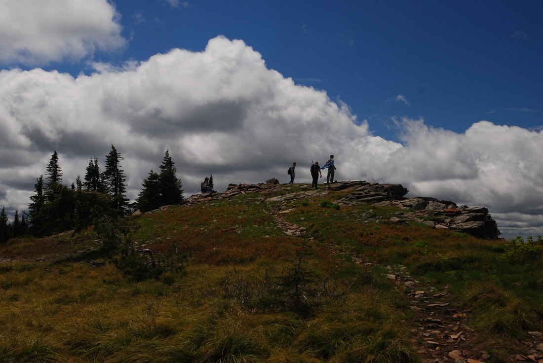
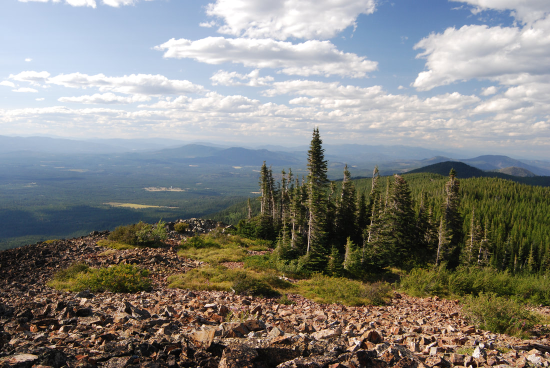
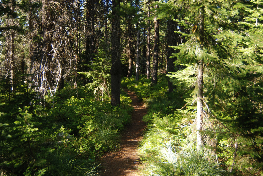
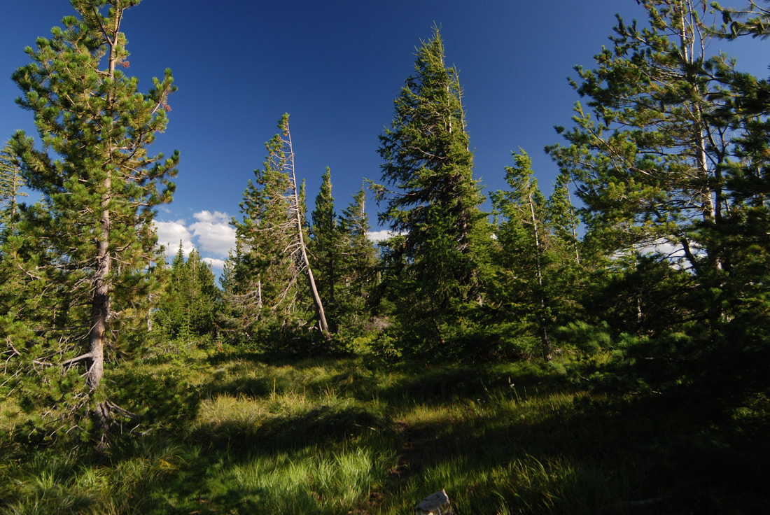
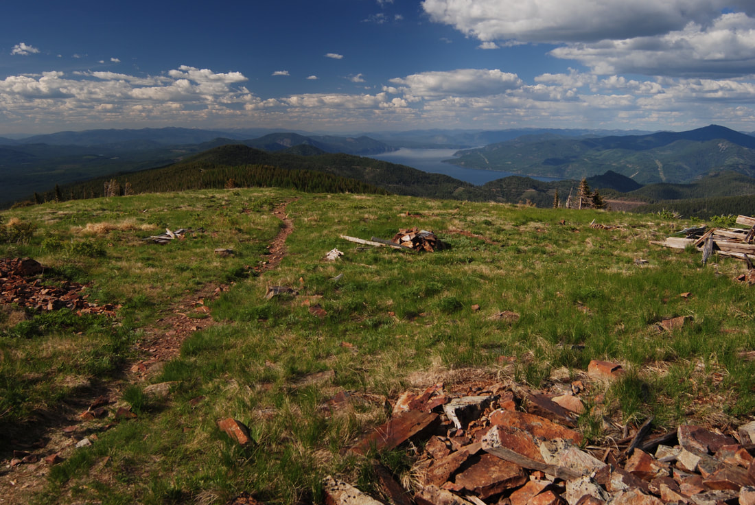
NORTH AND SOUTH CHILCO PEAK N.R.T. #14
EVENT TYPE: Day hiking, backpacking,
DISTANCE: N. Route 3.2 miles RT to N. Chilco. And 9.6 miles to S. Chilco.
ELEVATION GAIN: 1455’ to N Chilco. Then drops about 865’ to the saddle. Then rises 901’ to S. Chilco
DIFFICULTY: moderately easy
MAPS: IPNF, Bayview, Spades Mountain topos
GPS: South Chilco 47°51'59" N 116°33'15" W.
North Chilco 47°53'30" N 116°31;47" W
RANGER DISTRICT : CDA River R.D 208.769.3000
KOOTENAI COUNTY SHERIFF: 911 or 208.446.1300
DESCRIPTION:
WE HAVE ADDED THE AREAS SHERIFF’S EMERGENCY PHONE NUMBERS FOR EACH TRIP WRITE UP UNDER THE RANGER DISTRICT INFO. IF AN EMERGENCY OCURRS, EVALUATE YOUR CIRCUMSTANCES AND CALL ONLY IF NEEDED.No matter which route you choose, in the fall when the Larch are turning bright yellow, don’t miss the golden views from either summit.
North Trail
The trail heads SW from the intersection of FR 332 & FR 385, hike the switchbacks for about 1.8 miles to along the ridge north of the summit. Bear left and take in the views to the west. Once back on the trail you will come to a sign indicating the south trail to the right. Stay left to the summit of N. Chilco. On top is the remains of an old fire lookout from late 40's to the late 50's.
From here if you wish to extend your hike over to South Chilco, head due south from N. Chilco summit and look for a faint trail that eventually meets up with Trail 14 on the Chilco Saddle.
From here, Trail #14 meanders along the saddle thru a nice forest before climbing to South Chilco 5661'.
On the main trail to South Chilco bear right at the sign before the N. Chilco spur trail. It is about another 3.6 miles to S. Chilco.
South Trail
From the trailhead on FR #406, hike north about 1.5 miles to S. Chilco. You can extend your hike to N. Chilco by staying on trail 14 for about 3.6 miles
OPTION #1:
As you leave the summit of N. Chilco heading north back to your car, stay on the west side of the trail along the ridge. It will afford you views to the west for about .25 miles. As the ridge starts to drop, take a right off the ridge and chicwack down to Trail #14, back to the cars.
DIRECTIONS:
North
Drive north on 95 to the Silverwood exit and go right (east) on Bunco Road. From 95 drive for about 2.3 miles to a sharp left (north) turn for 1 mile. The road turns right (east) for about 3.5 miles to the ORV parking area. (There is an outhouse here)
FR 332 heads east for about 7.5 miles to the junction with FR 385. The trailhead S on the SW corner of this junction. The trail has a concrete barrier a short way up the trail.
South
From I-90 drive north on 95 for 10 miles to Ohio Match Road. Turn right (east) and drive 3 miles and bear left at the junction with Tree Farm Lane and continue on FR #206. In 4 miles turn left ( north) at a "T" onto FR #437 next to East Fork Hayden Creek. In 7 more miles look for FR #406 near a transmitting tower. Turn left onto 406 for about 1 mile to the trailhead.
COOL THINGS CLOSE BY:
Farragut State Park, Pend Orielle Lake, Packsaddle Mountain, Hayden Lake, and Canfield Butte
HAZARDS:
Non of note
R & P:
Franklin’s Hoagies, Moontime, and Mexican Food Factory.
PLAN YOUR TRIP:
Click for Current NOAA Weather Conditions