SNOW LAKE 5914’ & PEAK 6917’
EVENT TYPE: Day hiking, backpacking & scrambling
DISTANCE: 11.2 miles RT
ELEVATION: to Snow Lake 1554’. To Snow Peak 2557’
DIFFICULTY: Difficult because of distance
MAPS: I.P.N.F., KANIKSU N. F., Roman Nose topo
GPS: 48°49’57”N 116°34’17”W
RANGER DISTRICT: Bonners Ferry R.D. 208.267.5561
Bonners Ferry County Sheriff: 208/267.3151
DISTANCE: 11.2 miles RT
ELEVATION: to Snow Lake 1554’. To Snow Peak 2557’
DIFFICULTY: Difficult because of distance
MAPS: I.P.N.F., KANIKSU N. F., Roman Nose topo
GPS: 48°49’57”N 116°34’17”W
RANGER DISTRICT: Bonners Ferry R.D. 208.267.5561
Bonners Ferry County Sheriff: 208/267.3151
DESCRIPTION:
For the most part, the trail is on an old logging road nearly to the lake.
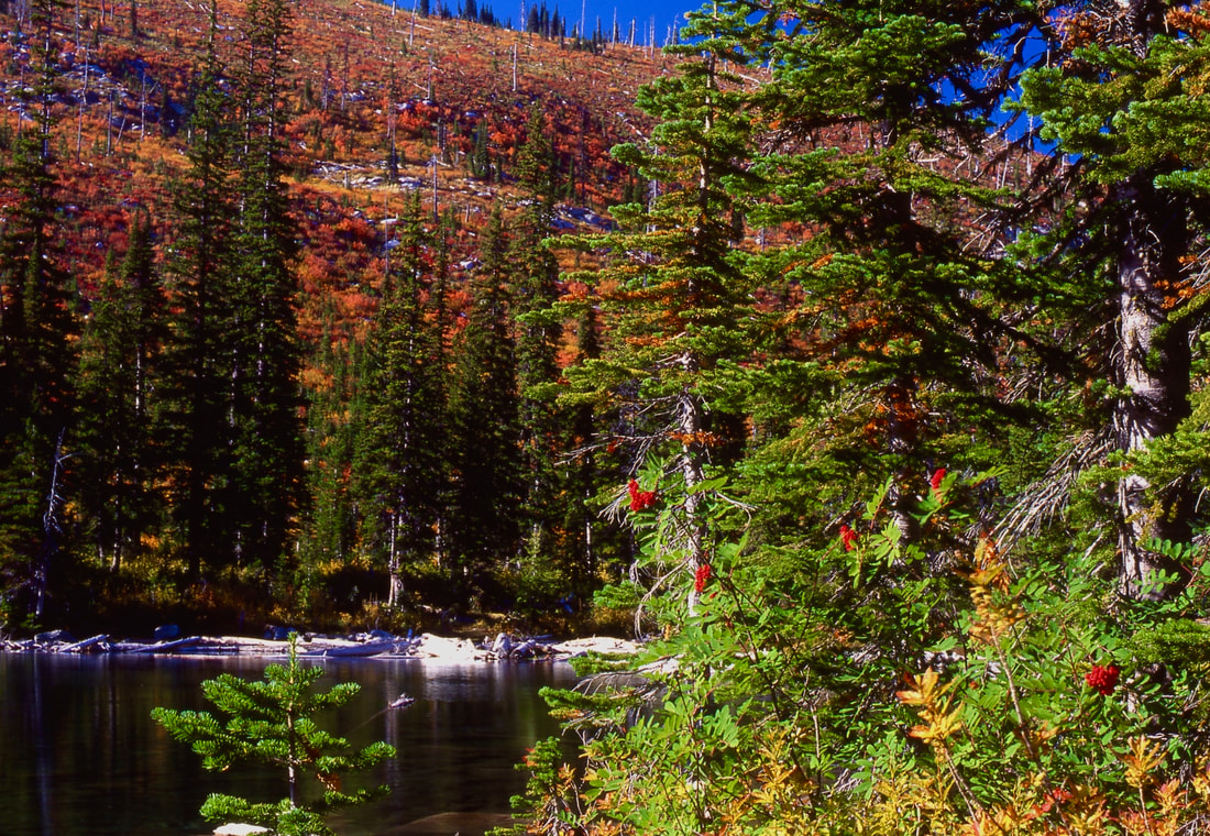
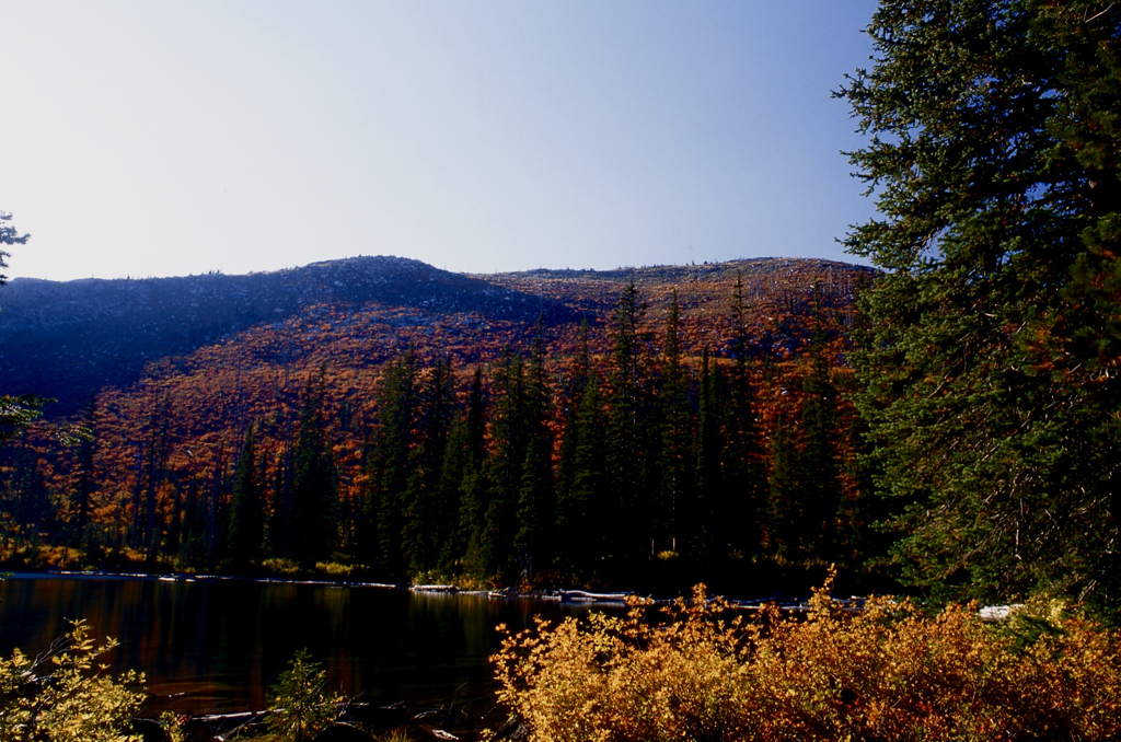
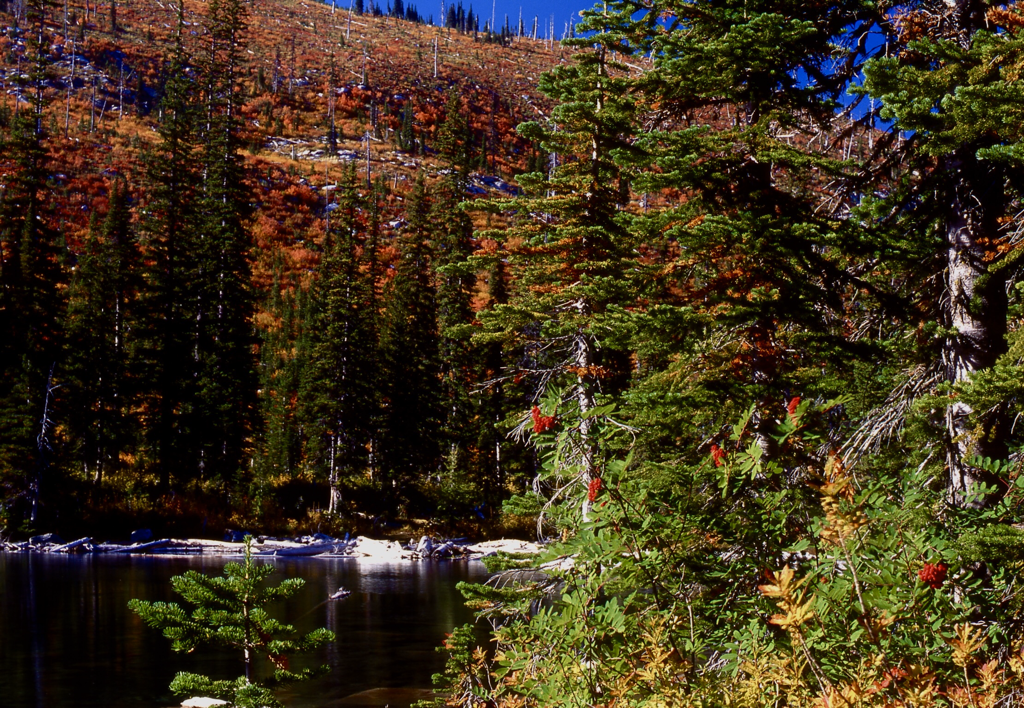
In 1967, the Sundance Fire burned most the upper section. But now the views are more open, and the fall colors are spectacular.
Just before the lake’s basin, the road becomes slightly steeper, but that levels out the closer you get to Snow Lake. There are several creeks for filtering water along the upper trail, but aren’t an issue to cross, except in the spring.
OPTION #1:
If a higher point of view is necessary, you can scramble up to ridge like between Bottleneck Peak and the ridge above Snow Lake. This hike adds about 3 miles.
OPTION #2:
Once on the ridge above Snow Lake, you can head north up the ridge for a little over a mile to Bottleneck Peak 6923’.
With the fantastic views all around from Bottleneck Peak, you can descend past the Upper Bottleneck Lake to the lower lake. Bottleneck Peak trail, leads you back to the same trailhead as Snow Lake. The loop hike is just under 11 miles.
With the fantastic views all around from Bottleneck Peak, you can descend past the Upper Bottleneck Lake to the lower lake. Bottleneck Peak trail, leads you back to the same trailhead as Snow Lake. The loop hike is just under 11 miles.
DIRECTIONS:
Drive to Bonner Ferry on 95. Just before you come to the Kootenai River, turn left (west) onto Riverside St. please obey the speed limits for the next 5 miles.
After 5 miles you will come to the West Side Road #18. Take a sharp left turn (South) for about 2.2 miles, and make another sharp right (NW) turn up F.R. #402 for about 9.5 mikes to the joint trailhead with Bottleneck Lake.
After 5 miles you will come to the West Side Road #18. Take a sharp left turn (South) for about 2.2 miles, and make another sharp right (NW) turn up F.R. #402 for about 9.5 mikes to the joint trailhead with Bottleneck Lake.
HAZARDS:
The hike to Snow Lake is long but scenic.
if you do the loop, plan on more then ample time from lake to lake.
if you do the loop, plan on more then ample time from lake to lake.
COOL THINGS CLOSE BY:
Kootenai National Wildlife Refuge, Myrtle Falls, Burton Peak, Lower & Upper Snow Creek Falls, Roman Nose Lakes & Peak.
R & P:
Eichardt’s, Mr Sub, & Burger Express, Jalapeño in Sandpoint
PLAN YOUR TRIP:
Click for Current NOAA Weather Conditions


