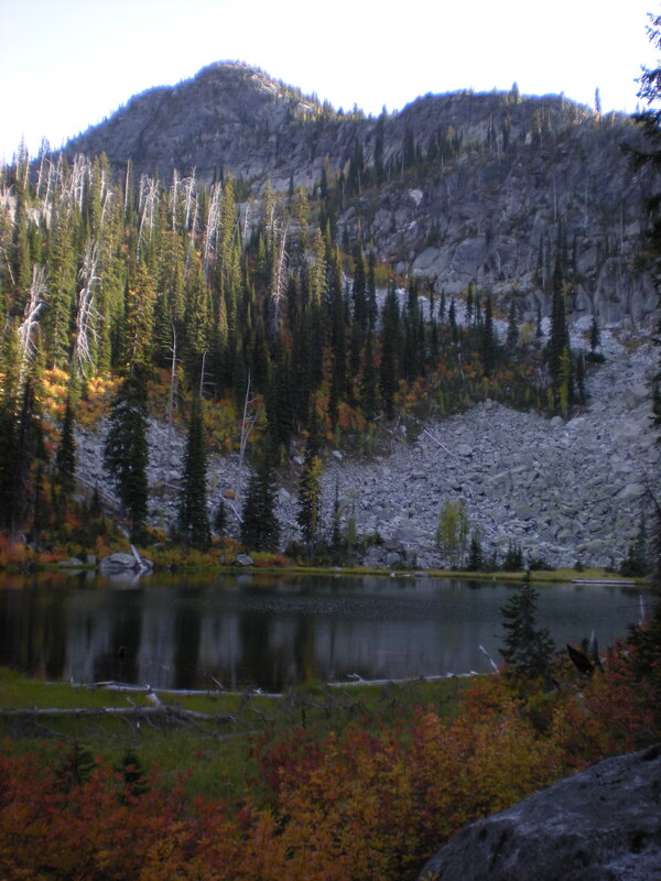
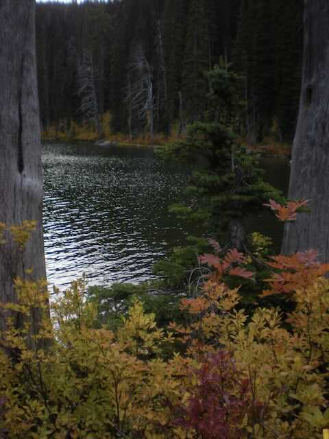
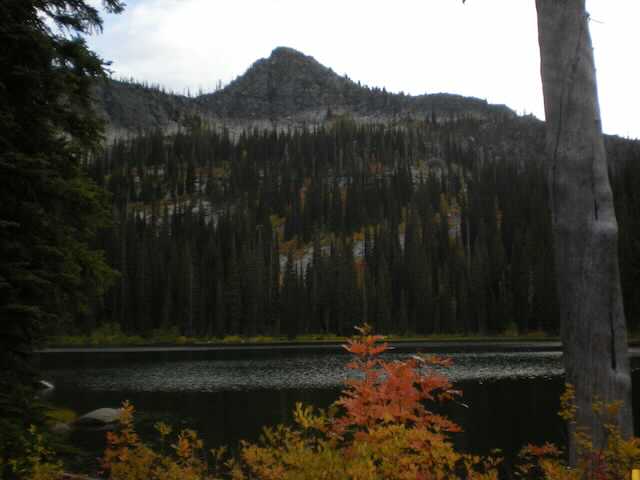
BOTTLENECK LAKE & PEAK 6923’ TRAILS #185-187
EVENT TYPE: Day hiking, backpacking
DISTANCE: 7 miles RT
ELEVATION GAIN: 2543’
DIFFICULTY: Moderate
MAPS:IPNF, KANIKSU N. F., Roman Nose topo
GPS: 48°39’35” N 116°36’05” W
RANGER DISTRICT: Bonners Ferry R.D. 208.267.5561
BOUNDARY COUNTY SHERIFF: CALL 911 FIRST or 208.263.8417
DISTANCE: 7 miles RT
ELEVATION GAIN: 2543’
DIFFICULTY: Moderate
MAPS:IPNF, KANIKSU N. F., Roman Nose topo
GPS: 48°39’35” N 116°36’05” W
RANGER DISTRICT: Bonners Ferry R.D. 208.267.5561
BOUNDARY COUNTY SHERIFF: CALL 911 FIRST or 208.263.8417
DESCRIPTION:
WE HAVE ADDED THE AREAS SHERIFF’S EMERGENCY PHONE NUMBERS FOR EACH TRIP WRITE UP UNDER THE RANGER DISTRICT INFO. IF AN EMERGENCY OCURRS, EVALUATE YOUR CIRCUMSTANCES AND CALL ONLY IF NEEDED.
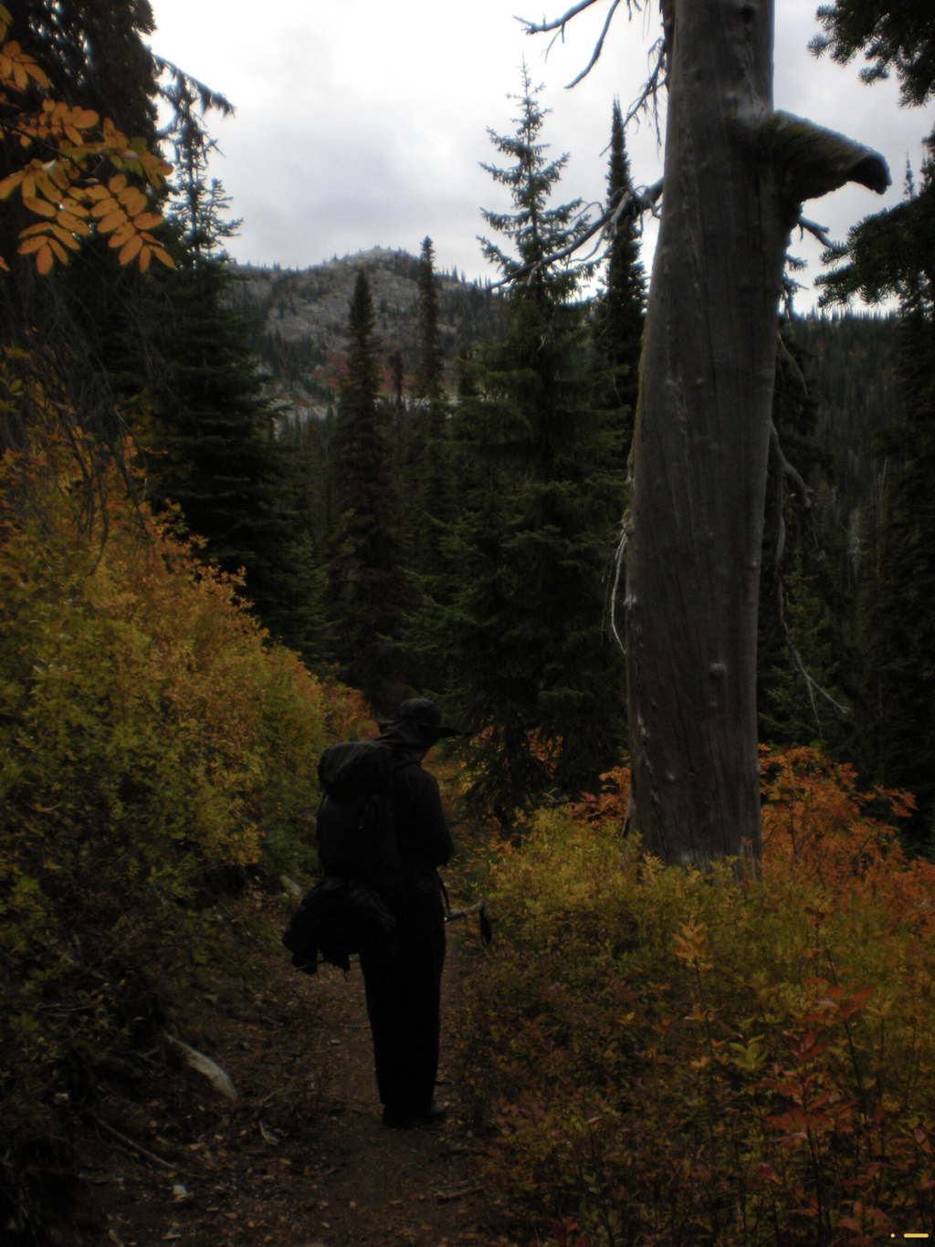
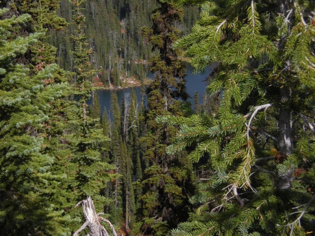
The trailhead is shared by Bottleneck and Snow Lakes. About 1.8 miles up Trail #185, you will come to a junction with Trail 185 that leads you to Snow Lakes. At this junction the trail switchbacks twice before heading up to Bottleneck Lake for about 1.5 miles from the second switchback.
There are two campsites at the base of the lake.
OPTION #1:
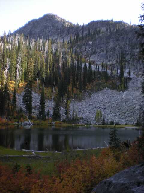
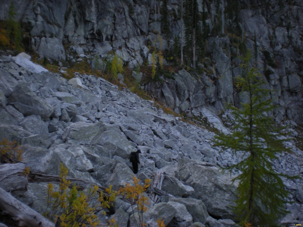
While at the lake, check out a route to the ridge line that Bottleneck Peak sits on. The beginning is a scramble up scree, until just below the summit, on its SE side. Look for a chute on its SE side. There is an upper lake just below the peak to visit. It offers more serenity.
OPTION #2:
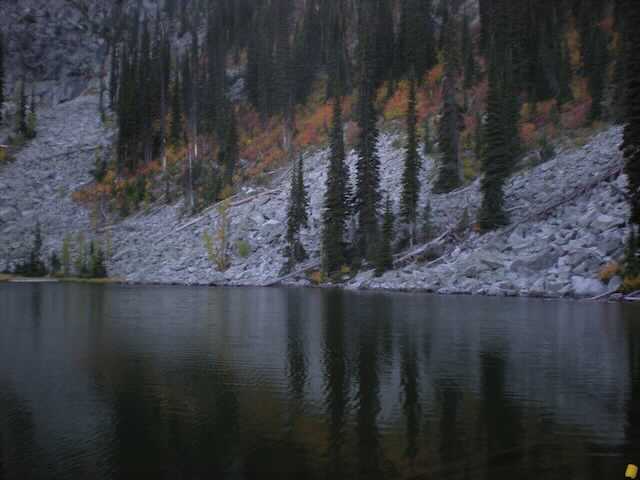
To get to the upper lake, skirt around the lower lake to the left onto a small scree slope, heading SW. Its a short distance to the upper lake.
OPTION #3:
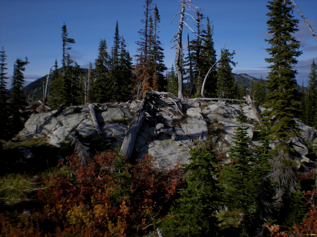
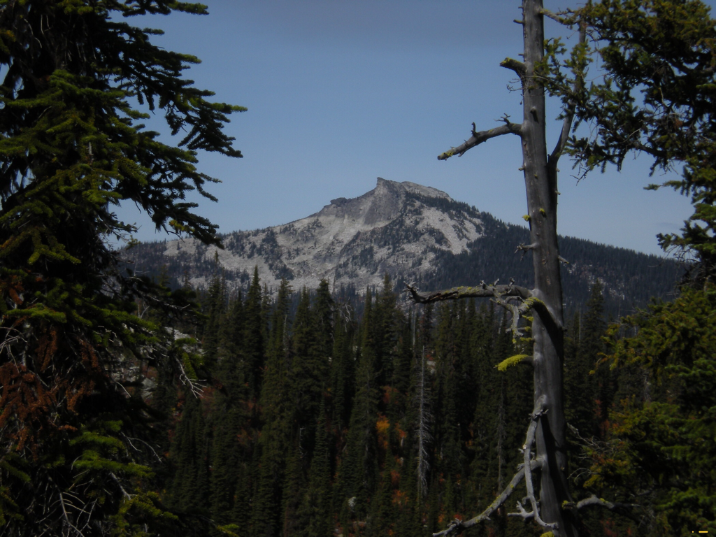
For incredible views of the American Selkirks, scramble up toward the peak, where ever you feel comfortable.
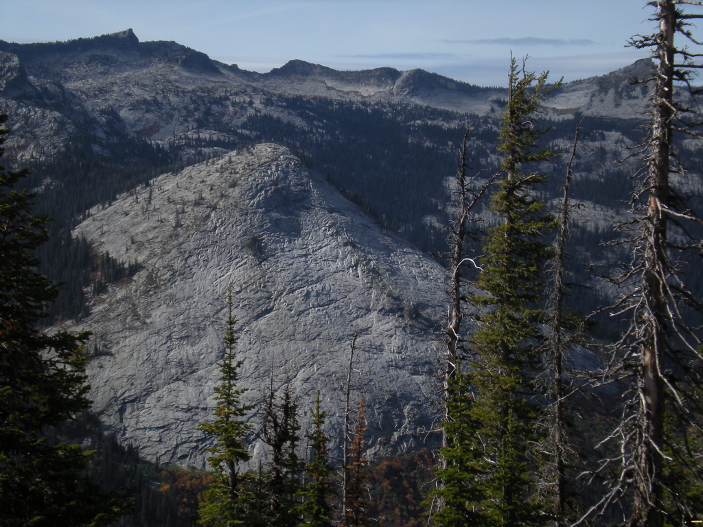
The views of the American Selkirks is spectacular to say the least.
Bottleneck Peak sits at 6923', and should not be missed.
From this ridge is a spectacular view of the Beehive Dome across the Pack River.
The views of the American Selkirks is spectacular to say the least.
Bottleneck Peak sits at 6923', and should not be missed.
From this ridge is a spectacular view of the Beehive Dome across the Pack River.
DIRECTIONS:
As you drive thru Bonner’s Ferry, turn left (west) onto Riverside St. just before the Kootenai River Bridge. Head west on Riverside for about 5 miles, until you come to West Side Road #18. Make a sharp left turn (south) for 2.2 miles, and make another sharp turn right (NE) up F.R. # 402 for about 9.5 miles to the joint trailhead with Snow Lake Lake.
RIVERSIDE ROAD FOLLOWS THE KOOTENAI RIVER, AND SKIRTS BALL FIELDS.
DRIVE THE SPEED LIMIT, OR PAY THE PRICE.
RIVERSIDE ROAD FOLLOWS THE KOOTENAI RIVER, AND SKIRTS BALL FIELDS.
DRIVE THE SPEED LIMIT, OR PAY THE PRICE.
HAZARDS:
No real hazards on Trail #185.
If you decide to scramble to the peak, there are a few exposed sections to the summit.
If you decide to scramble to the peak, there are a few exposed sections to the summit.
COOL THINGS CLOSE BY:
Kootenai National Wildlife Refuge, Myrtle Falls, Burton Peak, Lower & Upper Snow Creek Falls, Roman Nose Lakes & Peak.
R & P:
Eichardt’s, Mr Sub, Burger Express, Jalapeños in Sandpoint.
