BAD MEDICINE LAUNCH AND CG
PADDLE DISTANCE: 4.5 miles
ELEVATION: 2320’
LENGTH AND ACREAGE: 4.5 miles & 1162 acres
MAPS:Kootenai N. F., Bull Lake Topo
LAUNCH GPS: 48°13’11” N 115°51’22” W
LINCOLN COUNTY SHERIFF: 406.293.4112
ELEVATION: 2320’
LENGTH AND ACREAGE: 4.5 miles & 1162 acres
MAPS:Kootenai N. F., Bull Lake Topo
LAUNCH GPS: 48°13’11” N 115°51’22” W
LINCOLN COUNTY SHERIFF: 406.293.4112
DESCRIPTION:
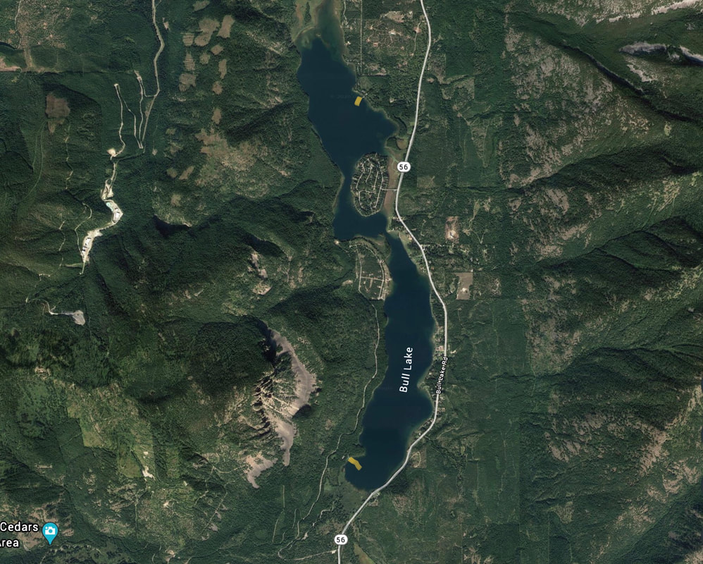
The Bad Medicine C. G. And launch are located on the SW end of the lake. The launch is located south of the camp grounds near the south end of the lake. There is plenty of parking, but the turn around to launch is kind of tight, so if your boat is large, you might want to use the Dorr Skeel C.G. launch on the north end of the lake.
The main body is a little over 2 miles long where the lake narrows before passing by Angel Island. Past the island, the lake continues for about 2 miles
The main body is a little over 2 miles long where the lake narrows before passing by Angel Island. Past the island, the lake continues for about 2 miles
ATTRACTIONS
Bull Lake is located west of the Cabinet Mountain Wilderness along Hwy 56
DIRECTIONS:
From Clark Fork Drive East on Hwy 200 for about 18 miles, passing the Idaho Montana boarder at 7.6 miles. Turn left (north) onto Hwy 56 for about 17 miles, to the turn off for the Bad Medicine & Ross Creek Cedars.
Turn left (west) and follow the road to the boat launch.
Turn left (west) and follow the road to the boat launch.
COOL THINGS CLOSE BY:
Cabinet Mountain Wilderness, Lake Koocanusa, Libby, Rock Lake, the Proposed Scotchman Peak Wilderness, and Kootenai Falls.
R & P:
Clark Fork Pantry In Clark Fork, Henry’s in Libby.


