EVENT TYPE: Day hiking DISTANCE: 12 mile loop ELEVATION: Less then 500 verts DIFFICULTY: Moderate MAPS: Monument Hills, Ephrata SW GPS: 47°35’21” N 119°09’ 54” W MANAGING AGENCY: 509.754.0214 GRANT COUNTY SHERIFF: CALL 911 FIRST or 509.754.2011
DESCRIPTION:
WE HAVE ADDED THE AREAS SHERIFF’S EMERGENCY PHONE NUMBERS FOR EACH TRIP WRITE UP UNDER THE RANGER DISTRICT INFO. IF AN EMERGENCY OCURRS, EVALUATE YOUR CIRCUMSTANCES AND CALL ONLY IF NEEDED. Description coming soon
DIRECTIONS:
From Spokane, drive west on Hwy 2 to Grand Coulee. In Grand Coulee at Hwy 174 & Hwy 155, turn north up Hwy 174, and stay on Hwy 174, heading west to Barker Canyon Rex Road. Turn left (south)and drive about 6 miles to the Barker Canyon parking area.
HAZARDS:
As all Scabs hikes, you must be aware you are in rattlesnake country. Use great caution. Look for snakes sunning themselves, sometimes under or next to rocks. The Scabs are very arid and require lots of water, and sun protection.
COOL THINGS CLOSE BY:
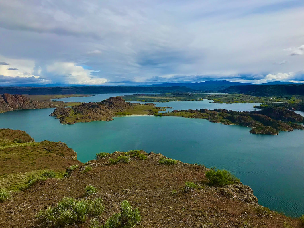
Grand Coulee Dam, Banks Lake, Steamboat Rock, and Northrup Canyon.
R & P:
Lenny’s in Cheney
PHOTO GALLERY
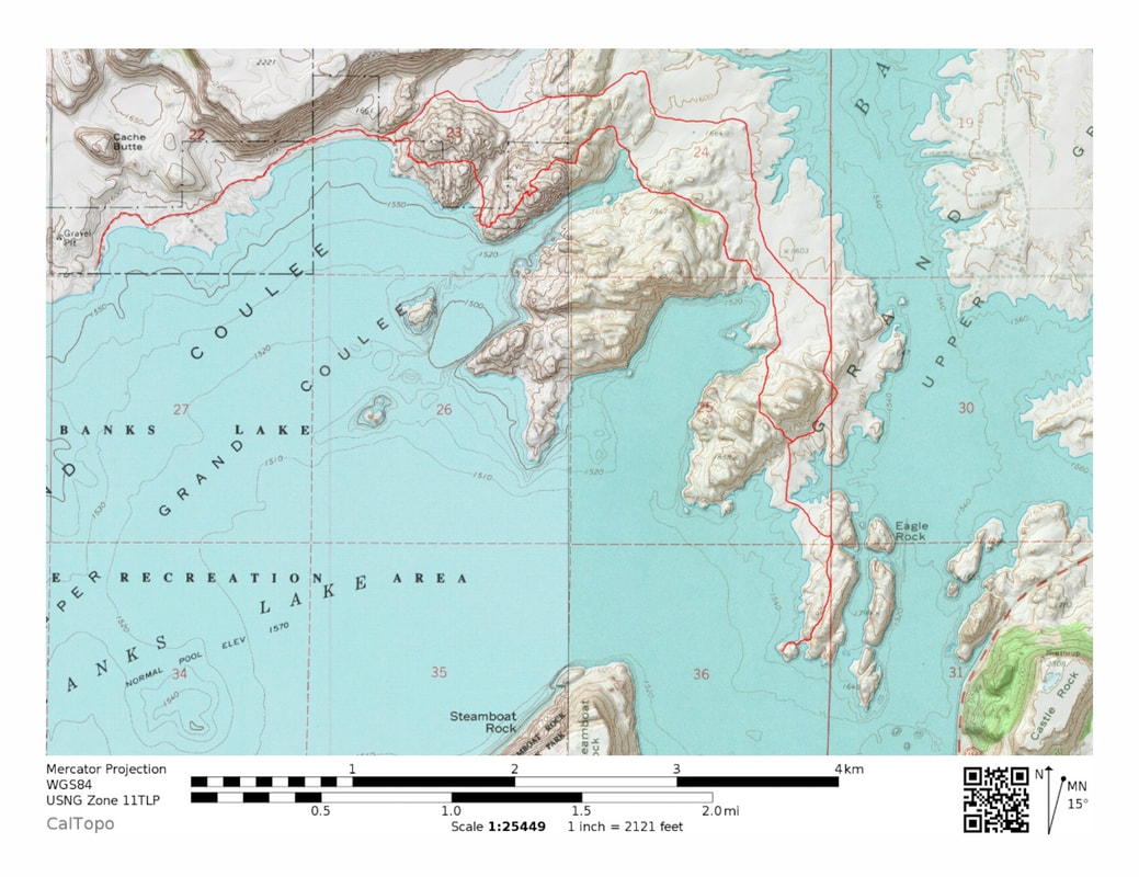
A MAP OF THE TRAIL BY TYLER NYMAN
TO CONTRIBUTE IMAGES, CONTACT CHIC VIA THIS WEBSITE