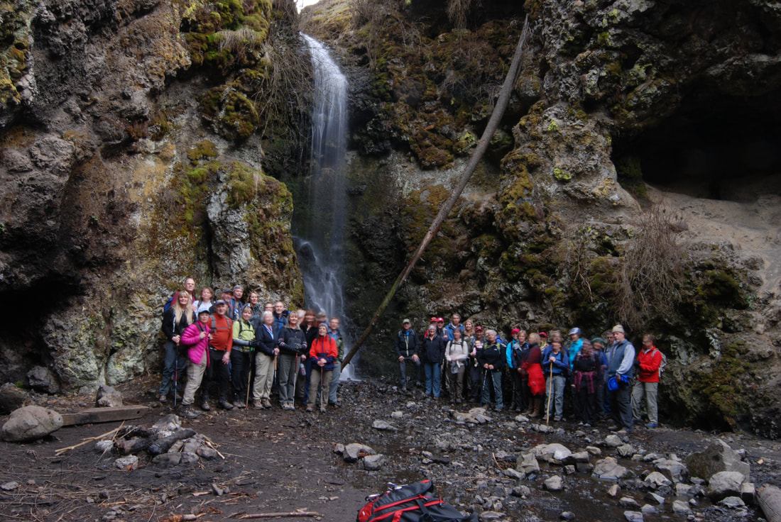
WATERFALL : Palisades Creek Falls DROP: About 30' WATERFALL TYPE: Tiered DISTANCE CAR TO FALLS: 4.2 mile loop MAPS: Spokane County, Spokane SW GPS: 47°39’28” N 117°29’?17” W
DESCRIPTION:
The Palisades Falls are located in the Chief Garry Park. The falls are tucked back into an area that may make it hard to find.
DIRECTIONS:
From the intersection of Government Way and Sunset Blvd, drive north on Government Way to Greenwood Roa, and turn left (W). In a mile bear right at a fork with Indian Canyon Road. Then turn left on a gravel road to parking spots. While at the parking area, walk north for a great view of downtown Spokane. Hike Trail 101 to a junction with Trail 122 and go left. Trail 122.
COOL THINGS CLOSE BY:
Indian Canyon Golf Course, John A. Finch Arboretum, Riverside State Park, and the Spokane River.
HAZARDS:
ALL WATERFALLS ARE A HAZARD, DUE TO THEIR SLIPPERY NATURE. ALWAYS BE EXTRA CAREFUL NEAR ANY WATERFALL. From Priest Lake Ranger District travel 4 miles north to Nordman, then 14 miles north of Nordman, Idaho
R & P:
Its near Spokane, so your choices are unlimited. That is if they can find workers, that is.
PLAN YOUR TRIP:
Click for Current NOAA Weather Conditions
PHOTO GALLERY
MORE IMAGES COMING SOON. TO CONTRIBUTE, CONTACT CHIC