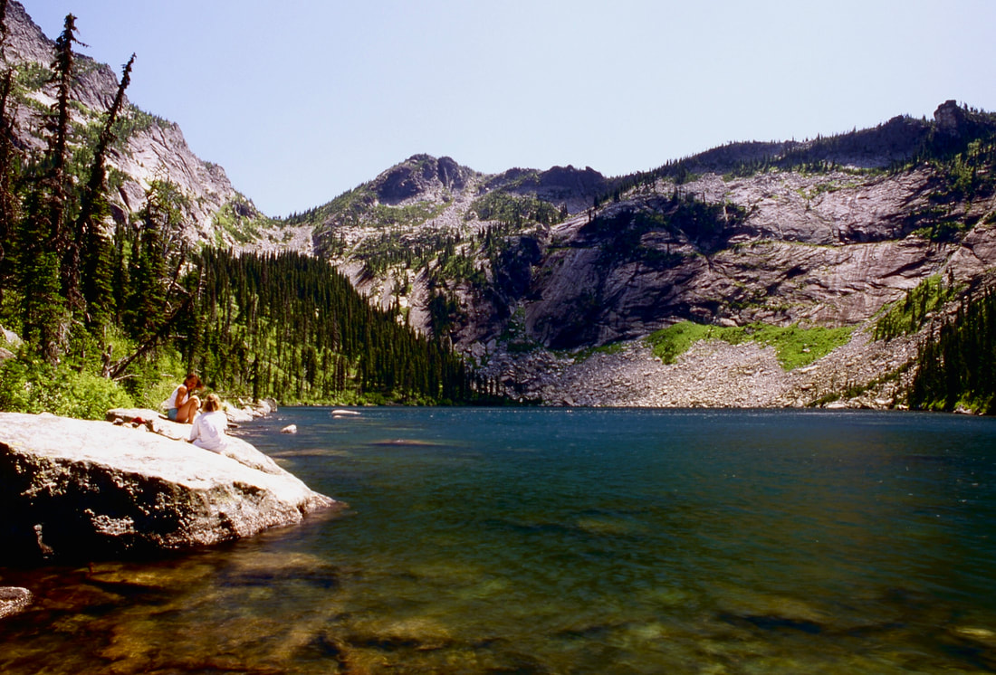
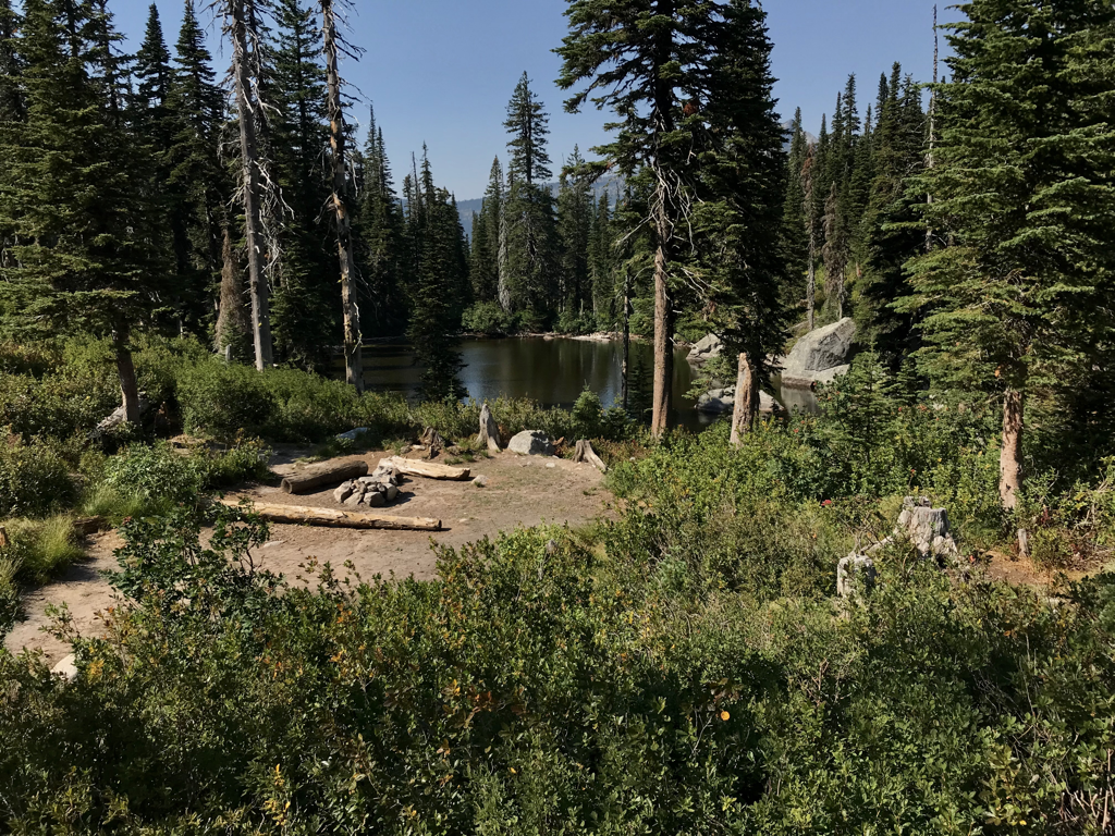
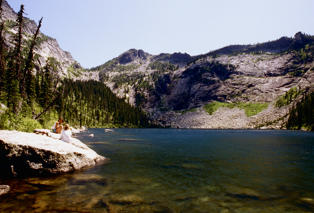
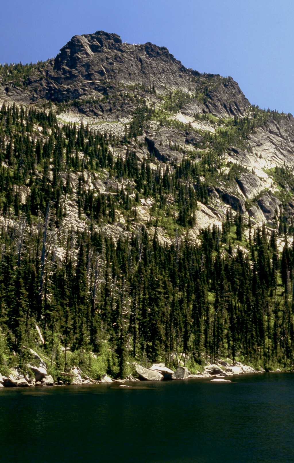
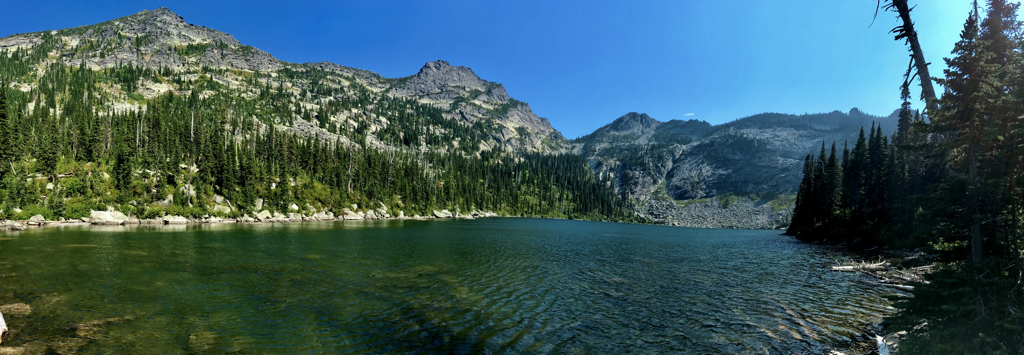
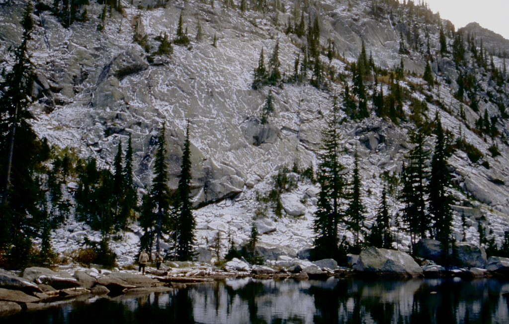
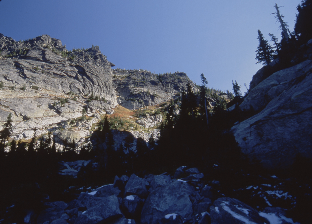
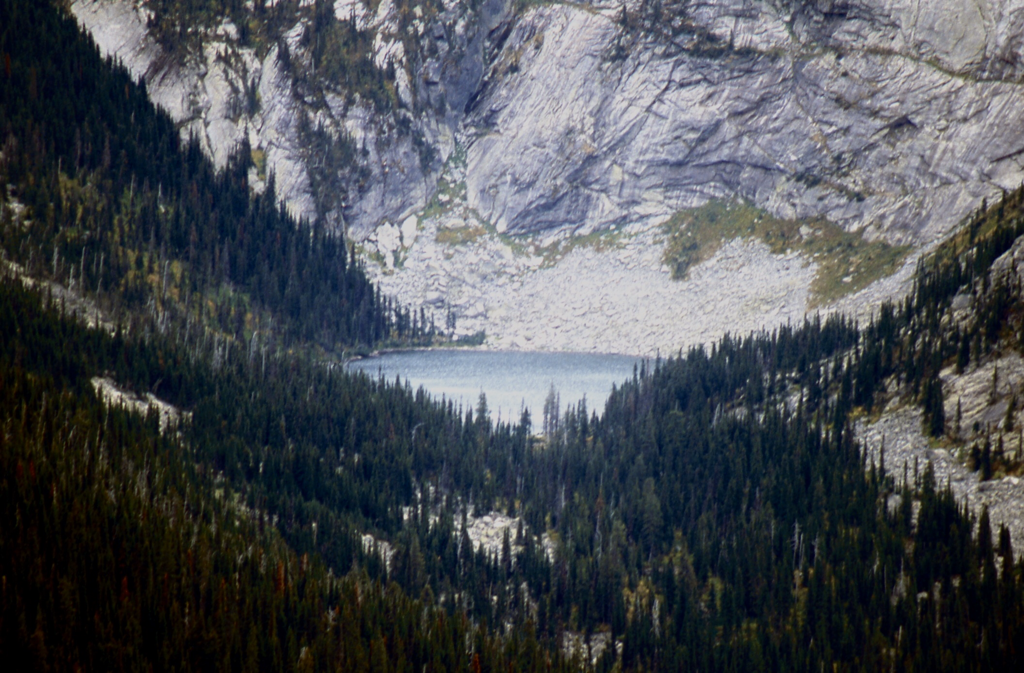
HUNT LAKE 5813' PEAK 6976' GUNSIGHT PEAK 7352' TRAIL #1
EVENT TYPE: Hiking, backpacking, scrambling and climbing
DISTANCE: Lake 2 miles RT, Gunsight Peak about 6 miles RT
ELEVATION GAIN: Hunt Lake 525', Gunsight Peak 2062'
DIFFICULTY: Hunt Lake Moderate, Gunsight Peak Difficult, Hunt Lake to Hunt Peak Difficult
MAPS: IPNF - Kaniksu N.F., USGS - Mt Roothaan, Idaho
GPS: 48°35’3.4”N 116°43’4.6”W
RANGER DISTRICT: Sandpoint R.D. 208.263.5111
BONNER COUNTY SHERIFF: CALL 911 FIRST or 208.263.8417
DESCRIPTION:
WE HAVE ADDED THE AREAS SHERIFF’S EMERGENCY PHONE NUMBERS FOR EACH TRIP WRITE UP UNDER THE RANGER DISTRICT INFO. IF AN EMERGENCY OCURRS, EVALUATE YOUR CIRCUMSTANCES AND CALL ONLY IF NEEDED.
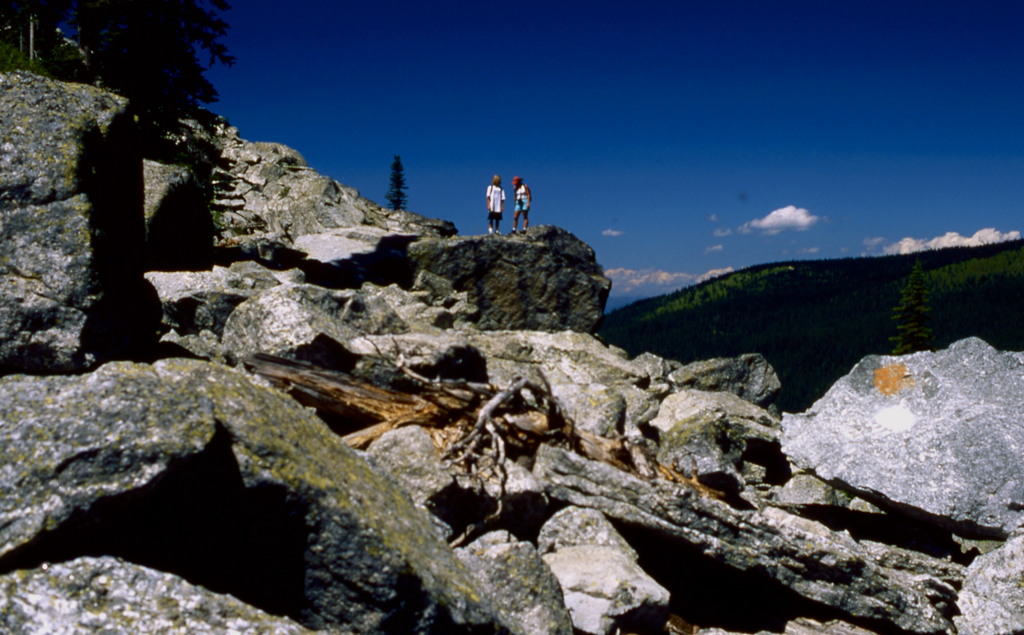
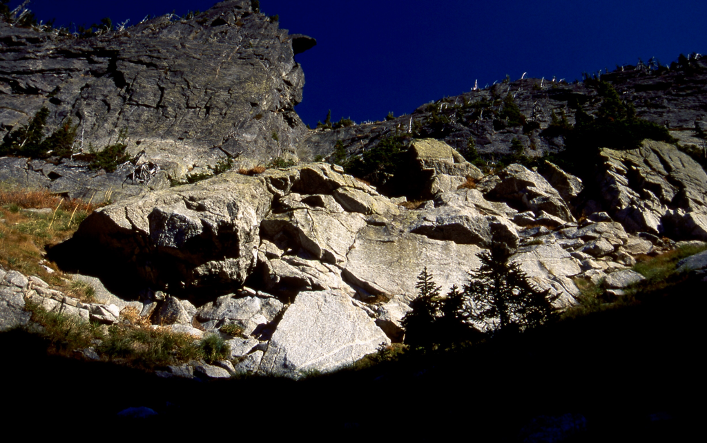
Look for a sign post that starts the hike. The trail quickly drops down 20 verts before ascending and entering the boulder field that makes up the rest of the "Trail'. Past methods of route finding were to follow the spray painted circles on the rocks as you ascend. However, many feet have created a path off the rocks. Stay along the tundra on the right side, until you see a path across the scree field, up on the first shelf. The path crosses the boulder field here and continues up the left side of the old trail to the lake. The new trail allows for faster ascents, and isn't as difficult. Sometimes the trail is a ways away from the scree field as it snakes up thru the woods. There will be several places you have to scramble out not the scree.
Follow the pale green surveyor ribbon along the left side of the giant scree slopes. There are some orange surveyor tapes on the left side that are okay to follow.
This whole trail climbs up and to the left.
When you reach the first bench going up, as mentioned above, turn around and shoot an image of where you exit the scree slopes, to the left, out to the trailhead.
DIRECTIONS:
From the East Shore Road drive 7.3 miles past Cavanaugh Bay to the Hunt Creek Road #24. Turn right (east) onto #24. Stay on #24 bearing left at the first “Y”. You will come to the old #24 and 241 sign and a ”Y”
The #241 sign has been replaced with a #243 wooden sign bolted over 241.
And there’s a board with HUNT LAKE written on it, leaning against the #24 post.
Please heed this warning….NO CARS OR TRUCKS WITHOUT HIGH CLEARANCE FOR THE LAST 2 MILES.
The #241 sign has been replaced with a #243 wooden sign bolted over 241.
And there’s a board with HUNT LAKE written on it, leaning against the #24 post.
Please heed this warning….NO CARS OR TRUCKS WITHOUT HIGH CLEARANCE FOR THE LAST 2 MILES.
OPTION #1:
Hunt Lake to Gunsight Peak
Hike around the west side of the lake to the SE corner. Look for a low spot on the ridge above on the east side of the lake. Its 927' gain to the saddle. Turn left (north) and head up hill for 612' to Gunsight Peak.
Hike around the west side of the lake to the SE corner. Look for a low spot on the ridge above on the east side of the lake. Its 927' gain to the saddle. Turn left (north) and head up hill for 612' to Gunsight Peak.
OPTION #2:
Hunt Lake to Fault Lake
After hiking to Hunt Lake, scramble as indicated in OPTION #1 to the ridge above Hunt Lake. Head due south along the high ridge for about a mile to Peak 6514'. Look for a notch along the ridge to descend to Fault Lake. From Fault Lake, head down Trail #59 to it's trailhead.
After hiking to Hunt Lake, scramble as indicated in OPTION #1 to the ridge above Hunt Lake. Head due south along the high ridge for about a mile to Peak 6514'. Look for a notch along the ridge to descend to Fault Lake. From Fault Lake, head down Trail #59 to it's trailhead.
OPTION #3:
From OPTION #2, Peak 6514', head south for about 1/2 a mile to Hunt Peak
HAZARDS:
Too many to list, so be extra careful in all aspects of these hikes
COOL THINGS CLOSE BY:
Fault Lake, Gunsight Peak, Priest Lake, Lions Creek Slides, and Upper Priest Lake
R & P:
Jalapeños, Eichardt's, Mr Sub, Burger Express, Sandpoint
