EVENT TYPE: Sight seeing DISTANCE: .5 miles ELEVATION: minimal DIFFICULTY: easy MAPS: Elk Creek Falls National Recreation Area map. GPS: 46°88’80” N 116°11’82” W RANGER DISTRICT: Palouse R.D. 208.875.1131 CLEARWATER COUNTY SHERIFF: CALL 911 FIRST or 208.476. 4521
DESCRIPTION:
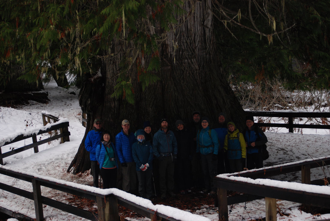
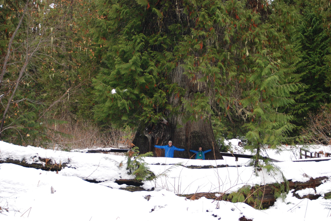
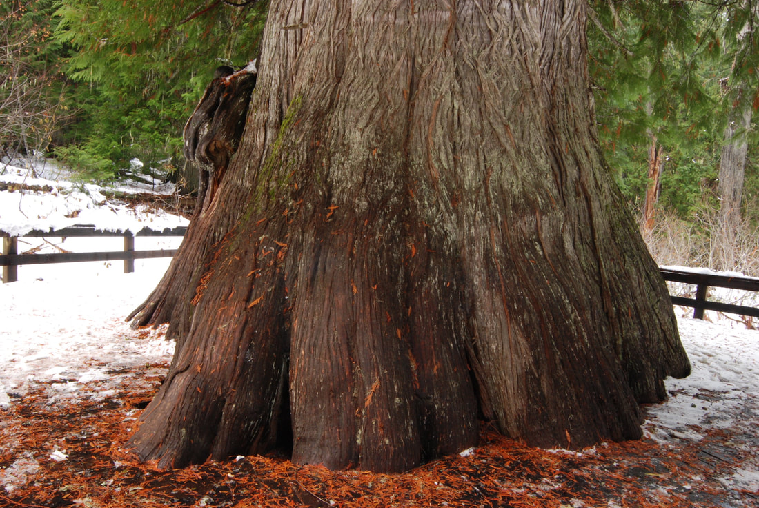
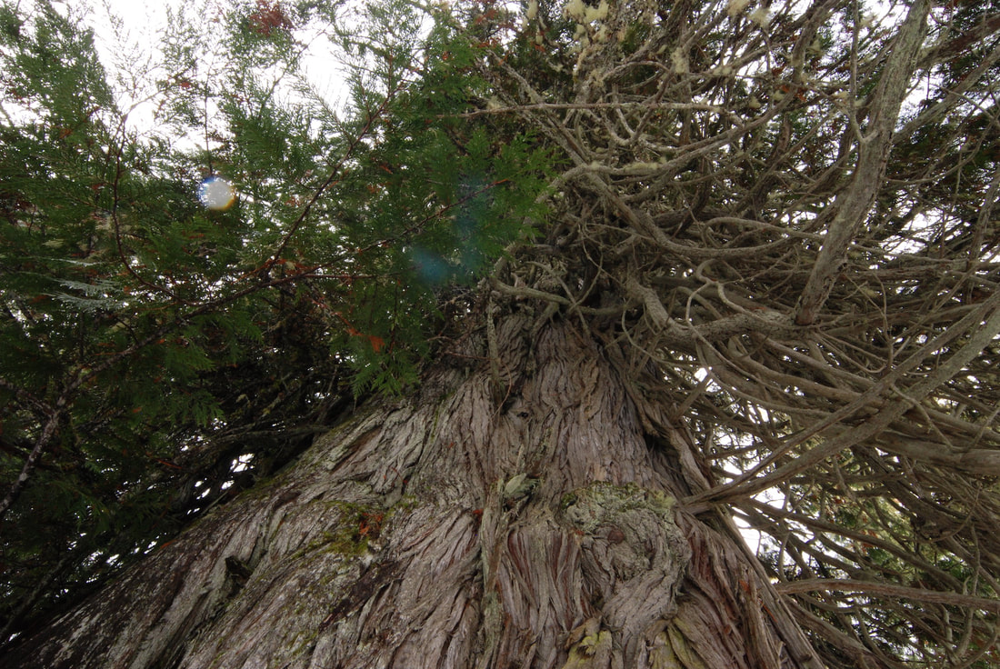
WE HAVE ADDED THE AREAS SHERIFF’S EMERGENCY PHONE NUMBERS FOR EACH TRIP WRITE UP UNDER THE RANGER DISTRICT INFO. IF AN EMERGENCY OCURRS, EVALUATE YOUR CIRCUMSTANCES AND CALL ONLY IF NEEDED.DO NOT MISS THIS HIKE. ITS BEYOND BELIEF. The trail to the Giant Western Red Cedar is only .5 miles from the parking area, but you will talk about it for years to come. The trail is paved, and wonders among giant. But then the grand daddy of all Cedars, stands proud before you. PLEASE DO NOT TOUCH THE TREE, AND KEEP YOUR CHILDREN FROM CLIMBING ON ITS MASSIVE ROOTS. The USFS built a deck around it, because its roots were being damaged. That damage can harm the ancient tree.
DIRECTIONS:
From Elk River take County Road #382 north for about 10 miles, turn right on F.S.Road 4764. The trailhead is .25 miles beyond the parking area. Be sure to pick up a brochure of the area.
COOL THINGS CLOSE BY:
Elk Creek Falls National Recreation Area, the a giant Western Red Cedars, Dworshak Reservoir, and the Hobo Cedar Grove.
HAZARDS:
No hazard, beyond walking on your Lowe jaw.
R & P:
NA
PHOTO GALLERY
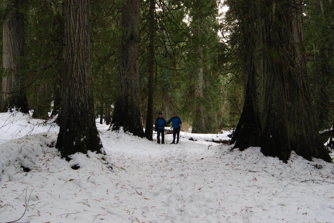
TWO HIKERS WALKING INTO THE GIANTS
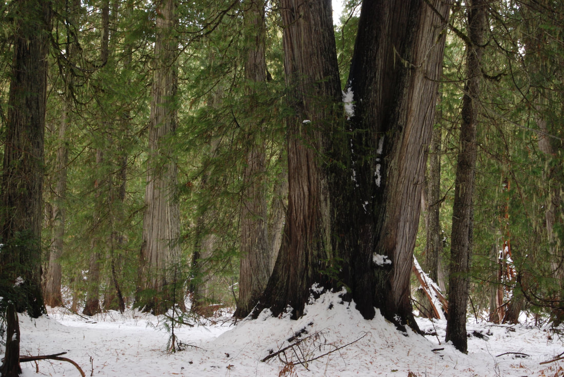
GIANT RED CEDAR ALONG TO TRAIL TO THE GIANT
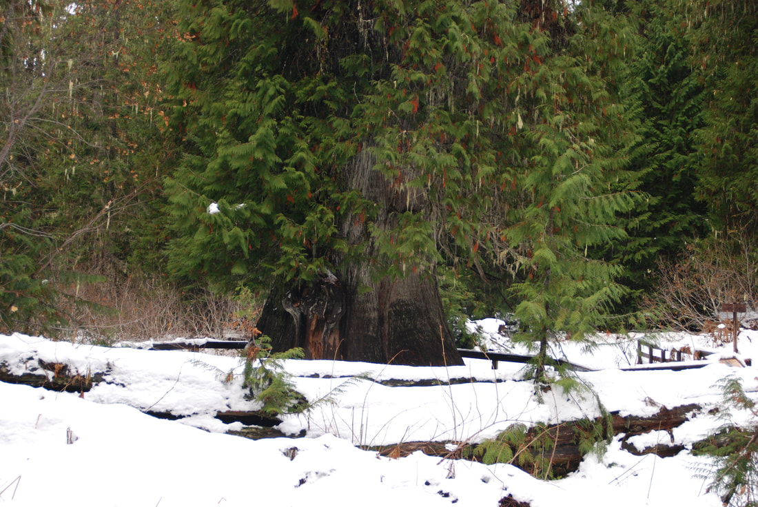
FIRST SITE OF THE GIANT
TYLER & SHUWEN ARM MEASURING THE GIANT.
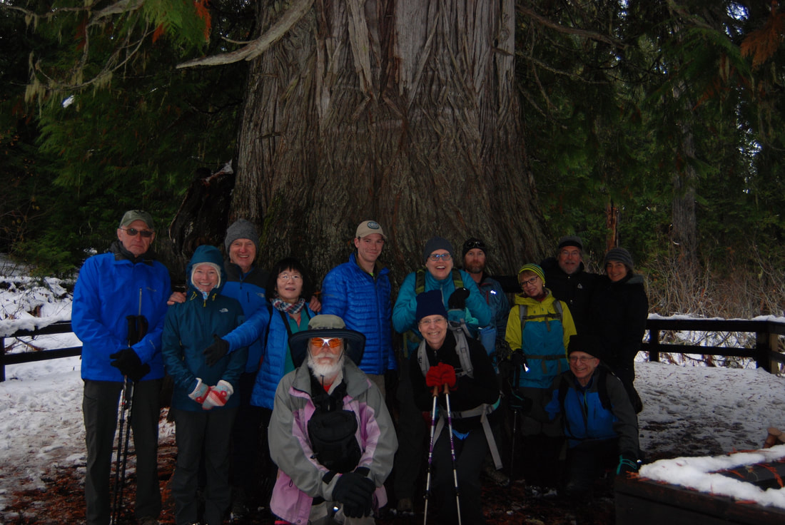
MEMBERS OF THE SPOKANE MOUNTAINEERS POSING IN FRONT OF THE GIANT
THE GIANT
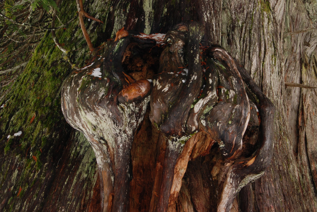
BURLES LIKE THIS ONE, HOLD ALL THE DNA OF THE TREE.