EVENT TYPE: Walking, Birding, Cross-country skiing and Snow-shoeing DISTANCE: 1.5 miles ELEVATION: Minimal gain at 2032’ elevation. DIFFICULTY: Easy MAPS: Saltese Flats Open Trails GPS: 47° 38’ 26.2”N 117° 07’ 34.3”W SPOKANE COUNTY PARKS: 509.456.4730 SPOKANE COUNTY SHERIFF: CALL 911 FIRST or 509.477.2240
DESCRIPTION:
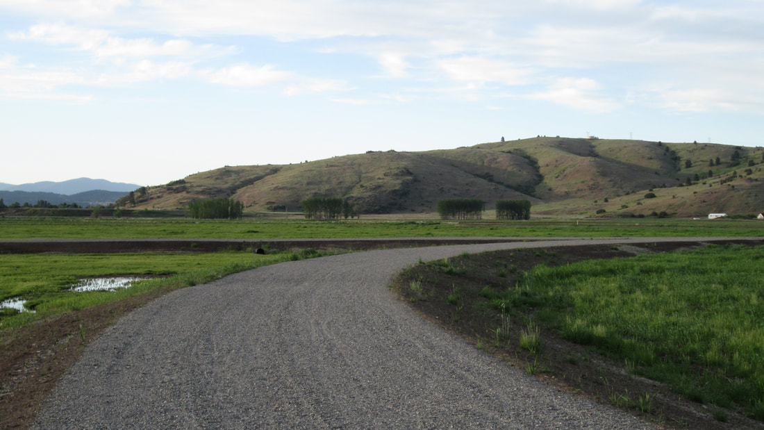
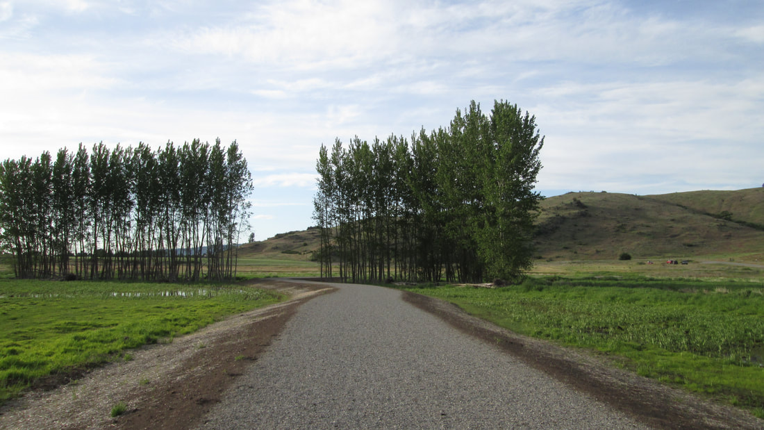
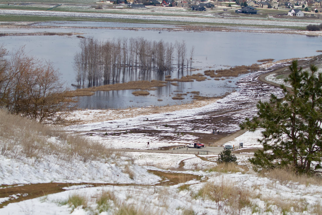
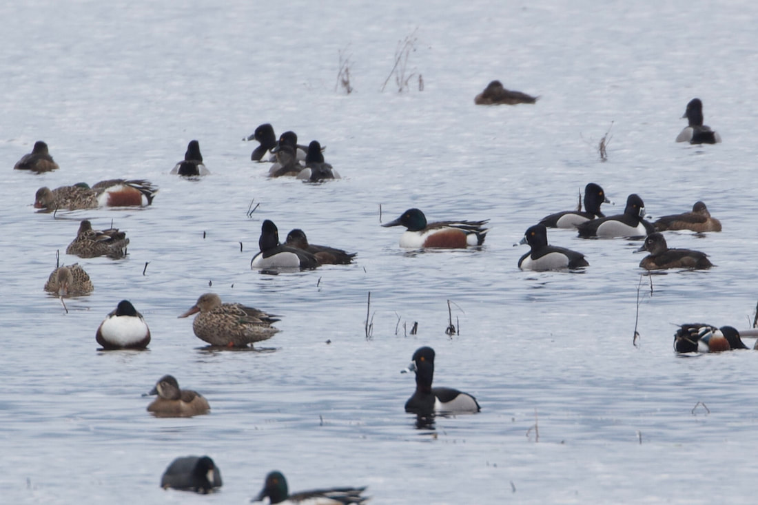
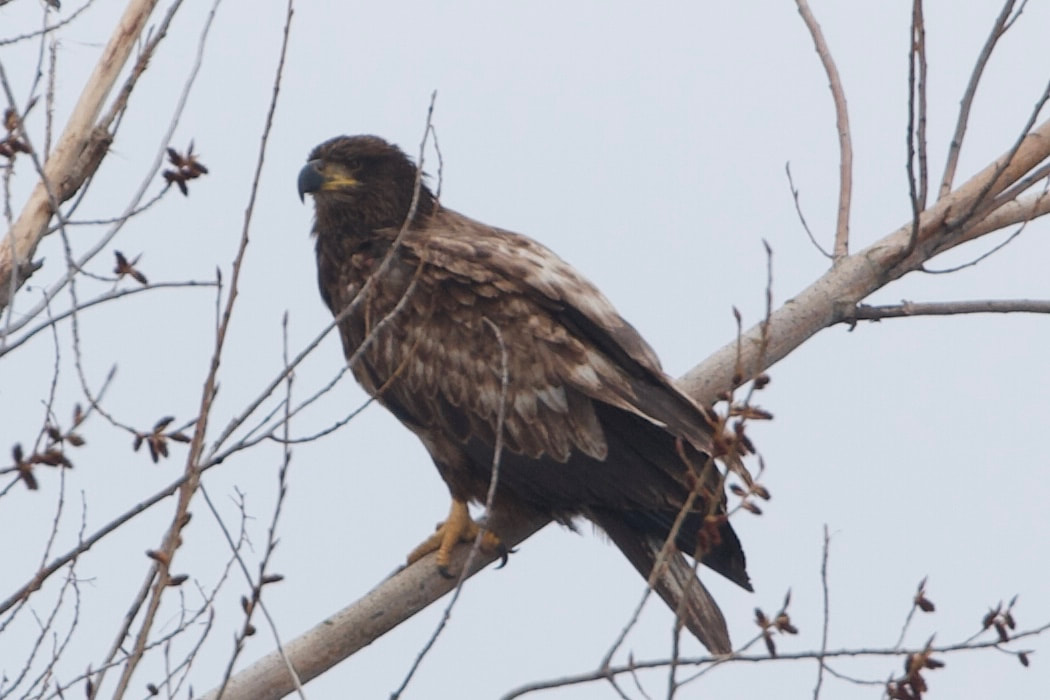
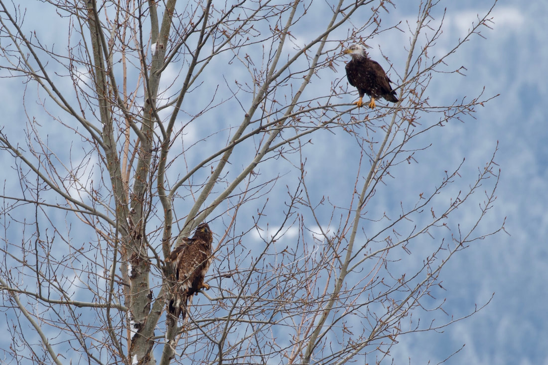
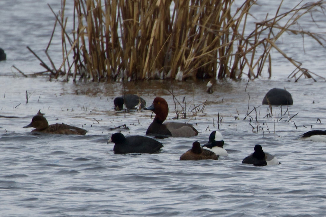
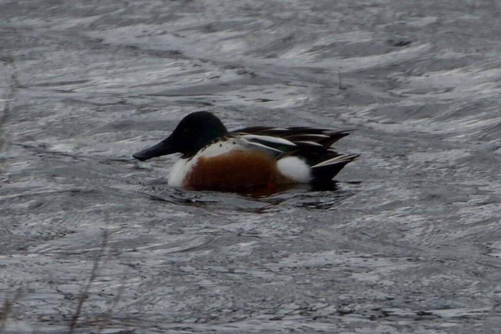
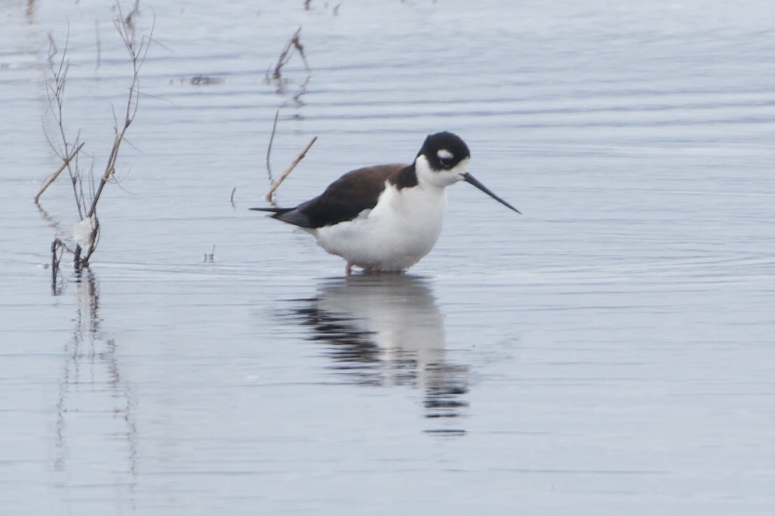
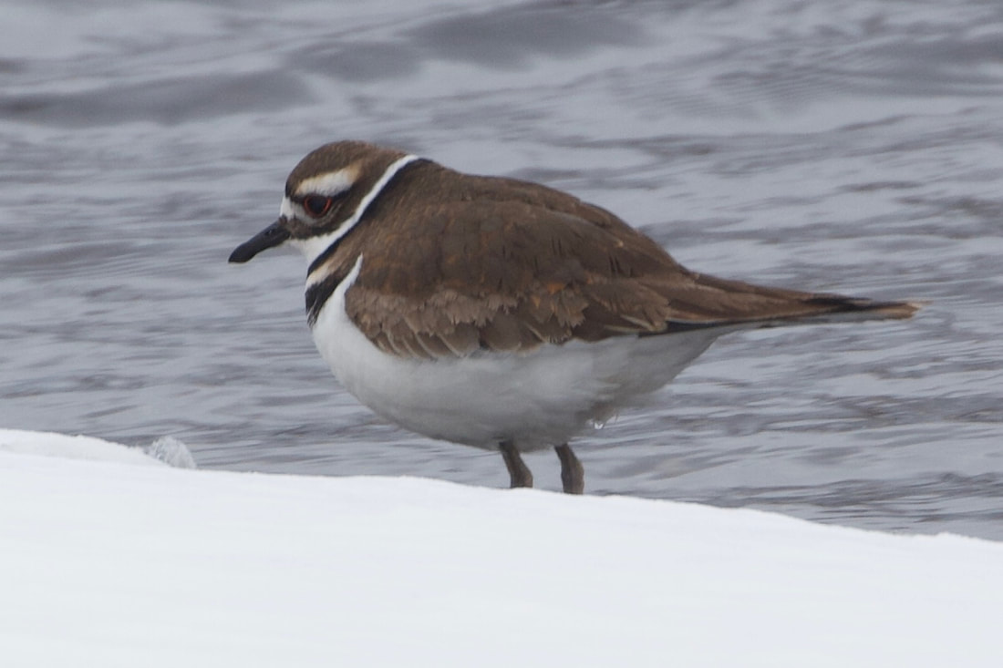
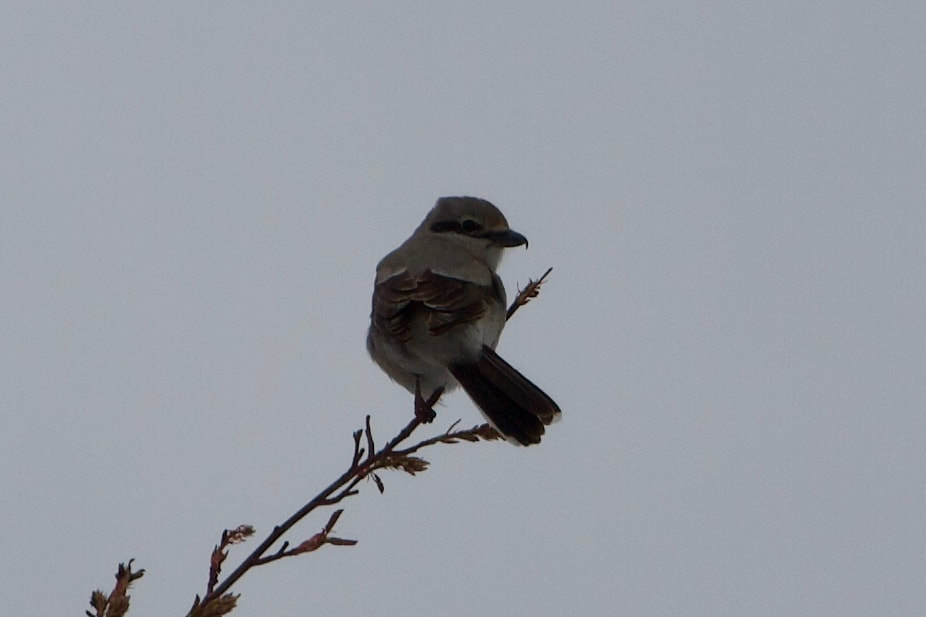
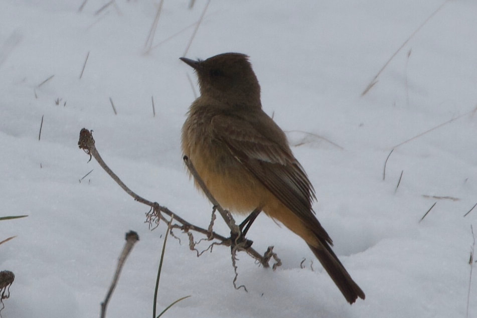
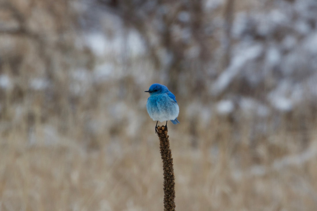
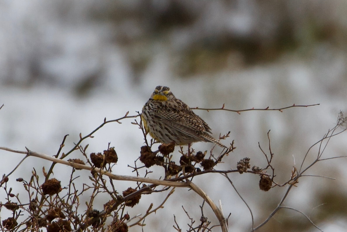
Spokane county partially opened the trail in May 2020. It is a raised bed of crush rock so it is high and dry. It meanders through the wetlands with remarkable views of Mica Peak and the Saltese Uplands. Many species of migratory birds stop here to refuel. The trail is dead flat so it does not get any easier than that.
DIRECTIONS:
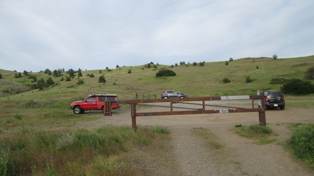
Access to the trail is from Henry Road at the northeast corner of the site. The best parking is about a half mile north at the Saltese Upland Conservation Area Trailhead.
COOL THINGS CLOSE BY:
Saltese Uplands, Mica Peak, and Liberty Lake.
HAZARDS:
None
R & P:
Snow Eater Brewery, Trailbreaker Cider, Liberty Lake County Park
PLAN YOUR TRIP:
Click for Current NOAA Weather Conditions
PHOTO GALLERY
TRAIL HEAD PARKING LOT
THE START OF THE RAISED GRAVEL TRAIL LOOKING SOUTH
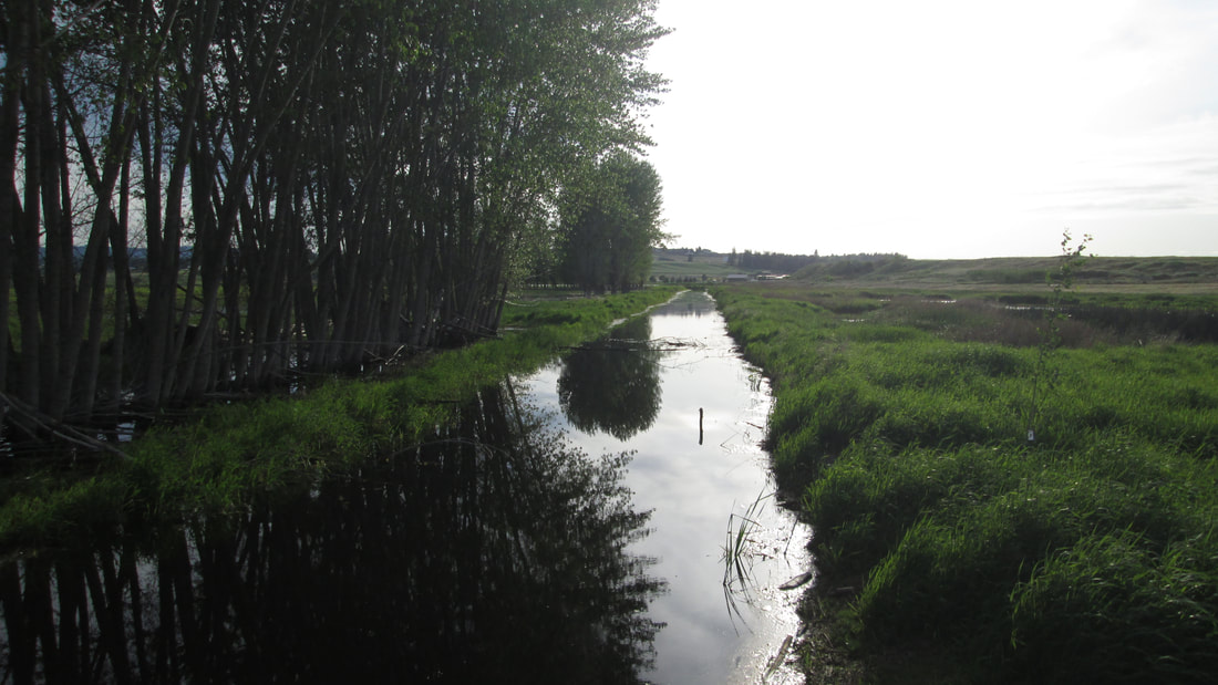
SALTESE CREEK
LOOKING BACK TOWARD THE TRAIL HEAD AND PARKING LOT
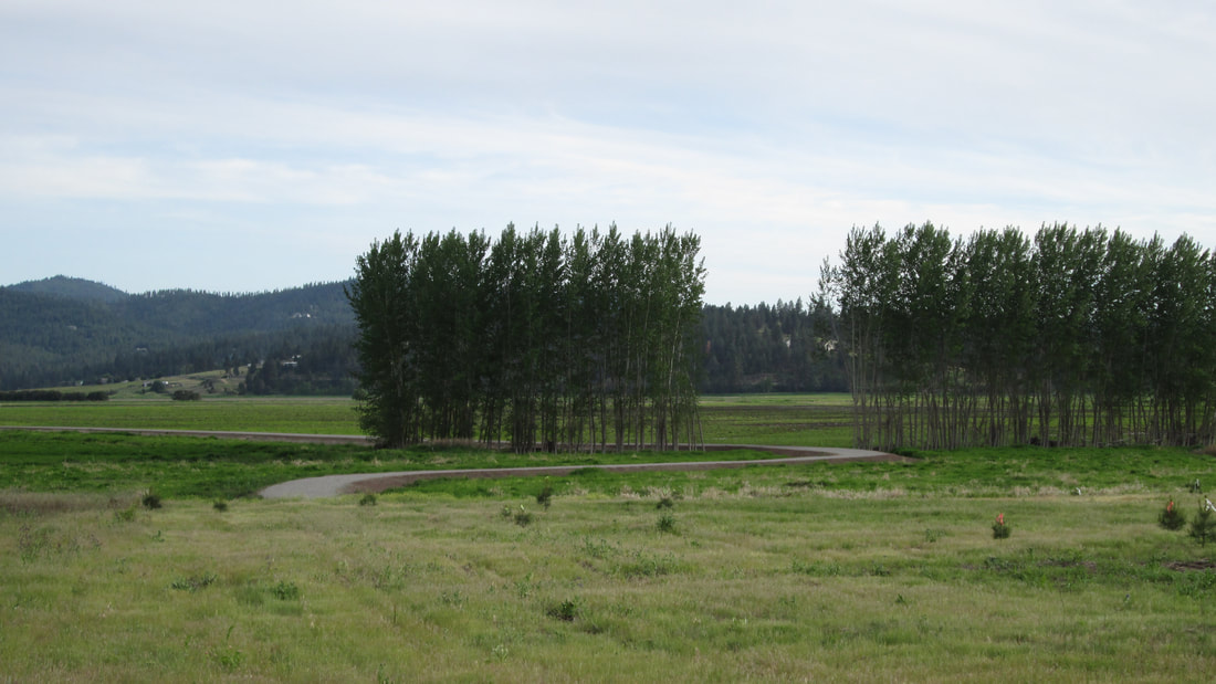
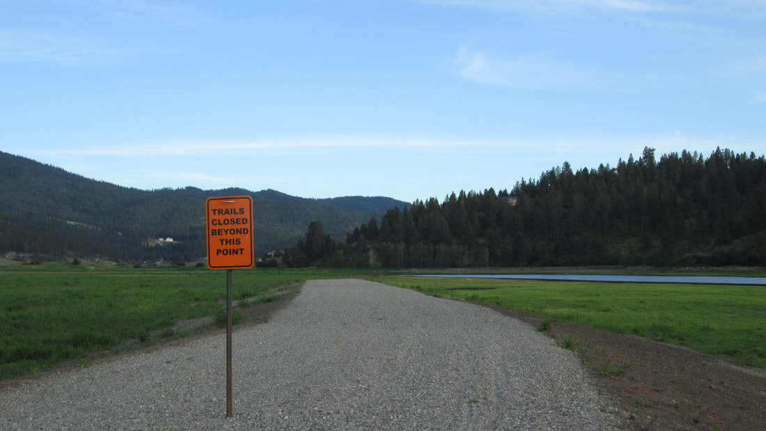
LOOKING FROM THE SOUTH END OF THE TRIAL NORTH TO THE TRAIL HEAD