EVENT TYPE: Hike, backpack and Mountain Bike DISTANCE: About 8 miles RT. (Pyramid Pass 2.7 miles and 1300 vents ELEVATION GAIN: About 340' loss and 375' gain DIFFICULTY: Moderately easy MAPS: IPNF-Kaniksu N. F., USGS Pyramid Peak GPS: 48° 48’ 15.6”N 116° 36’ 02.0”W RANGER DISTRICT: Bonners Ferry R.D. 208.267.5561 BOUNDARY COUNTY SHERIFF: CALL 911 FIRST or 208.267.3151
DESCRIPTION:
WE HAVE ADDED THE AREAS SHERIFF’S EMERGENCY PHONE NUMBERS FOR EACH TRIP WRITE UP UNDER THE RANGER DISTRICT INFO. IF AN EMERGENCY OCURRS, EVALUATE YOUR CIRCUMSTANCES AND CALL ONLY IF NEEDED. From the Pyramid Lakes trailhead, hike Trail #13 SW for 1/2 a mile to the junction with Traill #43 (Pyramid Lake Trail). Bear right at the sign and trail register, still on Trail #13 to Pyramid Pass.
After a snack at the pass, drop down Trail #7 to a junction with the Long Mt. Lake. Turn right onto Trail #221 and climb the 540 feet to a saddle above Long Mt. Lake. Its about 1/2 a mile and 235' loss to the lake. There are campsites at the lake for lunch, or you can climb a short distance to the north ridge above the lake for lunch with a view. Instead of returning on the trail in, continue up the ridge you had lunch on to the top of Long Mountain 7265'. At the summit you can walk the ridge line SE back to Trail #221, and out.
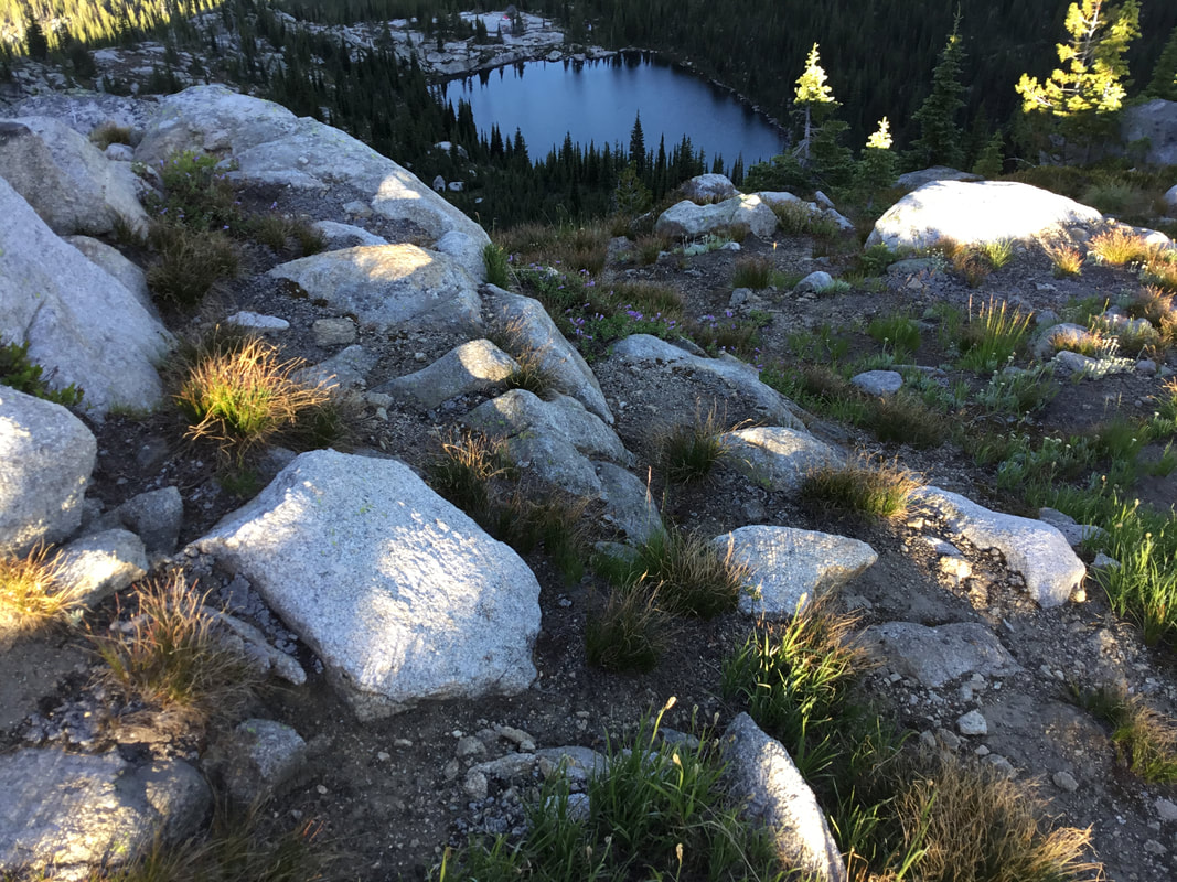
This lake is secluded and with the white granite rocks surrounded by the fall colors, its amazing.
OPTION #1
From Pyramid Pass, you can scramble NE up a steep ridge to an ever higher ridge. Once on top, hike NW to a prominence and look for a descent route to the ridge line leading down to Long Mountain Lake
DIRECTIONS:
From the Kootenai Wildlife Refuge, drive about 10 miles north on FR 417 or West Side Road, to FR #634 Trout Creek. Follow Trout Creek west for 9 miles to the trailhead.
HAZARDS:
None of note on Trail #221. However, if you choose the high ridge line, take care on the ridge, and the descent to Long Mountain’s ridge line.
COOL THINGS CLOSE BY:
Pyramid Pass & Lakes, Parker Peak, Long Canyon, Trout Lake, the Kootenai National Wildlife Refuge, Myrtle Falls, Snow Creek Falls, and the Purcell Trench.
R & P:
Jalapeños, Eichardt's, Burger Express, Mr. Sub, Sandpoint
PHOTO GALLERY
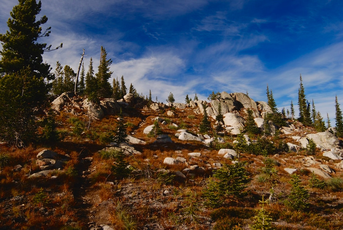
A BEAUTIFUL TRAIL TO LONG MOUNTAIN LAKE & PEAK
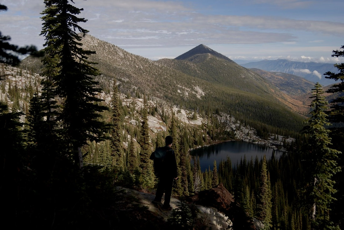
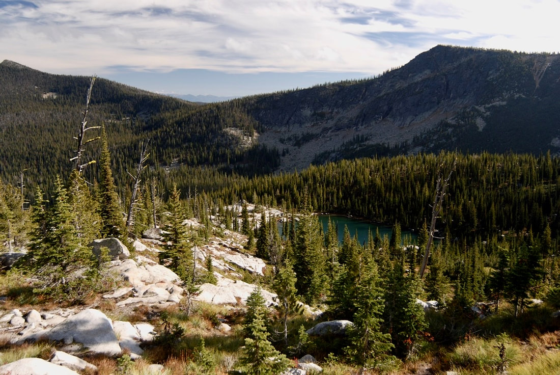
CHRIS ENJOYING THE VIEW OF LONG MOUNTAIN LAKE, WITH PARKER PEAK
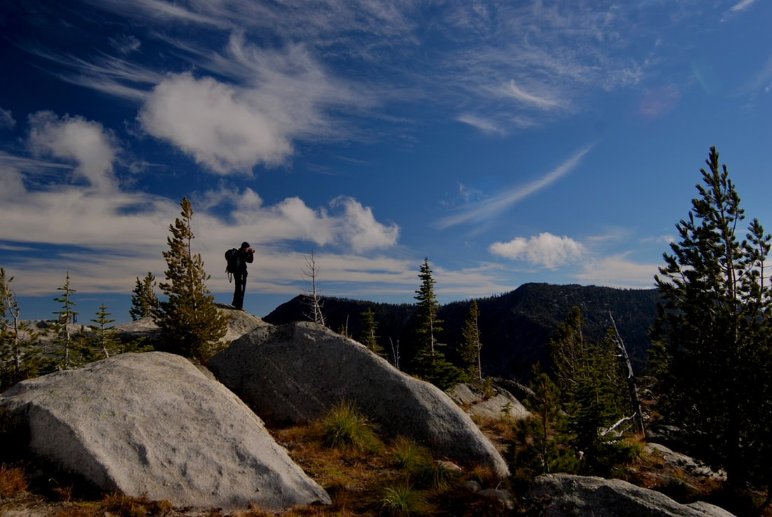
CHRIS PHOTOGRAPHING THE SURROUNDING AREA ABOVE LONG MOUNTAIN LAKE
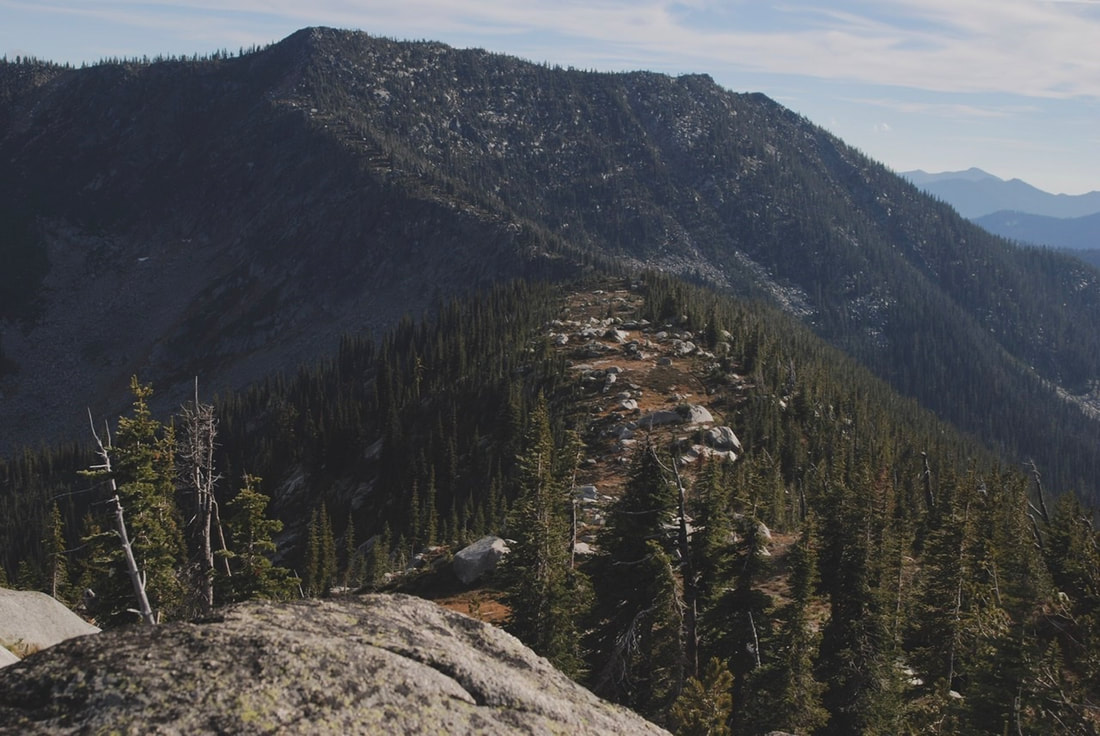
RIDGE LINE LEADING UP TO LONG MOUNTAIN, FROM LONG MOUNTAIN LAKE AFTER THE LAKE, YOU CAN WALK THIS RIDGE UP TO LONG MOUNTAIN SUMMIT AND THE TRAIL DOWN
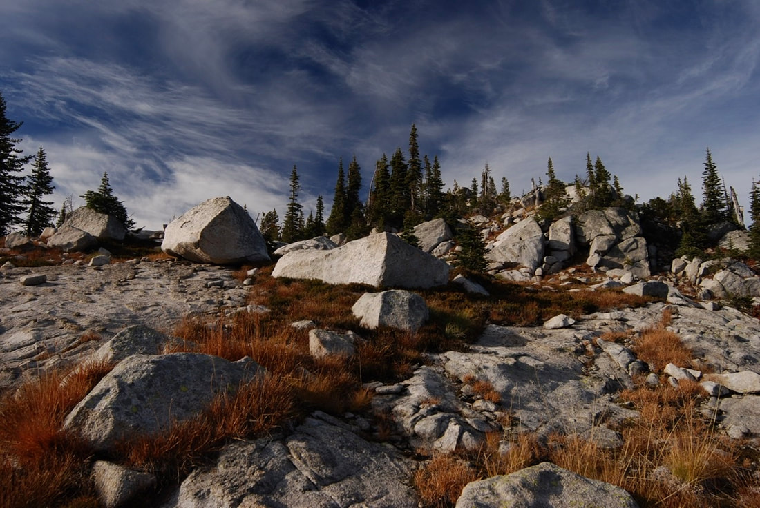
WE HIKED THIS RIDGE BACK TOWARD PYRAMID PASS FOR THE VIEWS
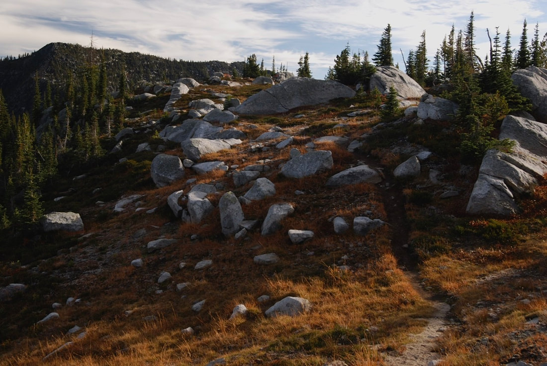
A BEAUTIFUL MAIN TRAIL LEADNG AWAY FROM LONG MOUNTAIN LAKE