PADDLE DISTANCE: varies ELEVATION: 1991’ LENGTH AND ACREAGE:varies MAPS: IPNF, Sandpoint Topo LAUNCH GPS: 48°51’09” N 117°23’09” W BOUNDARY COUNTY SHERIFF: 208.267.3151
DESCRIPTION:
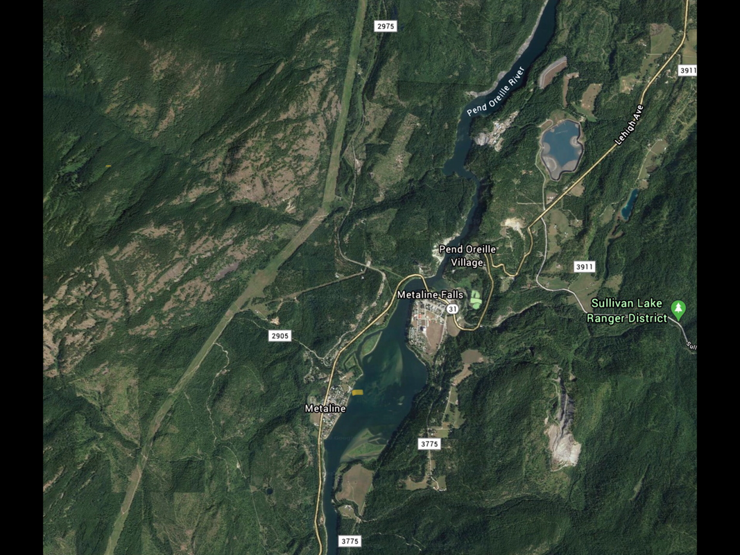
When a Seattle Power and Lights bought or leased the Box Canyon and Boundary Dams, there agreement was to turn the area between the dams into a park like atmosphere. A few years ago they finished the project. There is a lot of river to paddle up towards Box Canyon Dam, heading north up towards the Metaline Falls Bridge. PLEASE BE AWARE...THERE IS A PARTIAL BLOCKAGE OF THE RIVER JUST PAST THE BRIDGE. STAY TO YOUR LEFT, UP TIGHT TO THE CLIFFS.
ATTRACTIONS
Great paddling up stream. Peaceful flat water paddling.
DIRECTIONS:
On the way to Boundary Dam, on Hwy 31, turn right at in Metaline, onto N. Main Ave. At the second left, turn into the launch site and park.
COOL THINGS CLOSE BY:
Pewee Falls, Box Canyon Dam, Crawford State Park & Gardner Cave, Boundary Dam, Ratt Island, and Sullivan Lake.