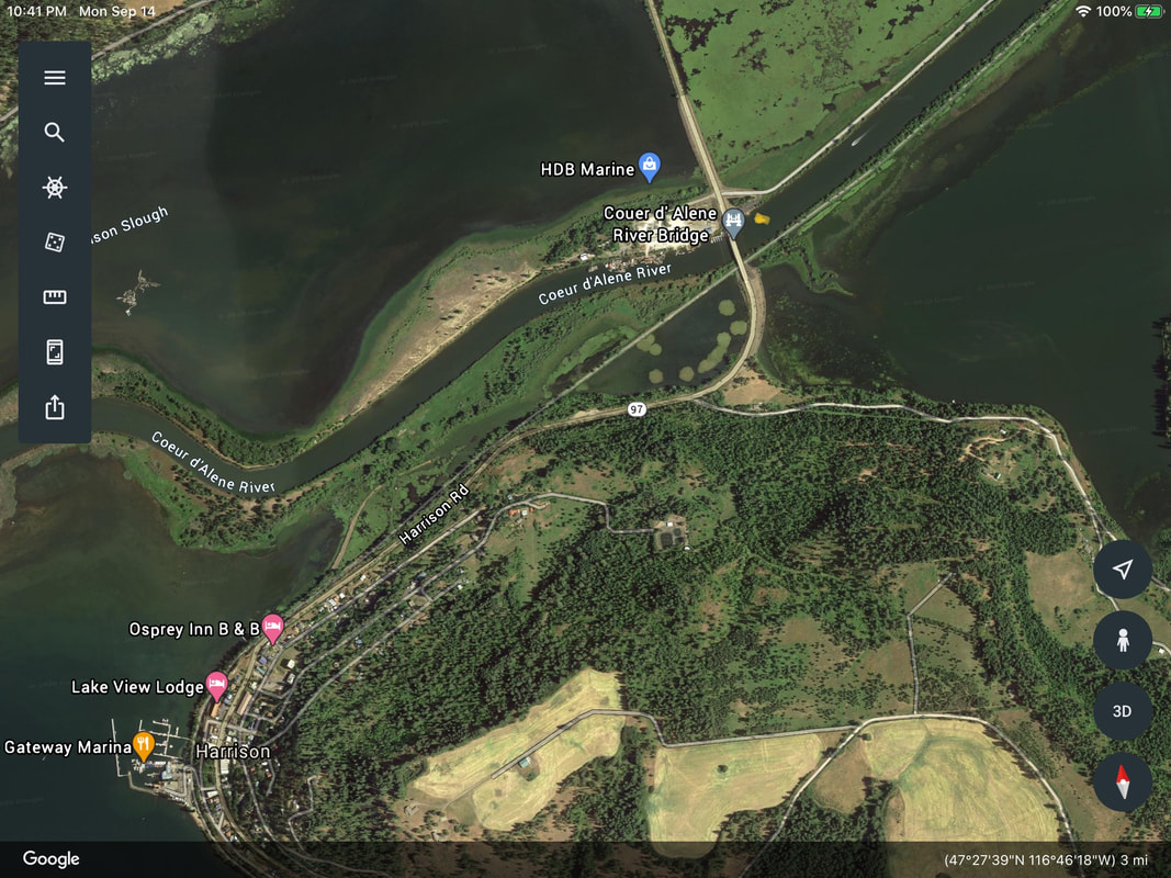
PADDLE DISTANCE: varies ELEVATION: 2128’ LENGTH AND ACREAGE: MAPS: Plummer NE Topo LAUNCH GPS: 47°27’57” N 116°45’53” W BONNER COUNTY SHERIFF: 208.263.8417
DESCRIPTION:
WE HAVE ADDED THE AREAS SHERIFF’S EMERGENCY PHONE NUMBERS FOR EACH TRIP WRITE UP UNDER THE RANGER DISTRICT INFO. IF AN EMERGENCY OCURRS, EVALUATE YOUR CIRCUMSTANCES AND CALL ONLY IF NEEDED. This launch is below the bridge over the CDA River, just before entering Harrison. This access is way less crowded, and loads onto the CDA River.
ATTRACTIONS
Harrison Slough, Trail of the CDA’s, and Anderson Lake
DIRECTIONS:
Take I-90 East to the Harrison Exit at the east end of Wolf Lodge Bay, or Hwy 97. Turn right (south) on 97. This road is very windy, so you might try the following drive route. Stay on I-90 over the 4th of July Pass to the Rose Lake exit Hwy 3. Drive south on Hwy 3 to where Hwy 97 turns right to Harrison.
COOL THINGS CLOSE BY:
The CDA River, Harrison, Trail of the CDA’s, the Chain Lakes along Hwy 3, and Anderson Lake.