PADDLE DISTANCE: varies ELEVATION: 2066’ LENGTH AND ACREAGE: varies MAPS: LAUNCH GPS: 48°10’35” N 116°59’49” W BONNER COUNTY SHERIFF: 208.263.8417
DESCRIPTION:
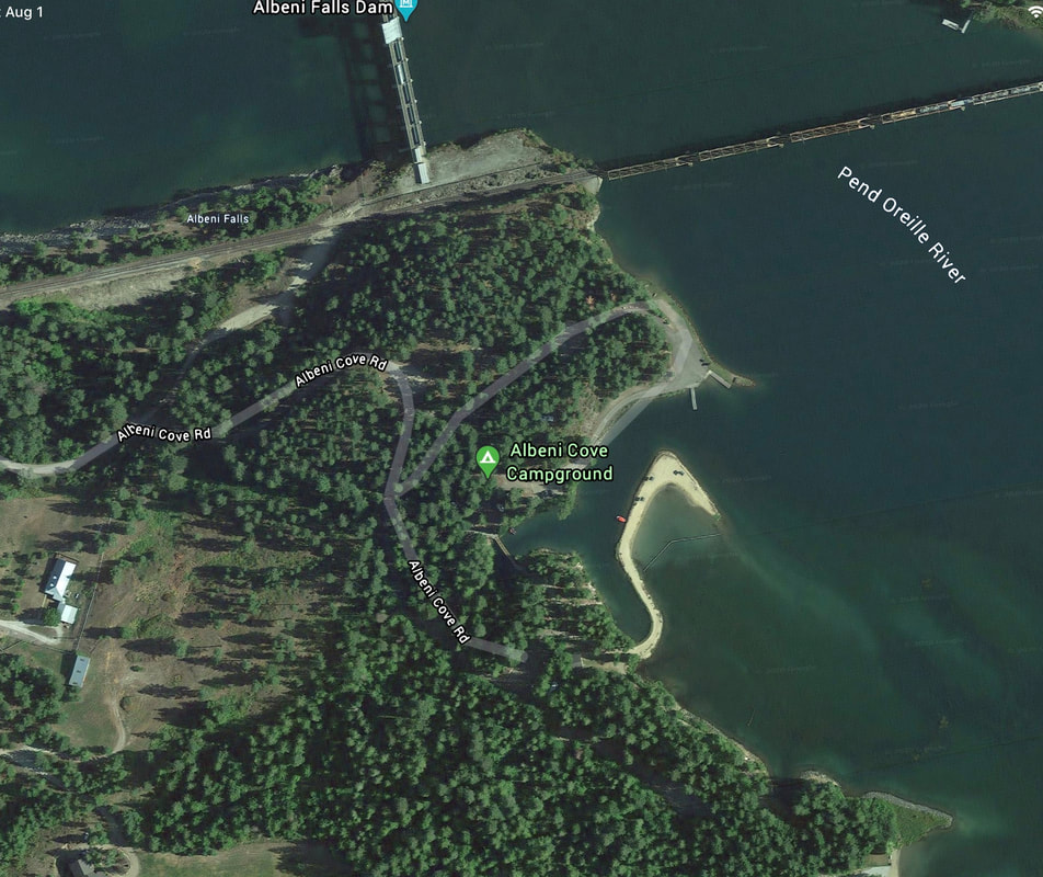
Albeni Cove is located next to the Albeni Dam just east of Newport, on the Pend Orielle River. The camp hounds offer 14 camp sites, flush toilets, picnic tables, showers, a boat ramp and dock. The P.O.River Stretches 65 miles down stream and 27 miles up stream to the Long Bridge at Sandpoint.
ATTRACTIONS
The Pend Orielle River meanders thru a wide valley as it stretches from Sandpoint to the Boundary Dam north of Metaline Falls, in N. Washington. Views of the American Selkirks. Sullivan Lake, Boundary Dam and Pewee Falls.
DIRECTIONS:
From Spokane, drive north to Newport. At Newport, head east on Hwy 2 for less then 2 miles to the Albeni Dam site.
COOL THINGS CLOSE BY:
Box Canyon and Boundary Dams, Pewee Falls, Sweetwater Falls, and Sullivan Lake