NORTHRUP CANYON & LAKE
EVENT TYPE: Day hiking, backpacking, & equestrian.
DISTANCE: 7 miles RT
ELEVATION: 510’
DIFFICULTY: Moderate
MAPS: Steamboat Rock SE, Electric City topos
GPS: 47°51’96’ N 119°04’95” W
MANAGING AGENCY: W.S.P.& R. 509.636.1304
GRANT COUNTY SHERIFF: CALL 911 FIRST or 509.536.1200
DISTANCE: 7 miles RT
ELEVATION: 510’
DIFFICULTY: Moderate
MAPS: Steamboat Rock SE, Electric City topos
GPS: 47°51’96’ N 119°04’95” W
MANAGING AGENCY: W.S.P.& R. 509.636.1304
GRANT COUNTY SHERIFF: CALL 911 FIRST or 509.536.1200
DESCRIPTION:
WE HAVE ADDED THE AREAS SHERIFF’S EMERGENCY PHONE NUMBERS FOR EACH TRIP WRITE UP UNDER THE RANGER DISTRICT INFO. IF AN EMERGENCY OCURRS, EVALUATE YOUR CIRCUMSTANCES AND CALL ONLY IF NEEDED.
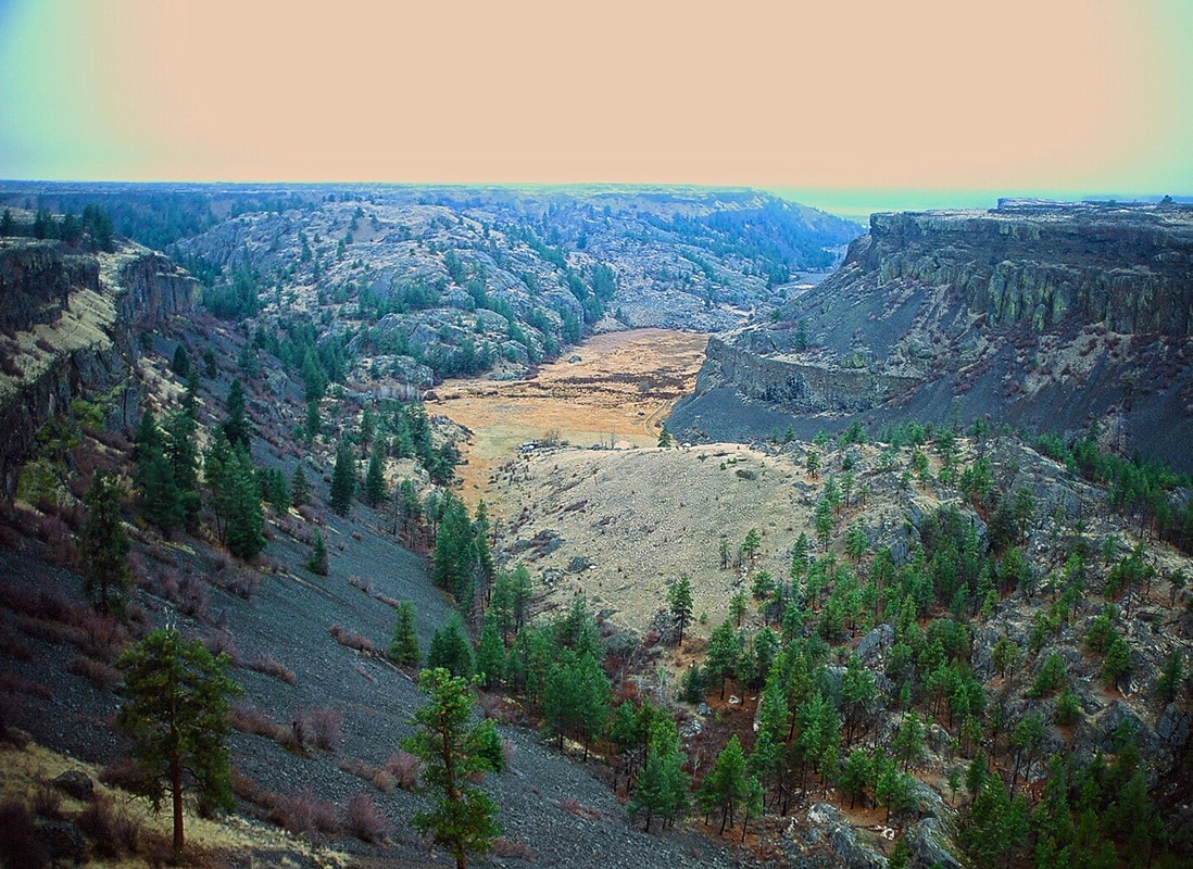
As you drive into the parking lot, it becomes obvious that this is a special place. On the trail/road in at the start, the towering cliffs that circle the lower canyon demand your attention.
But, as you walk the road, curious items make you go off road to see a spectacular sight.
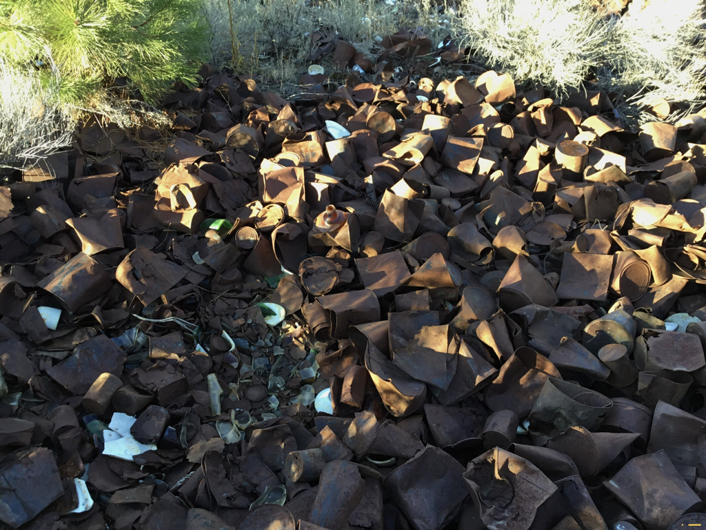
On your left is a sea of tin cans, so deep you can't see the ground.
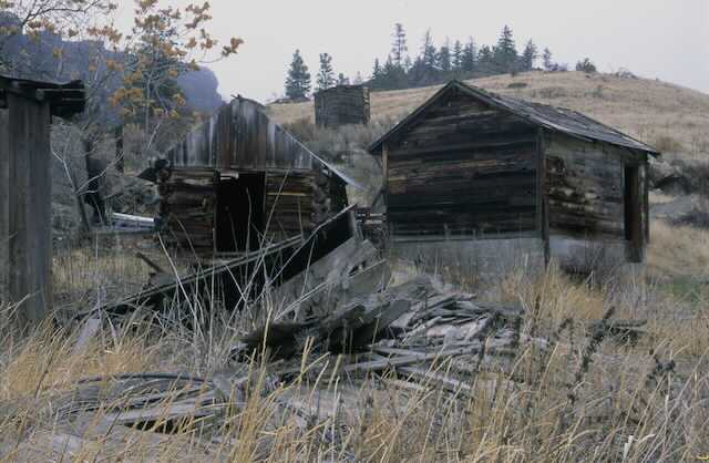
In 1934 the Grand Coulee Dam was under construction. Northrup Canyon was the site of a huge encampment of Dam employees. Up hill from the tin can pile, was the kitchen and mess hall. As they used the can, they would just throw them out the back door. Hence, a massive pile of old rusty tin cans with a few bottles, cups and plates here and there.
If you are a birder, watch the sky’s for Golden Eagles.
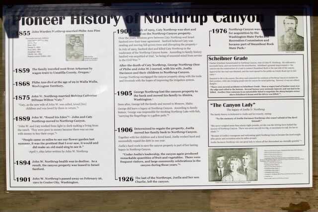
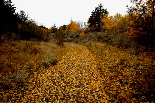
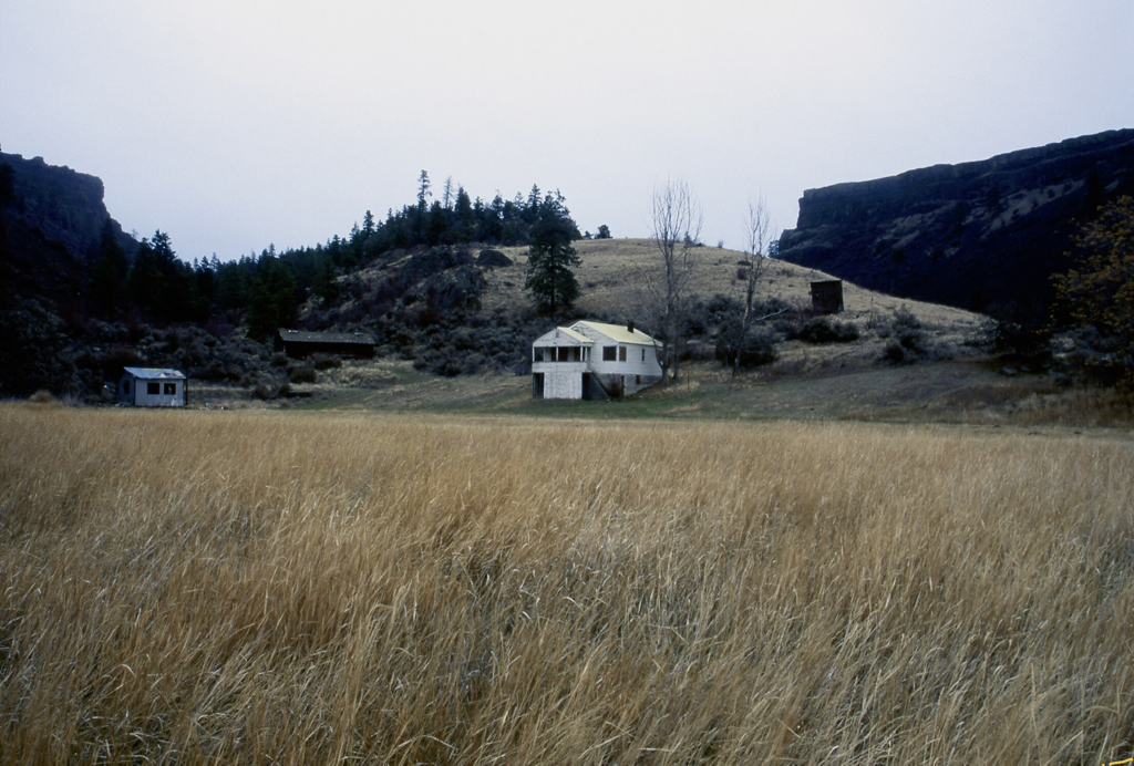
Back on the trail, the cliffs seem even taller than before. Off to the left (north) are a couple of granite protrusions to climb on. Further up the canyon, the 600' walls tower above. The forest on the way in, is mostly Aspens. All too soon the trail opens up into a wide valley that houses an ancient homestead, and a 30's or 40's house and outbuildings. The BLM used to use this area in front of the house to grow horse grains.
The trail continues up behind the homestead thru a sparse forest and many cool rock formations. A fire went thru the area years ago, so the brush is less intrusive.
Soon you come to the trails summit, and the lake is off in the distance. Remember this spot for OPTION #1. As the trail drops to the lake, it goes thru another sparse forest.
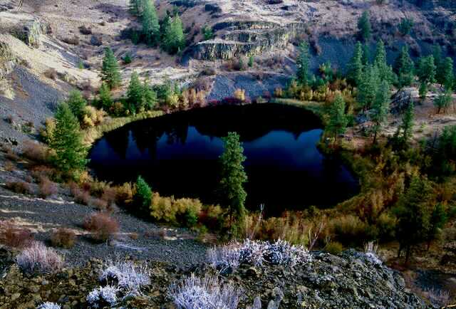
The lake shore is mostly brushy with some scattered boulders. This is a good spot for lunch.
Retrace your steps to the parking area.
OPTION #1:
From the trail in, as mentioned above, to extend your hike, veer left and work your way to a shelf above the back side of the lake. The last 40' are kind of steep but easily doable.
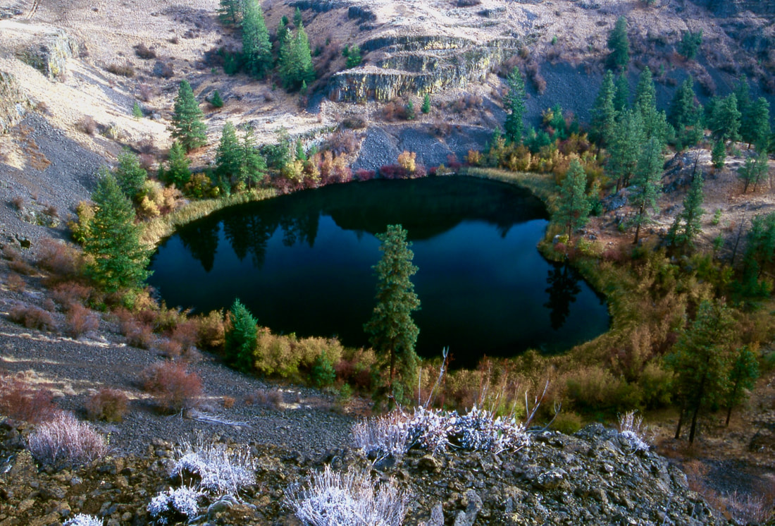
When the lake comes into view, notice it's shape. It's a heart shaped lake. Walk further around the lake up high and look for a good spot to have lunch. After lunch, continue around the lake and look for a faint old road that takes you down to the trail in.
Fall is the best time to do this route, because the shore line colors are spectacular.
You can go backwards on this route if you miss the turn off up high.
OPTION #2:
I once tried to hike the NW high ridge back to the trailhead for views and different terrain, but just past the homestead, the descent is very steep scree. Be careful.
OPTION #3:
At about .75 miles from the trailhead on the Northrup Lake Trail, look for a faint trail to the south. This spur trail takes you to an overlook in about .3 of a mile. From the overlook, you can continue back to the trailhead to the west.
DIRECTIONS:
From Spokane drive west on Highway 2 to the junction with SH #155. Turn right (north) and drive about 14 miles to the state park.
Just past Steamboat Rock on your right (east) is the road into Northrup Canyon. Drive up to the parking area.
Just past Steamboat Rock on your right (east) is the road into Northrup Canyon. Drive up to the parking area.
HAZARDS:
Some parts of the trail are rocky and rough, especially above the lake.
This is the scablands, so always be aware of stumbling on a rattlesnake.
In my 40 years of hiking the scabs, I've only seen one rattlesnake, and it was because i set my pack on it as I climbed over a fence
A WORD OF CAUTION WHILE HIKING IN THE SCABS
Because the terrain you will be in while hiking, you must be aware of your surroundings.
Note all high points and landmarks. Even those off in a distance.
They can be use to gain perspective of your current location, as apposed to your entry route.
ALWAYS MAKE SURE EACH HIKER IS CARRYING A MAP OF THE AREA.
AND DO NOT ALLOW ANY HIKER IN YOUR GROUP TO WONDER OFF.
YOUR GROUP MUST STAY TOGETHER.
There are safety shin guards you can buy to protect from snake bites.
COOL THINGS CLOSE BY:
Steamboat Rock, Banks Lake, Grand Coulee Dam, Lenore Caves, and Sun Lakes-Dry Falls State Park
R & P:
Harvest Retsaurant. Lenny’s In Cheney
PLAN YOUR TRIP:
Click for Current NOAA Weather Conditions
