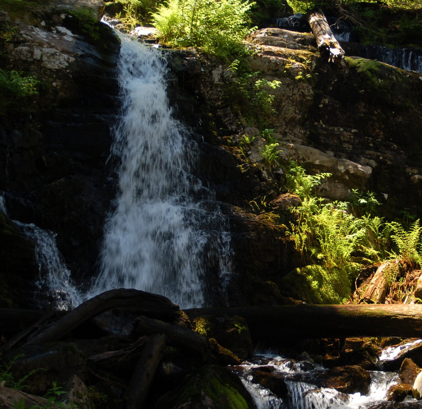
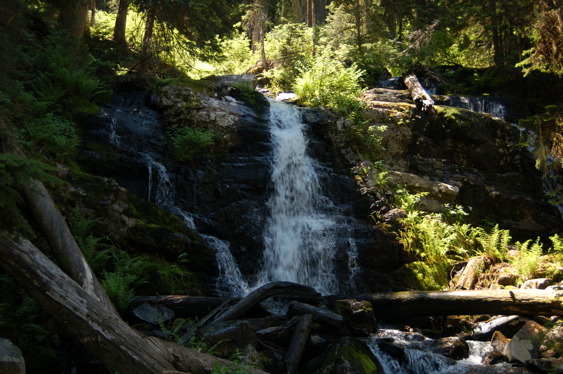
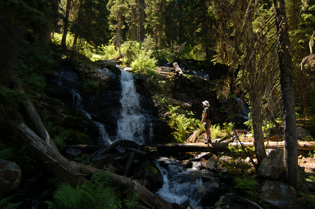
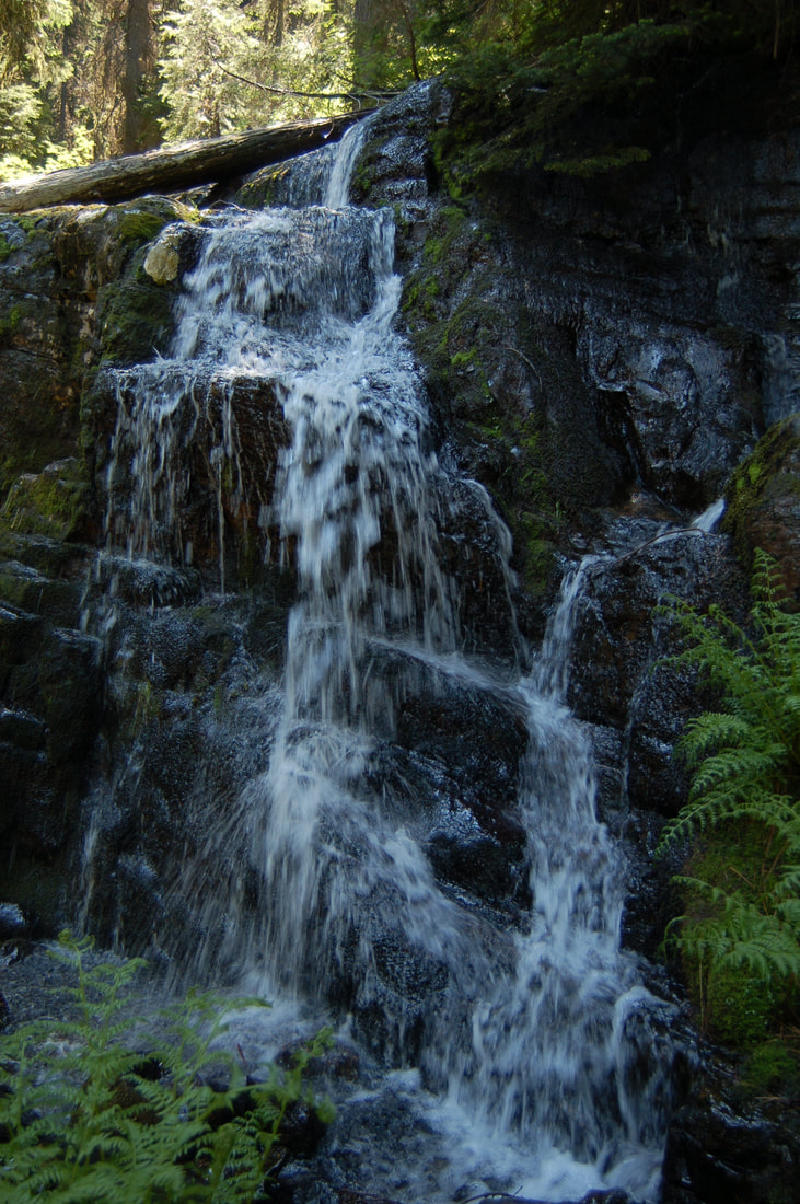
REVETT FALLS
WATERFALL : REVETT FALLS
DROP: 20'
WATERFALL TYPE: Tiered
DISTANCE CAR TO FALLS: .8 miles
MAPS: I.P.N.F., Burke & Thompson Pass topos
GPS: 47°56’09” N 115°??75’?10” W. Wallace Ranger District 208.752.1221
DROP: 20'
WATERFALL TYPE: Tiered
DISTANCE CAR TO FALLS: .8 miles
MAPS: I.P.N.F., Burke & Thompson Pass topos
GPS: 47°56’09” N 115°??75’?10” W. Wallace Ranger District 208.752.1221
DESCRIPTION:
The Revett waterfall(s) should be visited in the spring and early summer, due to lack of water.
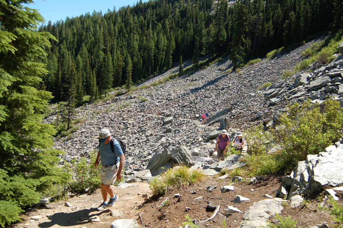
The hike starts at Thompson Pass on Idaho Hwy #9. At this pass is also the trailhead to L. & U. Blossom Lakes, on the Montana side.
Revett Lake trailhead starts about .4 miles up F.R. 266 to the west of the pass. You can park at the pass and walk the extra .8 miles if you wish.
The Revett Lake trail is easy and the falls aren't too far from the trailhead.
After visiting the falls, the lake is only 1.2 miles further. From the falls, the trail is easy all the way to the lake.
Above the lake on the west side is Granite Peak, 1144 vertical feet above the lake. To access the peak, see Revett Lake in the HIKE section.
If you visit the falls in late March or early April, there is actually 4 waterfalls, because of the run off.
DIRECTIONS:
Drive I-90 east to the Kingston exit # 43, and turn left (north) over the freeway and up FR #9, also known as the Coeur d'Alene River Road. Drive north for about 21 miles and bear right (east) at Pritchard, continue for about 16 miles to Thompson Pass at the Idaho Montana boarder. Off to the right at the summit of the road, you will see a parking area. The trailhead is up a short road near the south corner of the parking area.
COOL THINGS CLOSE BY:
Settler's Grove of ancient Cedars, historic Murray, L. & U. Blossom Lakes, Pear Lake, the CDA River, and Cube Iron Mountain.
HAZARDS:
None to the Lake, unless you who in the snow.
R & P:
Pizza Factory, 1313 Club, Brooks Hotel & Restaurant, City Limits Brew Pub, Fainting Goat, Smoke House BBQ & Saloon, Wallace Brewing Co., Muchacho’s Tacos in Wallace. Radio Brewing in Kellogg. , the Snake Pit, Moon Time, and the Mexican Food Factory
