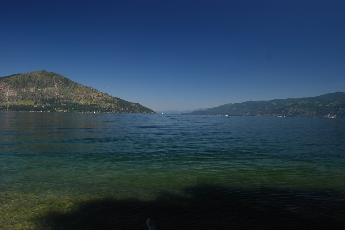
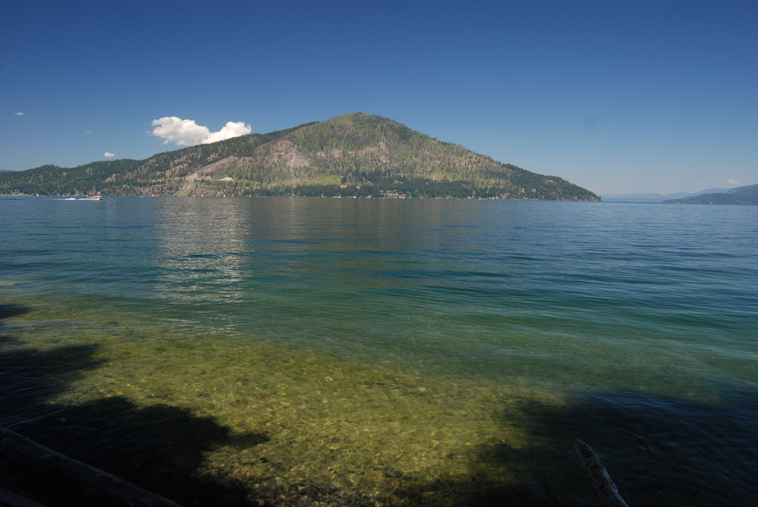
Echo Bay, Lake Pend Orielle, Idaho. 2055’
EVENT TYPE: Flat Water Paddling
DISTANCE: 5+ miles RT
ELEVATION: 2,057’
DIFFICULTY: Easy, but consult HAZARDS.
MAPS: Farragut S. P., Idlewilde Bay, Bernard Peak topo
GPS: 47°56’56” N 116°30’14” W
KOOTENAI COUNTY SHERIFF: 208.446.1300
DISTANCE: 5+ miles RT
ELEVATION: 2,057’
DIFFICULTY: Easy, but consult HAZARDS.
MAPS: Farragut S. P., Idlewilde Bay, Bernard Peak topo
GPS: 47°56’56” N 116°30’14” W
KOOTENAI COUNTY SHERIFF: 208.446.1300
PADDLING INSTRUCTIONS:
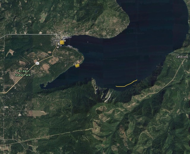
The paddle to Echo Bay starts at Bayview public launch, or the Farragut S. P. Eagle Boat Launch. From either site, paddle due East across Idlewilde Bay to Bernard Point at about 2.5 to 1.3 miles, respectfully.
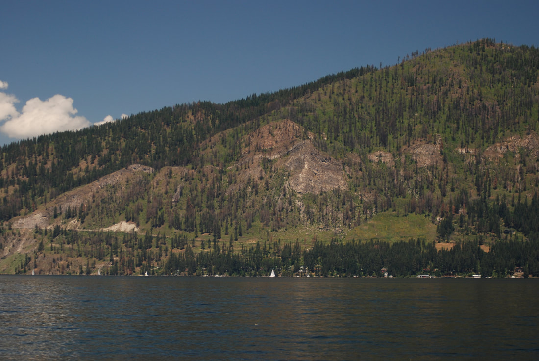
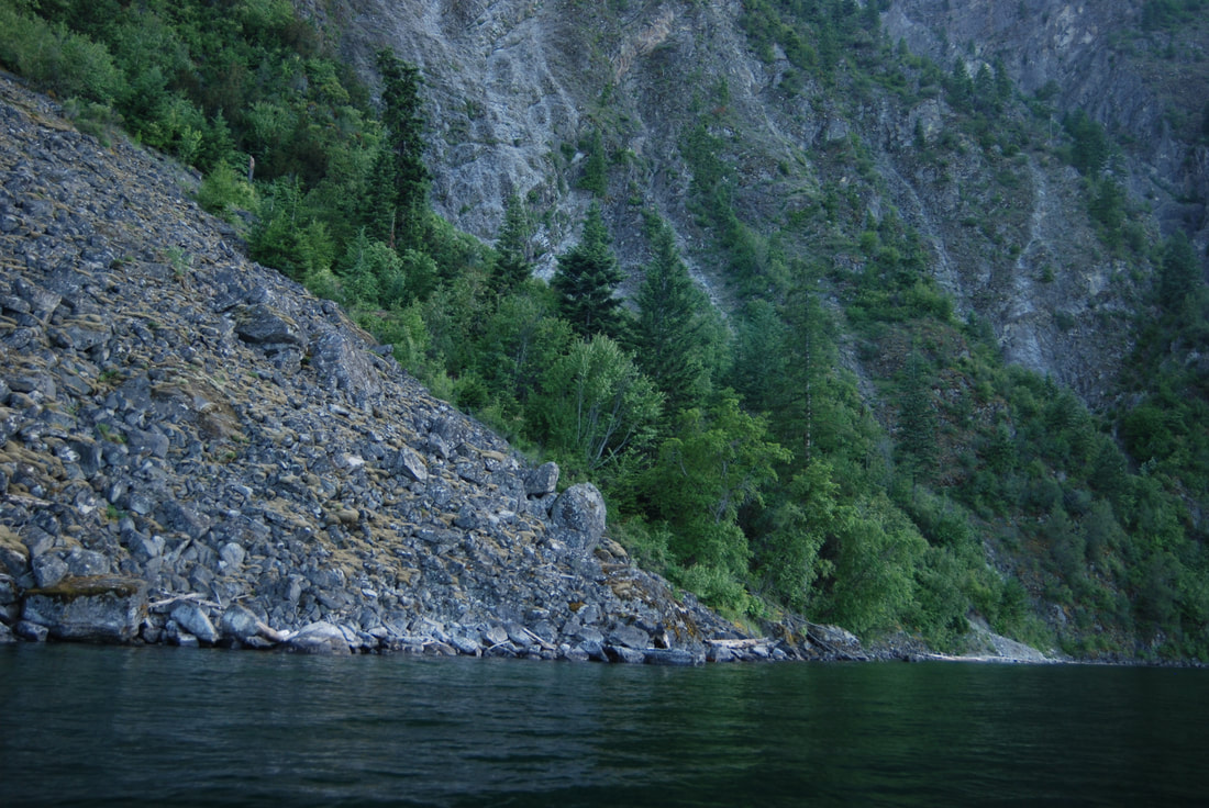
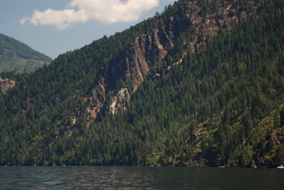
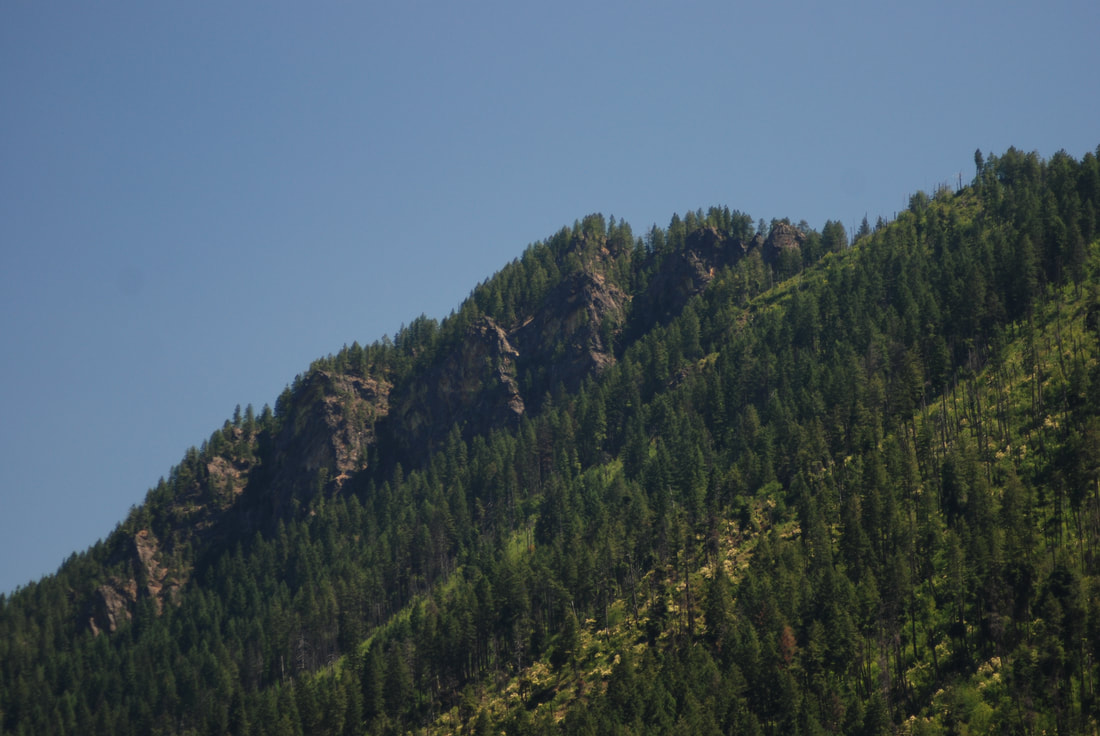
Paddle the shore line below Bernard Peak, under the massive near vertical wall. From Bernard Point to Echo Bay, keep an eye out for Mountain Goats high above.
As you paddle NE along the shore line, a mile long Echo Bay has a beach worth visiting. Because of the lay of the land, it’s mostly shaded. But has several sunny areas to catch the rays.
A major attraction to Echo Bay, is the massive amount of near perfect skipping rocks. But be careful, I’ve skipped so many, paddling back became an issue.
ITEMS OF INTEREST:
A major attraction to Echo Bay, is the massive amount of near perfect skipping rocks. But be careful, I’ve skipped so many, paddling back became an issue.
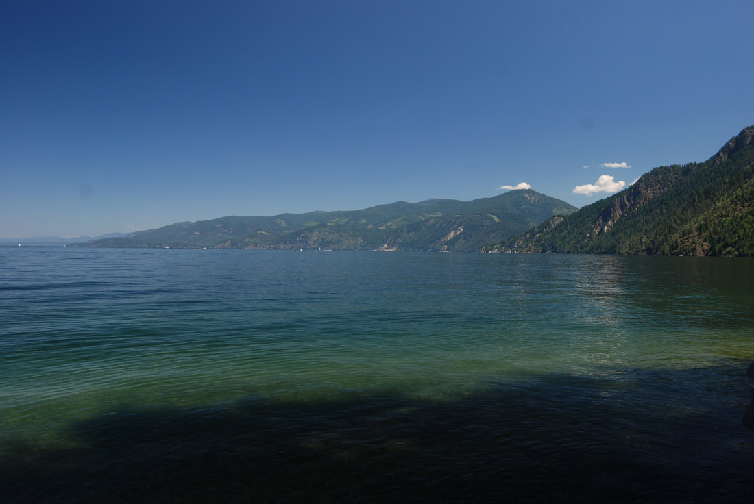
You may want to paddle further around the shore towards Lakeview.
From here you can retrace your strokes back, or if the lake is calm, you can paddle the 2.25 miles straight across to Cape Hope, and south to Bayview.
You may want to paddle further around the shore towards Lakeview.
From here you can retrace your strokes back, or if the lake is calm, you can paddle the 2.25 miles straight across to Cape Hope, and south to Bayview.
DIRECTIONS:
From CDA drive north on 95 toward Sandpoint. At Athol, exit right (East) onto S. H. 54. In 4 miles, do the roundabout to the pay station.
1/4 of a mile along 54, is the South Road, turn right and continue to the Eagle Boat Launch.
1/4 of a mile along 54, is the South Road, turn right and continue to the Eagle Boat Launch.
HAZARDS:
IF THE WINDS ARE UP, PULL YOUR BOAT UP ON SHORE. DO NOT ATTEMPT TO PADDLE IN HIGH WINDS.
If you are out, and the winds pick up, secure you cockpit cover, put all loose items below, and paddle carefully and fast to the nearest shore line.
Do not let the winds hit your boat broadside, It can blow you over.
If you are out, and the winds pick up, secure you cockpit cover, put all loose items below, and paddle carefully and fast to the nearest shore line.
Do not let the winds hit your boat broadside, It can blow you over.
R & P:
Rustler’s Roost in Hayden on 95. In CDA, Mexican Food Factory, Franklin’s Hoagies, and Moon Time
