KILLARNEY LAKE LAUNCH
PADDLE DISTANCE: 5.3 mile loop
ELEVATION: 2133’
LENGTH AND ACREAGE: 1.5 miles. & 498 acres
MAPS: IPNF, Lane Topo
LAUNCH GPS: 47°30’54” N 116°33’21” W
SHOSHONE COUNTY SHERIFF: 208.556.1114
ELEVATION: 2133’
LENGTH AND ACREAGE: 1.5 miles. & 498 acres
MAPS: IPNF, Lane Topo
LAUNCH GPS: 47°30’54” N 116°33’21” W
SHOSHONE COUNTY SHERIFF: 208.556.1114
DESCRIPTION:
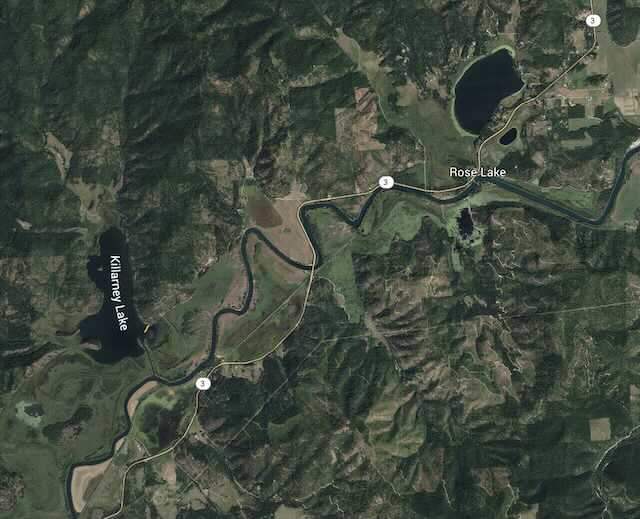
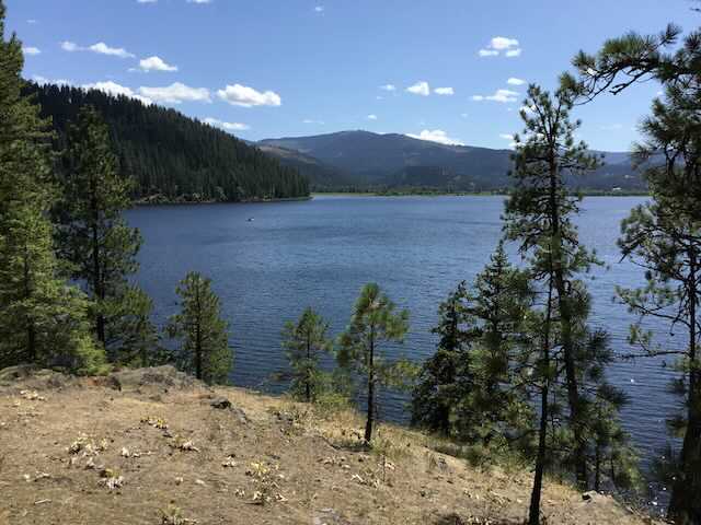
Killarney Lake is tucked away to the north of State Hwy 3 that starts up north at I-90 and heads down to Harrison, Idaho and beyond.
About 2 miles south on Hwy 3, look for the Killarney LakevRoad off to the right.
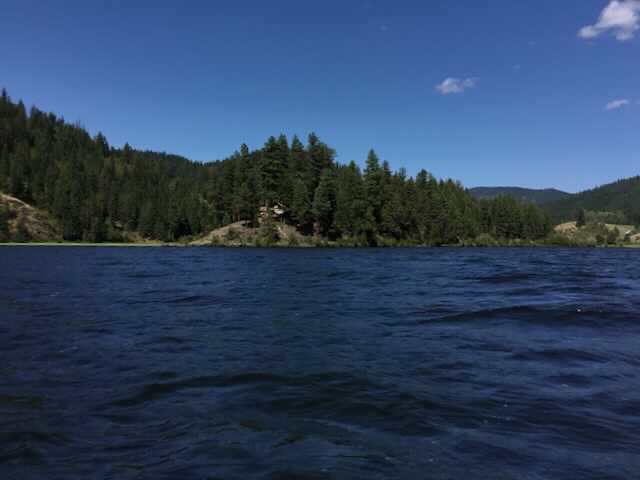
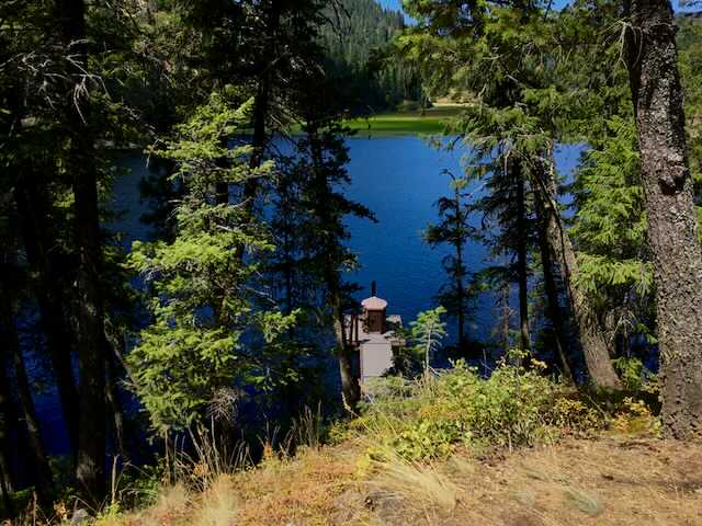
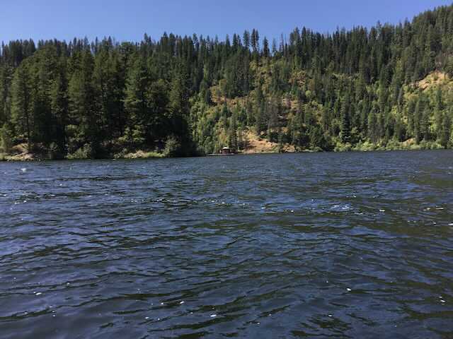
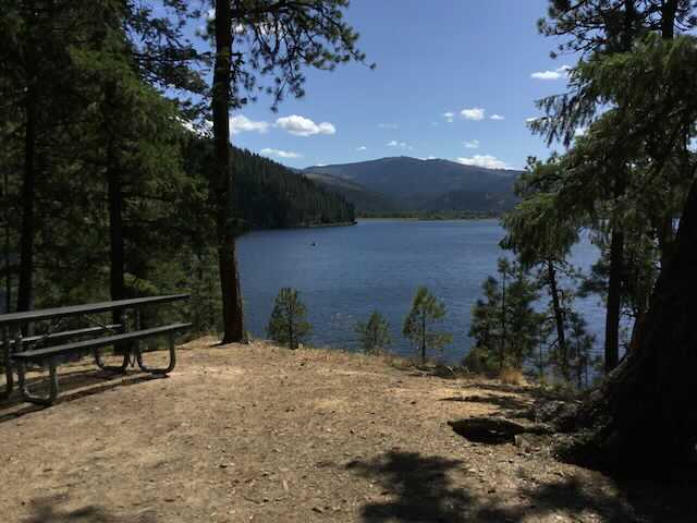
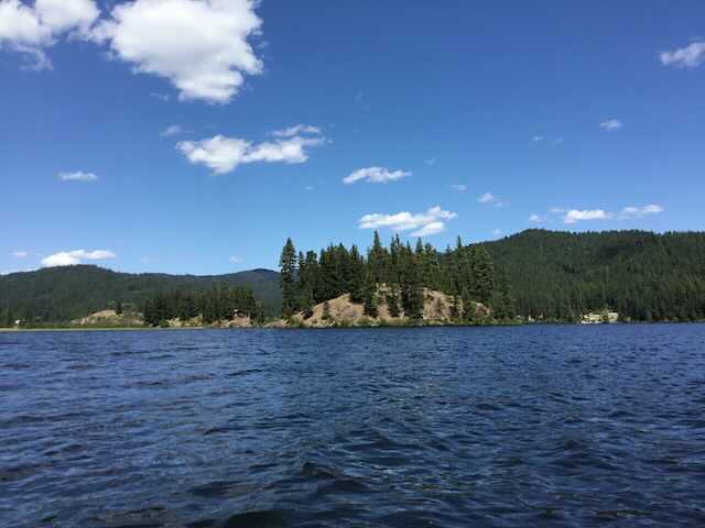
One attraction is Popcorn Island. There are a few campsites, and at the summit is a view south of Killarney Lake. Because the island is isolated from the mainland, there is an outhouse on the dock on the north side of the island.
Due south of the launch is a waterway to the CDA River. You can explore it as far as you’d like to paddle.
ATTRACTIONS
Popcorn Island, usually calm waters, and access to the CDA River.
DIRECTIONS:
Drive I-90 east of CDA, over the 4th of July Pass, and turn right (south) not Hwy 3 towards Harrison, Idaho. About two miles past the bridge over the CDA River, is the turn off to Killarney Lake.
COOL THINGS CLOSE BY:
Cave Lake, Medicine Lake, Rose Lake, Heyburn State Park, and Harrison, Idaho
R & P:
Trails End Brewery, Moon Time, Franklins, and Mexican Food Factory
